Fernhill Plantation
Wood, Forest in Somerset Mendip
England
Fernhill Plantation

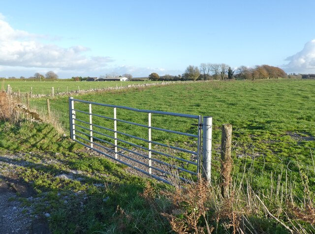
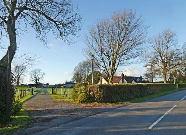
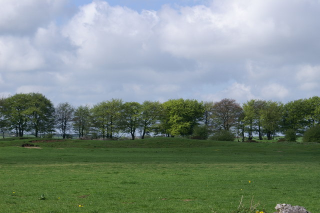
Fernhill Plantation is an enchanting woodland located in Somerset, England. Covering an expansive area, it is known for its lush greenery and diverse ecosystem. The plantation is situated in a region with a temperate climate, characterized by mild summers and cool winters, which provides ideal conditions for the growth of various plant species.
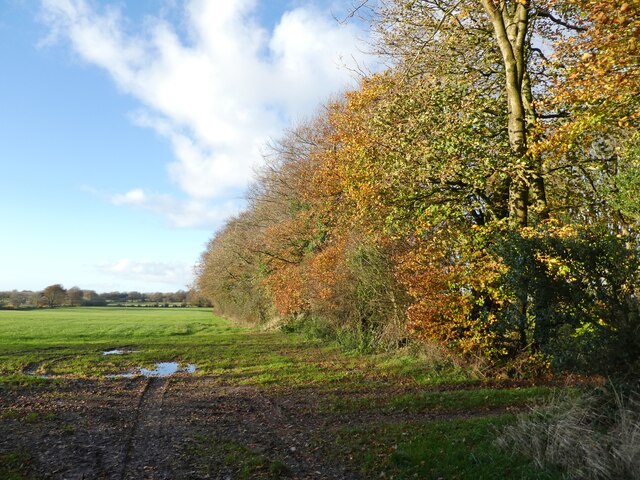
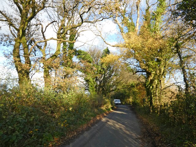
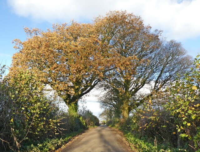
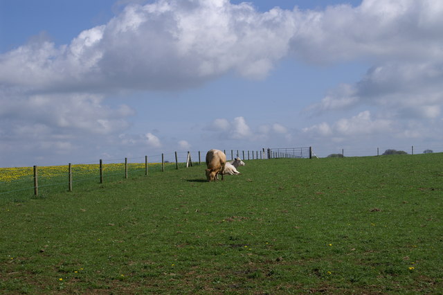
The plantation primarily consists of a dense forest, comprising a variety of tree species such as oak, beech, ash, and pine. These towering trees create a captivating canopy, casting dappled sunlight onto the forest floor. The undergrowth is abundant with ferns, hence the name "Fernhill." Their delicate fronds add a touch of elegance to the landscape, creating a tranquil and picturesque atmosphere.
The plantation is home to a rich array of wildlife, including deer, rabbits, squirrels, and a myriad of bird species. The forest provides a sanctuary for these animals, offering ample food sources and shelter. It is a popular spot for birdwatchers, who can catch a glimpse of native species such as woodpeckers, warblers, and owls.
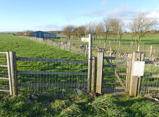
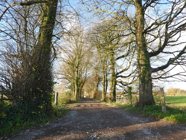
Fernhill Plantation also features a network of scenic walking trails, allowing visitors to explore the beauty of the woodland at their own pace. The trails wind through the forest, offering glimpses of serene ponds and babbling brooks along the way. It is a haven for nature enthusiasts, providing a peaceful escape from the bustling city life.
In conclusion, Fernhill Plantation in Somerset is a captivating woodland that offers a serene and captivating experience for visitors. With its diverse array of flora and fauna, it is a testament to the beauty and richness of nature in this part of England.
If you have any feedback on the listing, please let us know in the comments section below.
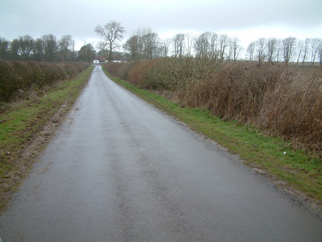
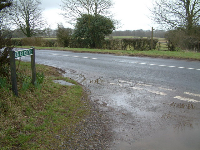
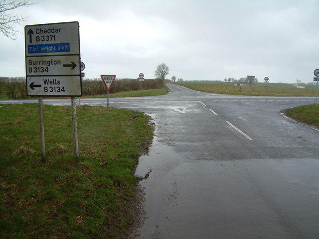
Fernhill Plantation Images
Images are sourced within 2km of 51.295692/-2.6807457 or Grid Reference ST5255. Thanks to Geograph Open Source API. All images are credited.


Fernhill Plantation is located at Grid Ref: ST5255 (Lat: 51.295692, Lng: -2.6807457)
Administrative County: Somerset
District: Mendip
Police Authority: Avon and Somerset
What 3 Words
///streaking.campfires.golf. Near Compton Martin, Somerset
Nearby Locations
Related Wikis

Lamb Leer
Lamb Leer (grid reference ST544550) is a 14.59 hectare (36.04 acre) geological Site of Special Scientific Interest between East Harptree and Priddy in...

Compton Martin Ochre Mine
Compton Martin Ochre Mine (grid reference ST543566) is a 0.85 hectare geological and biological Site of Special Scientific Interest located on the north...

Charterhouse Camp
Charterhouse Camp is a univallate Iron Age hillfort in the Mendip district of Somerset, England. The hillfort is situated approximately 0.6 miles (0.97...

A368 road
The A368 is a part primary status A road in North Somerset, England. It runs from Marksbury (near Bath) to Banwell (near Weston-super-Mare) along the northern...

Wurt Pit and Devil's Punchbowl
Wurt Pit and Devil's Punchbowl (grid reference ST543537) is a 0.2 hectare (0.5 acre) geological Site of Special Scientific Interest between East Harptree...

Church of St Michael the Archangel, Compton Martin
The Parish church of St Michael the Archangel (grid reference ST545570) is in the village of Compton Martin, Somerset, England. The church is a grade I...

Charterhouse (Roman town)
Charterhouse was a town in the Roman province of Britannia. Its site is located just to the west of the village of Charterhouse-on-Mendip in the English...
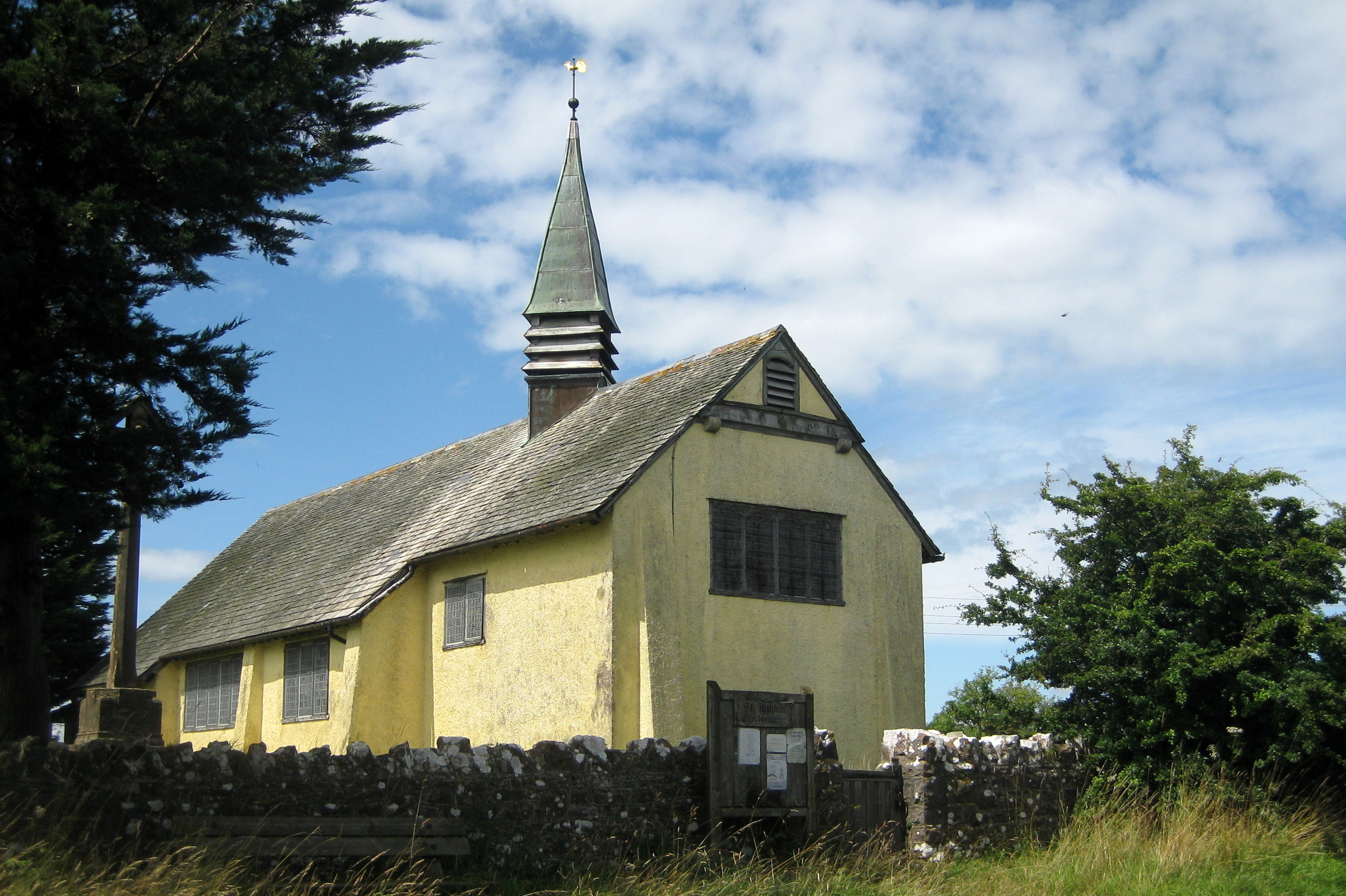
Church of St Hugh, Charterhouse
The Anglican Church of St Hugh in Charterhouse, within the English county of Somerset, dates from 1908. It is a Grade II* listed building. The church is...
Nearby Amenities
Located within 500m of 51.295692,-2.6807457Have you been to Fernhill Plantation?
Leave your review of Fernhill Plantation below (or comments, questions and feedback).