Avenel Moss
Downs, Moorland in Roxburghshire
Scotland
Avenel Moss
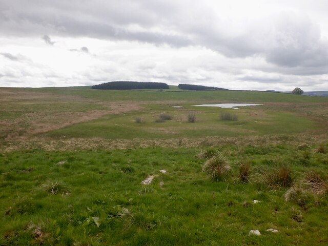
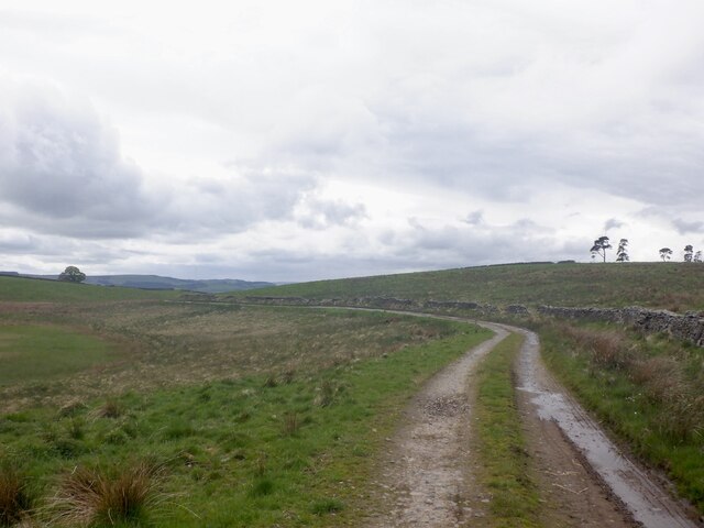
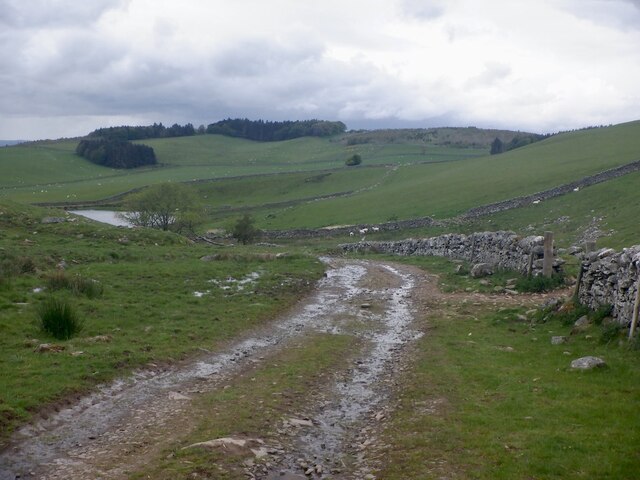
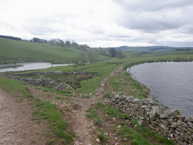
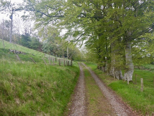
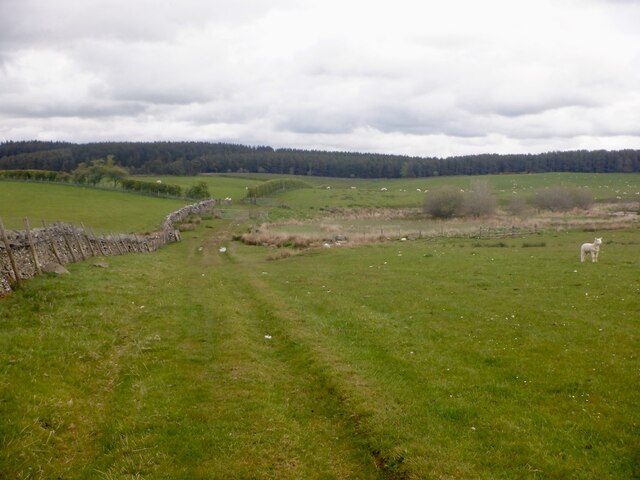
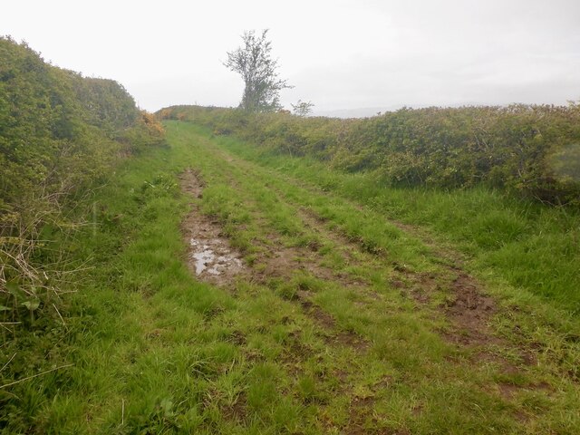
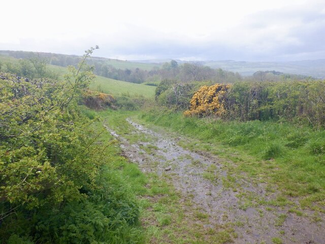
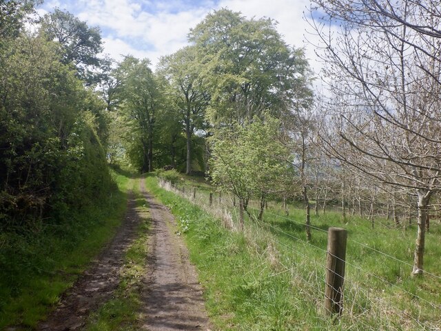
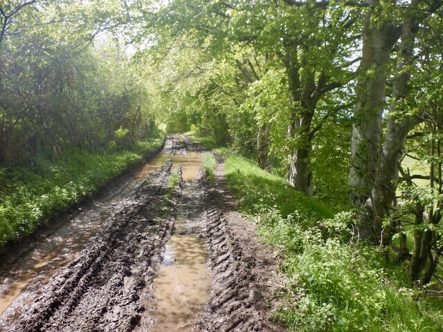
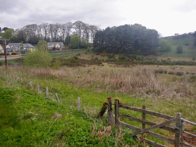
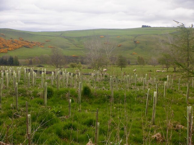
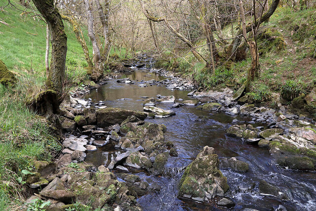
Avenel Moss is a natural habitat located in Roxburghshire, Scotland. Situated amidst the picturesque Downs and Moorland, it offers a unique and diverse ecosystem. Covering an area of approximately 50 square kilometers, Avenel Moss is a haven for a variety of plant and animal species.
The moss is characterized by its wetland environment, with patches of peat bogs and marshes scattered throughout. These conditions create an ideal habitat for several species of mosses, ferns, and other water-loving plants. The mossland supports a rich plant biodiversity, including species such as sphagnum moss, heather, and cotton grass.
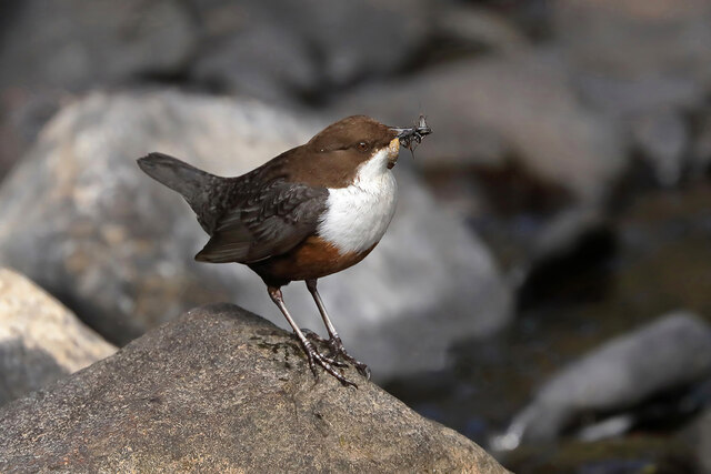
The area is also home to a wide range of bird species, making it a popular destination for birdwatchers. Visitors may spot birds such as curlews, lapwings, and red grouse, among others. The presence of these avian species adds to the overall charm and tranquility of the moss.
Avenel Moss is not only a natural beauty but also plays a significant role in preserving the environment. It acts as a carbon sink, storing carbon dioxide and helping to mitigate climate change. The mossland also helps regulate water levels, reducing the risk of flooding in surrounding areas.
With its stunning landscapes, diverse flora and fauna, and ecological significance, Avenel Moss is a must-visit destination for nature enthusiasts and those seeking a peaceful retreat. Whether exploring the moss on foot or simply admiring its beauty from a distance, it offers a truly enchanting experience for all who visit.
If you have any feedback on the listing, please let us know in the comments section below.
Avenel Moss Images
Images are sourced within 2km of 55.627684/-2.7550323 or Grid Reference NT5237. Thanks to Geograph Open Source API. All images are credited.
Avenel Moss is located at Grid Ref: NT5237 (Lat: 55.627684, Lng: -2.7550323)
Unitary Authority: The Scottish Borders
Police Authority: The Lothians and Scottish Borders
What 3 Words
///superhero.pioneered.momentous. Near Tweedbank, Scottish Borders
Nearby Locations
Related Wikis

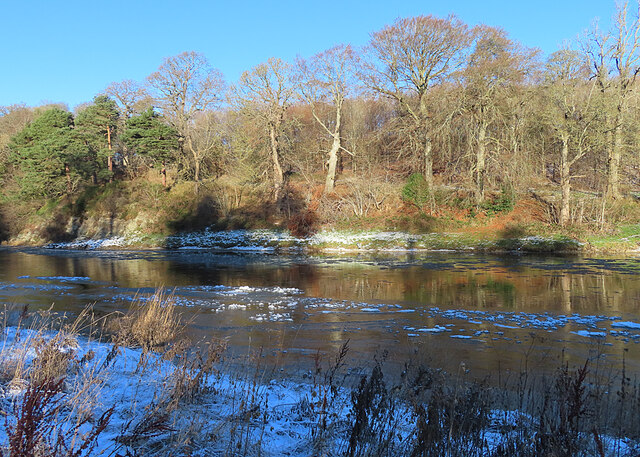
Gala Water
The Gala Water (Lowland Scots: Gala Watter; Scottish Gaelic An Geal Ath) is a river in the Scottish Borders area of Scotland and a tributary of the River...

Tweedbank railway station
Tweedbank is a railway station on the Borders Railway, which runs between Edinburgh Waverley and Tweedbank. The station, situated 35 miles 34 chains (57...
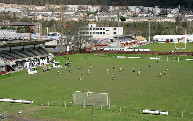
Netherdale
Netherdale is a sports complex in Galashiels, Scottish Borders, consisting of two adjacent stadiums used for rugby union and football. The rugby ground...

Tweedbank
Tweedbank is a large village south-east of Galashiels in the Scottish Borders, Scotland. It is part of the county of Roxburghshire. It is an outer suburb...

Borders College
Borders College (Scottish Gaelic: Colaiste nan Crìochan) is a further education institution in the Scottish Borders, Scotland. Its main campus is located...

Gattonside
Gattonside is a small village in the Scottish Borders. It is located 1 kilometre (0.62 mi) north of Melrose, on the north side of the River Tweed. In 1143...

Darnick
Darnick is a village near Melrose in the Scottish Borders area of Scotland, in the former Roxburghshire. The name was first recorded in 1124, and has changed...
Galashiels Golf Club
Galashiels Golf Club is a golf course to the north of Galashiels, Scotland. The course was reduced from 18 holes to 9 holes in 2008. == History == Founded...
Nearby Amenities
Located within 500m of 55.627684,-2.7550323Have you been to Avenel Moss?
Leave your review of Avenel Moss below (or comments, questions and feedback).