Rosgill Moor

Downs, Moorland in Westmorland Eden

England

Rosgill Moor

An old cairn, Ralfland Forest
An old cairn, Ralfland Forest Credit: David Brown

Rosgill Moor is a picturesque area located in the county of Westmorland, England. Known for its stunning natural beauty, it encompasses both downs and moorland landscapes, offering visitors a diverse range of scenery to explore.

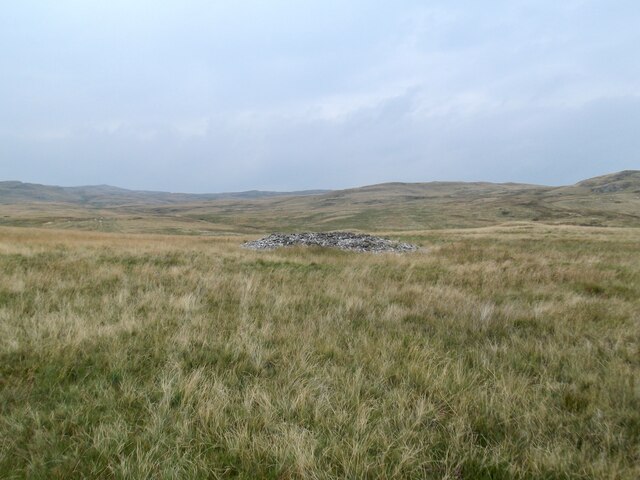
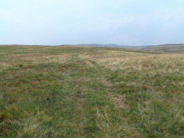
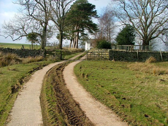
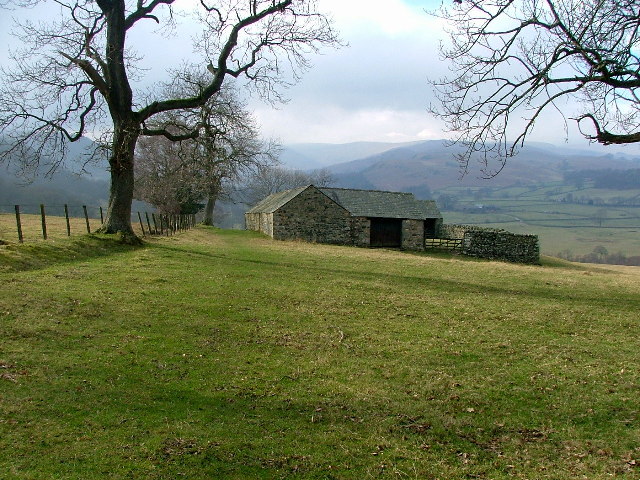
Situated in the northern part of Westmorland, Rosgill Moor is characterized by its rolling hills, expansive open spaces, and heather-covered moors. The moorland is a vast expanse of undulating terrain, adorned with vibrant purple heather during the summer months. This creates a breathtaking sight for nature enthusiasts and hikers alike.

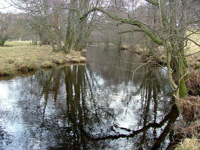
The area is home to an array of wildlife, with various species of birds, including skylarks and curlews, being commonly spotted. The moorland also provides a habitat for unique flora and fauna, such as bilberry bushes and the rare marsh saxifrage.

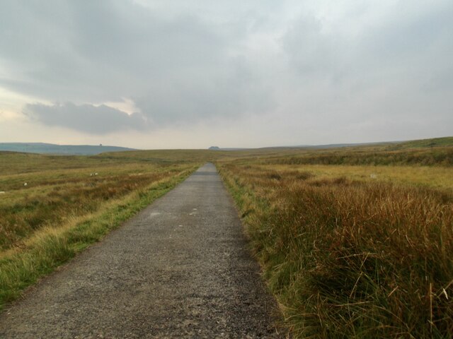
In addition to its natural splendor, Rosgill Moor boasts several walking paths and trails that allow visitors to explore the area at their own pace. These paths wind through the moorland and downs, offering panoramic views of the surrounding countryside.

The peaceful and tranquil atmosphere of Rosgill Moor makes it an ideal destination for those seeking solace in nature. The unspoiled landscapes and wide-open spaces provide a sense of escape from the hustle and bustle of modern life.

Overall, Rosgill Moor in Westmorland is a captivating destination for nature lovers, offering a diverse range of landscapes, abundant wildlife, and a tranquil environment that allows visitors to immerse themselves in the beauty of the natural world.

If you have any feedback on the listing, please let us know in the comments section below.
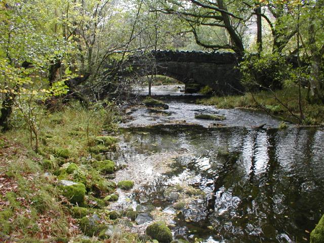
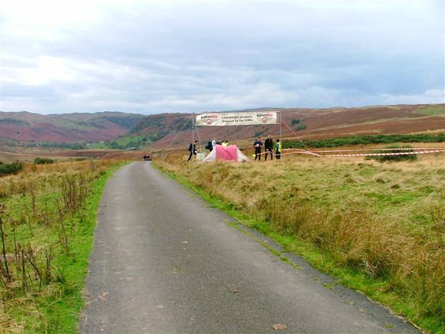
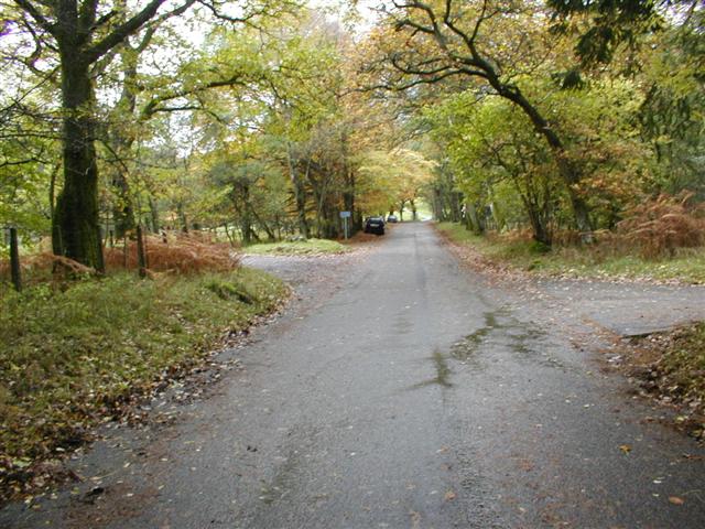
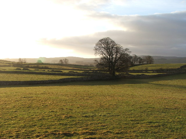
Rosgill Moor Images

Images are sourced within 2km of 54.529979/-2.7346909 or Grid Reference NY5215. Thanks to Geograph Open Source API. All images are credited.

An old cairn, Ralfland Forest
Southward path on Ralfland Forest A well marked path on the map but rather vague on the ground
Southward path on Ralfland Forest
A well marked path on the map but rather vague on the ground
The water board road
Above Naddle Farm Scrub woodland on the bridleway over to Swindale.
Above Naddle Farm
Scrub woodland on the bridleway over to Swindale.
Swindale The bridleway from Naddle farm below Bewbarrow Crag
Swindale
The bridleway from Naddle farm below Bewbarrow Crag
Naddle Bridge Viewed from upstream only the new one can be seen.
Naddle Bridge
Viewed from upstream only the new one can be seen.
Road to Swindale Looking SSW from the crossroads on Rosgill Moor down into Swindale. The area was used for one of the overnight camps in the 2005 Karrimor International Mountain Marathon.
Road to Swindale
Looking SSW from the crossroads on Rosgill Moor down into Swindale. The area was used for one of the overnight camps in the 2005 Karrimor International Mountain Marathon.
Burnbanks Wood View north along the Haweswater road towards Naddle Bridge. The area is well known for its red squirrels. I saw several but none were prepared to pose.
Burnbanks Wood
View north along the Haweswater road towards Naddle Bridge. The area is well known for its red squirrels. I saw several but none were prepared to pose.
Rosgill Hall. Looking E from the road at NY 535 165.
Rosgill Hall.
Looking E from the road at NY 535 165.
Farmland near Walmgate. Slightly SE of Walmgate.
Farmland near Walmgate.
Slightly SE of Walmgate.
Earthworks Extensive earthworks to the west of the river Lowther, are associated with the Shap Abbey Estate. This view is taken from where the Coast to Coast Path crosses the earthwork looking in a south west direction
Earthworks
Extensive earthworks to the west of the river Lowther, are associated with the Shap Abbey Estate. This view is taken from where the Coast to Coast Path crosses the earthwork looking in a south west direction
Parish Crag Bridge a shapely bridge in a wooded area over the large Swindale Beck
Parish Crag Bridge
a shapely bridge in a wooded area over the large Swindale Beck
Goodcroft I no nothing about the farmhouse other than the name on the Map - Goodcroft
Goodcroft
I no nothing about the farmhouse other than the name on the Map - Goodcroft
The Coast to Coast Path passing Rawhead A farmhouse overlooking the Lowther Valley.
The Coast to Coast Path passing Rawhead
A farmhouse overlooking the Lowther Valley.
Highpark Buildings Looking westward, the Coast to Coast footpath appears to go to the left of the building contrary to the map.
Highpark Buildings
Looking westward, the Coast to Coast footpath appears to go to the left of the building contrary to the map.
Haweswater Beck Looking downstream. As I was going to take this photo I came across an otter on the bank and then in the beck. Unfortunately it can't be seen in this photo (or any other) as it was too quick for me.
Haweswater Beck
Looking downstream. As I was going to take this photo I came across an otter on the bank and then in the beck. Unfortunately it can't be seen in this photo (or any other) as it was too quick for me.
Thornthwaite Force on Haweswater Beck
Thornthwaite Force
on Haweswater Beck
North West Water Access Road Although marked as a permissive path on the OS map, sign on the road restrict the road to 'Works Traffic only'
North West Water Access Road
Although marked as a permissive path on the OS map, sign on the road restrict the road to 'Works Traffic only'
Show me another place!

Rosgill Moor is located at Grid Ref: NY5215 (Lat: 54.529979, Lng: -2.7346909)

Administrative County: Cumbria

District: Eden

Police Authority: Cumbria

What 3 Words

///overt.being.broth. Near Shap, Cumbria

Nearby Locations

Hazel Shaw Rosgill Moor

Related Wikis

Bomby

Bomby is a village in Cumbria, England. Bomby village consists only of one farm house. The farm is mostly known for its specific potatoes, the Kind Edward...

Naddle Horseshoe

The Naddle Horseshoe is a group of summits in the English Lake District, south of Mardale valley, Cumbria. It is the subject of a chapter of Wainwright...

Swindale Beck

Swindale Beck is a stream in Cumbria, England. It is formed at Swindale Head where Mosedale Beck, from the slopes of Tarn Crag, joins Hobgrumble Beck from...

Shap Abbey

Shap Abbey was a religious house of the Premonstratensian order of Canons regular situated on the western bank of the River Lowther in the civil parish...

Bampton Grange

Bampton Grange is a village in Cumbria, England. Haweswater Beck arises as a stream discharge from Haweswater Reservoir and flows eastward, just north...

Keld, Cumbria

Keld (or Keilde) is a hamlet in the English county of Cumbria. It lies within the civil parish of Shap. On the banks of the River Lowther it is a mile...

Haweswater Beck

Haweswater Beck flows through Cumbria in England. It arises as a stream discharge from Haweswater Reservoir, at Gill Dubs, just east of the dam, and flows...

Bampton, Cumbria

Bampton is a village and civil parish in the Eden District of Cumbria, England, on the edge of the Lake District National Park. It is in the historic...

Nearby Amenities

Located within 500m of 54.529979,-2.7346909
Rosgill Moor
Place: locality
Lat/Long: 54.530829/-2.7377726
Fixme: Unfinished
Lat/Long: 54.5311538/-2.7341226
Pipeline: manhole
Lat/Long: 54.5267797/-2.7389092
Waterway: intake
Lat/Long: 54.5287455/-2.736479
Waterway: sluice_gate
Lat/Long: 54.5287502/-2.7364927
Power: pole
Lat/Long: 54.5291795/-2.7277454
Power: pole
Lat/Long: 54.5285323/-2.7287413
Power: pole
Lat/Long: 54.5277589/-2.7294344
Power: pole
Lat/Long: 54.5269771/-2.7301203
Power: pole
Lat/Long: 54.5261839/-2.7308134
The data included in this document is from www.openstreetmap.org. The data is made available under ODbL.

Have you been to Rosgill Moor?

Leave your review of Rosgill Moor below (or comments, questions and feedback).