Oil Moor
Downs, Moorland in Somerset South Somerset
England
Oil Moor
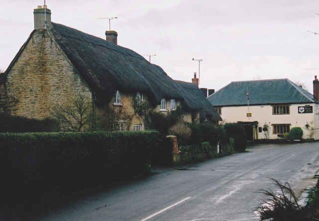
Oil Moor is a picturesque area located in Somerset, England. Situated on the eastern edge of Exmoor National Park, it encompasses both downs and moorland landscapes, offering a diverse range of natural beauty. The area is characterized by rolling hills, open grasslands, and heather-covered moors, creating a stunning and tranquil environment.
The downs of Oil Moor are marked by gentle slopes and are mostly covered in lush grass, providing a perfect habitat for grazing livestock. This pastoral landscape is dotted with small picturesque farms, adding to the charm of the area. The moorland, on the other hand, consists of vast expanses of heather, interspersed with scattered trees and occasional rocky outcrops. The moors are home to a variety of wildlife, including red deer, ponies, and a wide range of birds.
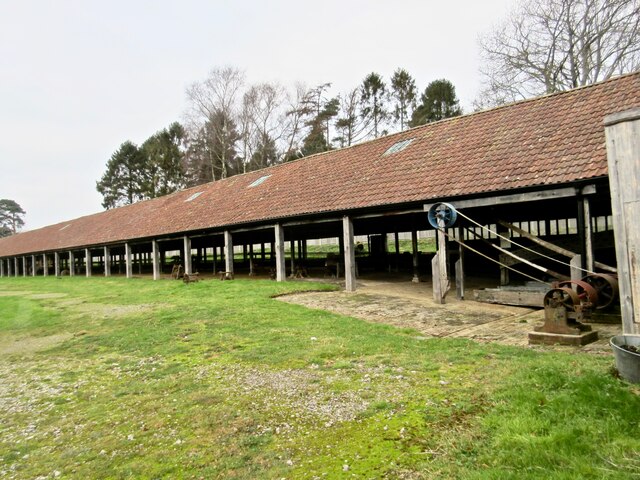
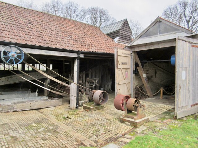
Oil Moor is also known for its rich history and archaeological significance. The area contains several ancient burial mounds and stone circles, indicating human presence dating back thousands of years. Additionally, remnants of old mining operations can be found, reminding visitors of the area's industrial past.
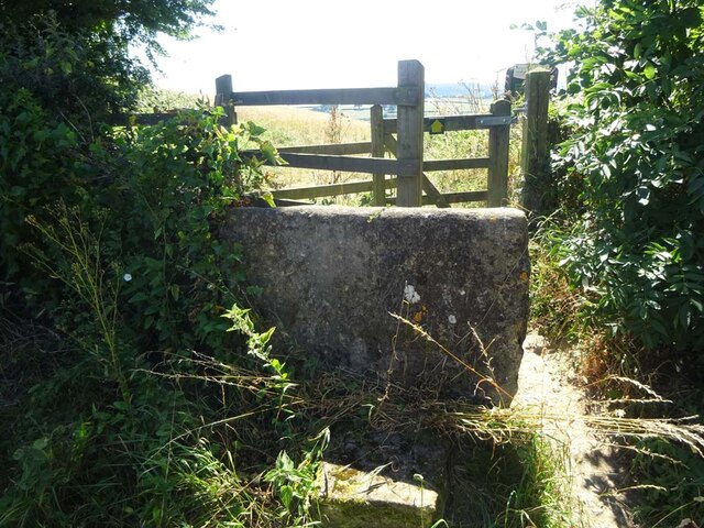
The natural beauty and tranquility of Oil Moor make it a popular destination for outdoor enthusiasts. Visitors can explore the area through a network of walking trails and bridleways, providing opportunities for hiking, horseback riding, and wildlife spotting. The panoramic views from the higher elevations are particularly breathtaking, offering a glimpse of the surrounding countryside.
Overall, Oil Moor in Somerset is a captivating blend of downs and moorland, offering a diverse and beautiful landscape that attracts both nature lovers and history enthusiasts alike.
If you have any feedback on the listing, please let us know in the comments section below.
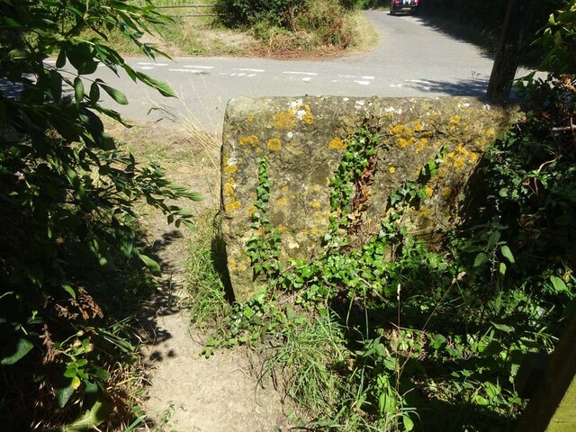
Oil Moor Images
Images are sourced within 2km of 50.90768/-2.6803878 or Grid Reference ST5212. Thanks to Geograph Open Source API. All images are credited.

Oil Moor is located at Grid Ref: ST5212 (Lat: 50.90768, Lng: -2.6803878)
Administrative County: Somerset
District: South Somerset
Police Authority: Avon and Somerset
What 3 Words
///lump.invite.lawfully. Near West Coker, Somerset
Related Wikis

Hardington Mandeville
Hardington Mandeville is a village and civil parish in Somerset, England, situated 3 miles (4.8 km) south west of Yeovil in the South Somerset district...
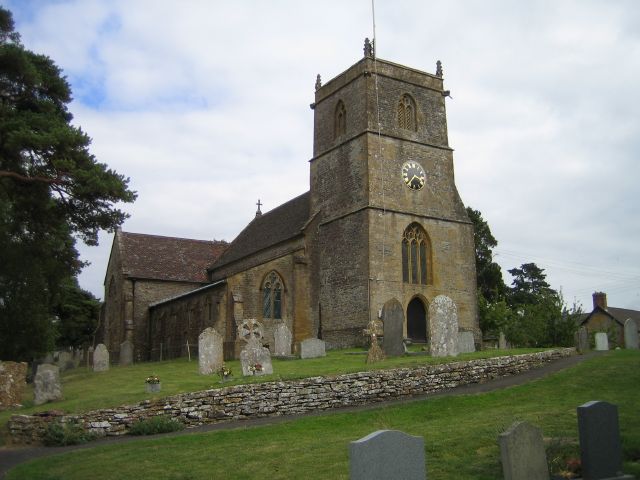
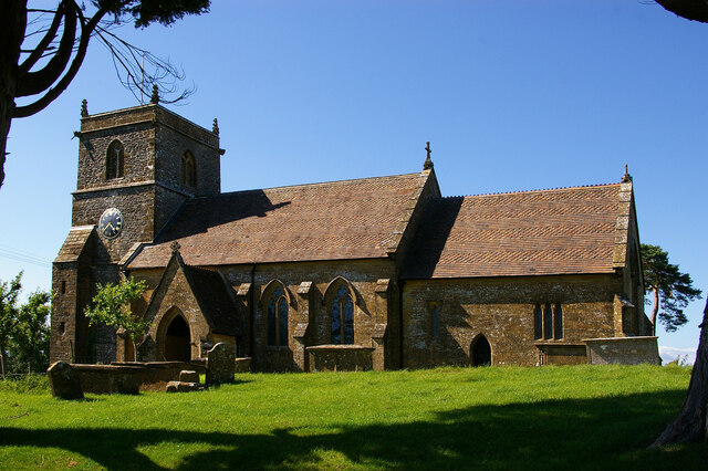
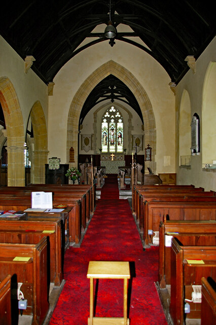
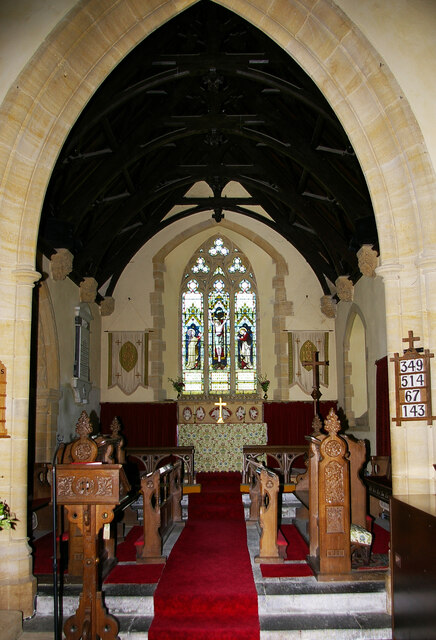
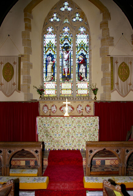
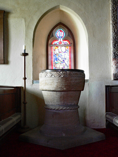
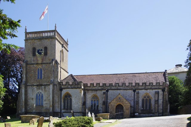
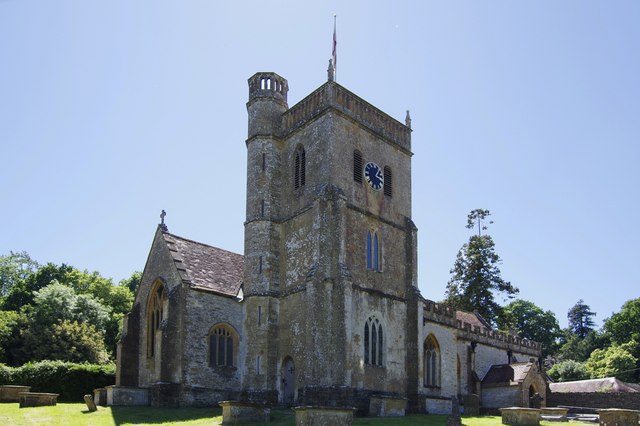
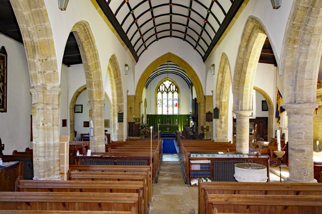
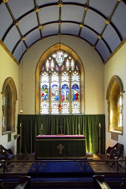
Church of St Mary, Hardington Mandeville
The Anglican Church of St Mary in Hardington Mandeville, Somerset, England was built in 1123. It is a Grade II* listed building. == History == The church...

Hardington Moor
Hardington Moor (grid reference ST515130) is an 8.7 hectare biological Site of Special Scientific Interest between Hardington Mandeville and West Coker...

Manor House, West Coker
The Manor House in West Coker, Somerset, England has medieval origins, however the earliest surviving portions of the current building probably date from...

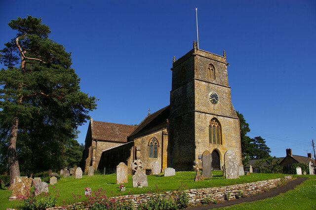
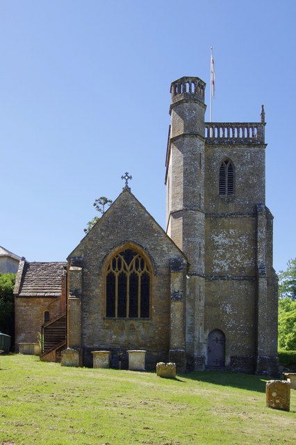
St Martin of Tours' Church, West Coker
St Martin of Tours' Church, West Coker is a Grade II* listed parish church in the Church of England in West Coker, Somerset. == History == The church dates...

West Coker
West Coker is a large village and civil parish in Somerset, England, situated 3 miles (4.8 km) south west of Yeovil in the South Somerset district. �...

Coker Court
Coker Court is a substantial manor house in East Coker, Somerset, England. It was built in the fifteenth and eighteenth centuries and has been designated...

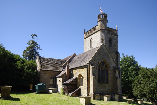
St Michael and All Angels' Church, East Coker
St Michael and All Angels’ Church is a Grade II* listed parish church in the Church of England in East Coker, Somerset. == History == The church dates...
Nearby Amenities
Located within 500m of 50.90768,-2.6803878Have you been to Oil Moor?
Leave your review of Oil Moor below (or comments, questions and feedback).