Hatherstone Wood
Wood, Forest in Somerset South Somerset
England
Hatherstone Wood
Hatherstone Wood is a picturesque woodland located in Somerset, England. Nestled in the heart of the county, it covers an area spanning approximately 150 acres. The wood is part of the larger Hatherstone Estate, which has a rich history dating back centuries.
The wood is predominantly made up of native broadleaf trees, including oak, beech, and ash, which create a diverse and vibrant ecosystem. The dense canopy provides a habitat for a wide range of wildlife, including deer, badgers, and various bird species, making it a popular spot for nature enthusiasts and birdwatchers.
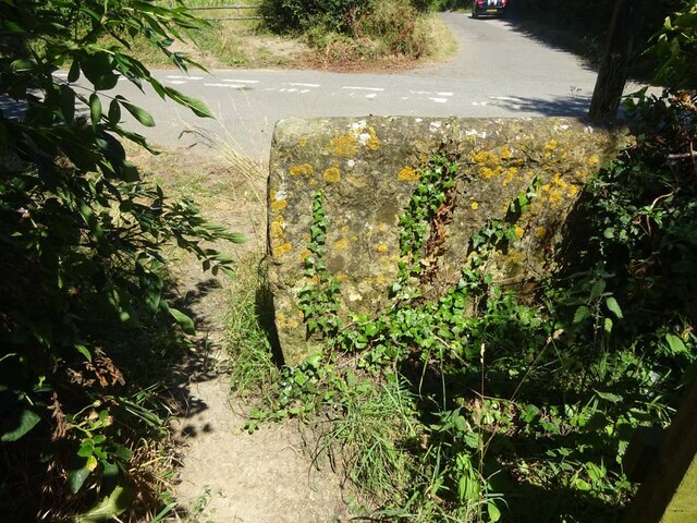
The woodland is crisscrossed with a network of well-maintained footpaths, ensuring easy access for visitors to explore its beauty. These paths wind through the undulating terrain, offering scenic views of the surrounding countryside and the nearby River Parrett.
Hatherstone Wood is a haven for outdoor enthusiasts, providing opportunities for walking, hiking, and cycling. The tranquil ambiance and the abundance of flora and fauna make it an ideal location for those wishing to escape the hustle and bustle of everyday life and reconnect with nature.
The wood also holds historical significance, with remnants of ancient earthworks and archaeological sites scattered throughout. It is believed that the area has been inhabited since prehistoric times, and artifacts from the Iron Age and Roman periods have been unearthed here.
Overall, Hatherstone Wood offers a delightful combination of natural beauty, recreational activities, and historical interest, making it a cherished destination for locals and tourists alike.
If you have any feedback on the listing, please let us know in the comments section below.
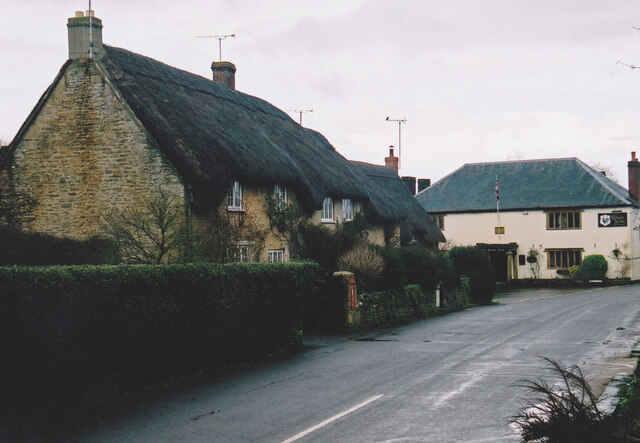
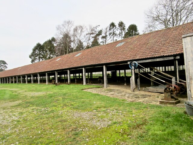
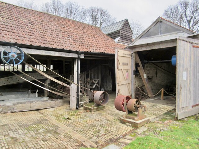
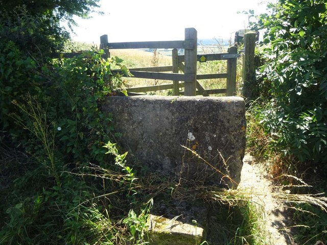
Hatherstone Wood Images
Images are sourced within 2km of 50.911791/-2.6754978 or Grid Reference ST5212. Thanks to Geograph Open Source API. All images are credited.

Hatherstone Wood is located at Grid Ref: ST5212 (Lat: 50.911791, Lng: -2.6754978)
Administrative County: Somerset
District: South Somerset
Police Authority: Avon and Somerset
What 3 Words
///deflated.sounds.number. Near West Coker, Somerset
Related Wikis

Manor House, West Coker
The Manor House in West Coker, Somerset, England has medieval origins, however the earliest surviving portions of the current building probably date from...

Hardington Moor
Hardington Moor (grid reference ST515130) is an 8.7 hectare biological Site of Special Scientific Interest between Hardington Mandeville and West Coker...

Coker Court
Coker Court is a substantial manor house in East Coker, Somerset, England. It was built in the fifteenth and eighteenth centuries and has been designated...

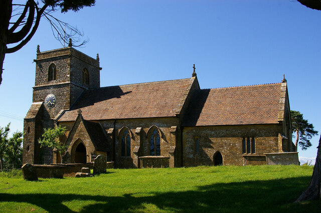
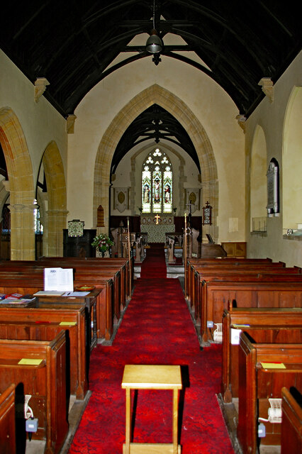
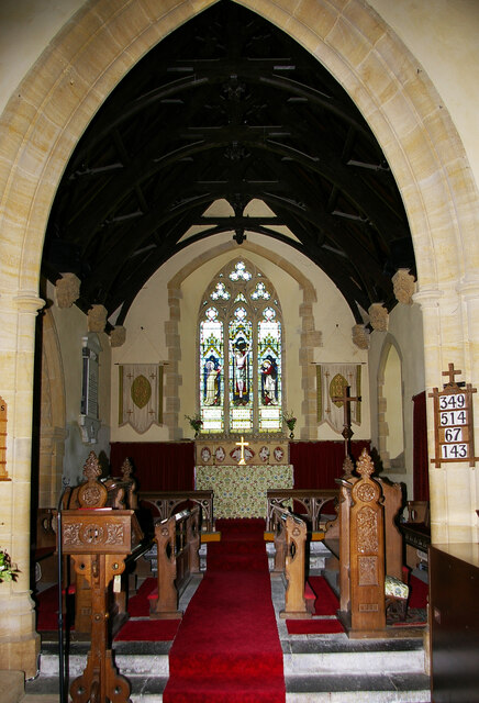
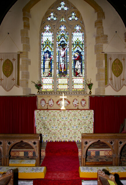
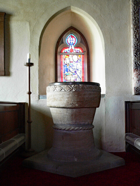
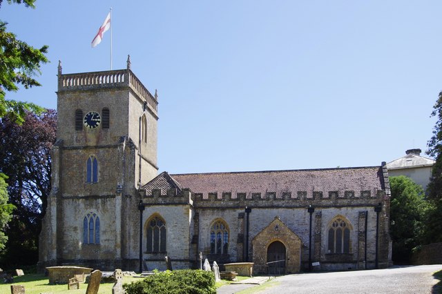
St Martin of Tours' Church, West Coker
St Martin of Tours' Church, West Coker is a Grade II* listed parish church in the Church of England in West Coker, Somerset. == History == The church dates...

Naish Priory
Naish Priory in East Coker, Somerset, England, contains portions of a substantial house dating from the mid 14th century to around 1400. Emery says the...

West Coker
West Coker is a large village and civil parish in Somerset, England, situated 3 miles (4.8 km) south west of Yeovil in the South Somerset district. �...

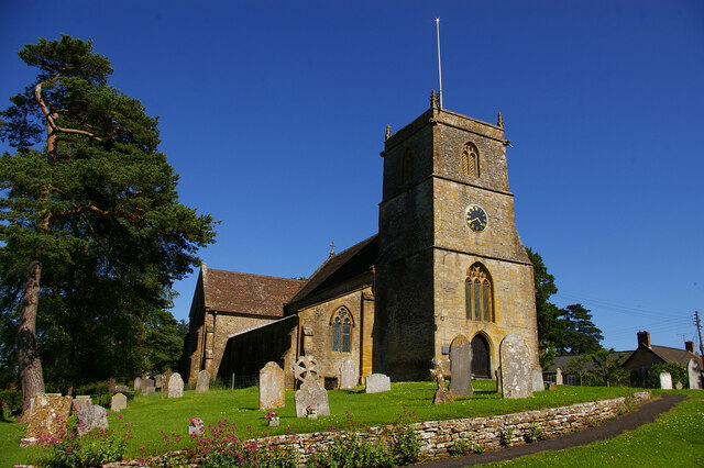
St Michael and All Angels' Church, East Coker
St Michael and All Angels’ Church is a Grade II* listed parish church in the Church of England in East Coker, Somerset. == History == The church dates...

Helyar Almshouses
The Helyar Almshouses were erected between 1640 and 1660 by William Helyar Archdeacon of Barnstable of Coker Court, East Coker, Somerset, England. The...
Nearby Amenities
Located within 500m of 50.911791,-2.6754978Have you been to Hatherstone Wood?
Leave your review of Hatherstone Wood below (or comments, questions and feedback).