Jenning's Plantation
Wood, Forest in Somerset South Somerset
England
Jenning's Plantation
Jenning's Plantation is a picturesque woodland area located in Somerset, England. It is known for its lush greenery, tall trees, and serene atmosphere, making it a popular destination for nature enthusiasts and those seeking a peaceful retreat.
Covering an expansive area, Jenning's Plantation is predominantly composed of dense forests and woodlands, showcasing a diverse range of tree species such as oak, beech, and birch. The towering trees create a captivating canopy, providing shade and shelter to the various wildlife that call this place home.
The plantation is also known for its rich biodiversity. It is home to a multitude of animal species including deer, foxes, rabbits, and a wide variety of bird species. Visitors can often spot these creatures as they explore the numerous walking trails and paths that wind through the plantation.
In addition to its natural beauty, Jenning's Plantation also offers several recreational facilities for visitors to enjoy. There are picnic areas scattered throughout the plantation, providing a perfect spot for families and friends to gather and enjoy a meal amidst the tranquil surroundings. The plantation is also equipped with well-maintained hiking trails, allowing visitors to immerse themselves in the stunning natural scenery.
Overall, Jenning's Plantation is a haven for those seeking an escape from the hustle and bustle of everyday life. Its lush forests, diverse wildlife, and well-maintained facilities make it an ideal destination for nature lovers and outdoor enthusiasts alike.
If you have any feedback on the listing, please let us know in the comments section below.
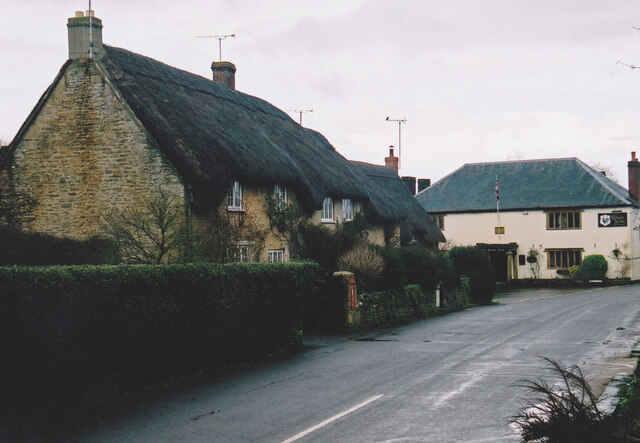
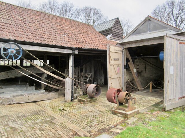
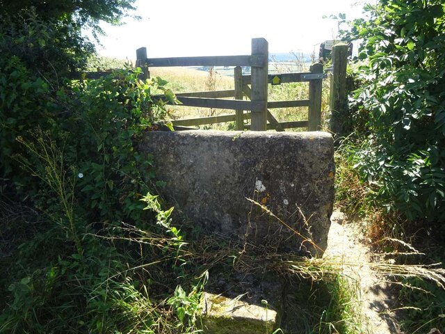
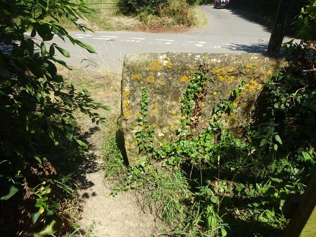
Jenning's Plantation Images
Images are sourced within 2km of 50.909684/-2.6728929 or Grid Reference ST5212. Thanks to Geograph Open Source API. All images are credited.

Jenning's Plantation is located at Grid Ref: ST5212 (Lat: 50.909684, Lng: -2.6728929)
Administrative County: Somerset
District: South Somerset
Police Authority: Avon and Somerset
What 3 Words
///cackling.navy.unhappy. Near West Coker, Somerset
Related Wikis

Coker Court
Coker Court is a substantial manor house in East Coker, Somerset, England. It was built in the fifteenth and eighteenth centuries and has been designated...

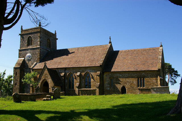
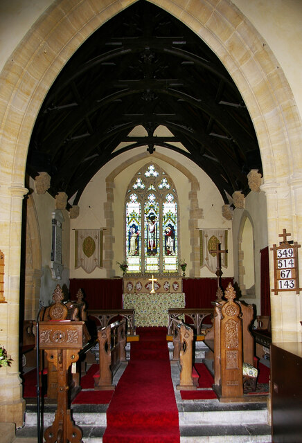
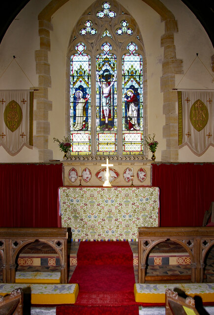
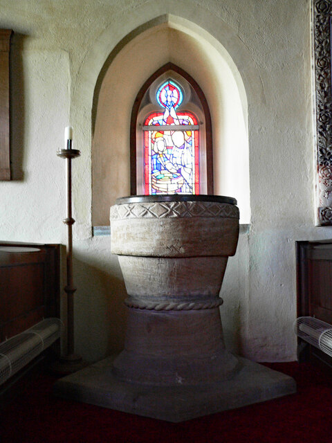
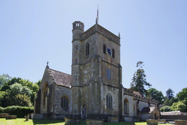
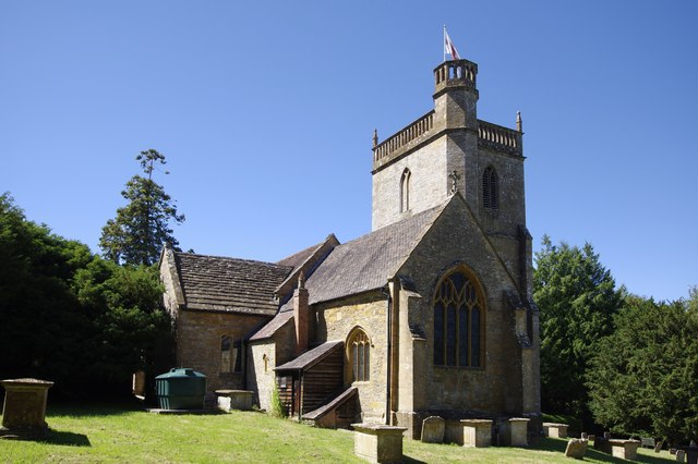
St Michael and All Angels' Church, East Coker
St Michael and All Angels’ Church is a Grade II* listed parish church in the Church of England in East Coker, Somerset. == History == The church dates...

Helyar Almshouses
The Helyar Almshouses were erected between 1640 and 1660 by William Helyar Archdeacon of Barnstable of Coker Court, East Coker, Somerset, England. The...

Manor House, West Coker
The Manor House in West Coker, Somerset, England has medieval origins, however the earliest surviving portions of the current building probably date from...

Hardington Moor
Hardington Moor (grid reference ST515130) is an 8.7 hectare biological Site of Special Scientific Interest between Hardington Mandeville and West Coker...

Naish Priory
Naish Priory in East Coker, Somerset, England, contains portions of a substantial house dating from the mid 14th century to around 1400. Emery says the...

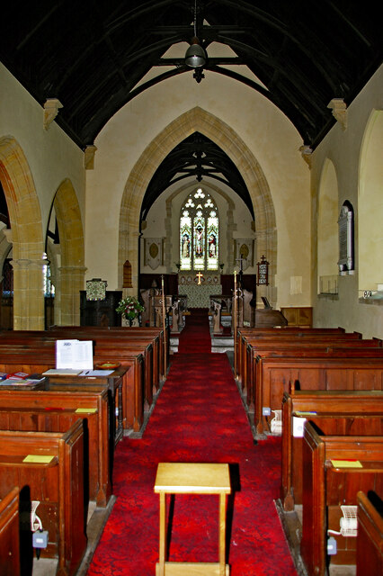
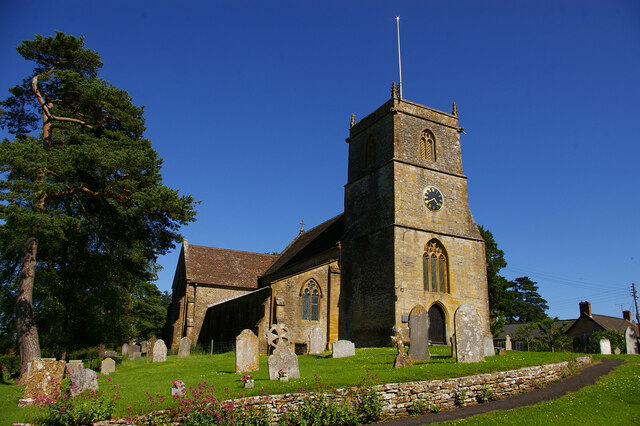
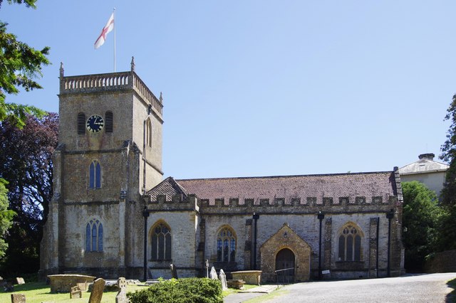
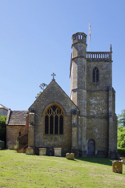
St Martin of Tours' Church, West Coker
St Martin of Tours' Church, West Coker is a Grade II* listed parish church in the Church of England in West Coker, Somerset. == History == The church dates...

Hardington Mandeville
Hardington Mandeville is a village and civil parish in Somerset, England, situated 3 miles (4.8 km) south west of Yeovil in the South Somerset district...
Nearby Amenities
Located within 500m of 50.909684,-2.6728929Have you been to Jenning's Plantation?
Leave your review of Jenning's Plantation below (or comments, questions and feedback).