Quernmore Park

Downs, Moorland in Lancashire Lancaster

England

Quernmore Park

OS Bench Mark OS cut bench mark from the 19th century levelling, on gatepost at junction of paths. 154.7 feet above old datum.
OS Bench Mark Credit: Phil Johnstone

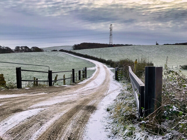
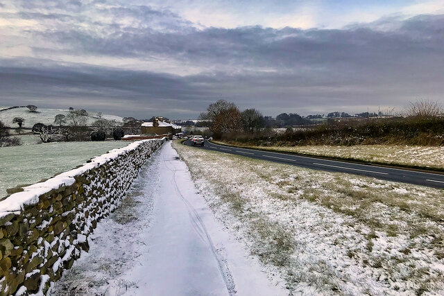
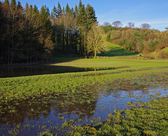
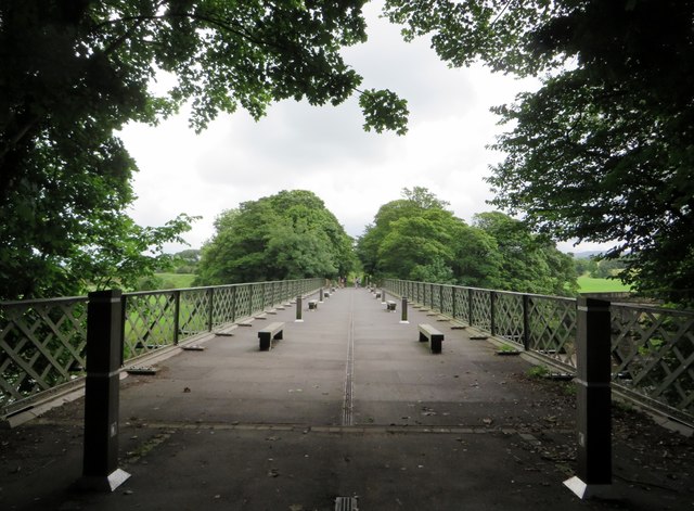
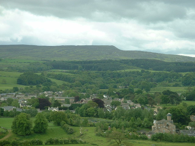
Quernmore Park, located in Lancashire, England, is a picturesque area encompassing beautiful downs and moorland. Spread across approximately 1,000 acres, it offers stunning landscapes and abundant wildlife, making it a popular destination for outdoor enthusiasts and nature lovers.

The park is characterized by its rolling hills and vast open spaces, providing visitors with breathtaking panoramic views of the surrounding countryside. The downs of Quernmore Park are covered in lush green grass, dotted with vibrant wildflowers during the summer months. These downs offer ample opportunities for walking, picnicking, and enjoying the tranquility of the countryside.

The moorland, on the other hand, adds a rugged and wild element to Quernmore Park. It is covered in heather and bracken, creating a unique and vibrant ecosystem. Moorland walks in the park allow visitors to immerse themselves in the natural beauty of the area while observing the diverse flora and fauna that call it home.

Quernmore Park is home to a variety of wildlife, including birds of prey, such as kestrels and buzzards, as well as rabbits, hares, and deer. This makes it an ideal spot for birdwatching and wildlife photography. The park also boasts several well-maintained trails, allowing visitors to explore its different areas and discover hidden gems along the way.

In conclusion, Quernmore Park in Lancashire offers a diverse and captivating landscape, with its downs and moorland providing a unique blend of beauty and wilderness. With its abundant wildlife and numerous recreational opportunities, it is a haven for nature enthusiasts and a must-visit destination for those seeking to escape the hustle and bustle of everyday life.

If you have any feedback on the listing, please let us know in the comments section below.

Quernmore Park Images

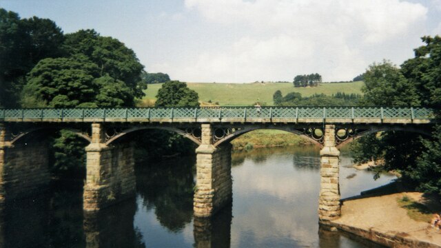
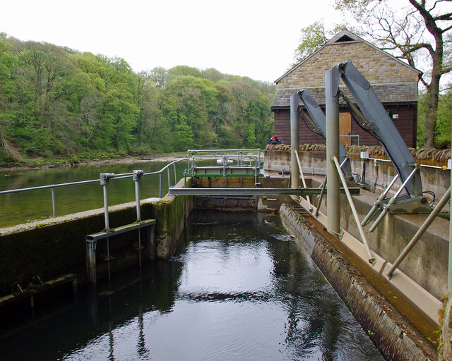
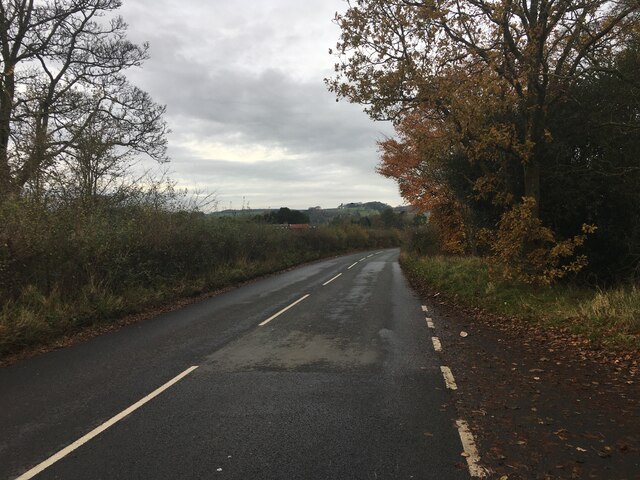
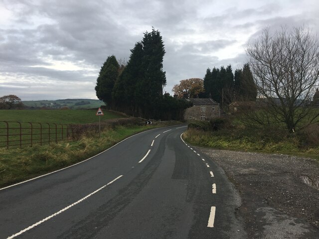
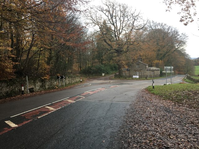
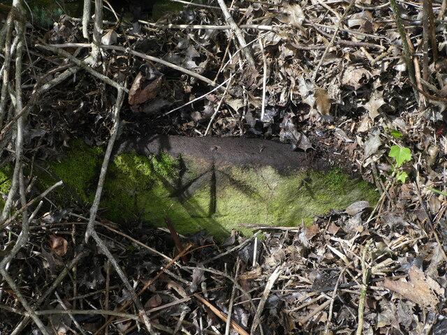
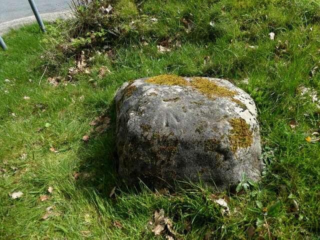
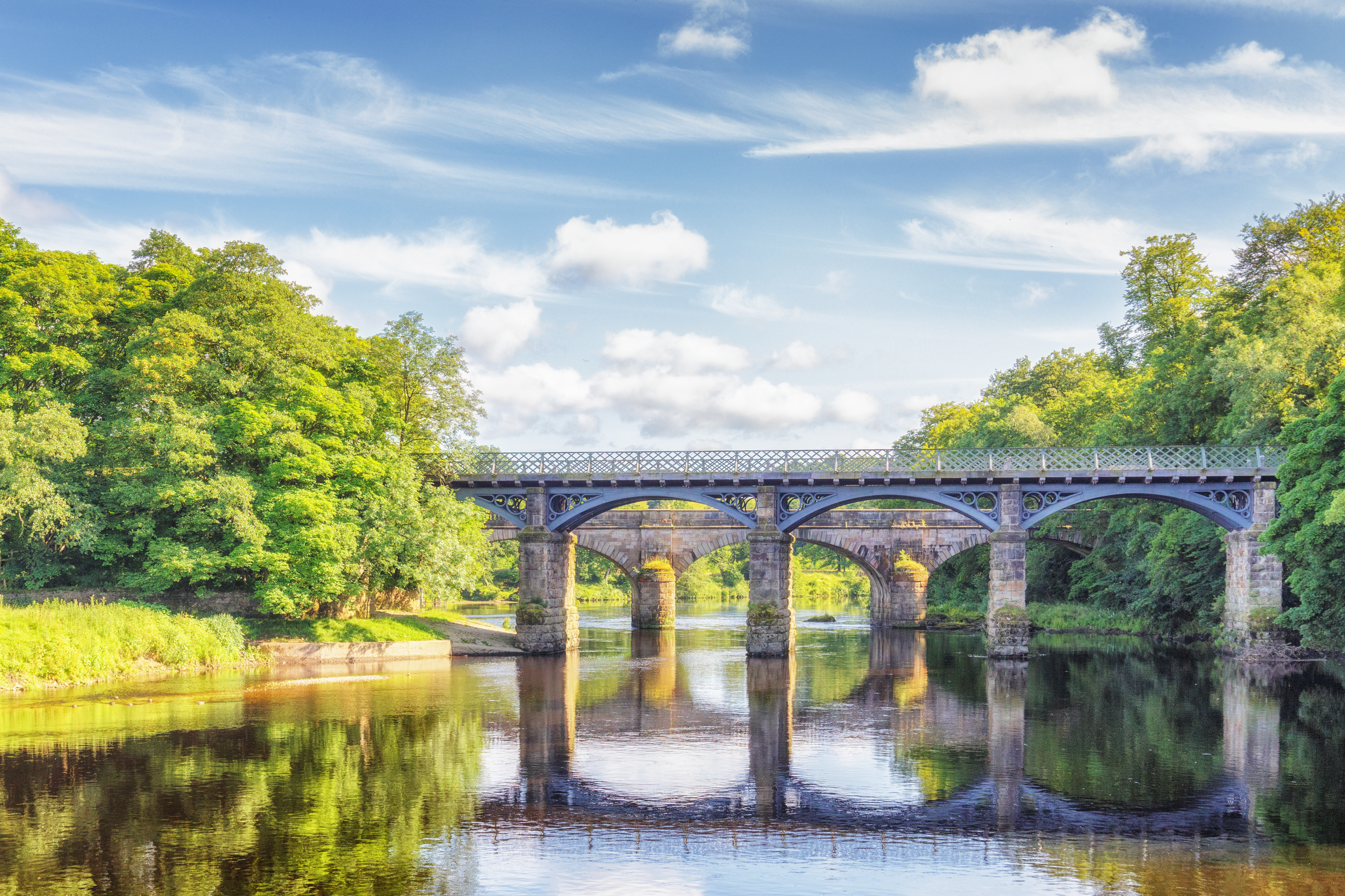
Images are sourced within 2km of 54.063447/-2.7307072 or Grid Reference SD5263. Thanks to Geograph Open Source API. All images are credited.

OS Bench Mark OS cut bench mark from the 19th century levelling, on gatepost at junction of paths. 154.7 feet above old datum.
OS Bench Mark
OS cut bench mark from the 19th century levelling, on gatepost at junction of paths. 154.7 feet above old datum.
OS Bench Mark OS cut bench mark from the 20th century levelling, on gatepost. 42.80 m above datum. Although this BM is of much later date than its near neighbour (see <a href="https://www.geograph.org.uk/photo/7024600">SD5364 : OS Bench Mark</a>), it is similarly weathered.
OS Bench Mark
OS cut bench mark from the 20th century levelling, on gatepost. 42.80 m above datum. Although this BM is of much later date than its near neighbour (see SD5364 : OS Bench Mark), it is similarly weathered.
Track towards Old Parkside Farm
A683 near Halton Looking westwards from just past the layby, about ½ mile to the east of junction 34 of the M6 motorway.
A683 near Halton
Looking westwards from just past the layby, about ½ mile to the east of junction 34 of the M6 motorway.
Eastern Railway Bridge at Crook o' Lune View from Caton Lune Bridge
Eastern Railway Bridge at Crook o' Lune
View from Caton Lune Bridge
Halton Lune Hydro Looking downstream.
The inlet screens are on the right. See <a href="https://www.geograph.org.uk/photo/5693715">SD5164 : Halton Lune Hydro</a> for more information.
Halton Lune Hydro
Looking downstream. The inlet screens are on the right. See SD5164 : Halton Lune Hydro for more information.
View upstream of the Lune from near the fishing hut, Forge Lane, Halton
Minor road towards Caton
Minor road near Deys Farm
Quernmore Road
Quernmore Road
Quernmore Road
Quernmore Road
OS Bench Mark Ordnance Survey rivet bench mark from the 19th century levelling on stone trough on west side of road. Some gardening was needed to find it. The trough itself is completed hidden. 279.2 feet above old datum.
OS Bench Mark
Ordnance Survey rivet bench mark from the 19th century levelling on stone trough on west side of road. Some gardening was needed to find it. The trough itself is completed hidden. 279.2 feet above old datum.
OS Bench Mark Ordnance Survey rivet bench mark from the 20th century levelling on boulder south of road junction. The rivet has disappeared. 90.358 m above datum. See also <a href="https://www.geograph.org.uk/photo/3928235">SD5162 : Ordnance Survey Rivet/Pivot</a>
OS Bench Mark
Ordnance Survey rivet bench mark from the 20th century levelling on boulder south of road junction. The rivet has disappeared. 90.358 m above datum. See also SD5162 : Ordnance Survey Rivet/Pivot
Flooded field near Crook o' Lune On the north side of the river, upstream of Crook o' Lune.
Flooded field near Crook o' Lune
On the north side of the river, upstream of Crook o' Lune.
Halton Mills Halton Mills alongside the River Lune.
Halton Mills
Halton Mills alongside the River Lune.
Footbridge over the River Lune The foot and bicycle path is on a dismantled railway track and is part of the Lune Valley Ramble footpath.
Footbridge over the River Lune
The foot and bicycle path is on a dismantled railway track and is part of the Lune Valley Ramble footpath.
Cycle and footbridge over the River Lune The path is built over a dismantled railway.
Cycle and footbridge over the River Lune
The path is built over a dismantled railway.
Footbridge and road bridge over the Lune The footbridge carries a foot and cycle path along a disused railway. The road bridge behind was erected under the provisions of The Lancashire Justices Act 1881 at the expense of the hundreds of North and South Lonsdale and was opened on 6th August 1883.
Footbridge and road bridge over the Lune
The footbridge carries a foot and cycle path along a disused railway. The road bridge behind was erected under the provisions of The Lancashire Justices Act 1881 at the expense of the hundreds of North and South Lonsdale and was opened on 6th August 1883.
Show me another place!

Quernmore Park is located at Grid Ref: SD5263 (Lat: 54.063447, Lng: -2.7307072)

Administrative County: Lancashire

District: Lancaster

Police Authority: Lancashire

What 3 Words

///alarming.tributes.lights. Near Caton, Lancashire

Related Wikis

Quernmore Park

Quernmore Park Hall is a grade II* listed Georgian country house which stands in a 20-acre estate in the village of Quernmore, part of the City of Lancaster...

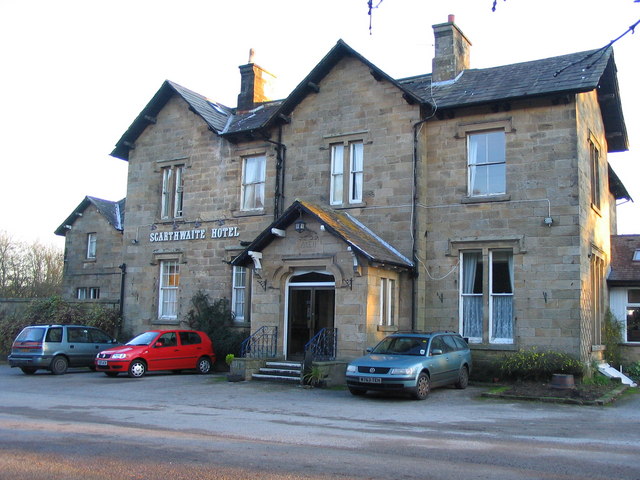
The Scarthwaite Hotel

The Scarthwaite Country House Hotel at Crook O’Lune near Caton in Lancashire is a house of historical significance. It was built in 1858 by Adam Hodgson...
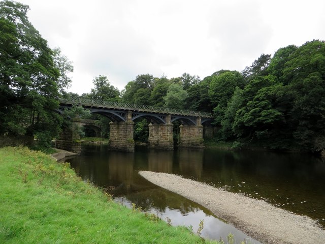
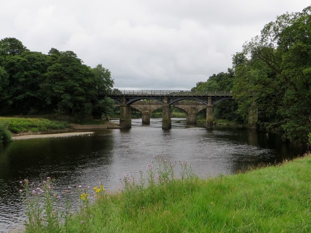
Crook o' Lune

The Crook o' Lune or Crook of Lune, about 3 mi (4.8 km) north-east of Lancaster, Lancashire, is a horseshoe bend of the River Lune, which here meanders...

Caton-with-Littledale

The civil parish of Caton-with-Littledale is situated in Lancashire, England, near the River Lune. The parish lies within the Forest of Bowland Area of...

Have you been to Quernmore Park?

Leave your review of Quernmore Park below (or comments, questions and feedback).