Hollow Moor
Downs, Moorland in Westmorland South Lakeland
England
Hollow Moor
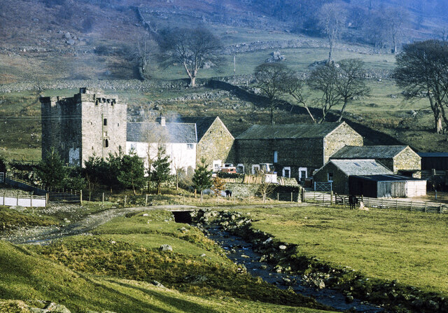
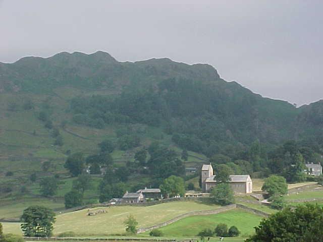
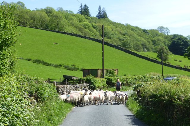
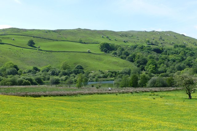
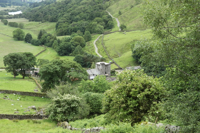
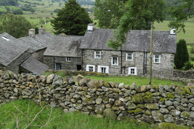
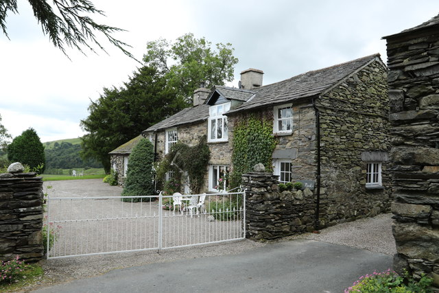
Hollow Moor, located in Westmorland, England, is a picturesque expanse of downs and moorland that stretches across an area of approximately 500 acres. Situated in the heart of the Lake District National Park, this area is renowned for its stunning natural beauty and diverse wildlife.
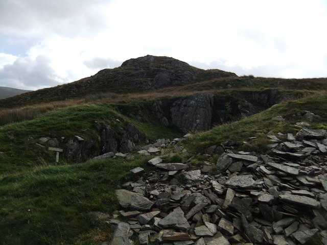
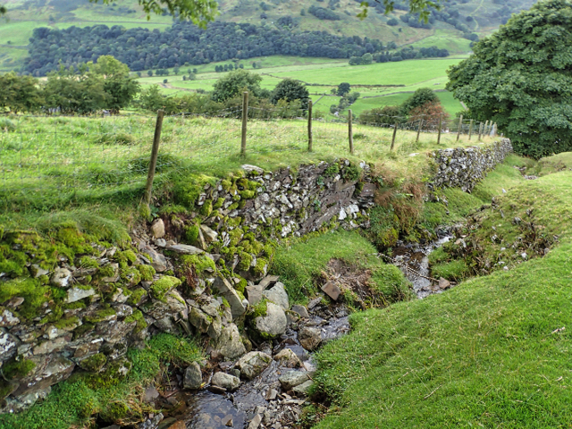
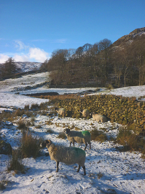
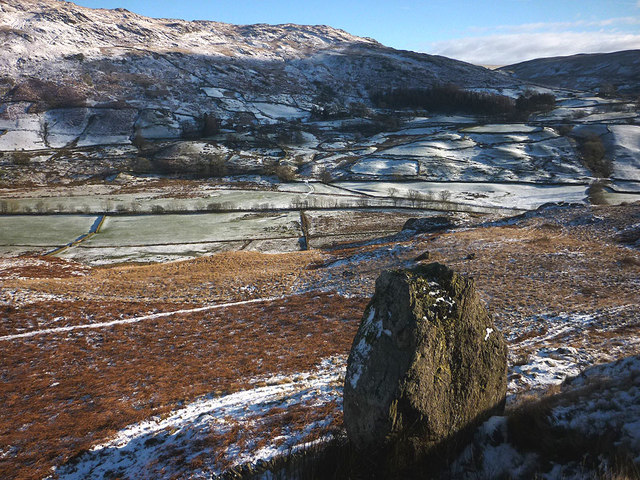
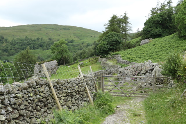
The terrain of Hollow Moor is characterized by rolling hills, vast open spaces, and scattered patches of heather and gorse. The moorland is predominantly composed of peat, which provides a unique ecosystem for various plant and animal species. Visitors to Hollow Moor can expect to encounter a wide range of flora, including cotton grass, bilberry, and purple moor grass.
This area is a haven for birdwatchers, as it is home to several species of birds, such as curlews, lapwings, and golden plovers. The moorland also attracts other wildlife, including red deer, mountain hares, and the occasional glimpse of a fox or badger.
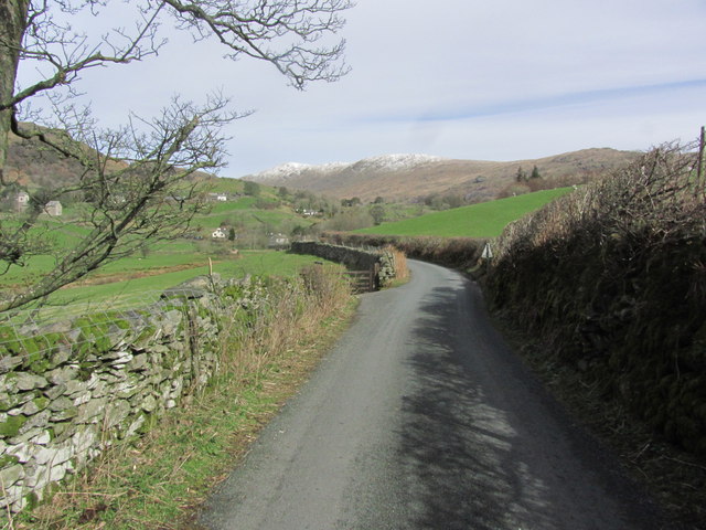
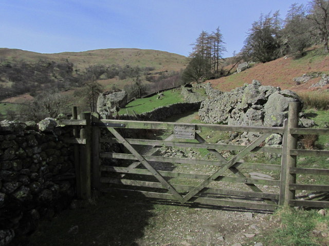
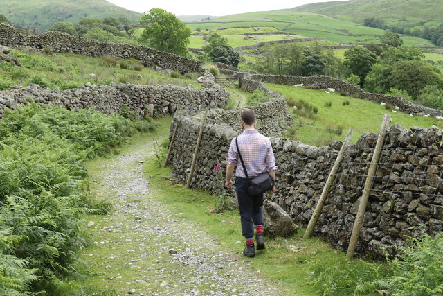
Hollow Moor offers excellent opportunities for outdoor activities and exploration. There are numerous walking trails and footpaths that crisscross the moorland, allowing visitors to immerse themselves in the tranquil surroundings. Additionally, the area is a popular spot for nature photography, with its panoramic vistas and unique flora and fauna.
For those seeking a peaceful retreat, Hollow Moor provides a serene and idyllic setting. The vastness of the moorland, coupled with its unspoiled beauty, evokes a sense of tranquility and solitude that is perfect for those looking to escape the hustle and bustle of everyday life.
If you have any feedback on the listing, please let us know in the comments section below.
Hollow Moor Images
Images are sourced within 2km of 54.428573/-2.8203209 or Grid Reference NY4603. Thanks to Geograph Open Source API. All images are credited.
Hollow Moor is located at Grid Ref: NY4603 (Lat: 54.428573, Lng: -2.8203209)
Administrative County: Cumbria
District: South Lakeland
Police Authority: Cumbria
What 3 Words
///laces.dishing.rhino. Near Staveley, Cumbria
Nearby Locations
Related Wikis

Green Quarter Fell
Green Quarter Fell is an upland area in the east of the English Lake District, near Kentmere village, Cumbria. It is the subject of a chapter of Wainwright...
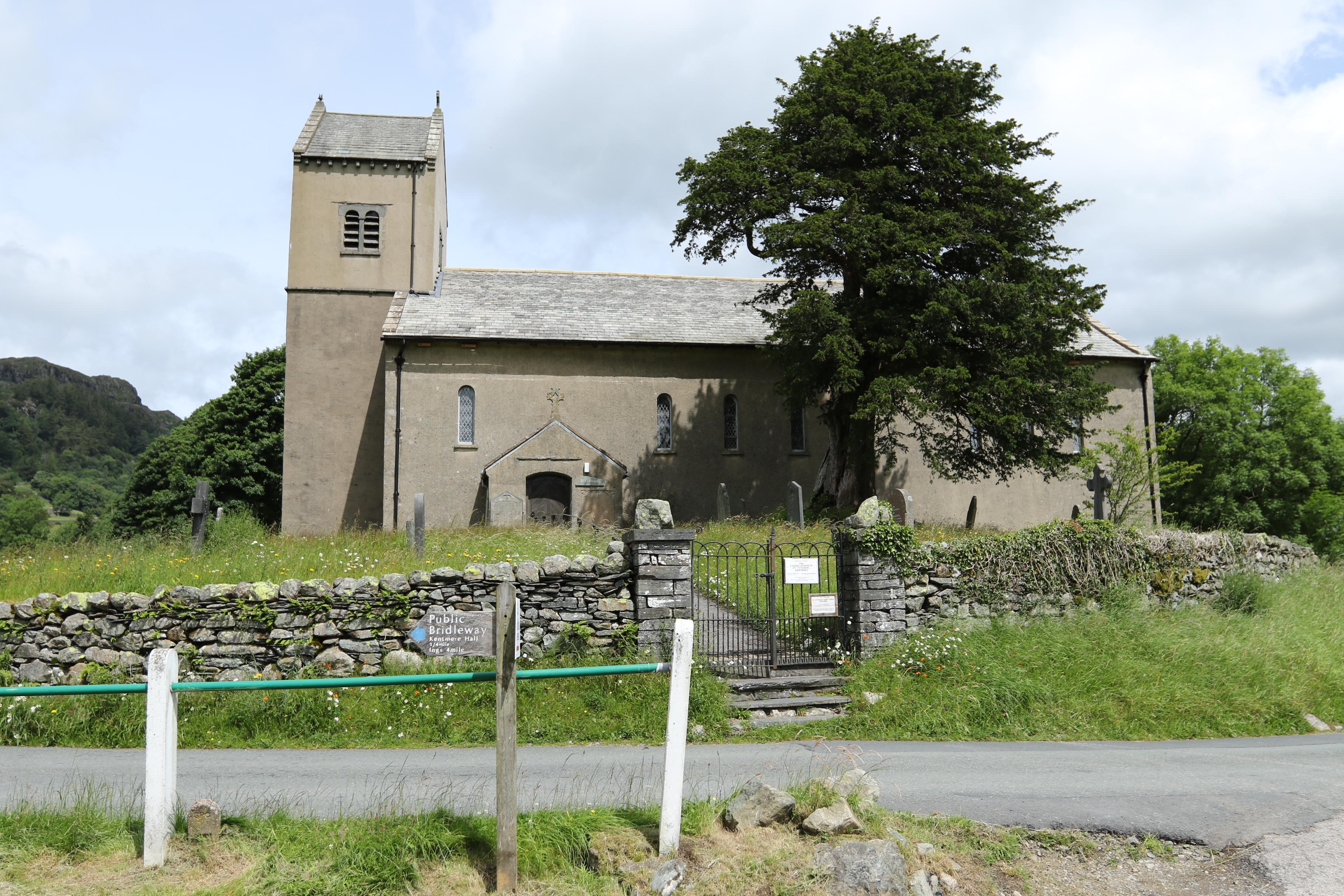
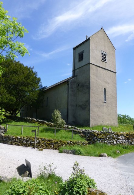
St Cuthbert's Church, Kentmere
St Cuthbert's Church, Kentmere is a Grade II listed parish church in the Church of England in Kentmere, Cumbria. Its benefice is united with that of St...

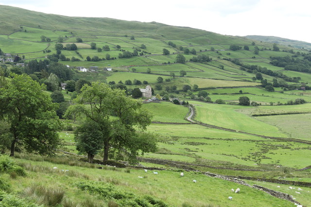
Kentmere
Kentmere is a valley, village and civil parish in the Lake District National Park, a few miles from Kendal in the Westmorland and Furness district of Cumbria...

Sadgill
Sadgill is a hamlet in Longsleddale, Cumbria, England. It is a divided settlement, also containing Low Sadgill. == References ==
Nearby Amenities
Located within 500m of 54.428573,-2.8203209Have you been to Hollow Moor?
Leave your review of Hollow Moor below (or comments, questions and feedback).