Brockley Elm

Downs, Moorland in Somerset

England

Brockley Elm

Goblin Combe Pleasant walks, a few climbable rock outcrops and a lot of trees
Goblin Combe Credit: Doug Lee

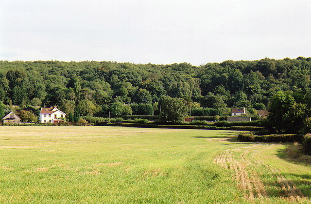
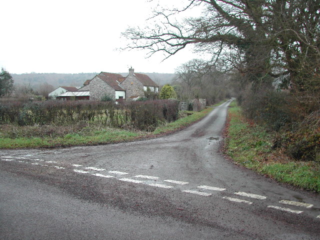
Brockley Elm is a small village located in the county of Somerset, England. Situated on the eastern edge of the Quantock Hills, it lies within the picturesque landscape of downs and moorland. The village is primarily rural, with a population of around 200 residents.

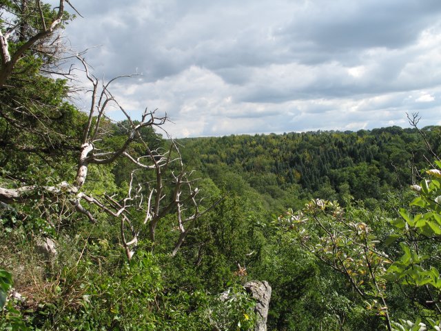
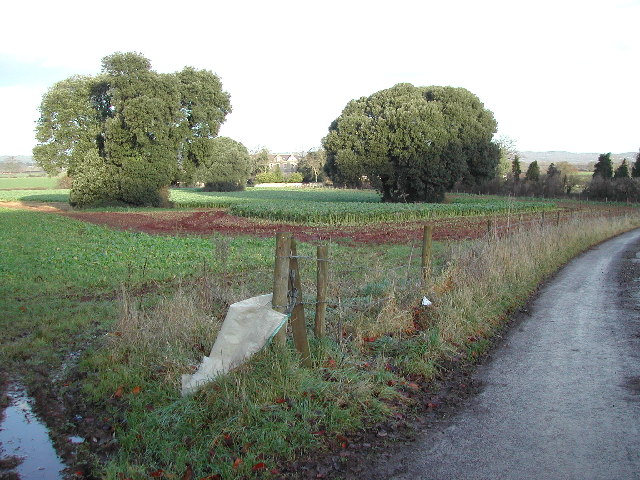
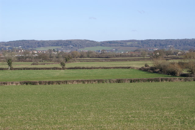
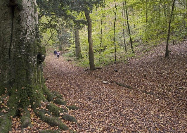
The natural surroundings of Brockley Elm are characterized by rolling hills, open grassland, and scattered woodlands. The area is rich in biodiversity, with a variety of plant and animal species inhabiting the region. The Quantock Hills, designated as an Area of Outstanding Natural Beauty, offer stunning views and opportunities for outdoor activities such as hiking, cycling, and wildlife watching.

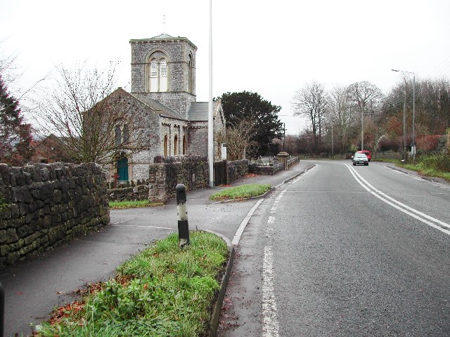
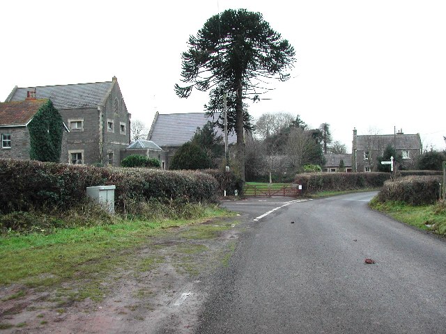
The village itself is quaint and charming, with a scattering of traditional stone cottages and farmhouses. It has a strong sense of community, with a village hall serving as a hub for social gatherings and events. The local pub, The Elm Tree Inn, is a popular spot for residents and visitors alike, offering a warm and friendly atmosphere.

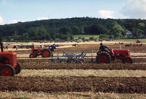
Brockley Elm is surrounded by agricultural land, with farming playing a significant role in the local economy. The fertile soil and favorable climate make it an ideal location for crop cultivation and livestock rearing.

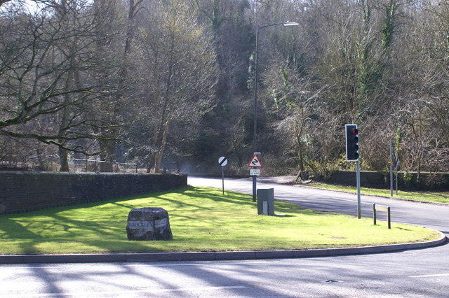
Despite its rural setting, the village benefits from good transport links, with the nearby A358 providing easy access to Taunton and the M5 motorway. This allows residents to enjoy the tranquility of country living while still being within reach of urban amenities and employment opportunities.

Overall, Brockley Elm offers a peaceful and idyllic setting, with its downs, moorland, and strong community spirit making it a desirable place to live and visit.

If you have any feedback on the listing, please let us know in the comments section below.
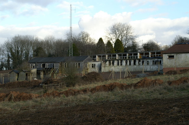
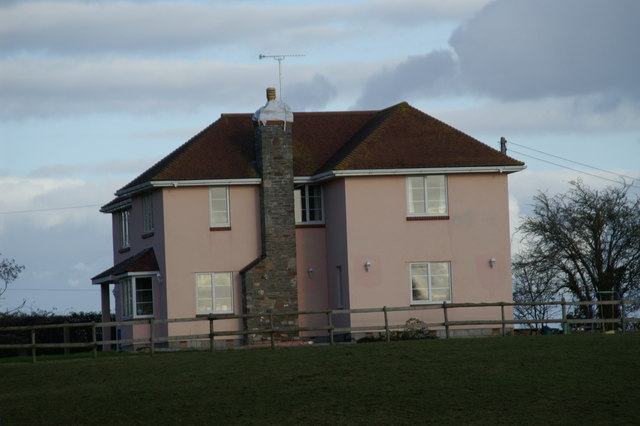
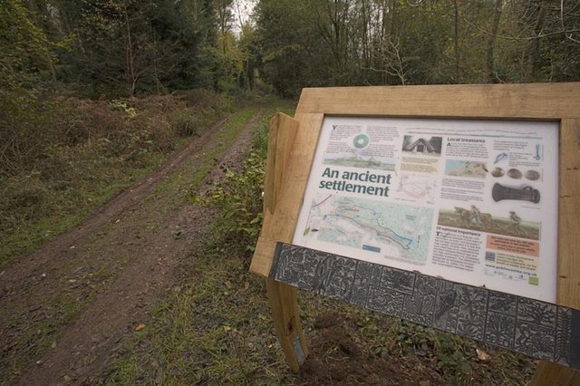
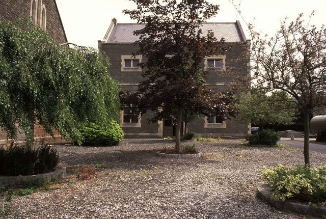
Brockley Elm Images

Images are sourced within 2km of 51.402457/-2.7659827 or Grid Reference ST4667. Thanks to Geograph Open Source API. All images are credited.

Goblin Combe Pleasant walks, a few climbable rock outcrops and a lot of trees
Goblin Combe
Pleasant walks, a few climbable rock outcrops and a lot of trees
Cleeve: south east to Cleeve Hill The A370 Bristol – Weston-super-Mare road runs left to right across the image hidden between hedges, near the houses and by the telegraph poles. Seen from Littlewood Lane, known locally as Lipsey Lane
Cleeve: south east to Cleeve Hill
The A370 Bristol – Weston-super-Mare road runs left to right across the image hidden between hedges, near the houses and by the telegraph poles. Seen from Littlewood Lane, known locally as Lipsey Lane
Brockley: ploughing match Vintage tractors in action in a field close to West Town, Backwell, and bordered by the A370 Bristol – Weston-super-Mare road. Looking south
Brockley: ploughing match
Vintage tractors in action in a field close to West Town, Backwell, and bordered by the A370 Bristol – Weston-super-Mare road. Looking south
Cleeve Church on the A370
Littlewood Lane from Brockley Way
Chelvey Water Treatment Works Looking down Chelvey Road towards the works which are on the junction with Chelvey Lane. The Bristol Water plc website can be found here <span class="nowrap"><a title="http://www.bristol-water.co.uk/" rel="nofollow ugc noopener" href="http://www.bristol-water.co.uk/">Link</a><img style="margin-left:2px;" alt="External link" title="External link - shift click to open in new window" src="https://s1.geograph.org.uk/img/external.png" width="10" height="10"/></span>
Chelvey Water Treatment Works
Looking down Chelvey Road towards the works which are on the junction with Chelvey Lane. The Bristol Water plc website can be found here LinkExternal link
Entrance sign to the Treatment Works The Bristol Water plc website can be found here <span class="nowrap"><a title="http://www.bristol-water.co.uk/" rel="nofollow ugc noopener" href="http://www.bristol-water.co.uk/">Link</a><img style="margin-left:2px;" alt="External link" title="External link - shift click to open in new window" src="https://s1.geograph.org.uk/img/external.png" width="10" height="10"/></span>
Entrance sign to the Treatment Works
The Bristol Water plc website can be found here LinkExternal link
Towards Brockley Court Home Viewed from the A370 looking North along St. Nicholas Way.
Towards Brockley Court Home
Viewed from the A370 looking North along St. Nicholas Way.
Chelvey, St Bridget's Church
Brockley, St Nicholas Church Straddles the line across two squares but according to the Churches Conservation Trust GR is ST 466670- see <span class="nowrap"><a title="http://www.visitchurches.org.uk/text-only/GazatteerChurch.asp?ChurchID=g_268" rel="nofollow ugc noopener" href="http://www.visitchurches.org.uk/text-only/GazatteerChurch.asp?ChurchID=g_268">Link</a><img style="margin-left:2px;" alt="External link" title="External link - shift click to open in new window" src="https://s1.geograph.org.uk/img/external.png" width="10" height="10"/></span>
Brockley, St Nicholas Church
Straddles the line across two squares but according to the Churches Conservation Trust GR is ST 466670- see LinkExternal link
Brockley Combe Entrance Start of Brockley Combe from the A370 end.
Brockley Combe Entrance
Start of Brockley Combe from the A370 end.
Old Buildings And Mast. On Backwell Hill
Old Buildings And Mast.
On Backwell Hill
Cleeve Toot hill fort This is the information board for Cleeve Toot, a late Bronze Age or early Iron Age hill fort close to Bristol. The site has not yet been excavated, and it now in dense woodland at the edge of Cleeve Wood.
Cleeve Toot hill fort
This is the information board for Cleeve Toot, a late Bronze Age or early Iron Age hill fort close to Bristol. The site has not yet been excavated, and it now in dense woodland at the edge of Cleeve Wood.
Cleeve Wood Woodland walk through Cleeve Wood, which contains various bronze and iron age sites.
Cleeve Wood
Woodland walk through Cleeve Wood, which contains various bronze and iron age sites.
Chelvey Waterworks steam pumping engine Built by Lilleshall and pretty much the same as the one at Langford (Museum of Power). This has been dismantled and is believed to be still in pieces in the building waiting possible shipment for preservation abroad.
Chelvey Waterworks steam pumping engine
Built by Lilleshall and pretty much the same as the one at Langford (Museum of Power). This has been dismantled and is believed to be still in pieces in the building waiting possible shipment for preservation abroad.
Chelvey Waterworks
Chelvey Waterworks
Show me another place!

Brockley Elm is located at Grid Ref: ST4667 (Lat: 51.402457, Lng: -2.7659827)

Unitary Authority: North Somerset

Police Authority: Avon and Somerset

What 3 Words

///blanking.incoming.resurgent. Near Brockley, Somerset

Related Wikis

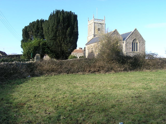
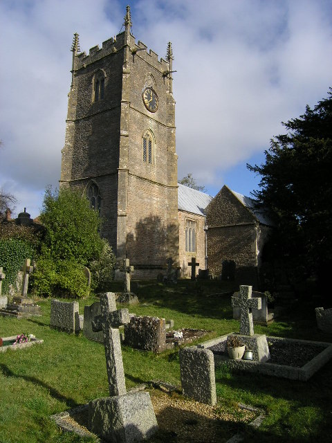
St Nicholas' Church, Brockley

St Nicholas' Church in Brockley, Somerset, England dates from the 12th century, and is recorded in the National Heritage List for England as a designated...

Brockley Hall Stables

Brockley Hall Stables (grid reference ST471669) is a 0.065 hectare biological Site of Special Scientific Interest near the village of Brockley, North Somerset...

Brockley, Somerset

Brockley is a village and civil parish in Somerset, England. The parish is within the unitary authority of North Somerset, about 3 miles (4.8 km) south...

Chelvey Court

Chelvey Court in the village of Chelvey near Brockley in the English county of Somerset was a large manor house built between 1618 and 1660 for Edward...

Nearby Amenities

Located within 500m of 51.402457,-2.7659827
Brockley Court
Place: hamlet
Source: npe
Lat/Long: 51.3994165/-2.7687801
Brand: National Grid
Brand Wikidata: Q1465461
Material: wood
Operator: National Grid Electricity Distribution Plc
Operator Old: Western Power Distribution
Operator Wikidata: Q7988183
Owner: National Grid Electricity Distribution (South West) Plc
Owner Wikidata: Q114397866
Power: pole
Lat/Long: 51.4017788/-2.7729401
Brand: National Grid
Brand Wikidata: Q1465461
Material: wood
Operator: National Grid Electricity Distribution Plc
Operator Old: Western Power Distribution
Operator Wikidata: Q7988183
Owner: National Grid Electricity Distribution (South West) Plc
Owner Wikidata: Q114397866
Power: pole
Lat/Long: 51.4011245/-2.7725412
Brand: National Grid
Brand Wikidata: Q1465461
Material: wood
Operator: National Grid Electricity Distribution Plc
Operator Old: Western Power Distribution
Operator Wikidata: Q7988183
Owner: National Grid Electricity Distribution (South West) Plc
Owner Wikidata: Q114397866
Power: pole
Lat/Long: 51.4022364/-2.7710699
Brand: National Grid
Brand Wikidata: Q1465461
Material: wood
Operator: National Grid Electricity Distribution Plc
Operator Old: Western Power Distribution
Operator Wikidata: Q7988183
Owner: National Grid Electricity Distribution (South West) Plc
Owner Wikidata: Q114397866
Power: pole
Lat/Long: 51.4021146/-2.7692104
Brand: National Grid
Brand Wikidata: Q1465461
Material: wood
Operator: National Grid Electricity Distribution Plc
Operator Old: Western Power Distribution
Operator Wikidata: Q7988183
Owner: National Grid Electricity Distribution (South West) Plc
Owner Wikidata: Q114397866
Power: pole
Lat/Long: 51.4019634/-2.7674217
Brand: National Grid
Brand Wikidata: Q1465461
Material: wood
Operator: National Grid Electricity Distribution Plc
Operator Old: Western Power Distribution
Operator Wikidata: Q7988183
Owner: National Grid Electricity Distribution (South West) Plc
Owner Wikidata: Q114397866
Power: pole
Lat/Long: 51.4013867/-2.7677413
Brand: National Grid
Brand Wikidata: Q1465461
Material: wood
Operator: National Grid Electricity Distribution Plc
Operator Old: Western Power Distribution
Operator Wikidata: Q7988183
Owner: National Grid Electricity Distribution (South West) Plc
Owner Wikidata: Q114397866
Power: pole
Lat/Long: 51.4018109/-2.7654893
Brand: National Grid
Brand Wikidata: Q1465461
Material: wood
Operator: National Grid Electricity Distribution Plc
Operator Old: Western Power Distribution
Operator Wikidata: Q7988183
Owner: National Grid Electricity Distribution (South West) Plc
Owner Wikidata: Q114397866
Power: pole
Substation: transformer
Lat/Long: 51.4018457/-2.7644813
Format: post and cap
Historic: milestone
Inscription: SCC;Chelvey;Nailsea;Claverham 2;Yatton 3 1/2;Somerset
Lat/Long: 51.4028835/-2.7646237
The data included in this document is from www.openstreetmap.org. The data is made available under ODbL.

Have you been to Brockley Elm?

Leave your review of Brockley Elm below (or comments, questions and feedback).