Barton Park
Downs, Moorland in Westmorland Eden
England
Barton Park
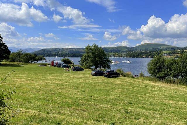
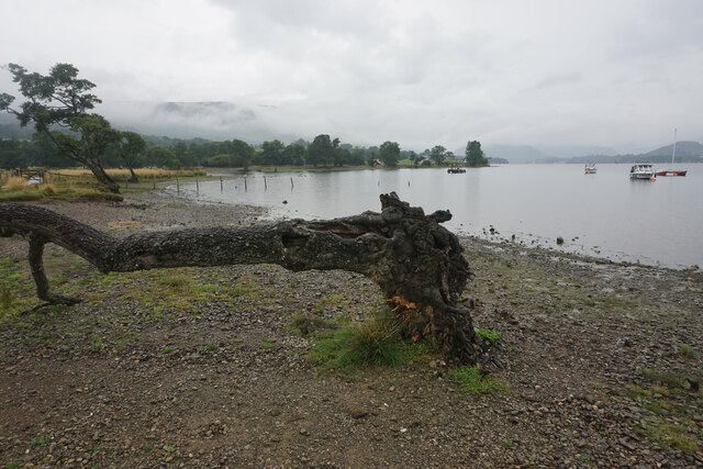
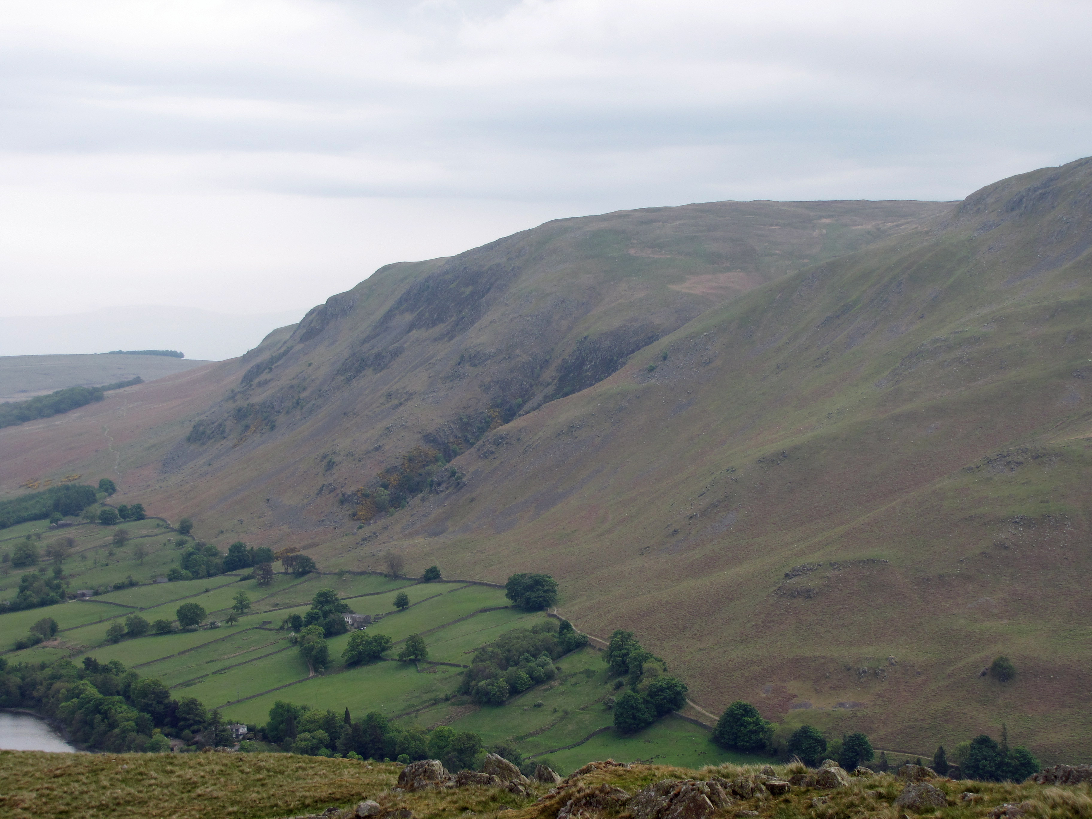
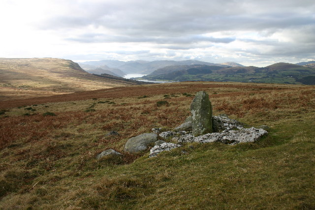
Barton Park is a picturesque landscape located in Westmorland, a county in the North West of England. Situated amidst the rolling hills of the Downs and Moorland, this park offers a tranquil retreat for nature enthusiasts and outdoor enthusiasts alike.
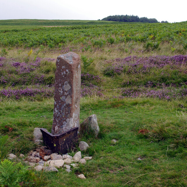
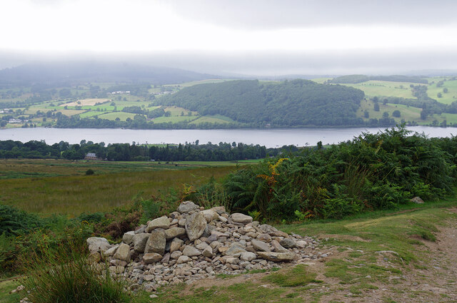
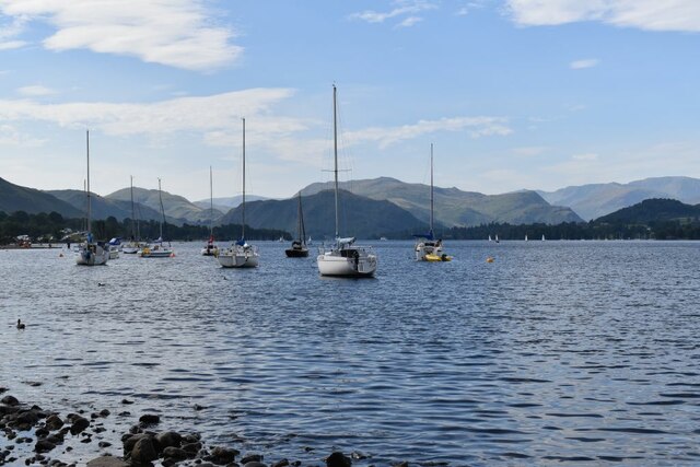
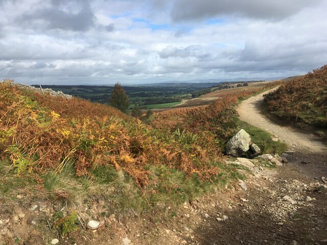
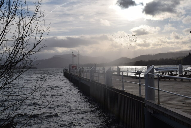
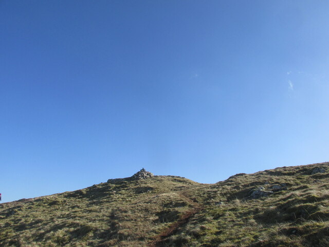
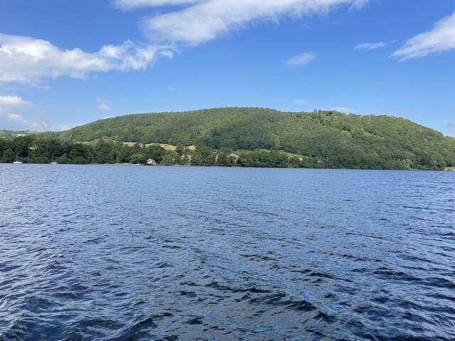
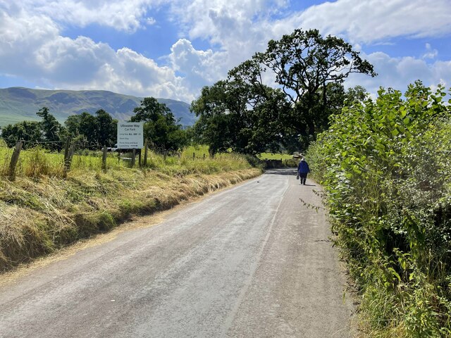
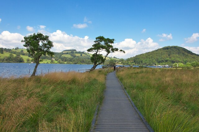
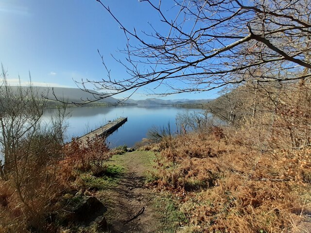
Covering an expansive area of land, Barton Park is renowned for its breathtaking scenery and diverse wildlife. Visitors can explore the park's vast network of walking trails that wind through lush meadows, dense woodlands, and fragrant heathlands. The park is also home to several ponds and streams, adding to its natural charm.
Nature lovers will have the opportunity to spot a wide variety of flora and fauna within the park's boundaries. The woodlands are filled with towering oak and beech trees, while colorful wildflowers carpet the meadows during the spring and summer months. Birdwatchers can observe a multitude of species, including red kites, buzzards, and even the elusive peregrine falcon.
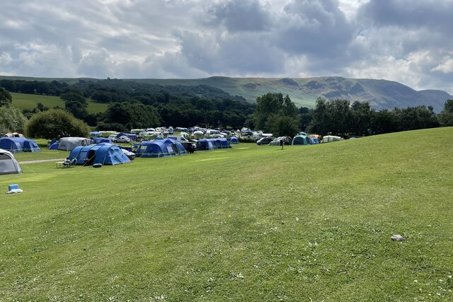
For those seeking a more active experience, Barton Park offers numerous recreational activities. The park features designated areas for picnicking, making it an ideal spot for families and friends to enjoy a leisurely lunch surrounded by nature. Additionally, the park provides cycling trails, allowing cyclists to explore its scenic beauty at their own pace.
Barton Park is also committed to conservation and education. The park hosts regular events and workshops to promote environmental awareness and offer visitors a chance to learn about the rich biodiversity of the area.
In conclusion, Barton Park in Westmorland is a stunning natural haven that offers a range of activities and breathtaking scenery. It is an ideal destination for those looking to immerse themselves in the beauty of the Downs and Moorland region.
If you have any feedback on the listing, please let us know in the comments section below.
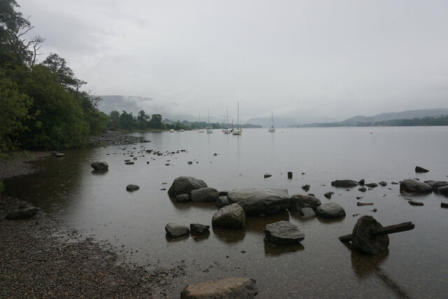
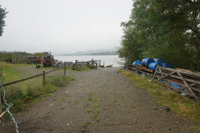
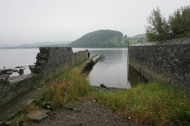
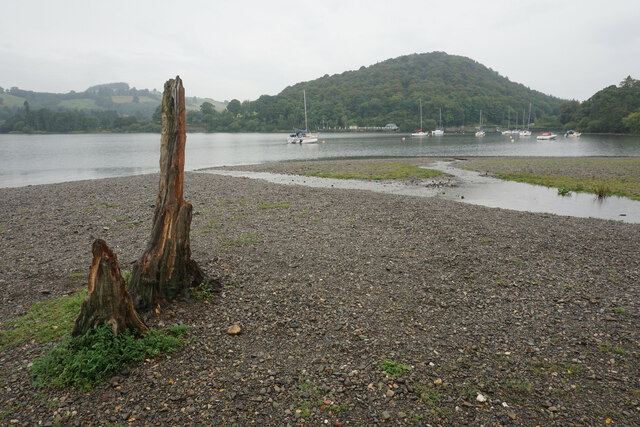
Barton Park Images
Images are sourced within 2km of 54.592918/-2.8248595 or Grid Reference NY4622. Thanks to Geograph Open Source API. All images are credited.

Barton Park is located at Grid Ref: NY4622 (Lat: 54.592918, Lng: -2.8248595)
Administrative County: Cumbria
District: Eden
Police Authority: Cumbria
What 3 Words
///clicker.helm.nights. Near Penrith, Cumbria
Nearby Locations
Related Wikis

Sharrow Bay Country House
Sharrow Bay Country House was a hotel and restaurant located on the eastern shore of Ullswater near Pooley Bridge, Cumbria, England. The hotel is associated...

Barton and Pooley Bridge
Barton and Pooley Bridge is a civil parish in Eden District, Cumbria, England. The parish is on the edge of the Lake District National Park, and had a...
Arthur's Pike
Arthur's Pike is a fell in the English Lake District, near Ullswater. It is a subsidiary top on the ridge falling north from Loadpot Hill in the Far Eastern...
Ullswater Way
The Ullswater Way is a 20-mile (32 km) waymarked walking route around Ullswater in the English Lake District. It was created by a partnership which included...

Pooley Bridge
Pooley Bridge is a village in the Eden District of the northwestern English county of Cumbria, within the traditional borders of Westmorland. The village...
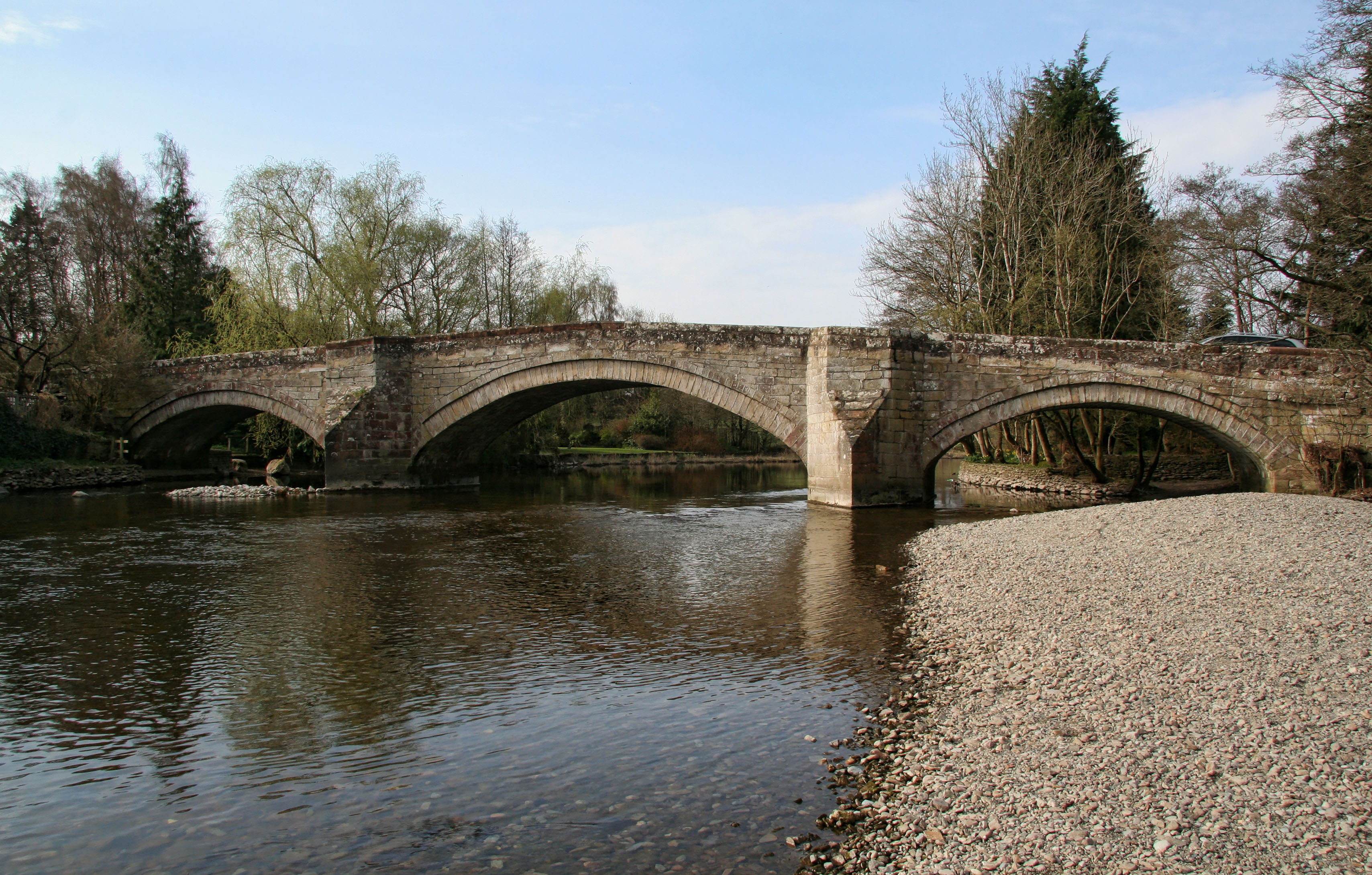
Pooley Bridge (structure)
Pooley Bridge was an historic stone road bridge that crossed the River Eamont in the village of Pooley Bridge near the northern end of Ullswater. It connected...
Watermillock
Watermillock is a village and former civil parish, now in the parish of Matterdale, in the Westmorland and Furness district, in the ceremonial county of...
Heughscar Hill
Heughscar Hill is a hill in the east of the English Lake District, east of Ullswater and north of High Street, Cumbria. It is the subject of a chapter...
Nearby Amenities
Located within 500m of 54.592918,-2.8248595Have you been to Barton Park?
Leave your review of Barton Park below (or comments, questions and feedback).