Broom Hill
Hill, Mountain in Westmorland Eden
England
Broom Hill
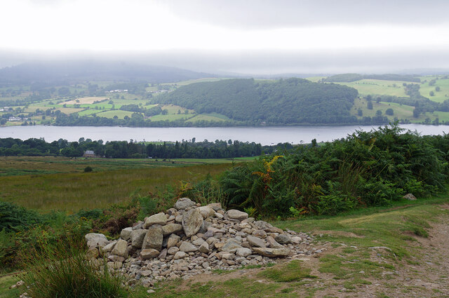
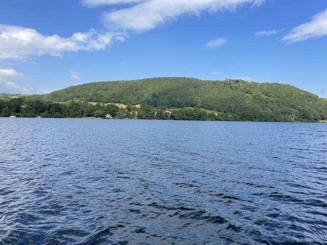
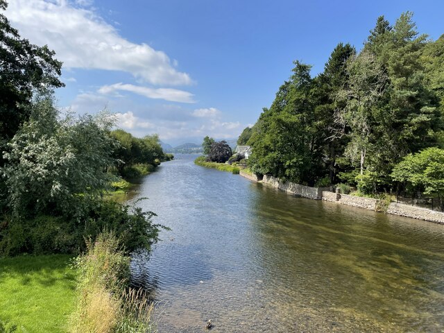
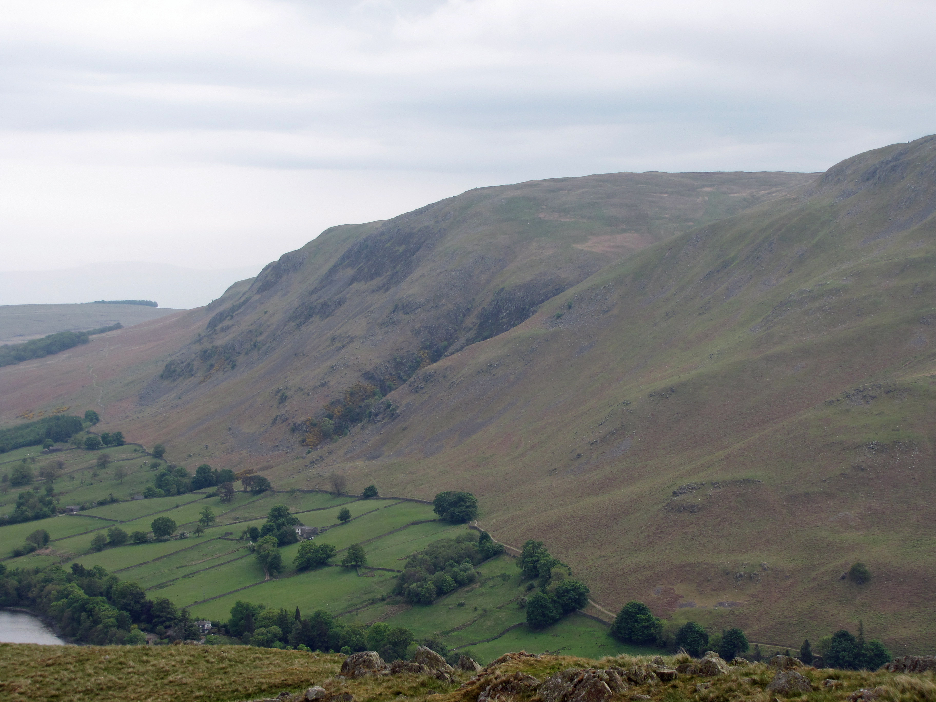
Broom Hill is a prominent hill located in the county of Westmorland, England. It is part of the larger Cumbria region and lies within the Lake District National Park. Rising to an elevation of approximately 366 meters (1,200 feet), Broom Hill offers breathtaking views of the surrounding countryside.
The hill is characterized by its distinctive conical shape, covered in lush greenery and dotted with rocky outcrops. It is predominantly composed of sedimentary rocks, including sandstone and limestone, which give it a unique geological profile.
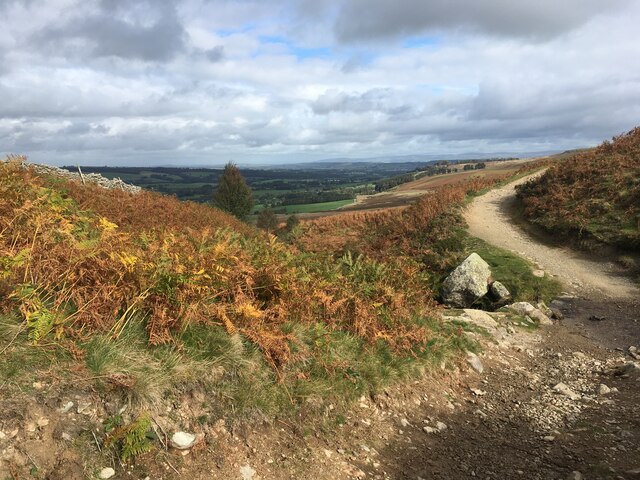
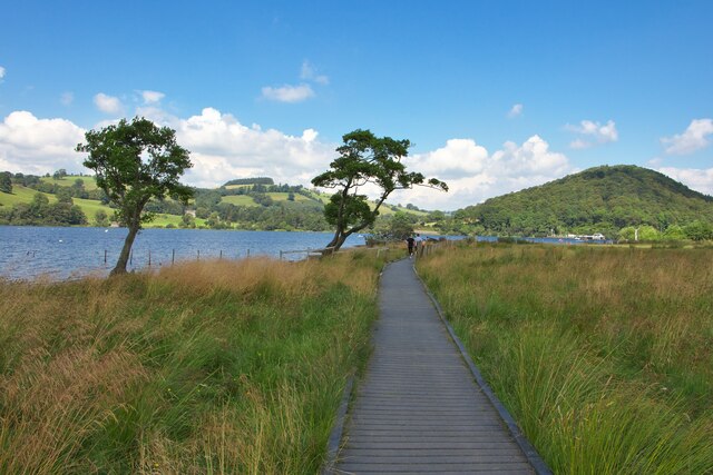
Broom Hill is a popular destination for outdoor enthusiasts, hikers, and nature lovers alike. Its location within the Lake District National Park provides access to a variety of trails and footpaths that wind through the picturesque landscape. Many visitors choose to hike to the summit of Broom Hill to enjoy the panoramic vistas it offers, which include sweeping views of the surrounding valleys, lakes, and mountains.
The hill is also home to a diverse range of flora and fauna, with an abundance of wildflowers, heather, and grasses covering its slopes. It provides a habitat for various bird species, including buzzards, kestrels, and ravens, which can often be spotted soaring above.
Broom Hill is easily accessible, with several public footpaths leading to its summit. Its proximity to nearby villages and towns, such as Kendal and Windermere, makes it a popular destination for day trips and outdoor activities. Whether it's for a leisurely stroll or a challenging hike, Broom Hill offers visitors a chance to immerse themselves in the natural beauty of the Lake District.
If you have any feedback on the listing, please let us know in the comments section below.
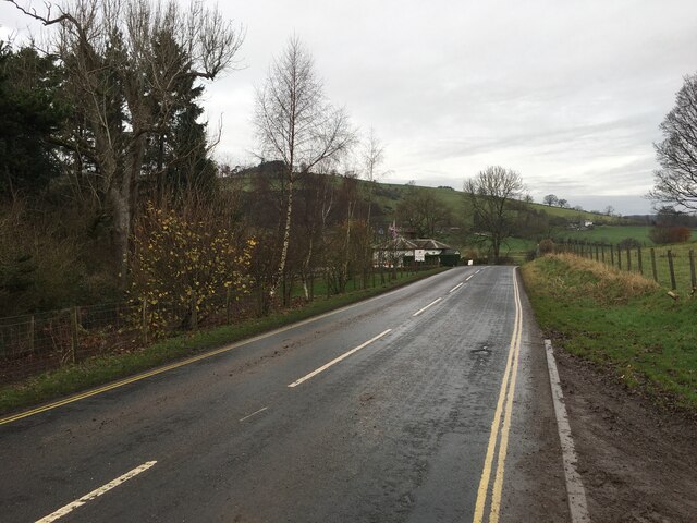
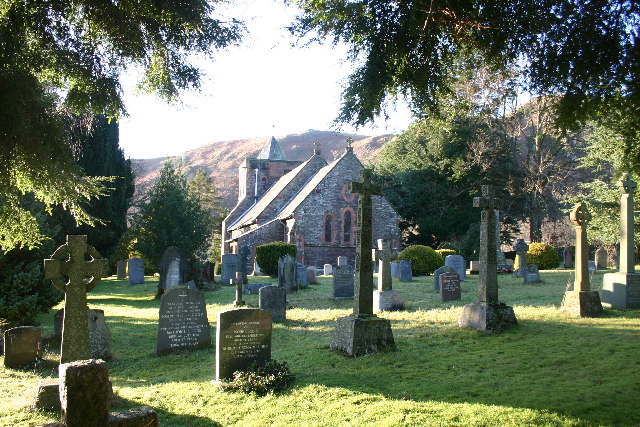
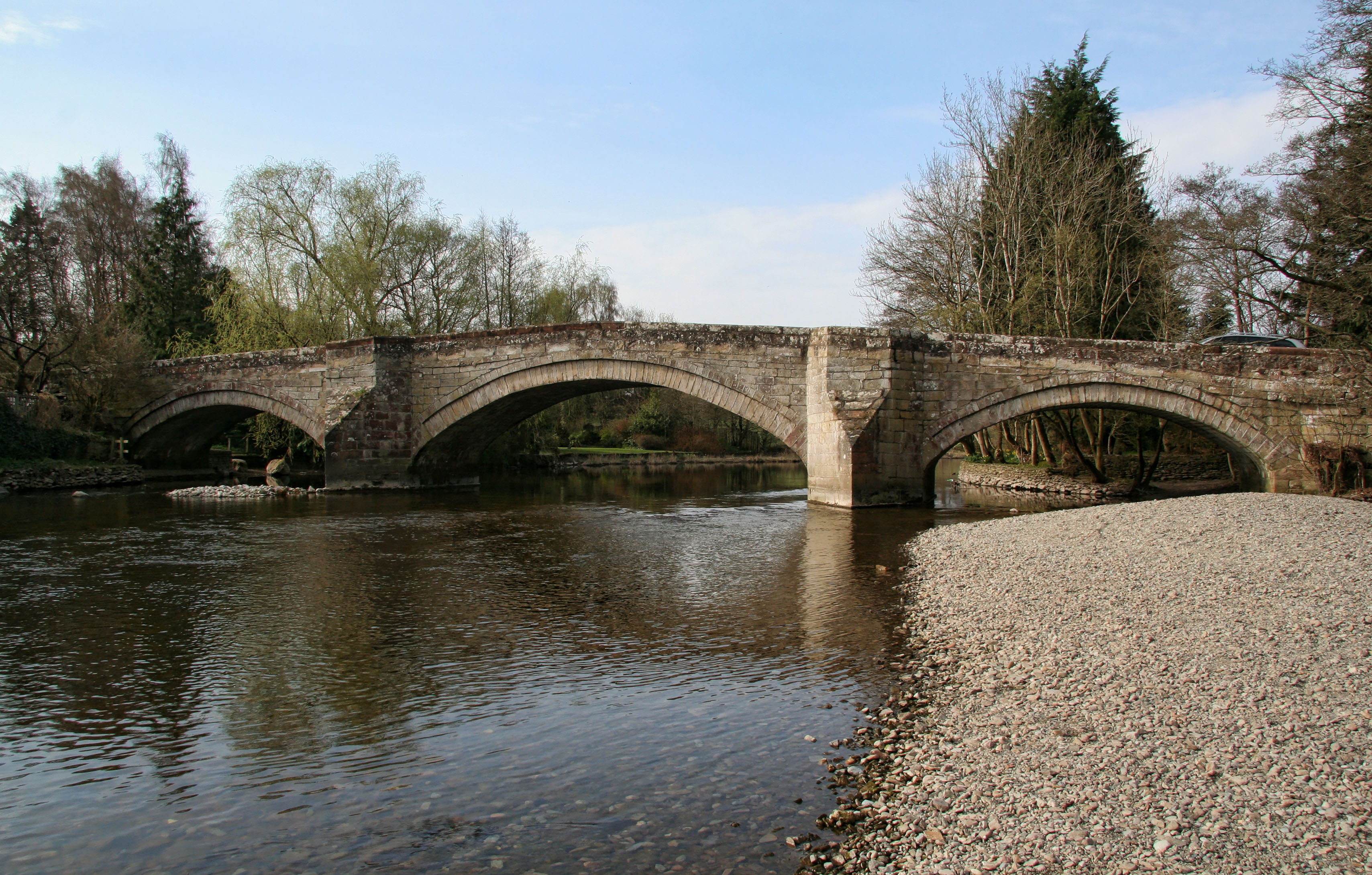
Broom Hill Images
Images are sourced within 2km of 54.596881/-2.8315023 or Grid Reference NY4622. Thanks to Geograph Open Source API. All images are credited.

Broom Hill is located at Grid Ref: NY4622 (Lat: 54.596881, Lng: -2.8315023)
Administrative County: Cumbria
District: Eden
Police Authority: Cumbria
What 3 Words
///needed.rooms.ooze. Near Penrith, Cumbria
Nearby Locations
Related Wikis

Sharrow Bay Country House
Sharrow Bay Country House was a hotel and restaurant located on the eastern shore of Ullswater near Pooley Bridge, Cumbria, England. The hotel is associated...

Barton and Pooley Bridge
Barton and Pooley Bridge is a civil parish in Eden District, Cumbria, England. The parish is on the edge of the Lake District National Park, and had a...
Watermillock
Watermillock is a village and former civil parish, now in the parish of Matterdale, in the Westmorland and Furness district, in the ceremonial county of...
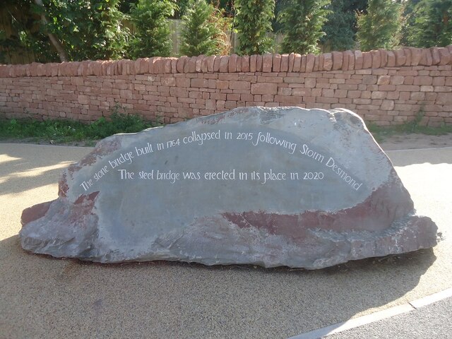
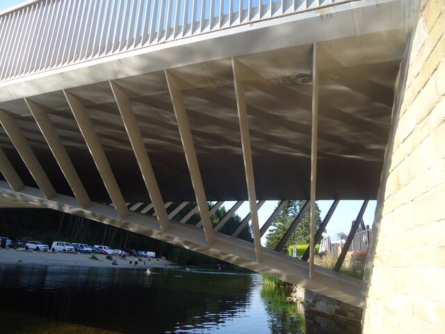
Pooley Bridge (structure)
Pooley Bridge was an historic stone road bridge that crossed the River Eamont in the village of Pooley Bridge near the northern end of Ullswater. It connected...
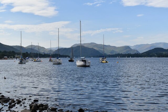
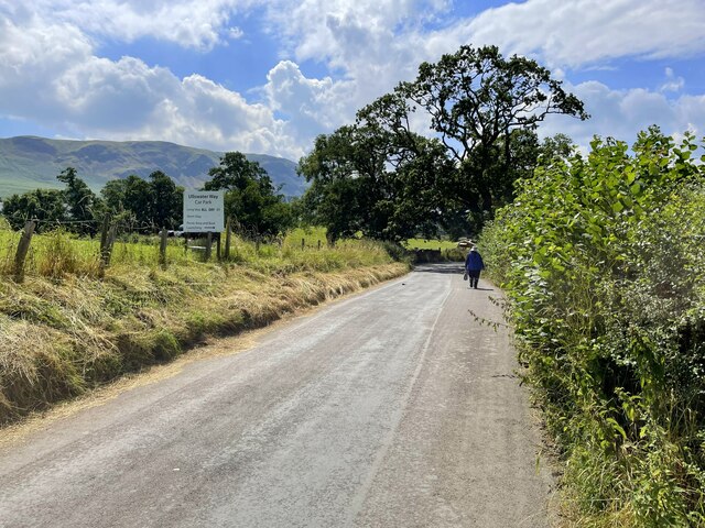
Ullswater Way
The Ullswater Way is a 20-mile (32 km) waymarked walking route around Ullswater in the English Lake District. It was created by a partnership which included...

Pooley Bridge
Pooley Bridge is a village in the Eden District of the northwestern English county of Cumbria, within the traditional borders of Westmorland. The village...

Dunmallet
Dunmallet or Dunmallard Hill is a small hill in the English Lake District, near Pooley Bridge, Cumbria. It is the subject of a chapter of Wainwright's...
Arthur's Pike
Arthur's Pike is a fell in the English Lake District, near Ullswater. It is a subsidiary top on the ridge falling north from Loadpot Hill in the Far Eastern...
Nearby Amenities
Located within 500m of 54.596881,-2.8315023Have you been to Broom Hill?
Leave your review of Broom Hill below (or comments, questions and feedback).