Crossway Green
Downs, Moorland in Monmouthshire
Wales
Crossway Green
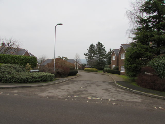
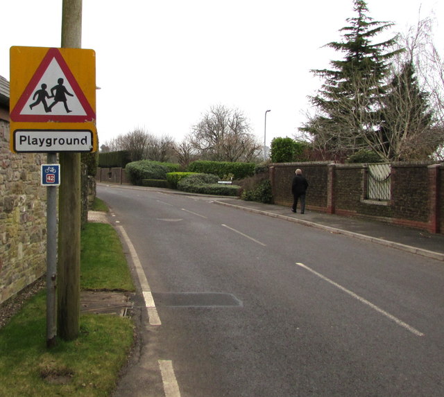
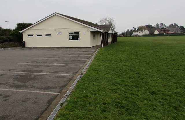
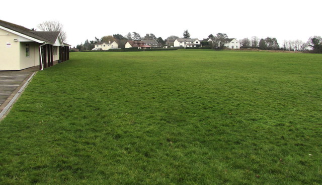
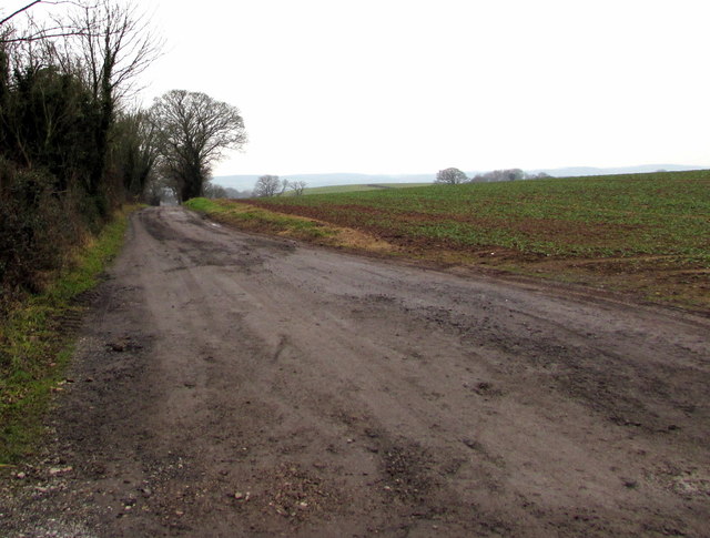
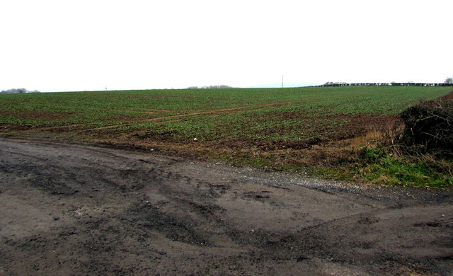
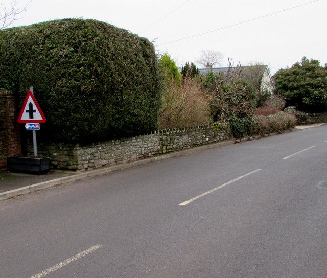
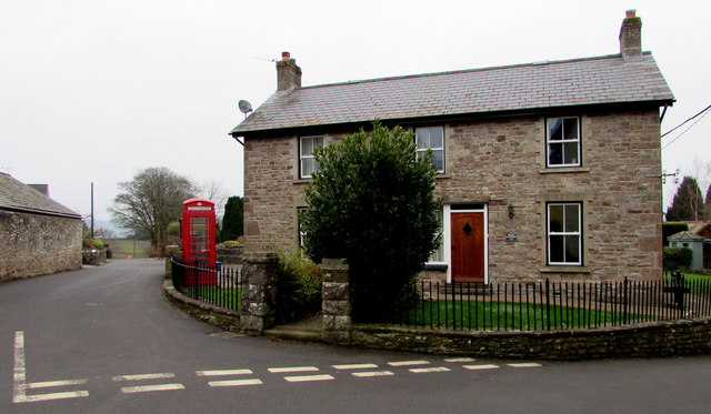
Crossway Green is a small village located in Monmouthshire, a county in southeast Wales, United Kingdom. Situated amidst breathtaking downs and moorland, the village is known for its picturesque countryside and tranquil surroundings.
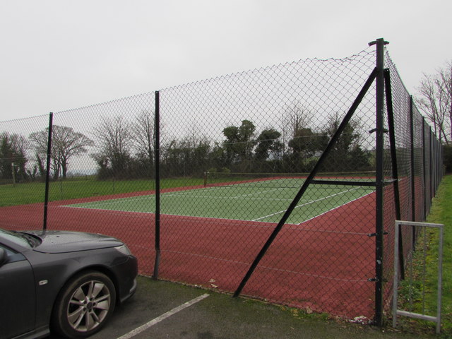
The village itself is home to a close-knit community of residents who enjoy a peaceful and idyllic lifestyle. The architecture of the village consists mainly of traditional stone houses and cottages, adding to its charm and character. The surrounding downs and moorland provide ample opportunities for outdoor activities such as hiking, cycling, and horse riding, making it a haven for nature enthusiasts.
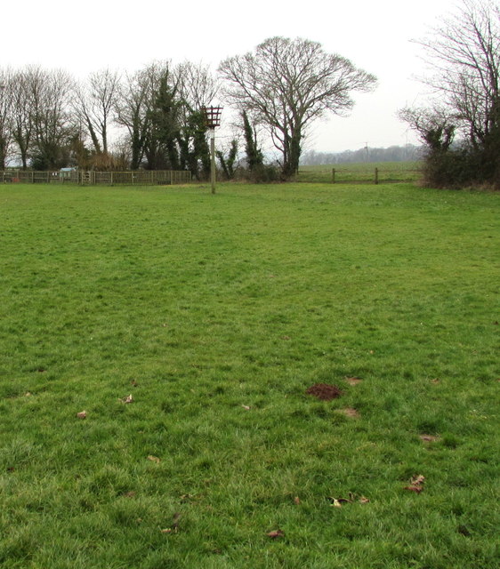
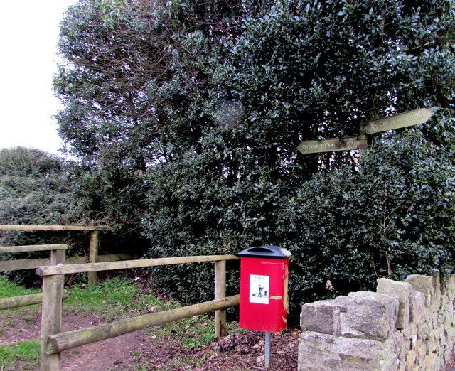
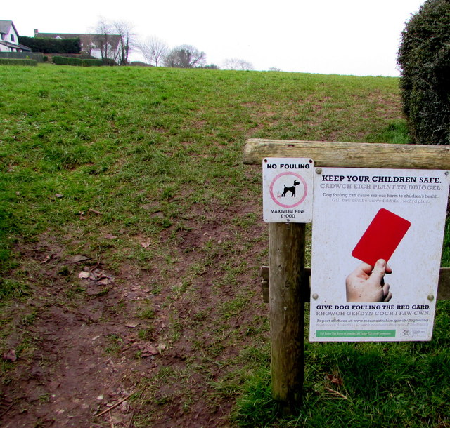
One of the notable attractions in Crossway Green is the nearby nature reserve, which is known for its diverse wildlife and stunning views. Visitors can explore the vast expanses of moorland, spotting various bird species and indigenous flora. The village also boasts several walking trails that allow visitors to soak in the beauty of the surrounding landscape.
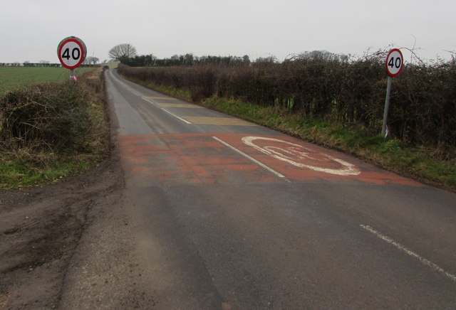
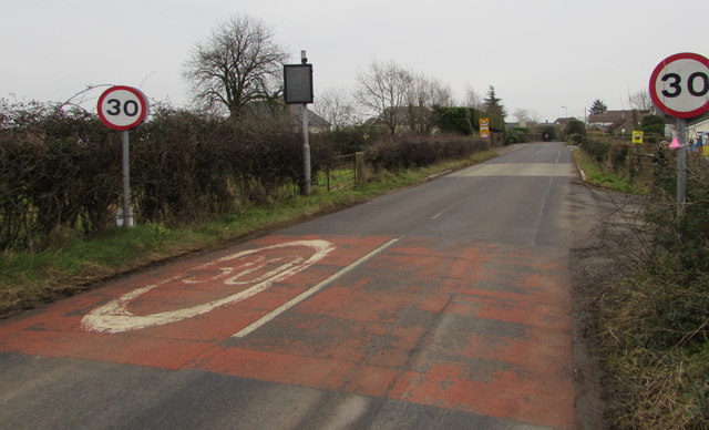
Despite its rural location, Crossway Green is well-connected to nearby towns and cities. The village has good road access, making it easily accessible by car. Additionally, there are regular bus services that connect the village to other parts of Monmouthshire.
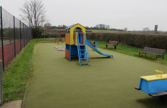
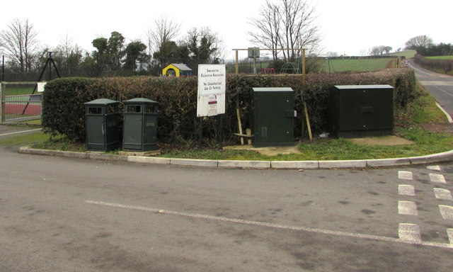
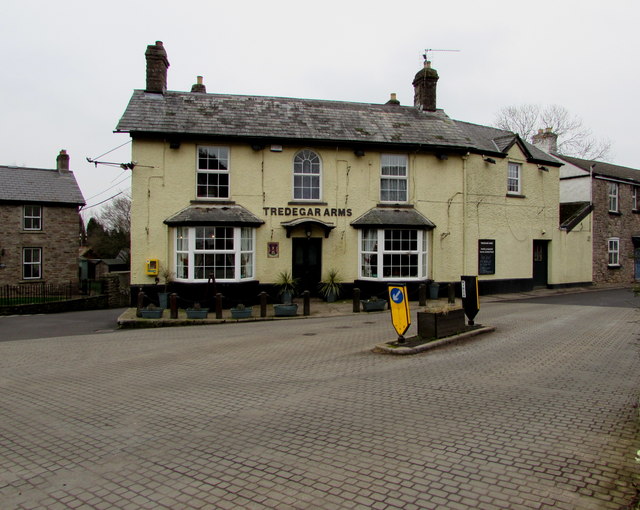
In terms of amenities, Crossway Green offers a few local shops and amenities for daily essentials, although residents often travel to nearby towns for a wider range of services. The village also has a community center that serves as a hub for social gatherings and events.
Overall, Crossway Green is a charming village nestled amidst downs and moorland, offering a tranquil escape for those seeking a rural lifestyle in the beautiful surroundings of Monmouthshire.
If you have any feedback on the listing, please let us know in the comments section below.
Crossway Green Images
Images are sourced within 2km of 51.632282/-2.7700946 or Grid Reference ST4692. Thanks to Geograph Open Source API. All images are credited.
Crossway Green is located at Grid Ref: ST4692 (Lat: 51.632282, Lng: -2.7700946)
Unitary Authority: Monmouthshire
Police Authority: Gwent
What 3 Words
///lied.stammer.descended. Near Caerwent, Monmouthshire
Nearby Locations
Related Wikis

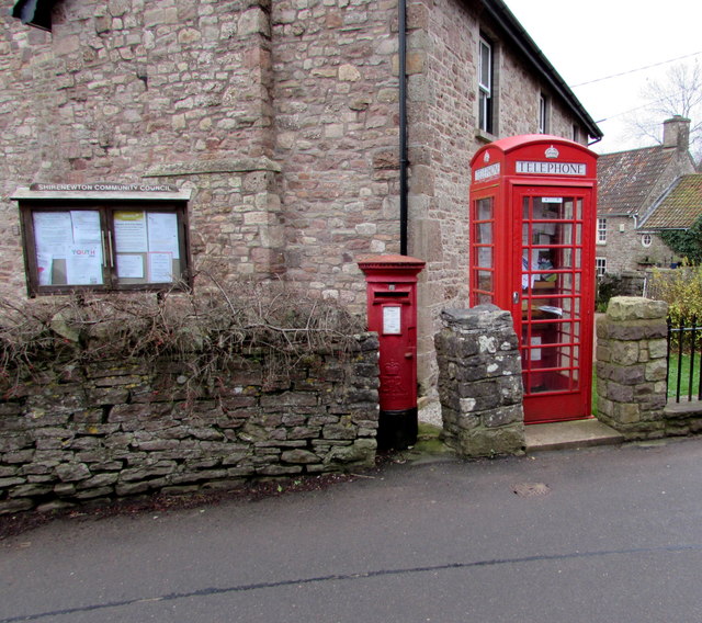
Shirenewton
Shirenewton (Welsh: Drenewydd Gelli-farch) is a village and community in Monmouthshire, south east Wales. It is located 3 miles due west of Chepstow,...
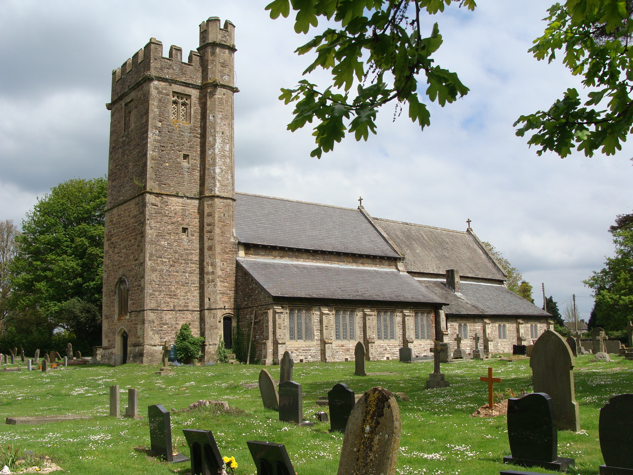
Church of St Thomas a Becket, Shirenewton
The Church of St Thomas a Becket is located in Shirenewton, Monmouthshire, Wales. In the late 12th century the land was inherited by Henry de Bohun. The...

Shirenewton Hall
Shirenewton Hall, originally Shirenewton Court, is a country house and estate adjoining the village of Shirenewton, Monmouthshire, Wales, about 3 miles...

Caerwent Training Area
Caerwent Training Area is a British military installation at Caerwent, Monmouthshire, Wales. The large military site is situated north of the A48 road...

Llanvair Discoed
Llanvair Discoed (Welsh: Llanfair Is Coed) is a small village in Monmouthshire, south-east Wales, 6 miles west of Chepstow and 10 miles east of Newport...

Venta Silurum
Venta Silurum was a town in Roman Britain (Britannia). Today it consists of remains in the village of Caerwent in Monmouthshire, south east Wales. Much...

Caerwent
Caerwent (Welsh: Caer-went) is a village and community in Monmouthshire, Wales. It is located about five miles west of Chepstow and 11 miles east of Newport...
Church of St Stephen and St Tathan, Caerwent
The Church of St Stephen and St Tathan, Caerwent, Monmouthshire, is a parish church with datable origins to the 13th century. It is believed to be one...
Nearby Amenities
Located within 500m of 51.632282,-2.7700946Have you been to Crossway Green?
Leave your review of Crossway Green below (or comments, questions and feedback).