Llanmelin Wood Hill Fort

Heritage Site in Monmouthshire

Wales

Llanmelin Wood Hill Fort

Vine Tree Cottage, Caerwent On the east side of School Lane near the Pound Lane junction.
Vine Tree Cottage, Caerwent Credit: Jaggery

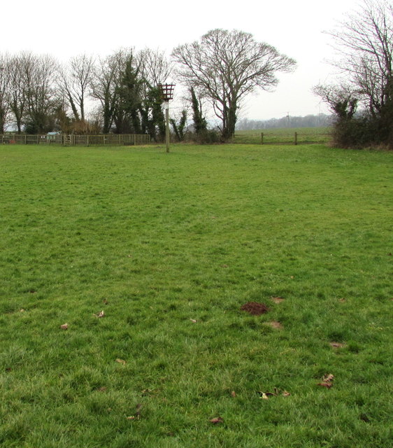
Llanmelin Wood Hill Fort is an ancient archaeological site located in Monmouthshire, Wales. The hill fort is situated on top of a prominent hill, providing panoramic views of the surrounding landscape. It is believed to have been constructed during the Iron Age, around 600 BC, and was occupied until the Roman period.

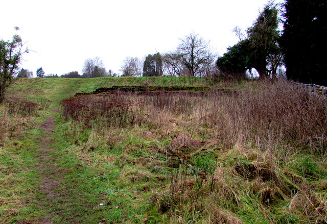
The fort itself covers an area of approximately 2.3 hectares and is enclosed by a series of earthwork ramparts and ditches. The outermost rampart is the largest and most impressive, measuring around 10 meters wide and 3 meters high. Inside the fort, there are the remains of several roundhouses and other structures, suggesting that it was once a vibrant and thriving settlement.

Llanmelin Wood Hill Fort is of great historical significance as it provides valuable insights into the lives and activities of the people who inhabited the area over two thousand years ago. Excavations at the site have revealed artifacts such as pottery, tools, and animal bones, shedding light on the daily lives and practices of the ancient inhabitants.

Today, the hill fort is a protected heritage site, managed by Cadw, the Welsh government's historic environment service. It is open to the public and offers visitors the opportunity to explore the ancient ruins and learn about the rich history of the area. The site also boasts beautiful woodland surroundings, making it a popular destination for walking and nature enthusiasts.

If you have any feedback on the listing, please let us know in the comments section below.

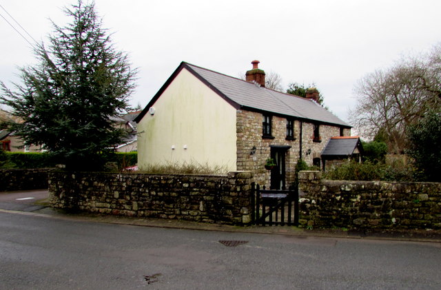
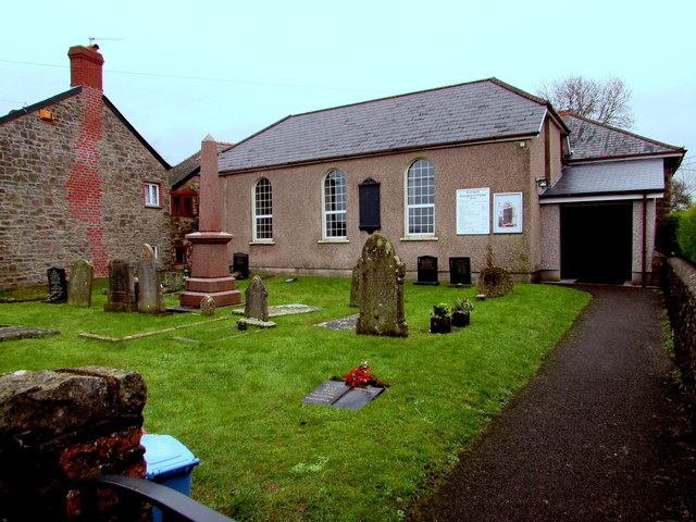
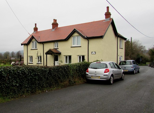
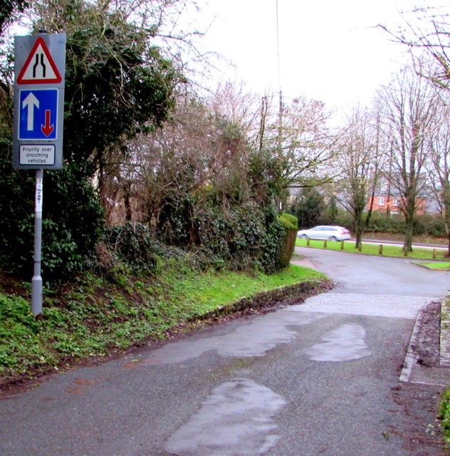
Llanmelin Wood Hill Fort Images

Images are sourced within 2km of 51.6291/-2.7794 or Grid Reference ST4692. Thanks to Geograph Open Source API. All images are credited.

Vine Tree Cottage, Caerwent On the east side of School Lane near the Pound Lane junction.
Vine Tree Cottage, Caerwent
On the east side of School Lane near the Pound Lane junction.
Chapel and burial ground, Caerwent Caerwent Evangelical Baptist Chapel is on the east side of School Lane, about 100 metres south of the A48.
The chapel's website states that the chapel has been a place of worship since 1815.
Chapel and burial ground, Caerwent
Caerwent Evangelical Baptist Chapel is on the east side of School Lane, about 100 metres south of the A48. The chapel's website states that the chapel has been a place of worship since 1815.
Bumble Bee Cottage, Caerwent On the west side of School Lane, opposite Caerwent Evangelical Baptist Chapel. <a title="https://www.geograph.org.uk/photo/4806137" href="https://www.geograph.org.uk/photo/4806137">Link</a>
Bumble Bee Cottage was formerly named Widows Cottage.
Bumble Bee Cottage, Caerwent
On the west side of School Lane, opposite Caerwent Evangelical Baptist Chapel. Link Bumble Bee Cottage was formerly named Widows Cottage.
Road signs near the northern end of School Lane, Caerwent Road narrows and priority over oncoming vehicles signs are on the approach to the A48.
Road signs near the northern end of School Lane, Caerwent
Road narrows and priority over oncoming vehicles signs are on the approach to the A48.
Northgate House B&B, Caerwent Guesthouse set back from the south side of the A48, viewed in January 2016.
This was the Northgate Inn <a title="https://www.geograph.org.uk/photo/2803701" href="https://www.geograph.org.uk/photo/2803701">Link</a> in March 2011.
Northgate House B&B, Caerwent
Guesthouse set back from the south side of the A48, viewed in January 2016. This was the Northgate Inn Link in March 2011.
Guesthouse formerly a pub, Caerwent In January 2016, this is Northgate House, a bed & breakfast guesthouse set back from the south side of the A48. This was the Northgate Inn <a title="https://www.geograph.org.uk/photo/2803701k" href="https://www.geograph.org.uk/photo/2803701k">Link</a> in March 2011.
Guesthouse formerly a pub, Caerwent
In January 2016, this is Northgate House, a bed & breakfast guesthouse set back from the south side of the A48. This was the Northgate Inn Link in March 2011.
Two businesses alongside the A48, Caerwent That Media Group head office <a title="https://www.geograph.org.uk/photo/4806187" href="https://www.geograph.org.uk/photo/4806187">Link</a> is on the left. 
Spot Music (guitar and drums lessons) on the right. <a title="https://www.geograph.org.uk/photo/4806179" href="https://www.geograph.org.uk/photo/4806179">Link</a>
Two businesses alongside the A48, Caerwent
That Media Group head office Link is on the left. Spot Music (guitar and drums lessons) on the right. Link
Green Lane Studio, Caerwent Premises of Spot Music, on the south side of the A48. 
Spot Music provides professional guitar, drum, bass and music theory tuition.
Green Lane Studio, Caerwent
Premises of Spot Music, on the south side of the A48. Spot Music provides professional guitar, drum, bass and music theory tuition.
That Media Group head office, Caerwent Located in Green Lane Studio on the south side of the A48. The company website states
"That Media Group provides consultancy in design, marketing, print and web. We’ll see the whole picture
and take you through from design concepts to marketing strategy to printed materials to web presence".
That Media Group head office, Caerwent
Located in Green Lane Studio on the south side of the A48. The company website states "That Media Group provides consultancy in design, marketing, print and web. We’ll see the whole picture and take you through from design concepts to marketing strategy to printed materials to web presence".
Track past an Ancient Roman wall, Caerwent Viewed from a gate on the south side of the A48. The wall is one of many remnants of the Ancient Roman town of Venta Silurum to be seen in Caerwent. Venta was set up by the Romans in 75 AD as an administrative centre for the defeated Silures tribe.
Track past an Ancient Roman wall, Caerwent
Viewed from a gate on the south side of the A48. The wall is one of many remnants of the Ancient Roman town of Venta Silurum to be seen in Caerwent. Venta was set up by the Romans in 75 AD as an administrative centre for the defeated Silures tribe.
Redd Landes, Shirenewton Cul-de-sac on the north side of Earlswood Road. The name Redd Landes appears to be unique in the UK.
Redd Landes, Shirenewton
Cul-de-sac on the north side of Earlswood Road. The name Redd Landes appears to be unique in the UK.
Children's play area in Shirenewton At the western edge of the village, between a lawn tennis court and a hedge at the edge of Earlswood Road.
Children's play area in Shirenewton
At the western edge of the village, between a lawn tennis court and a hedge at the edge of Earlswood Road.
End of the 30 zone at the western edge of Shirenewton, Monmouthshire The 30mph speed limit on Earlswood Road increases to 40mph.
End of the 30 zone at the western edge of Shirenewton, Monmouthshire
The 30mph speed limit on Earlswood Road increases to 40mph.
Start of the 30 zone at the western edge of Shirenewton, Monmouthshire The 40mph speed limit on Earlswood Road drops to 30mph.
Start of the 30 zone at the western edge of Shirenewton, Monmouthshire
The 40mph speed limit on Earlswood Road drops to 30mph.
Warning sign - playground, Shirenewton Facing Earlswood Road on the approach to this <a title="https://www.geograph.org.uk/photo/5652529" href="https://www.geograph.org.uk/photo/5652529">Link</a> playground.
The small rectangular sign shows that this road is part of National Cycle Network Route 42.
Warning sign - playground, Shirenewton
Facing Earlswood Road on the approach to this Link playground. The small rectangular sign shows that this road is part of National Cycle Network Route 42.
Two telecoms cabinets and two litter bins, Shirenewton Alongside Earlswood Road at the entrance to the village recreation ground.
A Virgin Media cabinet is on the right, next to a BT cabinet.
Two telecoms cabinets and two litter bins, Shirenewton
Alongside Earlswood Road at the entrance to the village recreation ground. A Virgin Media cabinet is on the right, next to a BT cabinet.
Shirenewton tennis court On the Earlswood Road side of the village recreation ground, next to a children's play area. <a title="https://www.geograph.org.uk/photo/5652529" href="https://www.geograph.org.uk/photo/5652529">Link</a>
Shirenewton tennis court
On the Earlswood Road side of the village recreation ground, next to a children's play area. Link
Towards Shirenewton Beacon The beacon is located near the western edge of the village recreation ground.
Towards Shirenewton Beacon
The beacon is located near the western edge of the village recreation ground.
Show me another place!

Llanmelin Wood Hill Fort is located at Grid Ref: ST4692 (Lat: 51.6291, Lng: -2.7794)

Unitary Authority: Monmouthshire

Police Authority: Gwent

What 3 Words

///gliders.coining.waltzed. Near Caerwent, Monmouthshire

Related Wikis

Llanvair Discoed

Llanvair Discoed (Welsh: Llanfair Is Coed) is a small village in Monmouthshire, south-east Wales, 6 miles west of Chepstow and 10 miles east of Newport...

Caerwent Training Area

Caerwent Training Area is a British military installation at Caerwent, Monmouthshire, Wales. The large military site is situated north of the A48 road...

Shirenewton

Shirenewton (Welsh: Drenewydd Gelli-farch) is a village and community in Monmouthshire, south east Wales. It is located 3 miles due west of Chepstow,...

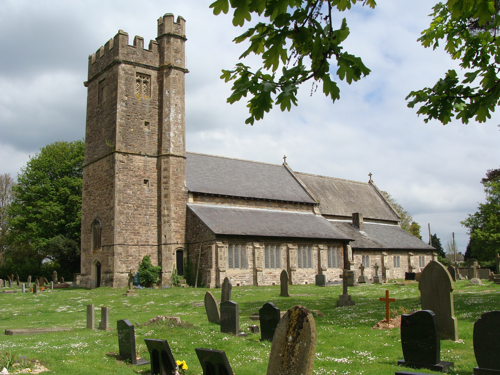
Church of St Thomas a Becket, Shirenewton

The Church of St Thomas a Becket is located in Shirenewton, Monmouthshire, Wales. In the late 12th century the land was inherited by Henry de Bohun. The...

Shirenewton Hall

Shirenewton Hall, originally Shirenewton Court, is a country house and estate adjoining the village of Shirenewton, Monmouthshire, Wales, about 3 miles...

Venta Silurum

Venta Silurum was a town in Roman Britain (Britannia). Today it consists of remains in the village of Caerwent in Monmouthshire, south east Wales. Much...

Church of St Stephen and St Tathan, Caerwent

The Church of St Stephen and St Tathan, Caerwent, Monmouthshire, is a parish church with datable origins to the 13th century. It is believed to be one...

Caerwent

Caerwent (Welsh: Caer-went) is a village and community in Monmouthshire, Wales. It is located about five miles west of Chepstow and 11 miles east of Newport...

Nearby Amenities

Located within 500m of 51.6291,-2.7794
The data included in this document is from www.openstreetmap.org. The data is made available under ODbL.

Have you been to Llanmelin Wood Hill Fort?

Leave your review of Llanmelin Wood Hill Fort below (or comments, questions and feedback).