Whitmoorpool Common

Downs, Moorland in Herefordshire

England

Whitmoorpool Common

Church Cottages (Burghill) The cottages are seen to the left of the picture, and the weatherboarded barn was possibly built for Church Farmhouse in the C17.
Church Cottages (Burghill) Credit: Fabian Musto

Whitmoorpool Common is a picturesque area located in Herefordshire, England. Covering vast expanses of downs and moorland, this common is a haven for nature enthusiasts and those seeking a peaceful retreat.

Situated in the southwest region of Herefordshire, Whitmoorpool Common offers breathtaking views of rolling hills and open landscapes. The common spans over a considerable area, providing ample space for visitors to explore and immerse themselves in the beauty of the surrounding nature.

The terrain of Whitmoorpool Common is characterized by gentle slopes and undulating hills, covered in heather, gorse, and various grasses. This diverse vegetation creates a vibrant and colorful tapestry, especially during the summer months when wildflowers bloom, adding to the charm of the area.

The common is also home to a variety of wildlife, making it a popular destination for birdwatchers and wildlife photographers. Visitors may have the opportunity to spot rare species such as the curlew, lapwing, and red kite, among others. Small mammals like rabbits and hares can also be spotted darting across the open spaces.

Whitmoorpool Common is an ideal place for outdoor activities such as walking, hiking, and picnicking. Several designated footpaths and trails crisscross the common, allowing visitors to explore its unique features at their own pace. Additionally, the area is well-maintained and offers ample parking facilities for visitors.

Overall, Whitmoorpool Common in Herefordshire is a hidden gem, offering visitors a chance to immerse themselves in the tranquility of nature and enjoy the stunning landscapes that make this area so special.

If you have any feedback on the listing, please let us know in the comments section below.

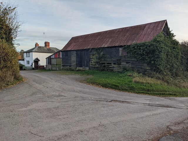
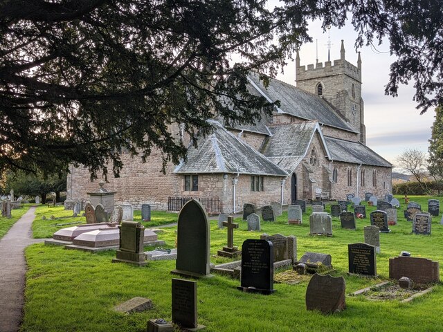
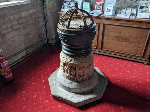
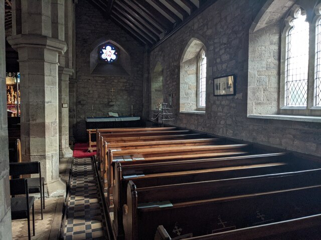
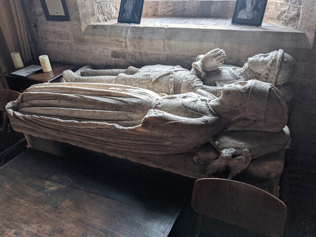
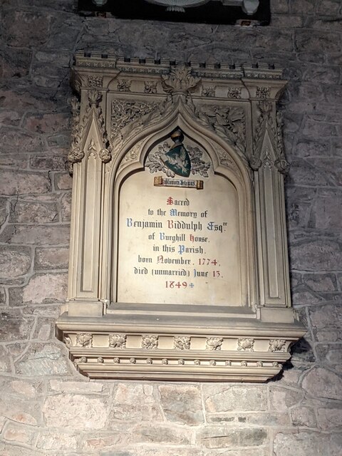
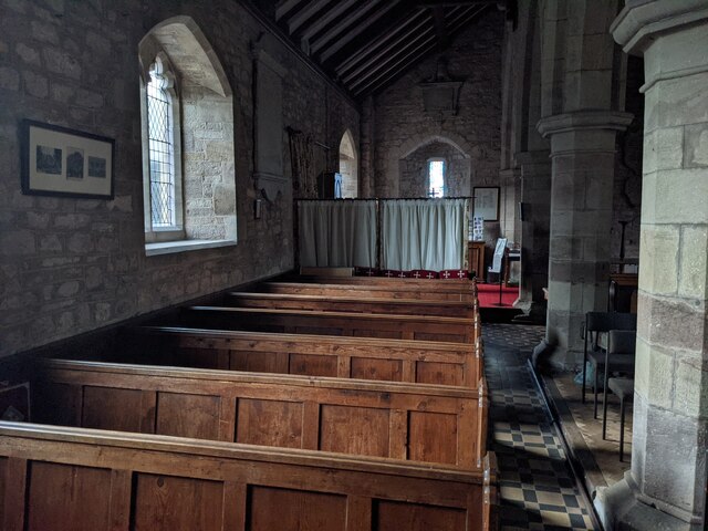
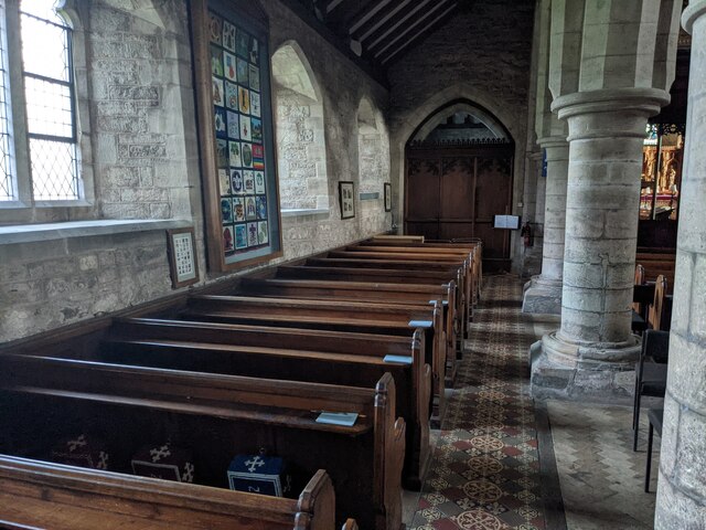
Whitmoorpool Common Images

Images are sourced within 2km of 52.099202/-2.7765214 or Grid Reference SO4644. Thanks to Geograph Open Source API. All images are credited.

Church Cottages (Burghill) The cottages are seen to the left of the picture, and the weatherboarded barn was possibly built for Church Farmhouse in the C17.
Church Cottages (Burghill)
The cottages are seen to the left of the picture, and the weatherboarded barn was possibly built for Church Farmhouse in the C17.
St. Mary's church (Burghill) The parish church in Burghill has a core from the C12, and the building was extended at the turn of that century. It was altered in the early C14, and most of the work from that century are still evident (e.g. windows and arcades). The west bell tower was rebuilt in 1812, and the church went through several restorations and additions in 1824, 1854, 1862, 1879-80 and 1894. This was grade II* listed in January 1967.
St. Mary's church (Burghill)
The parish church in Burghill has a core from the C12, and the building was extended at the turn of that century. It was altered in the early C14, and most of the work from that century are still evident (e.g. windows and arcades). The west bell tower was rebuilt in 1812, and the church went through several restorations and additions in 1824, 1854, 1862, 1879-80 and 1894. This was grade II* listed in January 1967.
Font at St. Mary's church (Burghill) This ancient font is in the west end of the south aisle, and mostly dates from the C12 (the lead bowl below the cresting was added in later times).
Font at St. Mary's church (Burghill)
This ancient font is in the west end of the south aisle, and mostly dates from the C12 (the lead bowl below the cresting was added in later times).
South aisle at St. Mary's church (Burghill)
Lectern at St. Mary's church (Burghill) The brass lectern in the east end of the nave was possibly built in the second half of the C19.
Lectern at St. Mary's church (Burghill)
The brass lectern in the east end of the nave was possibly built in the second half of the C19.
Nave at St. Mary's church (Burghill) The war memorial triptych of 1921 is above the west door to the bell tower.
Nave at St. Mary's church (Burghill)
The war memorial triptych of 1921 is above the west door to the bell tower.
Pulpit at St. Mary's church (Burghill) The Jacobean (C17) pulpit in the east end of the nave.
Pulpit at St. Mary's church (Burghill)
The Jacobean (C17) pulpit in the east end of the nave.
North aisle at St. Mary's church (Burghill) This is the west view of the north aisle from the east end.
North aisle at St. Mary's church (Burghill)
This is the west view of the north aisle from the east end.
Floor inside St. Mary's church (Burghill) The Victorian floor tiles in the chancel.
Floor inside St. Mary's church (Burghill)
The Victorian floor tiles in the chancel.
Chancel at St. Mary's church (Burghill) The reredos in the distance was carved by Frank Dredge to the design of Groom and Bettington from 1906-07.
Chancel at St. Mary's church (Burghill)
The reredos in the distance was carved by Frank Dredge to the design of Groom and Bettington from 1906-07.
Organ at St. Mary's church (Burghill) The pipe organ in the north wall of the chancel.
Organ at St. Mary's church (Burghill)
The pipe organ in the north wall of the chancel.
Organs at St. Mary's church (Burghill) Two modern organs in the north wall of the chancel, and I believe one of them is linked to the pipe organ shown here <a href="https://www.geograph.org.uk/photo/7690745">SO4744 : Organ at St. Mary's church (Burghill)</a>.
Organs at St. Mary's church (Burghill)
Two modern organs in the north wall of the chancel, and I believe one of them is linked to the pipe organ shown here SO4744 : Organ at St. Mary's church (Burghill).
Effigies inside St. Mary's church (Burghill) These alabaster effigies of Sir John Milbourne and his wife Elizabeth Devereux date from around 1440, situated in the south wall of the chancel.
Effigies inside St. Mary's church (Burghill)
These alabaster effigies of Sir John Milbourne and his wife Elizabeth Devereux date from around 1440, situated in the south wall of the chancel.
Monument to Benjamin Biddulph (Burghill) This wall monument to Benjamin Biddulph (1774-1849) is in the north wall of the chancel at St. Mary parish church. Benjamin held the position of High Sheriff of Herefordshire from 3rd February 1803 to 1st February 1804.
Monument to Benjamin Biddulph (Burghill)
This wall monument to Benjamin Biddulph (1774-1849) is in the north wall of the chancel at St. Mary parish church. Benjamin held the position of High Sheriff of Herefordshire from 3rd February 1803 to 1st February 1804.
Window inside St. Mary's church (Burghill) The stained-glass in the east window (chancel) was installed by Heaton, Butler and Bayne in 1895.
Window inside St. Mary's church (Burghill)
The stained-glass in the east window (chancel) was installed by Heaton, Butler and Bayne in 1895.
South aisle at St. Mary's church (Burghill) The stained-glass in the west window was installed by John Petts in 1988, and this is known as the Baptistry Window.
South aisle at St. Mary's church (Burghill)
The stained-glass in the west window was installed by John Petts in 1988, and this is known as the Baptistry Window.
North aisle at St. Mary's church (Burghill) This is the east view of the north aisle from the west end.
North aisle at St. Mary's church (Burghill)
This is the east view of the north aisle from the west end.
Bell wheel inside St. Mary's church (Burghill) This bell wheel is in the west end of the north aisle.
Bell wheel inside St. Mary's church (Burghill)
This bell wheel is in the west end of the north aisle.
Show me another place!

Whitmoorpool Common is located at Grid Ref: SO4644 (Lat: 52.099202, Lng: -2.7765214)

Unitary Authority: County of Herefordshire

Police Authority: West Mercia

What 3 Words

///plump.detection.onlookers. Near Credenhill, Herefordshire

Related Wikis

Burghill

Burghill is a village and civil parish in Herefordshire, England, north-west of Hereford. The parish includes the villages of Burghill, Tillington, Portway...

RAF Credenhill

RAF Credenhill, also known as RAF Hereford, was a non-flying station of the Royal Air Force situated in the village of Credenhill near Hereford, England...

Stirling Lines

Stirling Lines is a British Army garrison in Credenhill, Herefordshire; the headquarters of the 22 Special Air Service Regiment (22 SAS) and the Special...

St Mary's Hospital, Burghill

St. Mary's Hospital was a psychiatric facility located in the village of Burghill, Herefordshire. == History == Herefordshire initially utilised subscription...

Nearby Amenities

Located within 500m of 52.099202,-2.7765214
Generator Method: photovoltaic
Generator Output Electricity: yes
Generator Source: solar
Generator Type: solar_photovoltaic_panel
Location: roof
Power: generator
Lat/Long: 52.1020438/-2.7796242
Generator Method: photovoltaic
Generator Output Electricity: yes
Generator Source: solar
Generator Type: solar_photovoltaic_panel
Location: roof
Power: generator
Lat/Long: 52.1025941/-2.7792728
Give Way
Direction: backward
Lat/Long: 52.1028797/-2.7796814
Give Way
Direction: forward
Lat/Long: 52.1027747/-2.7796472
Bench
Lat/Long: 52.1029893/-2.7800491
Defibrillator
Emergency: defibrillator
Ref GB The Circuit: 88C658FC-796E-45FE-A76B-AD3D00AEF310
Lat/Long: 52.1029841/-2.7800302
Post Box
Lat/Long: 52.1029948/-2.7800693
Defibrillator
Defibrillator Location: On wall to left of main entrance.
Emergency: defibrillator
Indoor: no
Ref GB The Circuit: 66BE1AF6-BC25-48DE-BDE8-AC620109FA98
Lat/Long: 52.0983508/-2.7693557
Generator Method: photovoltaic
Generator Output Electricity: yes
Generator Source: solar
Generator Type: solar_photovoltaic_panel
Location: roof
Power: generator
Lat/Long: 52.0983819/-2.7694009
The data included in this document is from www.openstreetmap.org. The data is made available under ODbL.

Have you been to Whitmoorpool Common?

Leave your review of Whitmoorpool Common below (or comments, questions and feedback).