Calflay Wood
Wood, Forest in Westmorland South Lakeland
England
Calflay Wood
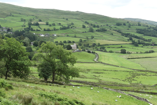
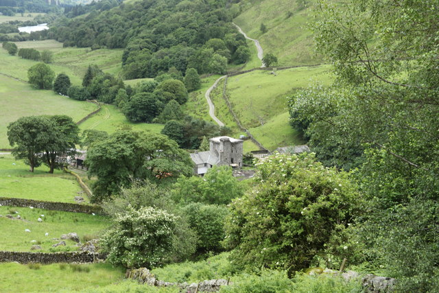
Calflay Wood is a picturesque woodland located in the historical county of Westmorland, in the northwestern region of England. Spanning over a vast area, this captivating forest offers visitors an enchanting retreat in the heart of nature.
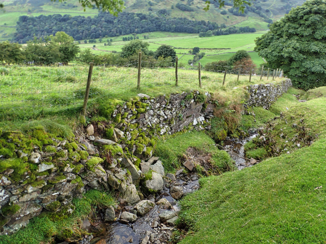
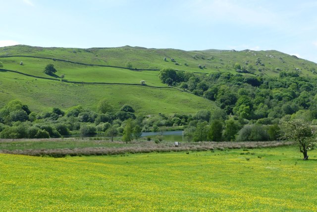
The wood is characterized by its dense canopy of towering trees, predominantly composed of oak, beech, and ash. These majestic giants create a serene ambiance, casting dappled shadows on the forest floor. The woodland is home to a rich variety of flora and fauna, with an array of wildflowers, mosses, and ferns inhabiting the undergrowth.
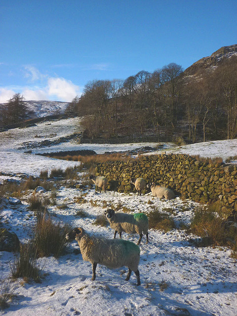
Nature enthusiasts will revel in the diverse wildlife that calls Calflay Wood home. The forest is a haven for numerous bird species, including woodpeckers, owls, and thrushes, which can be heard harmonizing with the gentle rustling of leaves. Squirrels can be spotted darting between branches, while rabbits and deer frolic in the open clearings.
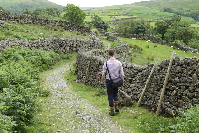
For those seeking tranquility, the wood offers numerous walking trails, inviting visitors to explore its hidden wonders. As one meanders through the winding paths, they will stumble upon babbling brooks, adding to the idyllic atmosphere. The wood also boasts a small pond, where ducks and other waterfowl can be observed gracefully gliding across the shimmering surface.
Whether it's a leisurely stroll, birdwatching, or simply immersing oneself in the natural beauty, Calflay Wood provides a serene and captivating escape for all who venture within its borders.
If you have any feedback on the listing, please let us know in the comments section below.
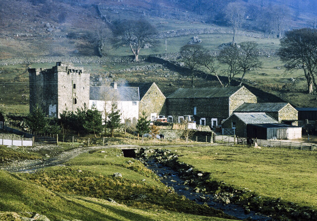
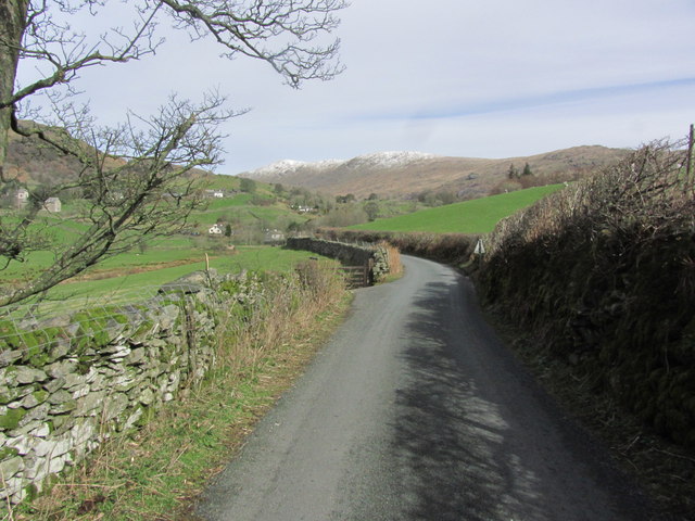
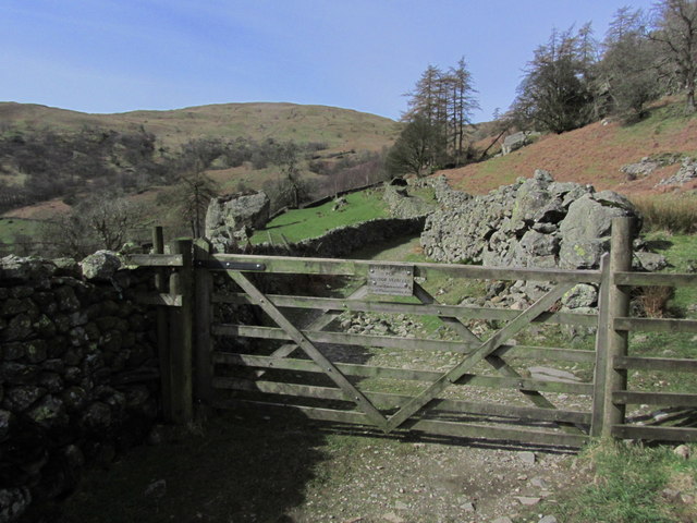
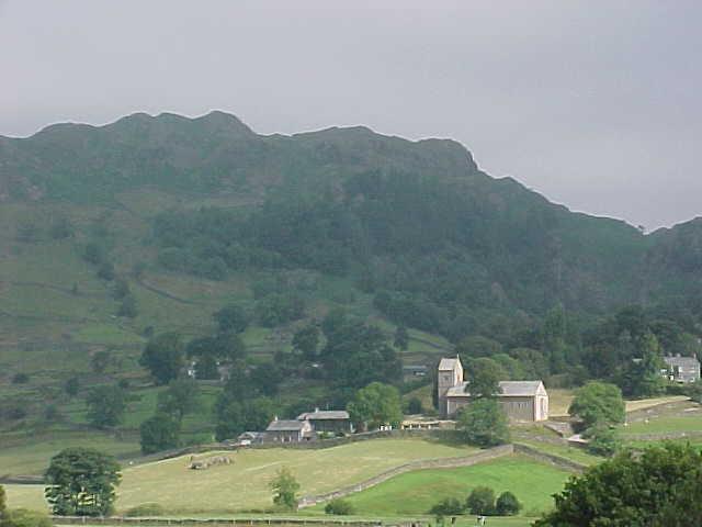
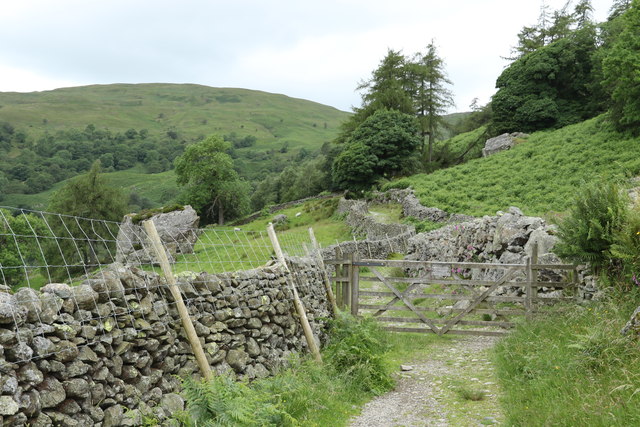
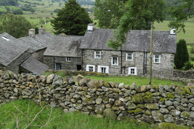
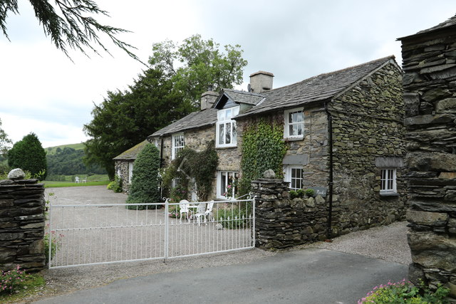
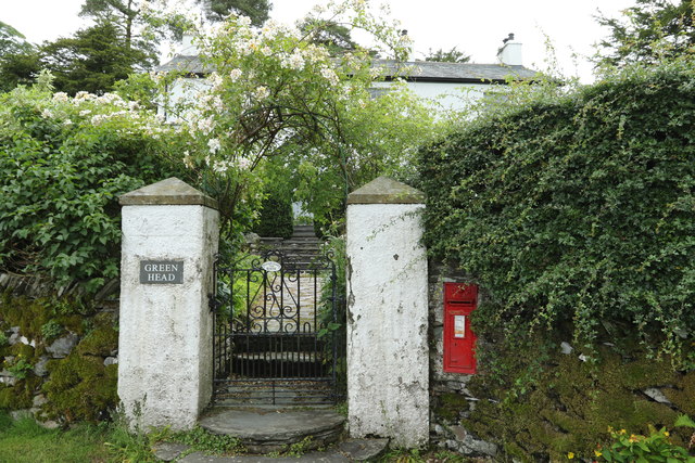
Calflay Wood Images
Images are sourced within 2km of 54.421593/-2.833112 or Grid Reference NY4603. Thanks to Geograph Open Source API. All images are credited.


Calflay Wood is located at Grid Ref: NY4603 (Lat: 54.421593, Lng: -2.833112)
Administrative County: Cumbria
District: South Lakeland
Police Authority: Cumbria
What 3 Words
///gobbles.topples.relief. Near Staveley, Cumbria
Nearby Locations
Related Wikis

Kentmere
Kentmere is a valley, village and civil parish in the Lake District National Park, a few miles from Kendal in the Westmorland and Furness district of Cumbria...
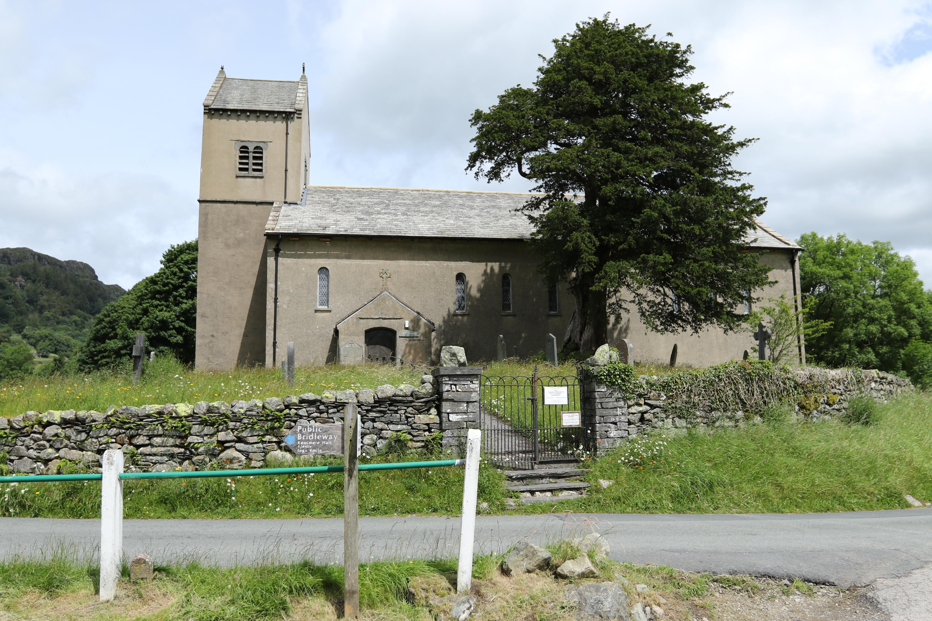
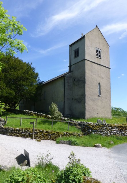
St Cuthbert's Church, Kentmere
St Cuthbert's Church, Kentmere is a Grade II listed parish church in the Church of England in Kentmere, Cumbria. Its benefice is united with that of St...

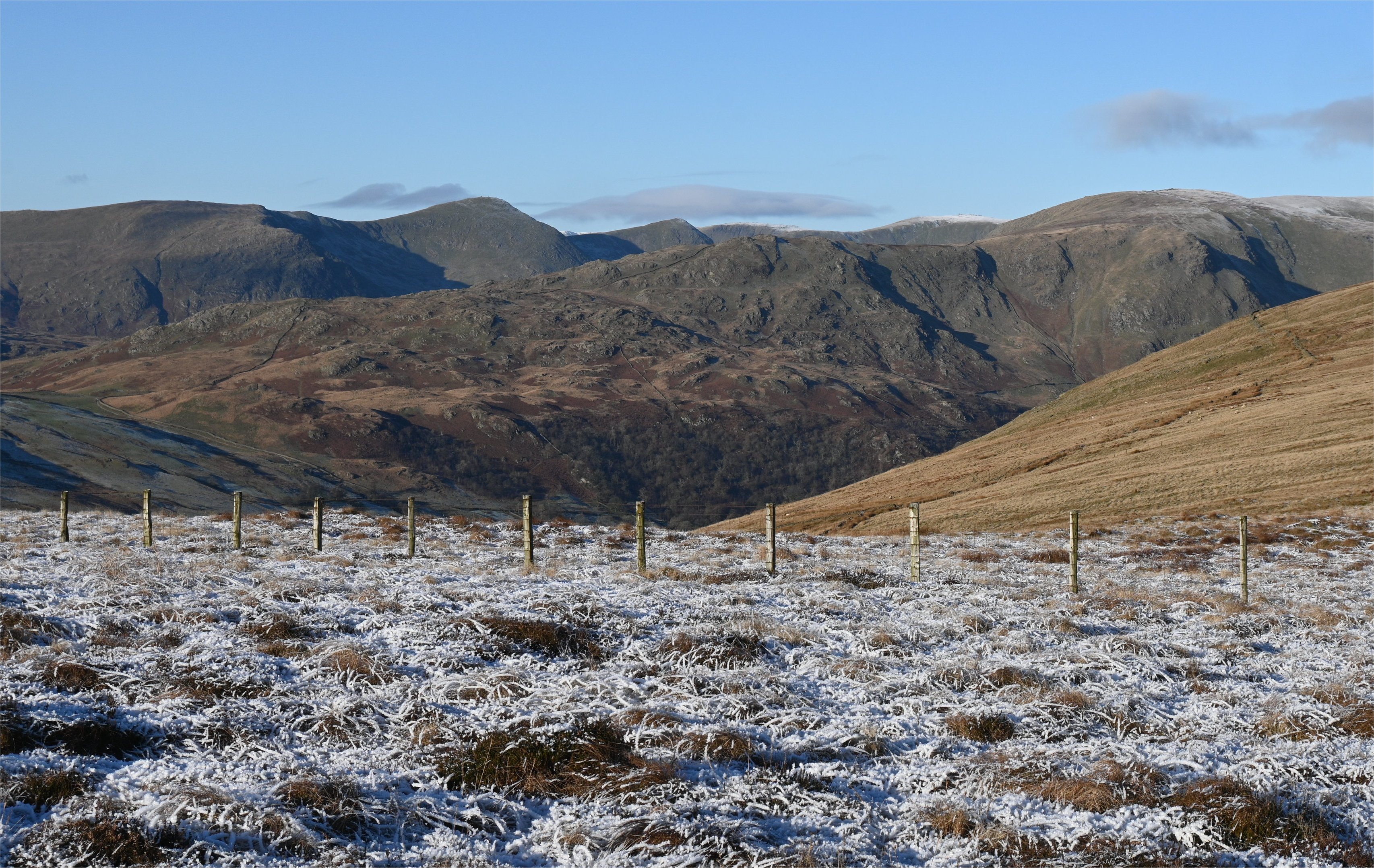
Green Quarter Fell
Green Quarter Fell is an upland area in the east of the English Lake District, near Kentmere village, Cumbria. It is the subject of a chapter of Wainwright...

Sallows
Sallows is a fell in the English Lake District, rising between the valleys of Kentmere and Troutbeck. It is the highest point in the upland area to the...
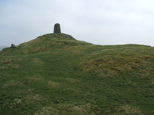
High Knott
High Knott, marked on some Ordnance Survey maps as Williamson's Monument, is a hill in the eastern part of the English Lake District, near Staveley, Cumbria...
Shipman Knotts
Shipman Knotts is a fell in the English Lake District in Cumbria, England. It reaches a height of 587 metres (1,926 ft) and is situated in one of the quieter...

Sadgill
Sadgill is a hamlet in Longsleddale, Cumbria, England. It is a divided settlement, also containing Low Sadgill. == References ==

Sour Howes
Sour Howes is a small fell in the English Lake District. It is situated five kilometres east of Ambleside, between the Troutbeck and Kentmere valleys and...
Nearby Amenities
Located within 500m of 54.421593,-2.833112Have you been to Calflay Wood?
Leave your review of Calflay Wood below (or comments, questions and feedback).