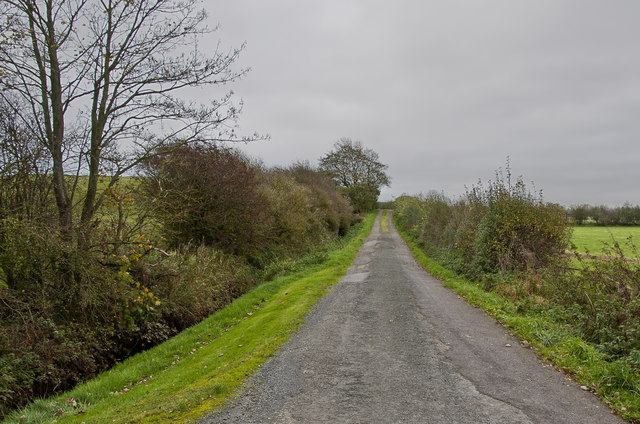
Nateby Moss
Downs, Moorland in Lancashire Wyre
England
Nateby Moss
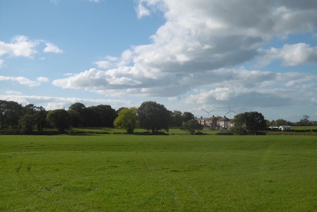
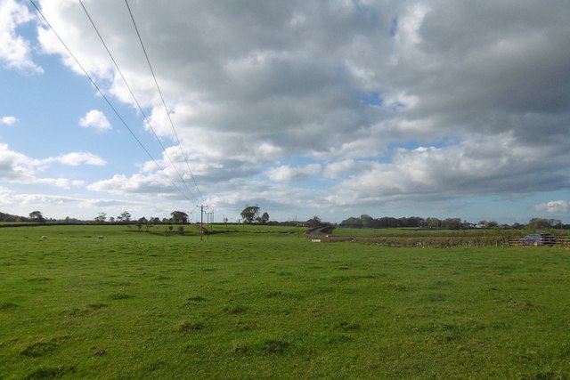
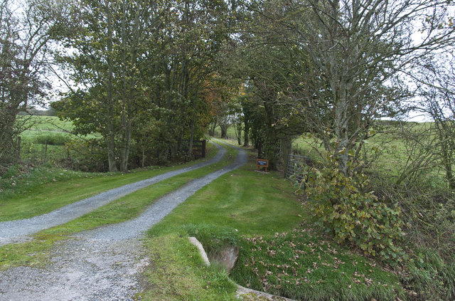
Nateby Moss is a picturesque area located in Lancashire, England, known for its stunning downs, moorland, and natural beauty. Situated in the heart of the Forest of Bowland Area of Outstanding Natural Beauty, it offers visitors a tranquil and serene escape from the hustle and bustle of daily life.
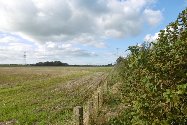
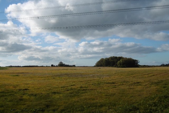
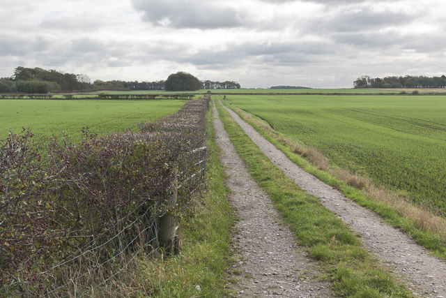
The moss itself is a captivating natural feature, characterized by its wet and marshy terrain, covered in a variety of mosses and vegetation. This unique landscape attracts a diverse array of wildlife, including rare bird species like the hen harrier and merlin, making it a popular destination for birdwatchers and nature enthusiasts.
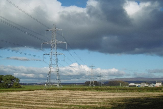
The area's downs and moorland are a sight to behold, with vast expanses of rolling hills and heather-covered slopes stretching as far as the eye can see. The views from these elevated areas are truly awe-inspiring, offering uninterrupted panoramas of the surrounding countryside.
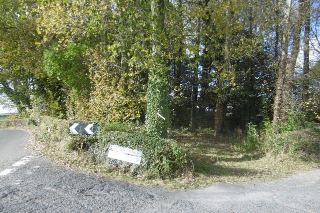
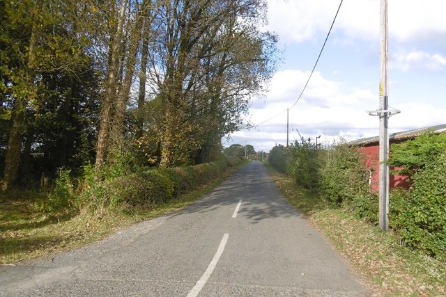
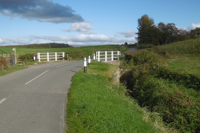
Nateby Moss is also home to a number of walking trails and paths, providing visitors with the opportunity to explore the area on foot. These trails take you through ancient woodlands, across babbling brooks, and up steep inclines, rewarding you with breathtaking views at every turn.
For those seeking a peaceful retreat, Nateby Moss offers a range of accommodation options, from cozy cottages to charming bed and breakfasts. Additionally, there are several local pubs and restaurants where visitors can savor traditional Lancashire cuisine and sample local delicacies.
In short, Nateby Moss is a hidden gem in Lancashire, offering visitors a chance to immerse themselves in the natural wonders of this enchanting landscape. Whether you are seeking adventure or simply a moment of tranquility, this area has something to offer everyone.
If you have any feedback on the listing, please let us know in the comments section below.
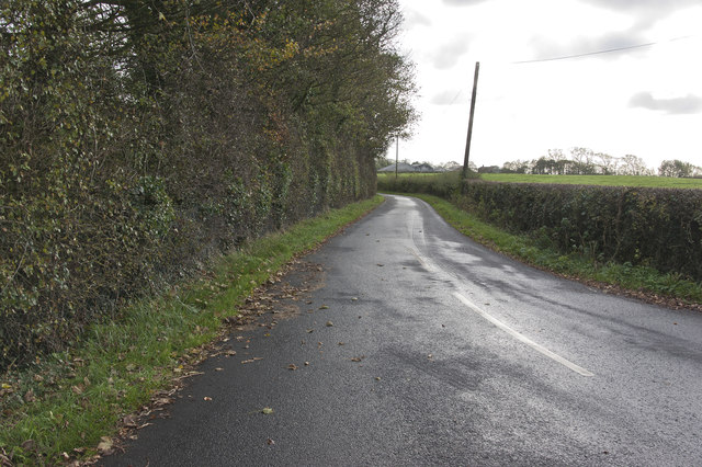
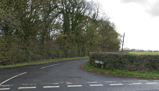
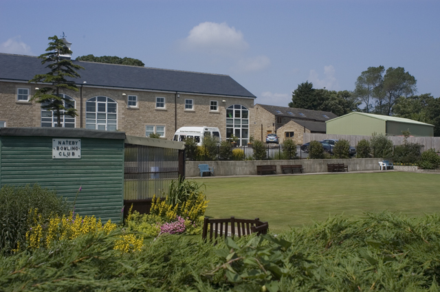
Nateby Moss Images
Images are sourced within 2km of 53.906665/-2.8376234 or Grid Reference SD4545. Thanks to Geograph Open Source API. All images are credited.


Nateby Moss is located at Grid Ref: SD4545 (Lat: 53.906665, Lng: -2.8376234)
Administrative County: Lancashire
District: Wyre
Police Authority: Lancashire
What 3 Words
///atoms.sudden.hopefully. Near Garstang, Lancashire
Nearby Locations
Related Wikis

Nateby railway station
Nateby railway station served the village Nateby in Lancashire, England. It was originally named Winmarleigh railway station after the landowner at that...

Cogie Hill railway station
Cogie Hill railway station, also known as Cogie Hill Halt railway station and Cogie Hill Crossing railway station served the village of Winmarleigh, Lancashire...
Nateby, Lancashire
Nateby is a village and a civil parish in the Wyre district, in the English county of Lancashire near the town of Garstang. Nateby has a primary school...

Borough of Wyre
Wyre is a local government district with borough status on the coast of Lancashire, England. The council is based in Poulton-le-Fylde and the borough also...

Eagland Hill
Eagland Hill is a rural hamlet in the civil parish of Pilling, in the county of Lancashire, England. It lies in a part of the Fylde, west of Garstang,...

Winmarleigh Hall
Winmarleigh Hall is a former country house located to the south of the village of Winmarleigh, Lancashire, England, now operated by PGL as an adventure...

Winmarleigh
Winmarleigh is a village and civil parish of the Borough of Wyre in Lancashire, England. The population taken at the 2011 census was 273. The village,...
St Luke's Church, Winmarleigh
St Luke's Church is in the village of Winmarleigh, Lancashire, England. It is an active Church of England parish church in the Diocese of Blackburn, the...
Related Videos
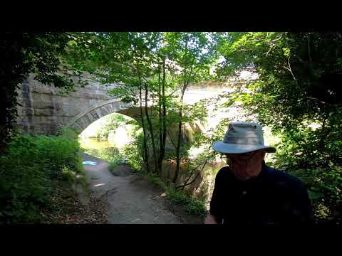
Garstang walking festival 2021 - Crossing the Wyre through history
A presentation by Austen on the engineering marvels that allow the areas canals to cross the river Wyre.
Nearby Amenities
Located within 500m of 53.906665,-2.8376234Have you been to Nateby Moss?
Leave your review of Nateby Moss below (or comments, questions and feedback).