Island Wood
Wood, Forest in Lancashire Wyre
England
Island Wood

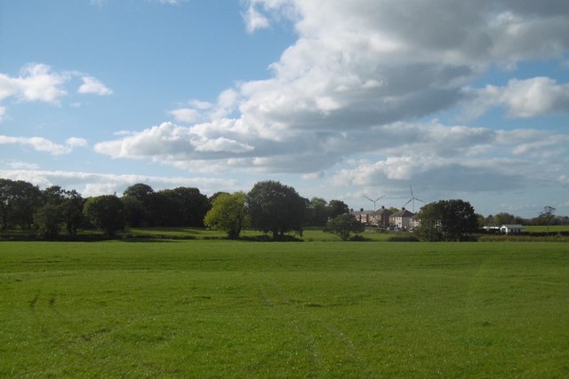
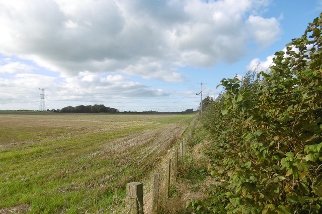
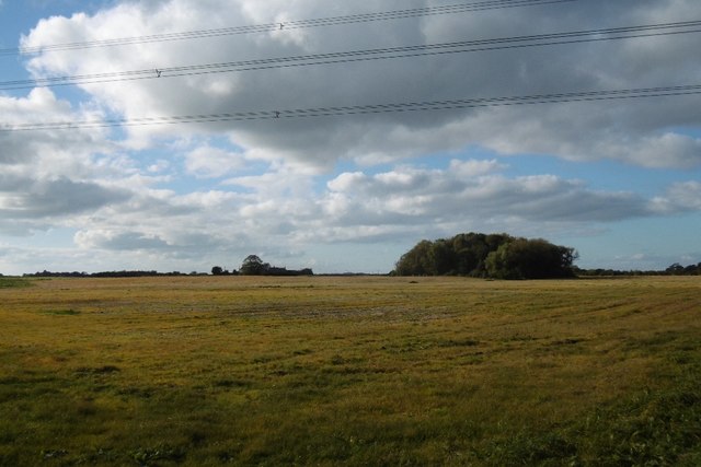
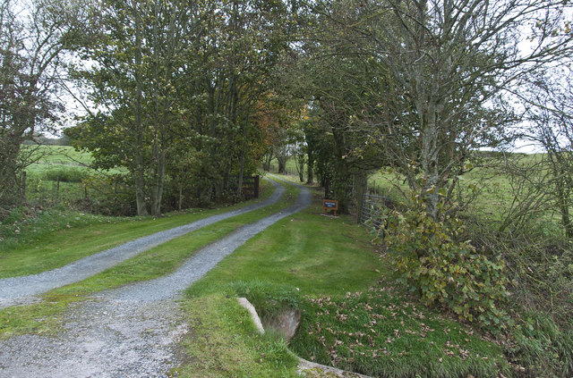
Island Wood, Lancashire, also known as Wood, Forest, is a picturesque woodland located in the county of Lancashire, England. This enchanting forest covers an area of approximately 200 acres, offering visitors a serene and peaceful retreat from the hustle and bustle of city life.
The woodland is predominantly composed of native trees such as oak, birch, and beech, creating a diverse and lush ecosystem. It is home to a wide variety of wildlife, including deer, foxes, rabbits, and a plethora of bird species, making it a haven for nature enthusiasts and birdwatchers.
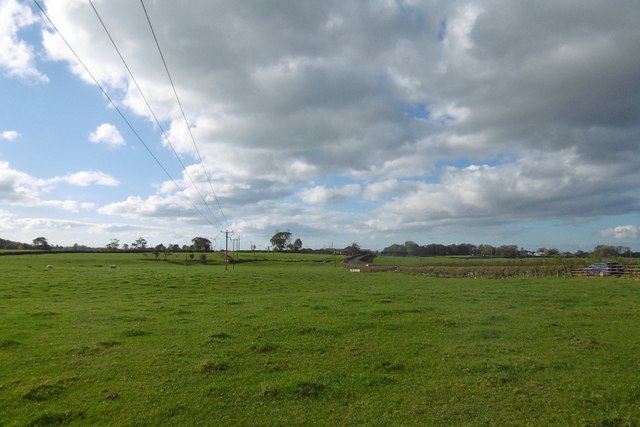
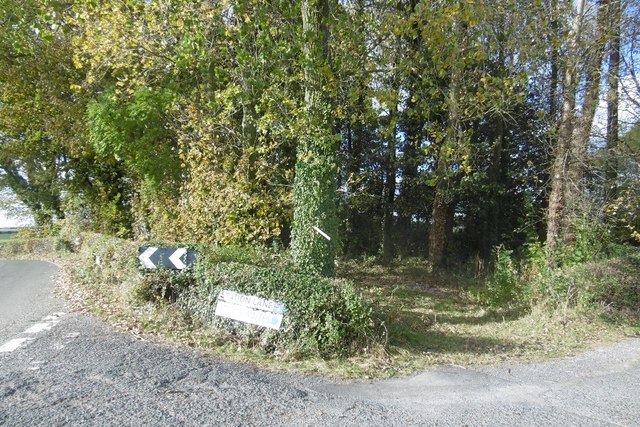
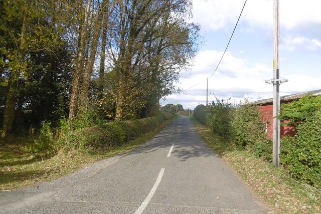
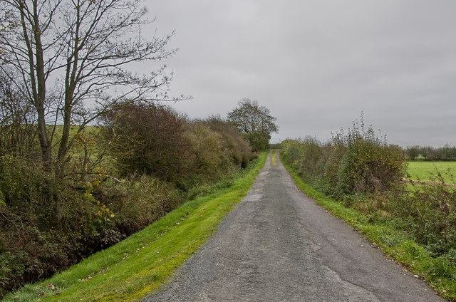
Island Wood is renowned for its well-maintained walking trails, providing visitors with the opportunity to explore the beauty of the forest at their own pace. The trails wind through the dense woodland, offering breathtaking views of the surrounding countryside and allowing visitors to immerse themselves in the tranquility of nature.
Additionally, the woodland features a small lake, providing a charming spot for picnics or a peaceful afternoon of fishing. The lake is teeming with fish, making it a popular destination for anglers of all ages.
Island Wood is also a popular location for outdoor activities such as camping, cycling, and horseback riding. With ample space and facilities available, it attracts both families and outdoor enthusiasts looking for an adventurous getaway.
Overall, Island Wood, Lancashire is a hidden gem that showcases the natural beauty of the region. Its idyllic setting, diverse wildlife, and range of activities make it a must-visit destination for nature lovers and those seeking a peaceful retreat in the heart of Lancashire.
If you have any feedback on the listing, please let us know in the comments section below.
Island Wood Images
Images are sourced within 2km of 53.902388/-2.8257118 or Grid Reference SD4545. Thanks to Geograph Open Source API. All images are credited.


Island Wood is located at Grid Ref: SD4545 (Lat: 53.902388, Lng: -2.8257118)
Administrative County: Lancashire
District: Wyre
Police Authority: Lancashire
What 3 Words
///milky.rhino.fell. Near Garstang, Lancashire
Nearby Locations
Related Wikis

Nateby railway station
Nateby railway station served the village Nateby in Lancashire, England. It was originally named Winmarleigh railway station after the landowner at that...
Nateby, Lancashire
Nateby is a village and a civil parish in the Wyre district, in the English county of Lancashire near the town of Garstang. Nateby has a primary school...

Borough of Wyre
Wyre is a local government district with borough status on the coast of Lancashire, England. The council is based in Poulton-le-Fylde and the borough also...

Cogie Hill railway station
Cogie Hill railway station, also known as Cogie Hill Halt railway station and Cogie Hill Crossing railway station served the village of Winmarleigh, Lancashire...

Winmarleigh Hall
Winmarleigh Hall is a former country house located to the south of the village of Winmarleigh, Lancashire, England, now operated by PGL as an adventure...

Winmarleigh
Winmarleigh is a village and civil parish of the Borough of Wyre in Lancashire, England. The population taken at the 2011 census was 273. The village,...

Eagland Hill
Eagland Hill is a rural hamlet in the civil parish of Pilling, in the county of Lancashire, England. It lies in a part of the Fylde, west of Garstang,...
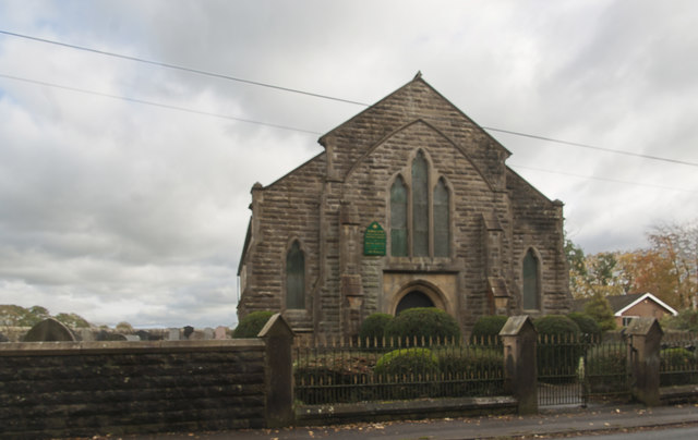
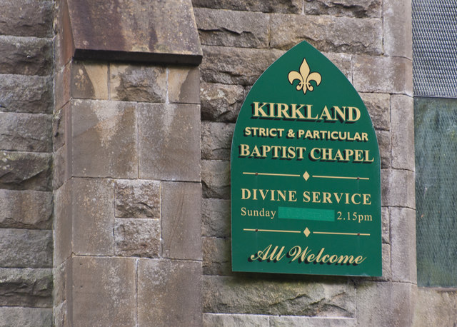
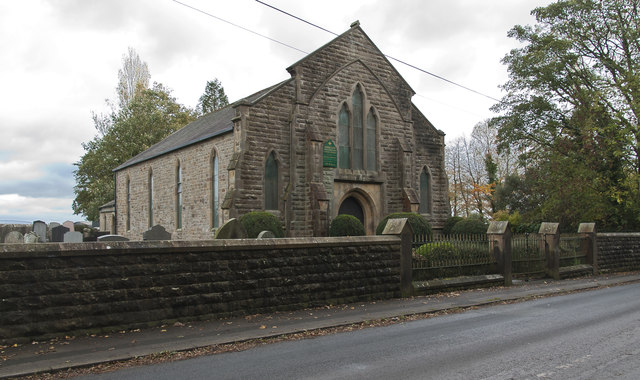
St Luke's Church, Winmarleigh
St Luke's Church is in the village of Winmarleigh, Lancashire, England. It is an active Church of England parish church in the Diocese of Blackburn, the...
Nearby Amenities
Located within 500m of 53.902388,-2.8257118Have you been to Island Wood?
Leave your review of Island Wood below (or comments, questions and feedback).