Nickytom Woods
Wood, Forest in Lancashire Wyre
England
Nickytom Woods

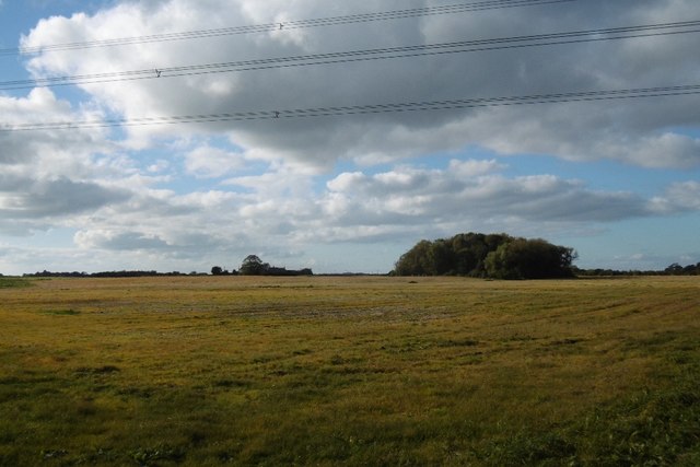
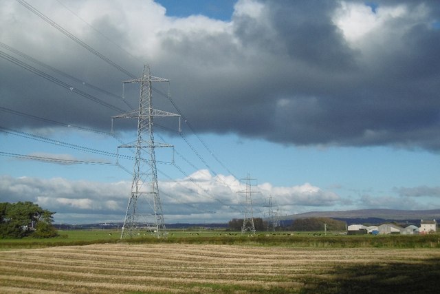
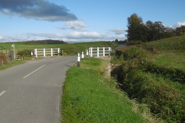
Nickytom Woods is a small village located in the county of Lancashire, England. Situated near the town of Lancaster, it falls within the Forest of Bowland Area of Outstanding Natural Beauty. The village is nestled amidst a picturesque landscape of rolling hills, dense woodland, and meandering streams, offering a serene and tranquil atmosphere.
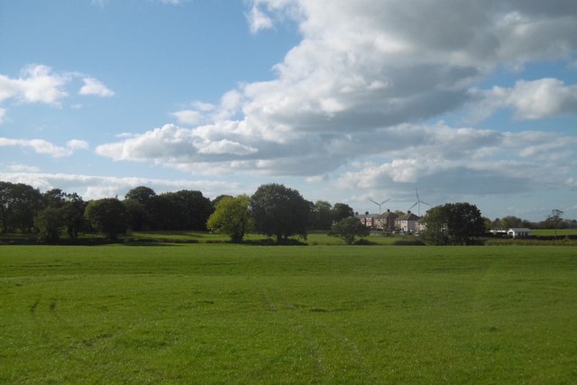
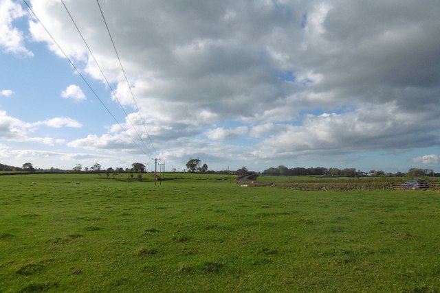
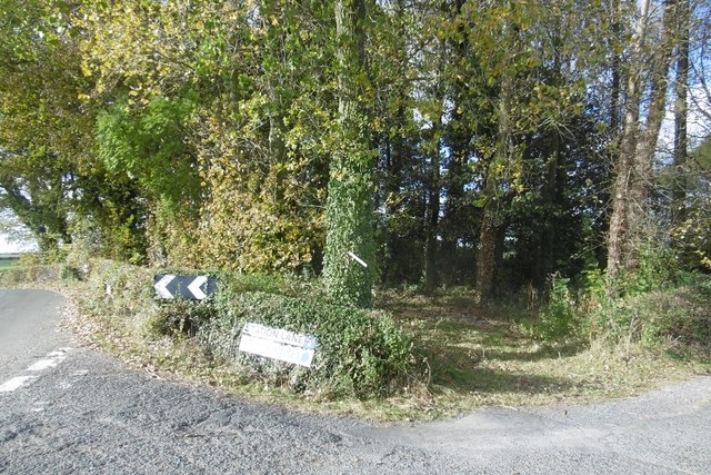
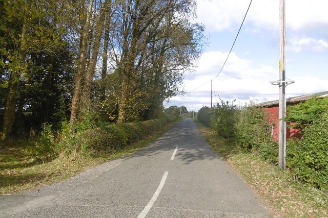
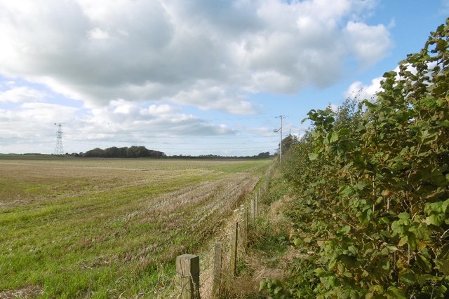
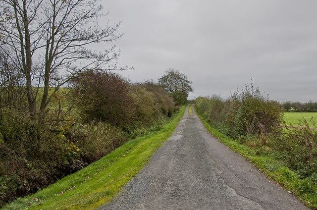
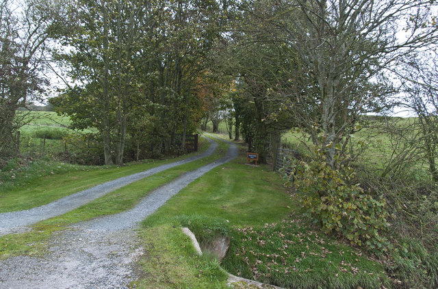
Nickytom Woods is known for its abundant woodlands, which have been preserved and protected for generations. The dense forest cover provides a habitat for various species of flora and fauna, attracting nature enthusiasts and wildlife lovers. Visitors can indulge in activities such as hiking, birdwatching, and nature photography while exploring the enchanting woodland trails.
Despite its small size, the village boasts a strong sense of community. Residents take pride in their close-knit neighborhood and often organize local events and activities to bring people together. The village pub, The Woodland Inn, serves as a focal point for social gatherings and offers a warm and friendly atmosphere.
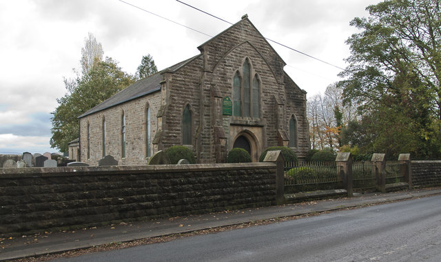
Nickytom Woods is also steeped in history, with evidence of human settlement dating back centuries. The area is home to several ancient monuments and landmarks, including a medieval church and a historic manor house. These historical sites add to the charm and character of the village, attracting history enthusiasts and architecture aficionados.
In summary, Nickytom Woods is a charming village in Lancashire, renowned for its beautiful woodlands, sense of community, and rich history. It provides a perfect retreat for those seeking a peaceful and idyllic countryside experience.
If you have any feedback on the listing, please let us know in the comments section below.
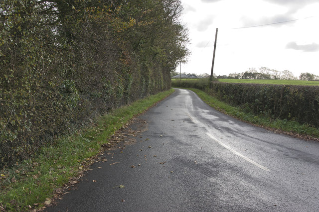
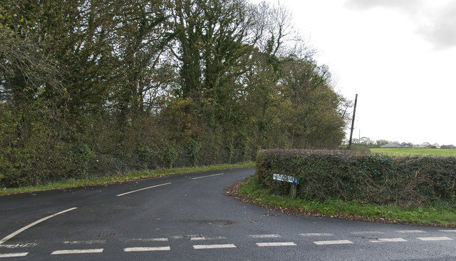
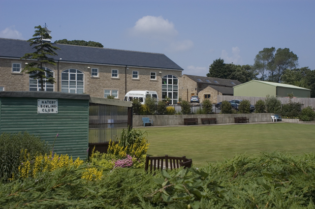
Nickytom Woods Images
Images are sourced within 2km of 53.90517/-2.830196 or Grid Reference SD4545. Thanks to Geograph Open Source API. All images are credited.


Nickytom Woods is located at Grid Ref: SD4545 (Lat: 53.90517, Lng: -2.830196)
Administrative County: Lancashire
District: Wyre
Police Authority: Lancashire
What 3 Words
///award.disarmed.deals. Near Garstang, Lancashire
Nearby Locations
Related Wikis

Nateby railway station
Nateby railway station served the village Nateby in Lancashire, England. It was originally named Winmarleigh railway station after the landowner at that...
Nateby, Lancashire
Nateby is a village and a civil parish in the Wyre district, in the English county of Lancashire near the town of Garstang. Nateby has a primary school...

Borough of Wyre
Wyre is a local government district with borough status on the coast of Lancashire, England. The council is based in Poulton-le-Fylde and the borough also...

Cogie Hill railway station
Cogie Hill railway station, also known as Cogie Hill Halt railway station and Cogie Hill Crossing railway station served the village of Winmarleigh, Lancashire...

Winmarleigh Hall
Winmarleigh Hall is a former country house located to the south of the village of Winmarleigh, Lancashire, England, now operated by PGL as an adventure...

Winmarleigh
Winmarleigh is a village and civil parish of the Borough of Wyre in Lancashire, England. The population taken at the 2011 census was 273. The village,...

Eagland Hill
Eagland Hill is a rural hamlet in the civil parish of Pilling, in the county of Lancashire, England. It lies in a part of the Fylde, west of Garstang,...
St Luke's Church, Winmarleigh
St Luke's Church is in the village of Winmarleigh, Lancashire, England. It is an active Church of England parish church in the Diocese of Blackburn, the...
Nearby Amenities
Located within 500m of 53.90517,-2.830196Have you been to Nickytom Woods?
Leave your review of Nickytom Woods below (or comments, questions and feedback).