Muir of Holmie

Downs, Moorland in Banffshire

Scotland

Muir of Holmie

Clochan Sculpture Peter Naylor sculpture commemorating the Women's Land Army Scotland. Unveiled by Prince Charles in 2012
Clochan Sculpture Credit: Brian Stern

Muir of Holmie is a picturesque area located in Banffshire, Scotland, known for its stunning downs and moorland landscapes. Stretching over a vast expanse of approximately 200 acres, Muir of Holmie offers visitors a unique opportunity to immerse themselves in the natural beauty of the Scottish countryside.

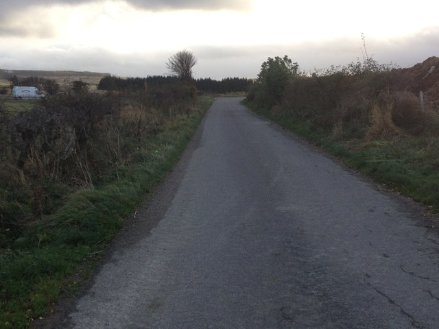
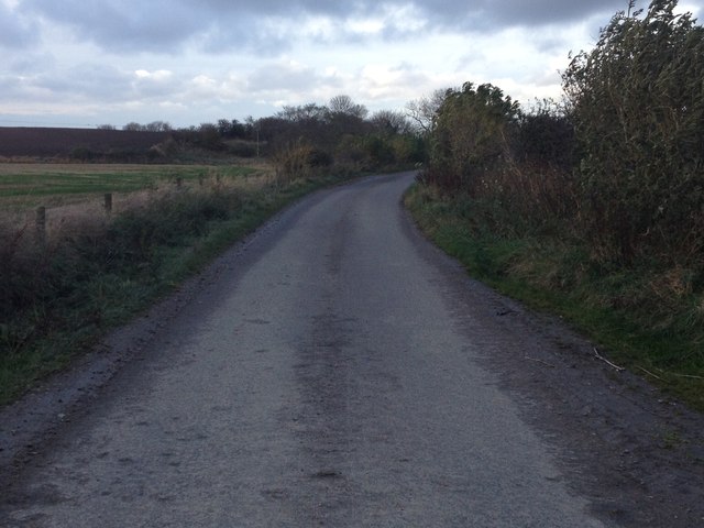
The downs of Muir of Holmie are characterized by gently rolling hills covered in lush green grasses and dotted with vibrant wildflowers during the warmer months. These downs provide a serene atmosphere, perfect for leisurely walks or picnics amidst nature. Visitors can enjoy breathtaking panoramic views of the surrounding countryside, with distant hills and mountains adding to the overall charm of the area.

The moorland of Muir of Holmie is a haven for wildlife enthusiasts, as it is home to a diverse range of flora and fauna. The heather-covered moorland provides a habitat for various bird species, including curlews, lapwings, and skylarks, making it an ideal spot for birdwatching. Hiking trails crisscross the moorland, allowing visitors to explore the area and discover its hidden treasures.

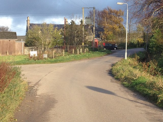
Despite its secluded location, Muir of Holmie is easily accessible by road, with ample parking available for visitors. A small visitor center provides information about the local flora and fauna, as well as maps of the walking trails. The area is well-maintained, with paths regularly cleared and signposted for the convenience and safety of visitors.

In conclusion, Muir of Holmie in Banffshire offers a tranquil escape into the natural beauty of downs and moorland landscapes. Whether it's a leisurely stroll or an adventurous hike, visitors are sure to be captivated by the breathtaking scenery and abundant wildlife that this area has to offer.

If you have any feedback on the listing, please let us know in the comments section below.

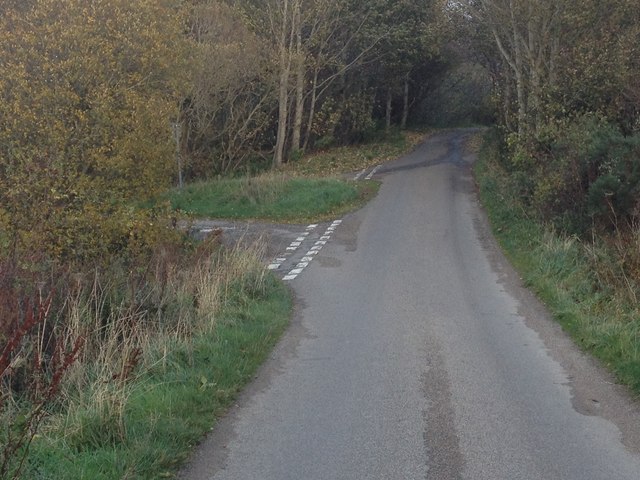
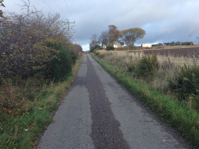
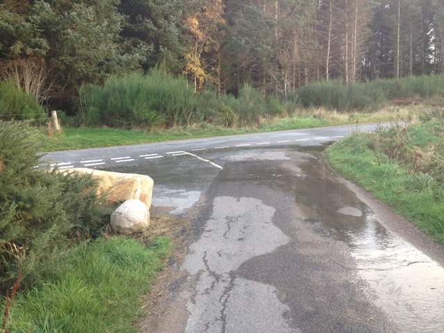
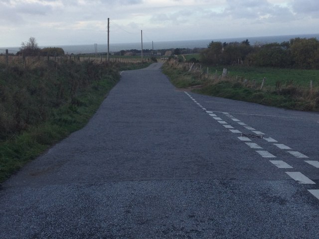
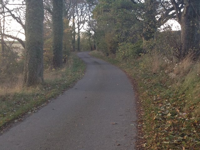
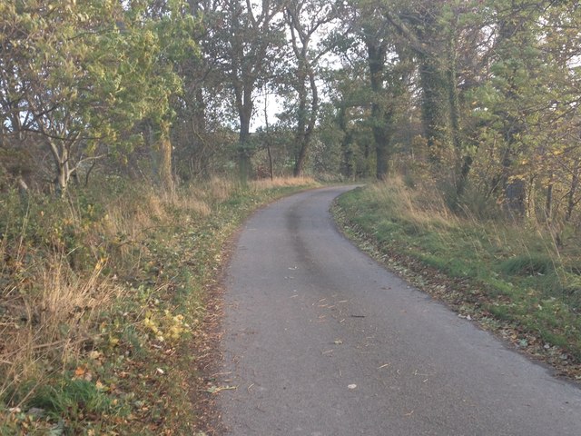
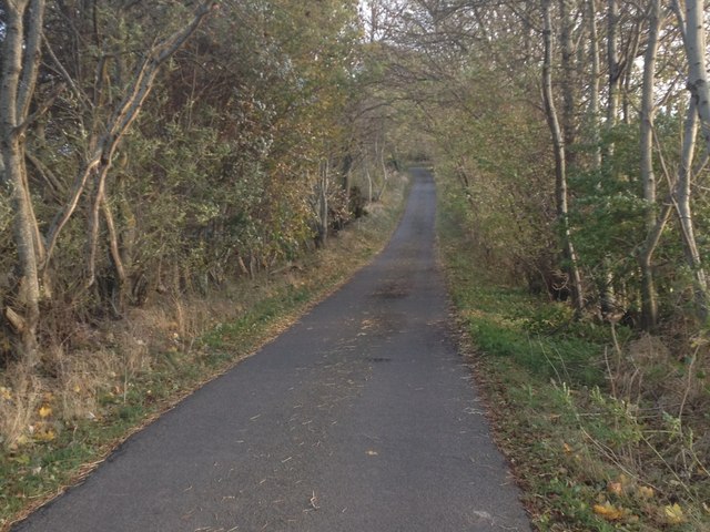
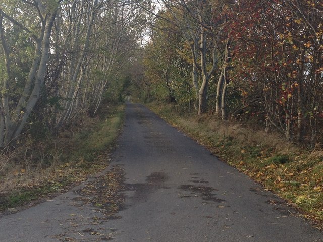
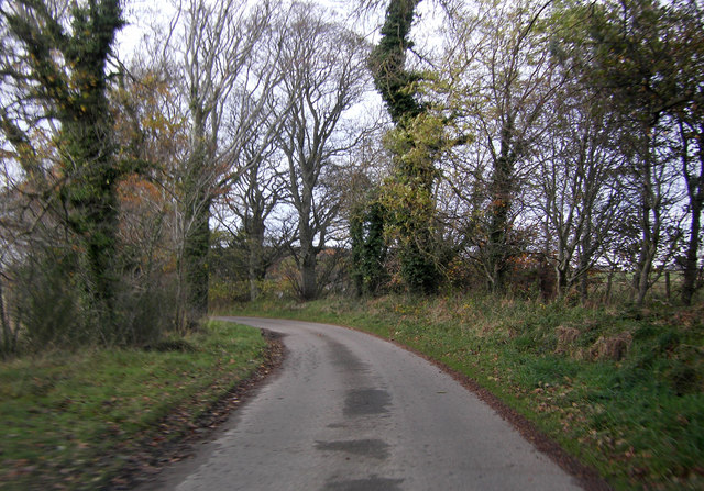
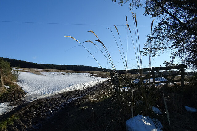
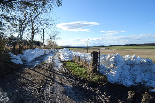
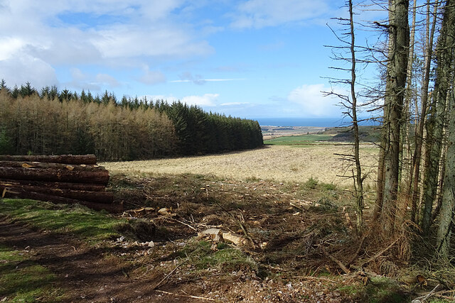
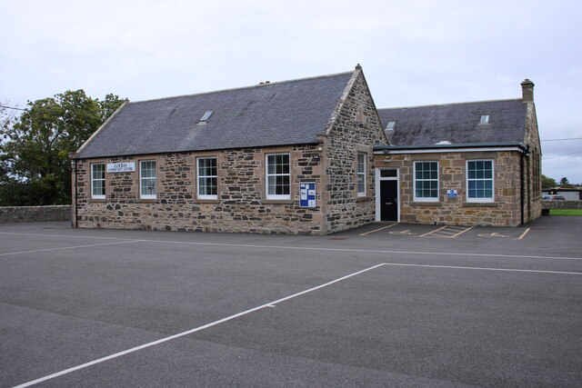
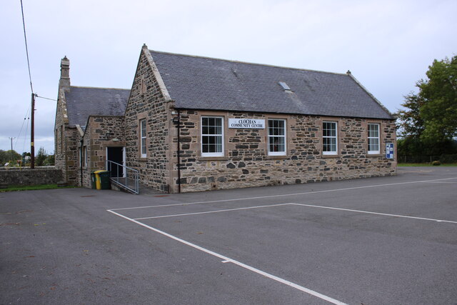
Muir of Holmie Images

Images are sourced within 2km of 57.636719/-2.9789639 or Grid Reference NJ4161. Thanks to Geograph Open Source API. All images are credited.

Clochan Sculpture Peter Naylor sculpture commemorating the Women's Land Army Scotland. Unveiled by Prince Charles in 2012
Clochan Sculpture
Peter Naylor sculpture commemorating the Women's Land Army Scotland. Unveiled by Prince Charles in 2012
Minor road at Clochan
Minor road near Clochan
Road junction near Holmie
Minor road near Drybridge
Road junction near Hillpark
Road junctions near Drybridge
Minor road near Enzie
Minior road near Cairnfield Estate
Minor road near Cairnfield Estate
Minor road near Wester Bogs
Snow on the Field A bank of snow is lingering at the entrance to this field at Buinnach.
Snow on the Field
A bank of snow is lingering at the entrance to this field at Buinnach.
Road to Berrybauds The occupants have had to dig their way out through several deep drifts of blown snow.
Road to Berrybauds
The occupants have had to dig their way out through several deep drifts of blown snow.
View Through a Gap The narrow strip of trees in the foreground has been felled, opening up a view down to the coast at Portgordon.
View Through a Gap
The narrow strip of trees in the foreground has been felled, opening up a view down to the coast at Portgordon.
Clochan Community Centre Former village school in Clochan.
Clochan Community Centre
Former village school in Clochan.
Clochan Community Centre The old school playground looks much smarter than it did a few years ago <a href="https://www.geograph.org.uk/photo/5552860">NJ4060 : Clochan Community Centre</a>.
Clochan Community Centre
The old school playground looks much smarter than it did a few years ago NJ4060 : Clochan Community Centre.
Show me another place!

Muir of Holmie is located at Grid Ref: NJ4161 (Lat: 57.636719, Lng: -2.9789639)

Unitary Authority: Moray

Police Authority: North East

What 3 Words

///bandaged.gently.workroom. Near Buckie, Moray

Related Wikis

Enzie railway station

Enzie railway station was a station which served the hamlet of Enzie, in the Scottish county of Moray. It was served by trains on the Buckie and Portessie...

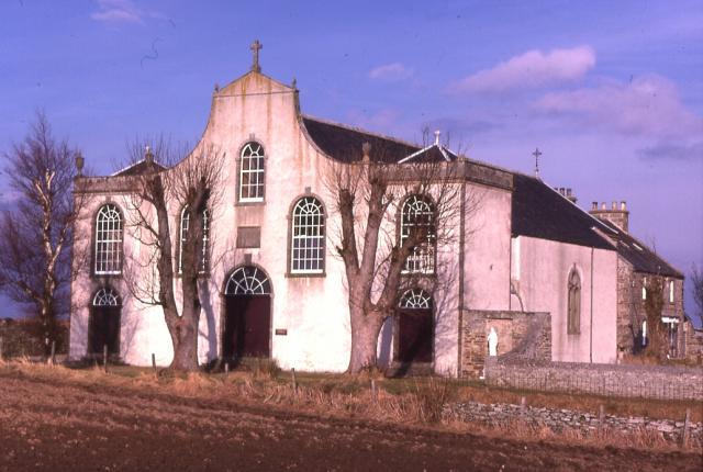
St Gregory's Church, Preshome

St. Gregory's Church is a Roman Catholic church at Preshome near Buckie in north-east Scotland. It is protected as a category A listed building.Built...

Arradoul

Arradoul is a small village in Scotland, in the traditional county of Banffshire, and in the Moray council area. It is a ribbon settlement on the south...

Craigmin Bridge

Craigmin Bridge is an eighteenth century bridge within the grounds of Letterfourie House, in Moray, Scotland. Spanning the Burn of Letterfourie, it once...

Nearby Amenities

Located within 500m of 57.636719,-2.9789639
Power: pole
Lat/Long: 57.6351382/-2.9800673
Power: pole
Lat/Long: 57.6377869/-2.98034
Power: pole
Lat/Long: 57.6336003/-2.9799199
Power: pole
Lat/Long: 57.6402263/-2.9785354
Power: pole
Lat/Long: 57.6393484/-2.9805108
Power: pole
Lat/Long: 57.6365141/-2.9801868
Power: pole
Lat/Long: 57.6350593/-2.9800605
Power: pole
Lat/Long: 57.6369374/-2.9870223
Power: pole
Lat/Long: 57.6372875/-2.9858941
Power: pole
Lat/Long: 57.6380434/-2.9859345
Power: pole
Lat/Long: 57.6386626/-2.9859496
Power: pole
Lat/Long: 57.640097/-2.9803324
Power: pole
Lat/Long: 57.6405353/-2.9809663
Power: pole
Lat/Long: 57.6393708/-2.9759241
Power: pole
Lat/Long: 57.6395823/-2.9767647
Power: pole
Lat/Long: 57.6398486/-2.9778122
Power: pole
Lat/Long: 57.6401519/-2.9790109
Power: pole
Lat/Long: 57.6400601/-2.9816236
Power: pole
Lat/Long: 57.6400115/-2.9828779
Power: pole
Lat/Long: 57.6399854/-2.983616
Power: pole
Lat/Long: 57.6396316/-2.9847957
Power: pole
Lat/Long: 57.6331204/-2.9742214
Power: pole
Lat/Long: 57.6338126/-2.9746291
Power: pole
Lat/Long: 57.6342525/-2.9748877
Power: pole
Lat/Long: 57.6345341/-2.9750367
Power: pole
Lat/Long: 57.6351946/-2.9753961
Power: pole
Lat/Long: 57.6359478/-2.9758103
Power: pole
Lat/Long: 57.636654/-2.9762355
Power: pole
Lat/Long: 57.6373825/-2.9766387
Power: pole
Lat/Long: 57.6379127/-2.9769346
Power: pole
Lat/Long: 57.6391127/-2.9776118
Power: pole
Lat/Long: 57.6339979/-2.9758454
Power: pole
Lat/Long: 57.633741/-2.9768009
Power: pole
Lat/Long: 57.6334806/-2.9777893
Power: pole
Lat/Long: 57.633226/-2.978712
Power: pole
Lat/Long: 57.6329667/-2.9797267
Power: pole
Lat/Long: 57.6396007/-2.9739683
Power: pole
Lat/Long: 57.6391491/-2.9750707
The data included in this document is from www.openstreetmap.org. The data is made available under ODbL.

Have you been to Muir of Holmie?

Leave your review of Muir of Holmie below (or comments, questions and feedback).