Oran

Settlement in Banffshire

Scotland

Oran

Approaching site of Enzie station in Burn of Tynet valley Believe it or not, a branch of the Highland Railway was built in 1885 along this valley from Keith to Portessie, on the border between Morayshire and Banffshire. It carried no traffic after August 1915, but the line was not taken up until 1937. So I had to take this photograph, in the pouring rain in the back of nowhere.
Approaching site of Enzie station in Burn of Tynet valley Credit: Ben Brooksbank

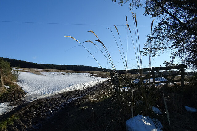
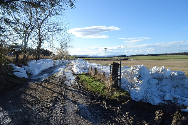
Oran is a small village located in the region of Banffshire, Scotland. Situated on the northeastern coast of the country, it is nestled between the Moray Firth and the Grampian Mountains. With a population of around 400 residents, Oran offers a peaceful and picturesque setting for both locals and visitors.

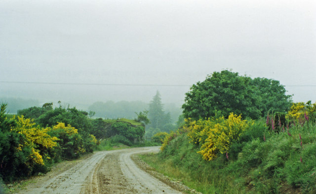
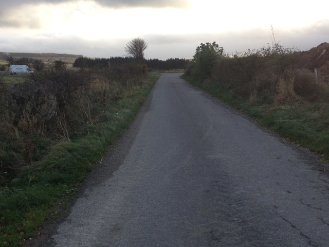
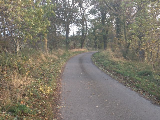
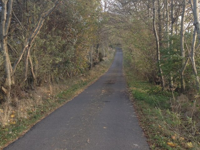
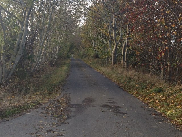
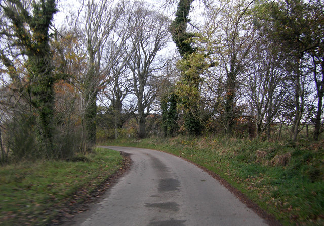
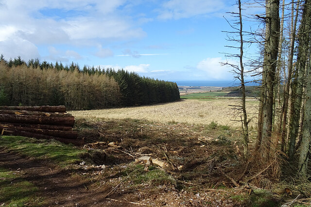
The village is known for its stunning natural beauty, with breathtaking views of the sea and surrounding countryside. The rugged coastline provides opportunities for scenic walks and birdwatching, while the nearby mountains offer hiking and climbing adventures for outdoor enthusiasts.

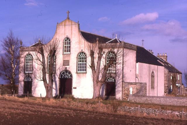
Oran has a rich historical heritage, with several notable landmarks and buildings. The St. Clement's Church, a beautiful 18th-century structure, stands as a prominent feature of the village. The church's architecture and stained glass windows are of particular interest to visitors.

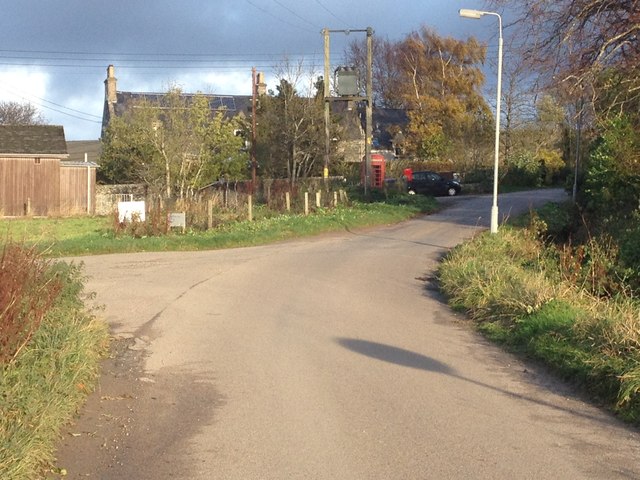
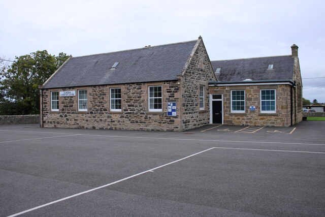
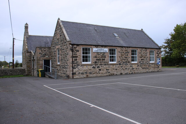
In terms of amenities, Oran has a few local shops and businesses that cater to the needs of the community. There is a small primary school, which serves the village and surrounding areas.

The village hosts several community events throughout the year, including a summer fair and a Christmas market. These events bring residents together and attract tourists from nearby towns.

Overall, Oran is a scenic and tranquil village that offers a peaceful escape from the hustle and bustle of city life. Its natural beauty, rich history, and strong sense of community make it an attractive destination for those seeking a slower pace of life.

If you have any feedback on the listing, please let us know in the comments section below.
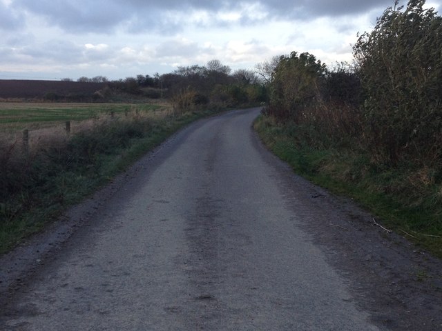
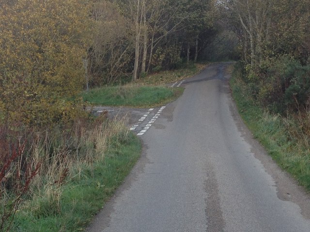
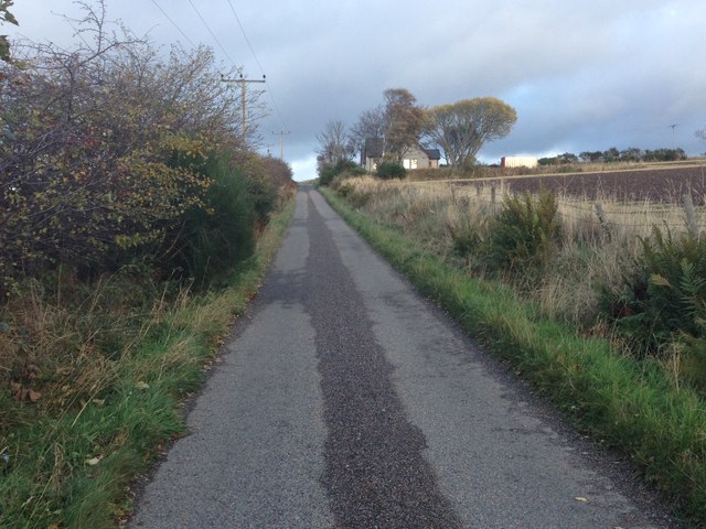
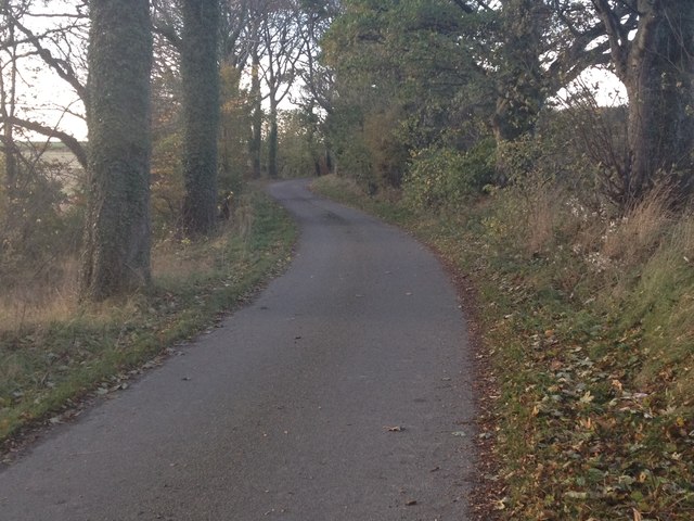
Oran Images

Images are sourced within 2km of 57.635063/-2.9897723 or Grid Reference NJ4161. Thanks to Geograph Open Source API. All images are credited.

Approaching site of Enzie station in Burn of Tynet valley Believe it or not, a branch of the Highland Railway was built in 1885 along this valley from Keith to Portessie, on the border between Morayshire and Banffshire. It carried no traffic after August 1915, but the line was not taken up until 1937. So I had to take this photograph, in the pouring rain in the back of nowhere.
Approaching site of Enzie station in Burn of Tynet valley
Believe it or not, a branch of the Highland Railway was built in 1885 along this valley from Keith to Portessie, on the border between Morayshire and Banffshire. It carried no traffic after August 1915, but the line was not taken up until 1937. So I had to take this photograph, in the pouring rain in the back of nowhere.
Clochan Sculpture Peter Naylor sculpture commemorating the Women's Land Army Scotland. Unveiled by Prince Charles in 2012
Clochan Sculpture
Peter Naylor sculpture commemorating the Women's Land Army Scotland. Unveiled by Prince Charles in 2012
Minor road at Clochan
Minor road near Clochan
Road junction near Holmie
Minor road near Drybridge
Minor road near Enzie
Minior road near Cairnfield Estate
Minor road near Cairnfield Estate
Minor road near Wester Bogs
Snow on the Field A bank of snow is lingering at the entrance to this field at Buinnach.
Snow on the Field
A bank of snow is lingering at the entrance to this field at Buinnach.
Road to Berrybauds The occupants have had to dig their way out through several deep drifts of blown snow.
Road to Berrybauds
The occupants have had to dig their way out through several deep drifts of blown snow.
View Through a Gap The narrow strip of trees in the foreground has been felled, opening up a view down to the coast at Portgordon.
View Through a Gap
The narrow strip of trees in the foreground has been felled, opening up a view down to the coast at Portgordon.
Ukrainian Flag Flying outside Woodlea at Enzie Slackhead.
Ukrainian Flag
Flying outside Woodlea at Enzie Slackhead.
Clochan Community Centre Former village school in Clochan.
Clochan Community Centre
Former village school in Clochan.
Clochan Community Centre The old school playground looks much smarter than it did a few years ago <a href="https://www.geograph.org.uk/photo/5552860">NJ4060 : Clochan Community Centre</a>.
Clochan Community Centre
The old school playground looks much smarter than it did a few years ago NJ4060 : Clochan Community Centre.
Show me another place!

Oran is located at Grid Ref: NJ4161 (Lat: 57.635063, Lng: -2.9897723)

Unitary Authority: Moray

Police Authority: North East

What 3 Words

///move.remain.dialects. Near Buckie, Moray

Related Wikis

Enzie railway station

Enzie railway station was a station which served the hamlet of Enzie, in the Scottish county of Moray. It was served by trains on the Buckie and Portessie...

St Gregory's Church, Preshome

St. Gregory's Church is a Roman Catholic church at Preshome near Buckie in north-east Scotland. It is protected as a category A listed building. Built...

Arradoul

Arradoul is a small village in Scotland, in the traditional county of Banffshire, and in the Moray council area. It is a ribbon settlement on the south...

St Ninian's Church, Tynet

St Ninian's Church, Tynet is a historic Roman Catholic clandestine church located at Tynet about 4 miles to the west of Buckie, Scotland in the Enzie region...

Nearby Amenities

Located within 500m of 57.635063,-2.9897723
Preshome
Place: hamlet
Lat/Long: 57.6387621/-2.9884225
Enzie
Historic Railway: station
Railway: site
Wikidata: Q20712959
Wikipedia: en:Enzie railway station
Lat/Long: 57.6355298/-2.988957
Power: pole
Lat/Long: 57.6333976/-2.990437
Power: pole
Lat/Long: 57.6340313/-2.9902672
Power: pole
Lat/Long: 57.6345821/-2.9897829
Power: pole
Lat/Long: 57.6355136/-2.9885438
Power: pole
Lat/Long: 57.6360644/-2.9881353
Power: pole
Lat/Long: 57.6369374/-2.9870223
Power: pole
Lat/Long: 57.6372875/-2.9858941
Power: pole
Lat/Long: 57.6380434/-2.9859345
Power: pole
Lat/Long: 57.6386626/-2.9859496
Power: pole
Lat/Long: 57.6394419/-2.9879856
Power: pole
Lat/Long: 57.6395292/-2.9891743
Power: pole
Lat/Long: 57.6393042/-2.9903916
Power: pole
Lat/Long: 57.6391026/-2.9914659
Power: pole
Lat/Long: 57.6389145/-2.9925621
Power: pole
Lat/Long: 57.6386617/-2.9938483
Power: pole
Lat/Long: 57.6384745/-2.9949126
Women's Land Army Memorial
Historic: memorial
Memorial: war_memorial
Wikidata: Q114169491
Lat/Long: 57.6359466/-2.9945173
Board Type: history
Information: board
Tourism: information
Lat/Long: 57.635719/-2.994329
Bench
Backrest: yes
Lat/Long: 57.6359433/-2.9943672
The data included in this document is from www.openstreetmap.org. The data is made available under ODbL.

Have you been to Oran?

Leave your review of Oran below (or comments, questions and feedback).