Openwoodgate
Settlement in Derbyshire Amber Va
England
Openwoodgate

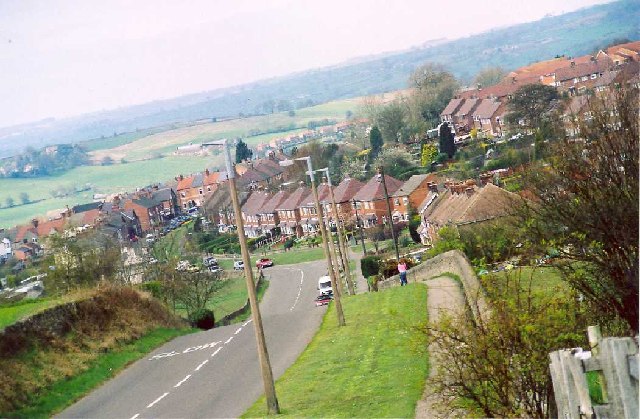
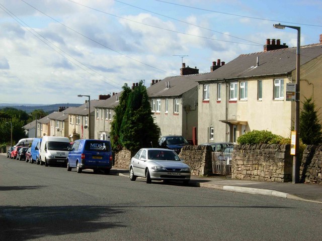
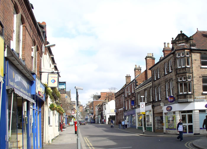
Openwoodgate is a small village located in the county of Derbyshire, England. Situated in the Amber Valley district, it is nestled in the heart of the picturesque countryside, offering breathtaking views of rolling hills and lush green fields. The village is approximately 4 miles northeast of Belper and 10 miles north of Derby, making it a convenient location for both rural living and easy access to nearby towns.
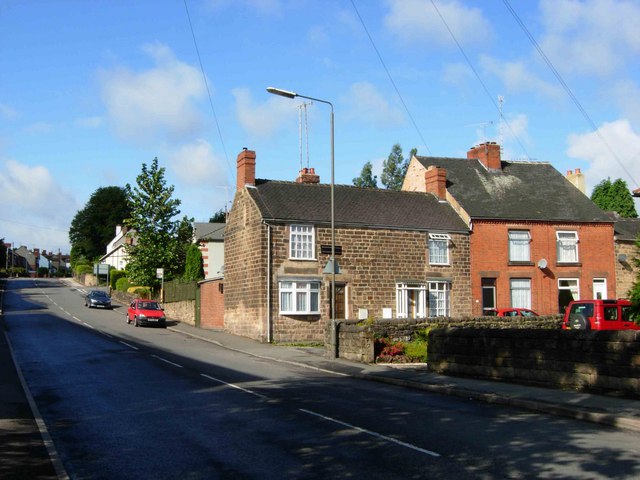
Openwoodgate is known for its peaceful and close-knit community, providing residents with a tranquil and friendly environment. The village is primarily residential, consisting of traditional stone cottages and modern houses that blend harmoniously with the natural surroundings.
Despite its small size, Openwoodgate offers a range of amenities to its residents. The village boasts a village hall that serves as a social hub, hosting various community events and activities throughout the year. Additionally, there is a local primary school, ensuring that families have access to quality education within the village itself.
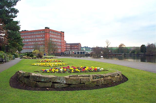
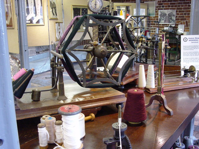
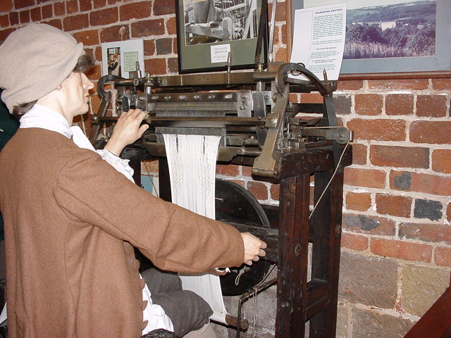
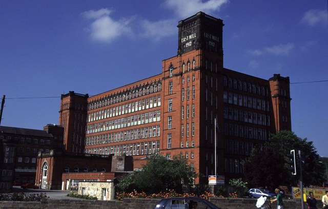
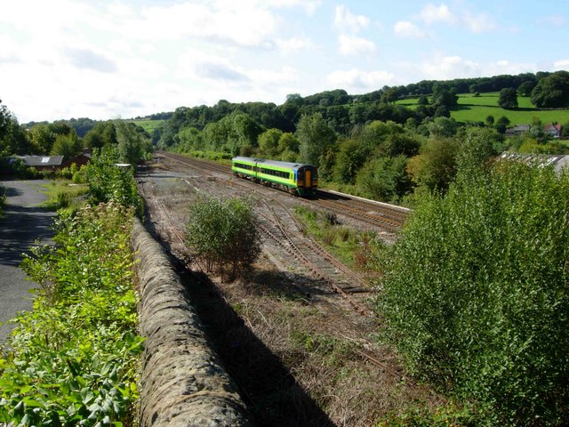
The surrounding area offers numerous opportunities for outdoor activities and exploration. Openwoodgate is surrounded by scenic walking and cycling routes, allowing residents to enjoy the beautiful countryside at their doorstep. The nearby Derwent Valley Mills, a UNESCO World Heritage Site, is also a popular attraction for locals and tourists alike, offering a glimpse into the region's industrial heritage.
Overall, Openwoodgate is a charming village that provides a tranquil and picturesque setting for residents seeking a peaceful countryside lifestyle, while still maintaining accessibility to nearby towns and amenities.
If you have any feedback on the listing, please let us know in the comments section below.
Openwoodgate Images
Images are sourced within 2km of 53.019094/-1.4647968 or Grid Reference SK3647. Thanks to Geograph Open Source API. All images are credited.


Openwoodgate is located at Grid Ref: SK3647 (Lat: 53.019094, Lng: -1.4647968)
Administrative County: Derbyshire
District: Amber Va
Police Authority: Derbyshire
What 3 Words
///initiated.bath.relations. Near Belper, Derbyshire
Nearby Locations
Related Wikis
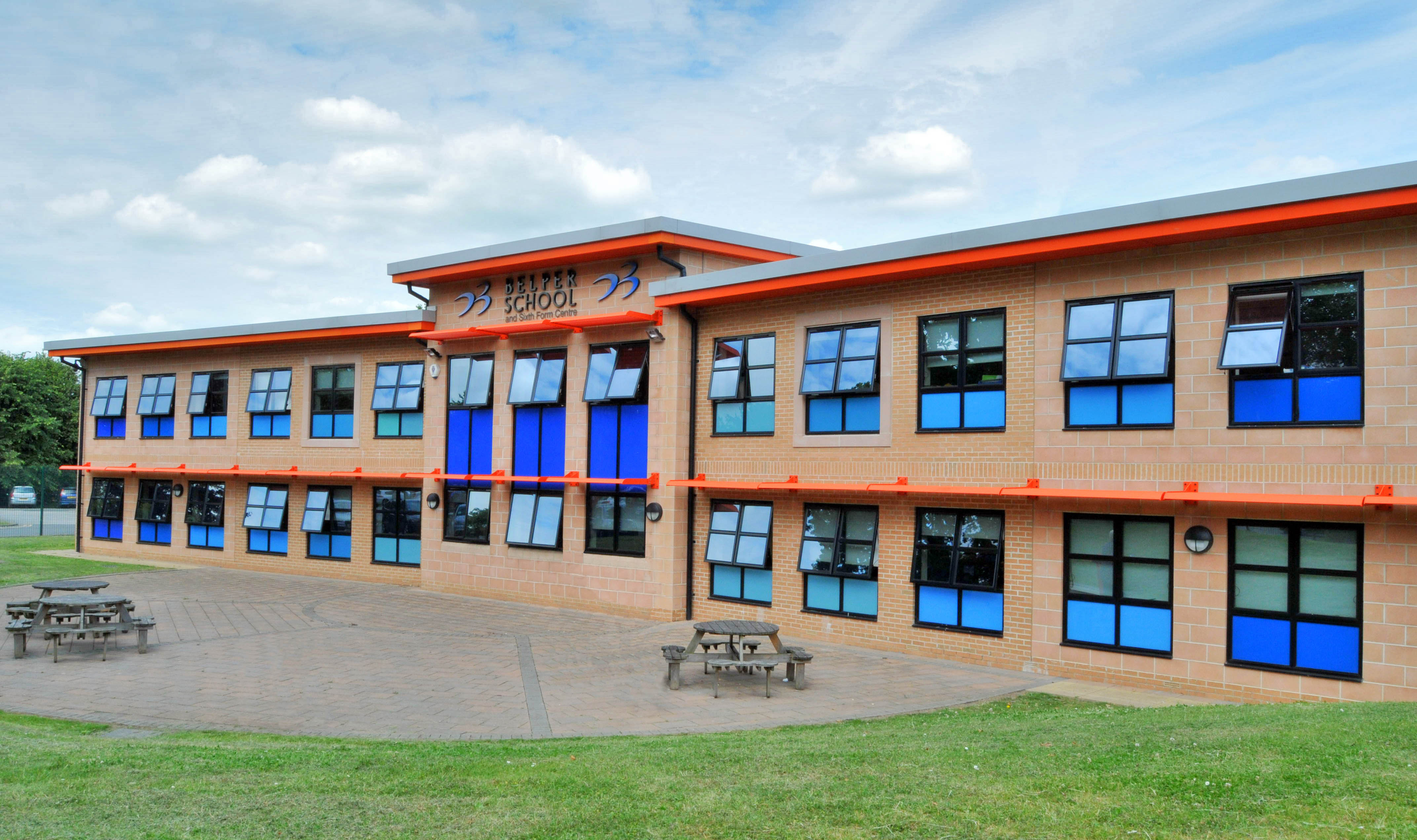
Belper School
Belper School and Sixth Form Centre is a foundation secondary school located in the north-east of Belper, Derbyshire, England. In October 2019, Ofsted...

Rowen House School
Rowen House was an independent British boarding school founded in 1979 in Belper, Derbyshire. The name was not a misspelling, but a reference to the Utopian...

Bargate, Derbyshire
Bargate is a hamlet in Derbyshire, England. It is a linear settlement as it has only one main road running through it: Belper Road which becomes Sandbed...
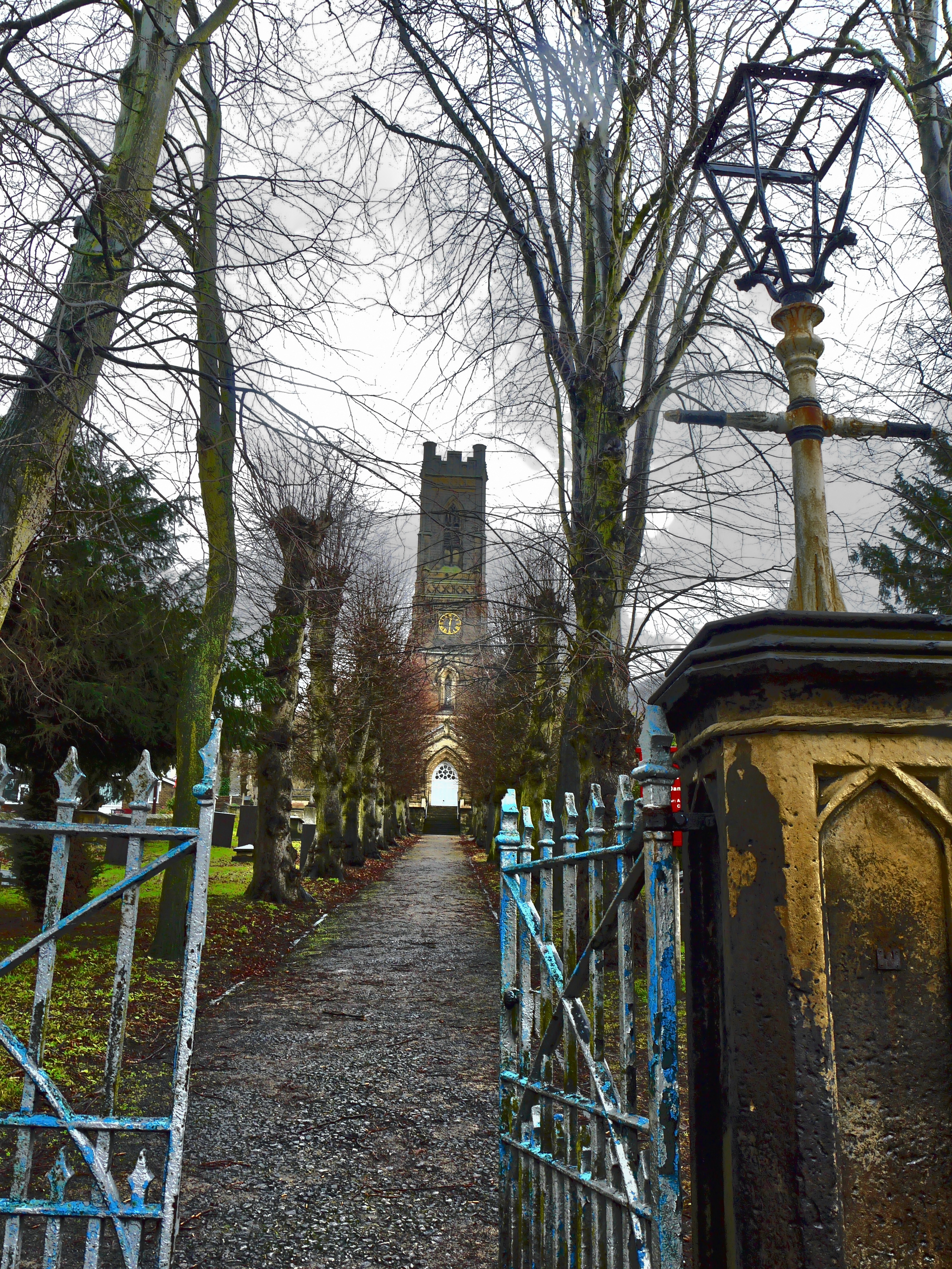
St Peter's Church, Belper
St Peter's Church, Belper is a Grade II listed parish church in the Church of England: 89 in Belper, Derbyshire. == History == The church was built to...
Forest of East Derbyshire
The Forest of East Derbyshire was, in the Middle Ages, an area of wooded heath between the rivers Derwent and the Erewash in Derbyshire. Unlike the Forest...

Belper Congregational Church
Belper Congregational Church is a Grade II listed former congregational chapel on Green Lane in Belper, Derbyshire. == History == It was built to replace...

Belper Urban District
Belper was an Urban District in Derbyshire, England from 1894 to 1974. It was created under the Local Government Act 1894. It was enlarged in 1934 when...
Belper
Belper () is a town and civil parish in the local government district of Amber Valley in Derbyshire, England, located about 7 miles (11 km) north of Derby...
Related Videos
Last minute walk.... #derbyshire #nature #hiking
Last minute late afternoon walk. it was a choice of sat on my backside at home or get some fresh air? I chose fresh air. So got on ...
I Made a Victorian Walking Skirt and It Wasn't Entirely Quick and Easy (An Ode to Perseverence)
Yes, I do still sew too - I'm quite good at it actually - and here it is... a year and a half after actually making and filming this project, ...

![BELPER | A look around Belper, Derbyshire [Is Belper worth visiting?]](https://i.ytimg.com/vi/rivlz0uN_BA/hqdefault.jpg)
BELPER | A look around Belper, Derbyshire [Is Belper worth visiting?]
BELPER | A look around Belper, Derbyshire [town centre walking tour] Is Belper worth visiting? Let's take a look and find out!
Nearby Amenities
Located within 500m of 53.019094,-1.4647968Have you been to Openwoodgate?
Leave your review of Openwoodgate below (or comments, questions and feedback).