Broadfield Common
Downs, Moorland in Cumberland Eden
England
Broadfield Common

Broadfield Common, located in Cumberland, is a picturesque area encompassing downs, moorland, and beautiful countryside. With its diverse landscape and rich natural beauty, it offers visitors a tranquil and idyllic escape from the bustle of city life.
The common is characterized by gently rolling downs, covered in lush green grasses and dotted with wildflowers during the spring and summer months. These downs provide a stunning backdrop for leisurely walks and picnics, offering breathtaking panoramic views of the surrounding countryside.
In addition to the downs, Broadfield Common also boasts extensive moorland, which is teeming with wildlife and offers a unique habitat for a variety of plant species. The moorland is covered in heather and gorse, creating a stunning purple and yellow carpet that stretches as far as the eye can see.
The common is a popular destination for nature enthusiasts, hikers, and birdwatchers, as it is home to an array of bird species, including skylarks, curlews, and kestrels. Visitors can catch a glimpse of these beautiful creatures as they soar through the clear blue skies or perch on the branches of the common's ancient trees.
Broadfield Common is a place of natural wonder and tranquility, allowing visitors to immerse themselves in the breathtaking beauty of the Cumberland countryside. Whether it's a peaceful stroll through the downs or an adventurous hike across the moorland, this area offers a truly unforgettable experience for nature lovers and those seeking a peaceful retreat.
If you have any feedback on the listing, please let us know in the comments section below.
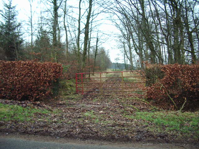
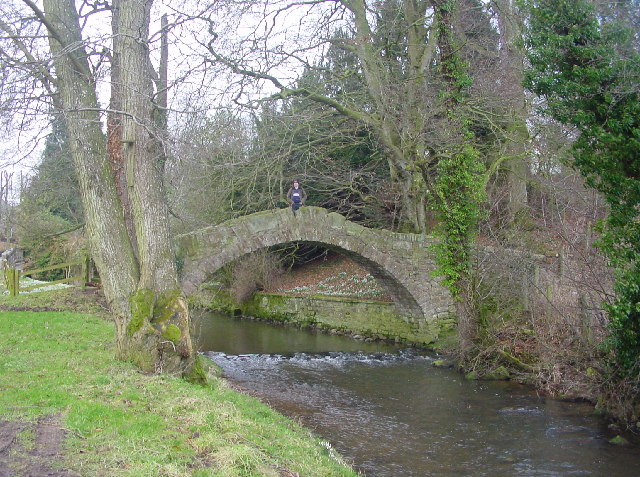
Broadfield Common Images
Images are sourced within 2km of 54.794665/-2.9091726 or Grid Reference NY4144. Thanks to Geograph Open Source API. All images are credited.


Broadfield Common is located at Grid Ref: NY4144 (Lat: 54.794665, Lng: -2.9091726)
Administrative County: Cumbria
District: Eden
Police Authority: Cumbria
What 3 Words
///stressed.helpful.segregate. Near Dalston, Cumbria
Nearby Locations
Related Wikis
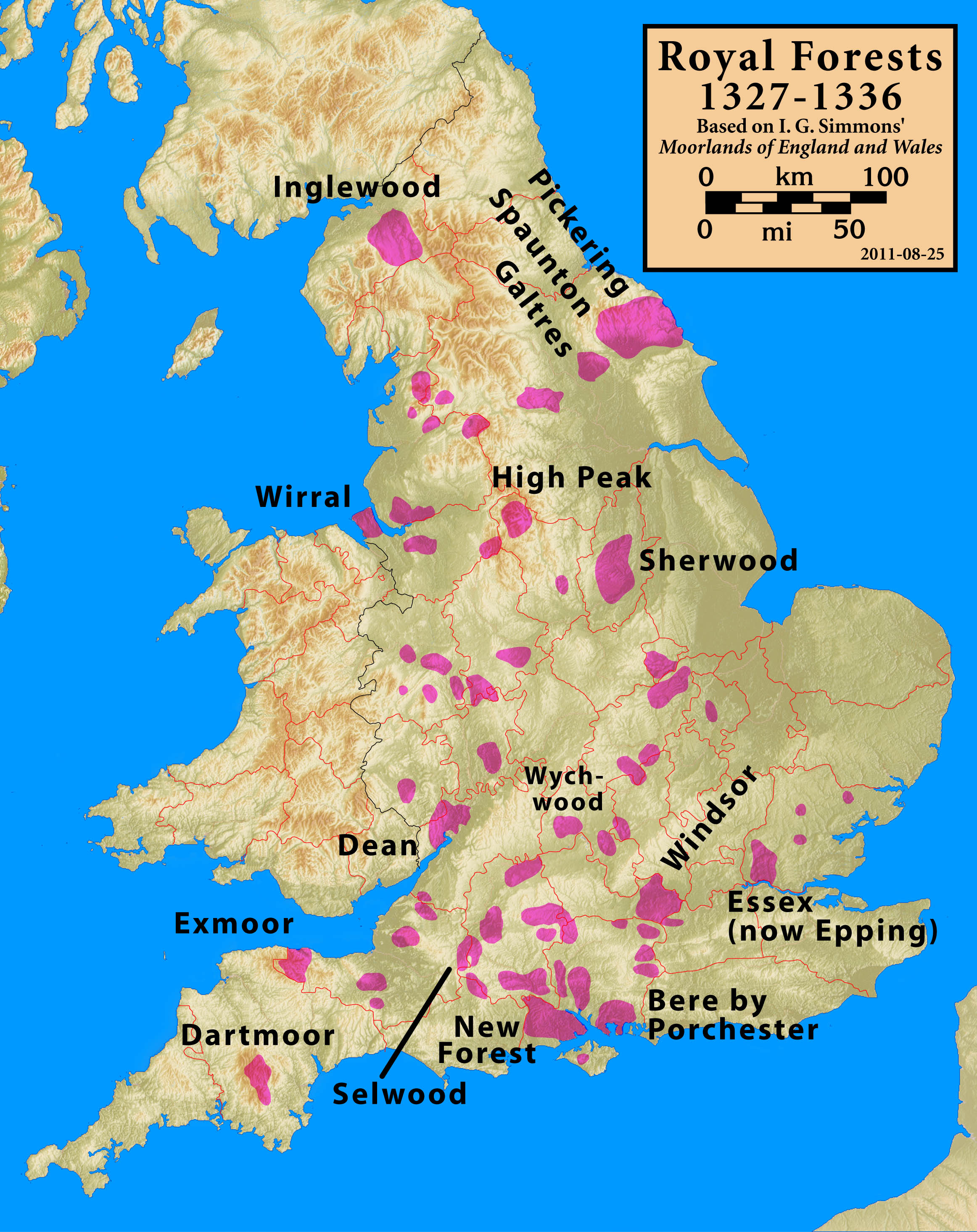
Inglewood Forest
Inglewood Forest is a large tract of mainly arable and dairy farm land with a few small woodland areas between Carlisle and Penrith in the English non...
Ivegill
Ivegill is a small village in Cumbria, England. The village has one place of worship and a school. It is located on an unclassified road near Southwaite...

High Head Castle
High Head Castle is a large fortified manor house in the English county of Cumbria. It is located between Carlisle and Penrith. The house is now largely...
River Ive
The River Ive is a river in the county of Cumbria, England. The Ive rises near the settlement of Hutton End and flows north-north-west, through Ivegill...
Nearby Amenities
Located within 500m of 54.794665,-2.9091726Have you been to Broadfield Common?
Leave your review of Broadfield Common below (or comments, questions and feedback).