Bigland Allotment
Downs, Moorland in Lancashire South Lakeland
England
Bigland Allotment

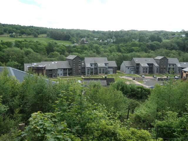
Bigland Allotment, located in Lancashire, England, is a picturesque and expansive tract of land that encompasses downs and moorland. With its diverse landscape and natural beauty, it has become a popular destination for outdoor enthusiasts and nature lovers.
The allotment covers a vast area, spanning several hectares, and is characterized by rolling hills, open grasslands, and patches of heather moorland. The downs, with their gentle slopes and fertile soil, offer ideal conditions for agricultural activities, and many locals cultivate crops and tend to livestock in this area.
The moorland, on the other hand, presents a stark contrast with its rugged terrain and sparse vegetation. It is home to a variety of rare plant species, including heather, bilberry, and cotton grass, which thrive in the acidic and nutrient-poor soil. The moorland also provides a habitat for numerous bird species, such as curlews, lapwings, and red grouse, making it a haven for birdwatchers and wildlife enthusiasts.
Visitors to Bigland Allotment can enjoy a range of activities amidst the stunning natural surroundings. The rolling hills offer opportunities for hiking and walking, with several well-marked trails crisscrossing the landscape. In addition, the area is dotted with picnic spots, allowing visitors to relax and take in the breathtaking views.
Bigland Allotment is not only a haven for nature lovers but also serves as an important conservation area. Regular maintenance and preservation efforts are undertaken to protect the delicate balance of the ecosystem and ensure the continued survival of the diverse plant and animal species that call this place home.
Overall, Bigland Allotment in Lancashire is a remarkable natural landscape that offers a tranquil escape from the bustle of everyday life, with its downs and moorland providing a captivating backdrop for outdoor activities and wildlife exploration.
If you have any feedback on the listing, please let us know in the comments section below.
Bigland Allotment Images
Images are sourced within 2km of 54.250151/-2.9741683 or Grid Reference SD3684. Thanks to Geograph Open Source API. All images are credited.


Bigland Allotment is located at Grid Ref: SD3684 (Lat: 54.250151, Lng: -2.9741683)
Administrative County: Cumbria
District: South Lakeland
Police Authority: Cumbria
What 3 Words
///parked.consented.quality. Near Grange-over-Sands, Cumbria
Nearby Locations
Related Wikis
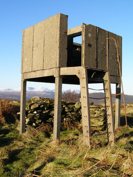
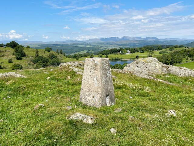
Bigland Barrow
Bigland Barrow is a hill in the English Lake District, near Backbarrow, Cumbria. It is the subject of a chapter of Wainwright's book The Outlying Fells...

Backbarrow
Backbarrow is a village in the Lake District National Park in England. It lies on the River Leven about 5 miles (8 km) northeast of Ulverston in Furness...
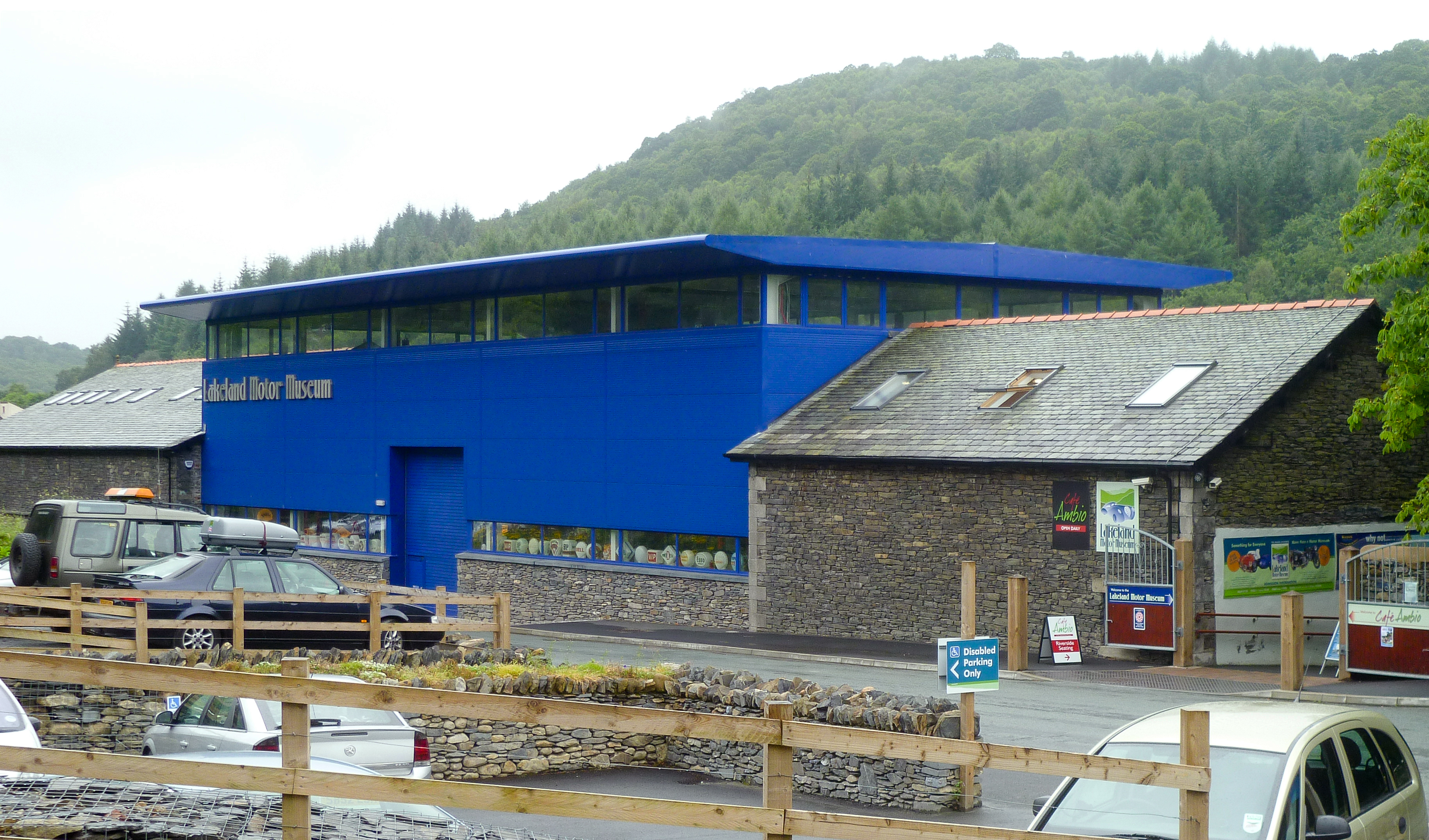
Lakeland Motor Museum
The Lakeland Motor Museum is a museum now located at Backbarrow, Cumbria, England which houses a collection of classic cars, motorcycles, bicycles, pedal...
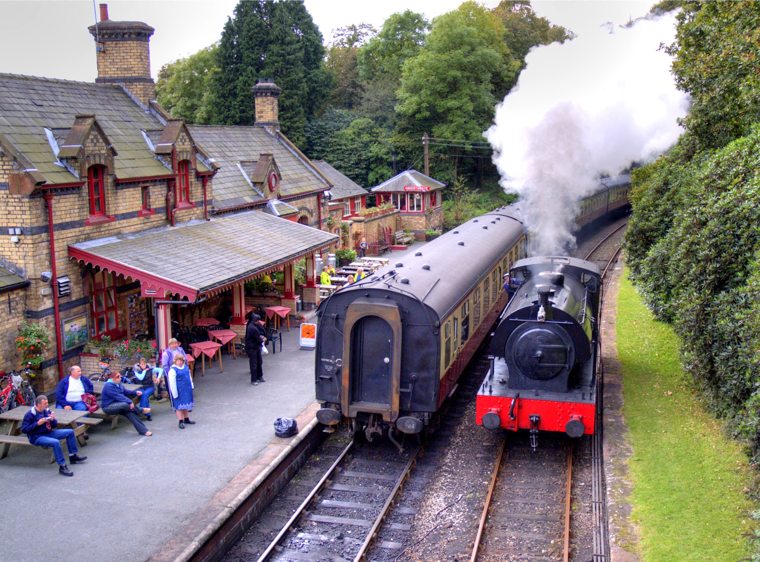
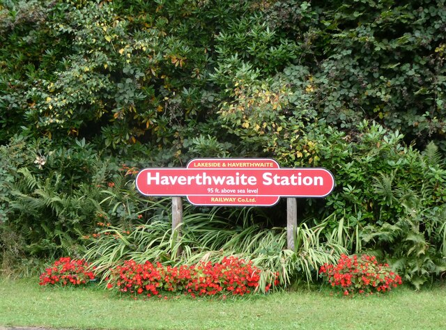
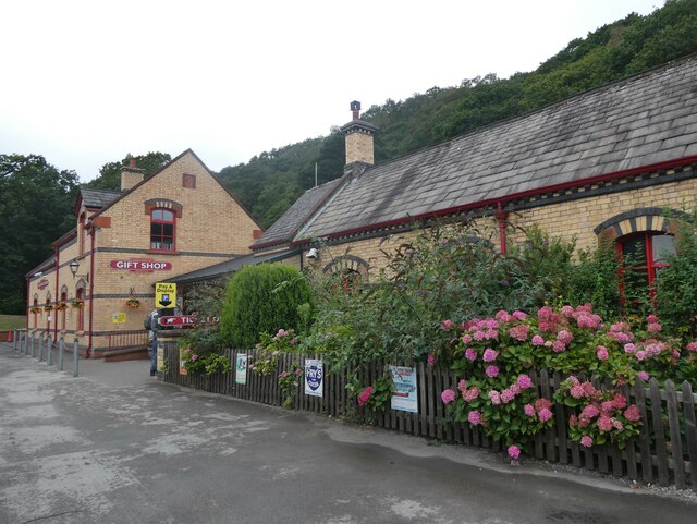
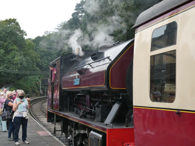
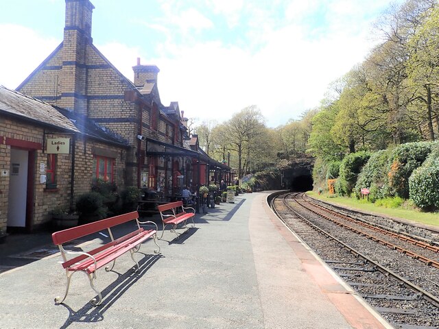
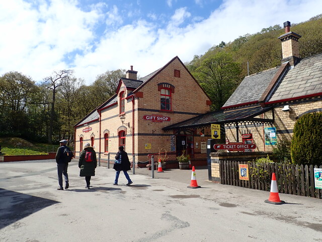
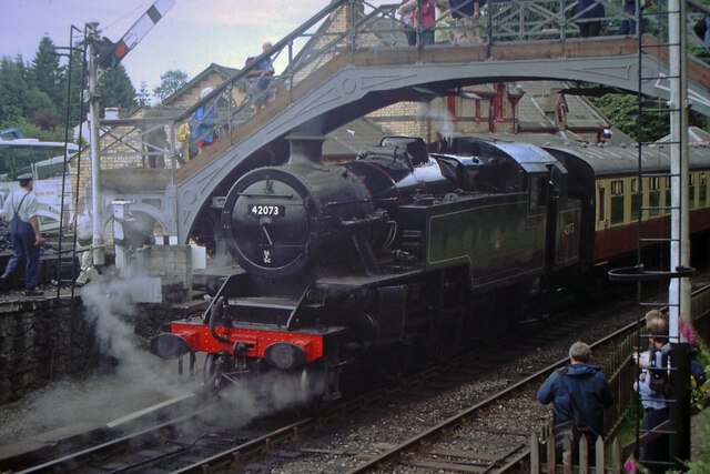
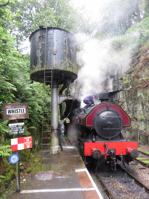
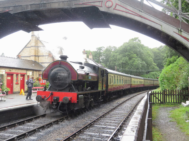
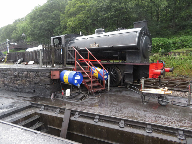
Haverthwaite railway station
Haverthwaite railway station is a railway station on the preserved Lakeside and Haverthwaite Railway in Cumbria, England. == History == The station opened...

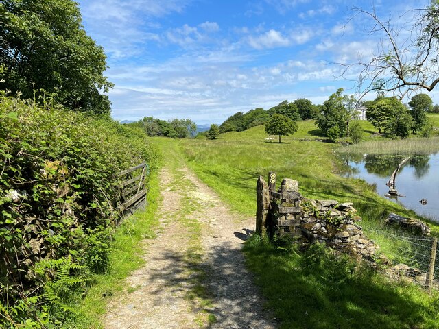
Bigland Tarn
Bigland Tarn is a lake in Cumbria, England, about 3/4 mile southeast of Haverthwaite. Located at an elevation of 158 m (518 ft), the lake has an area of...
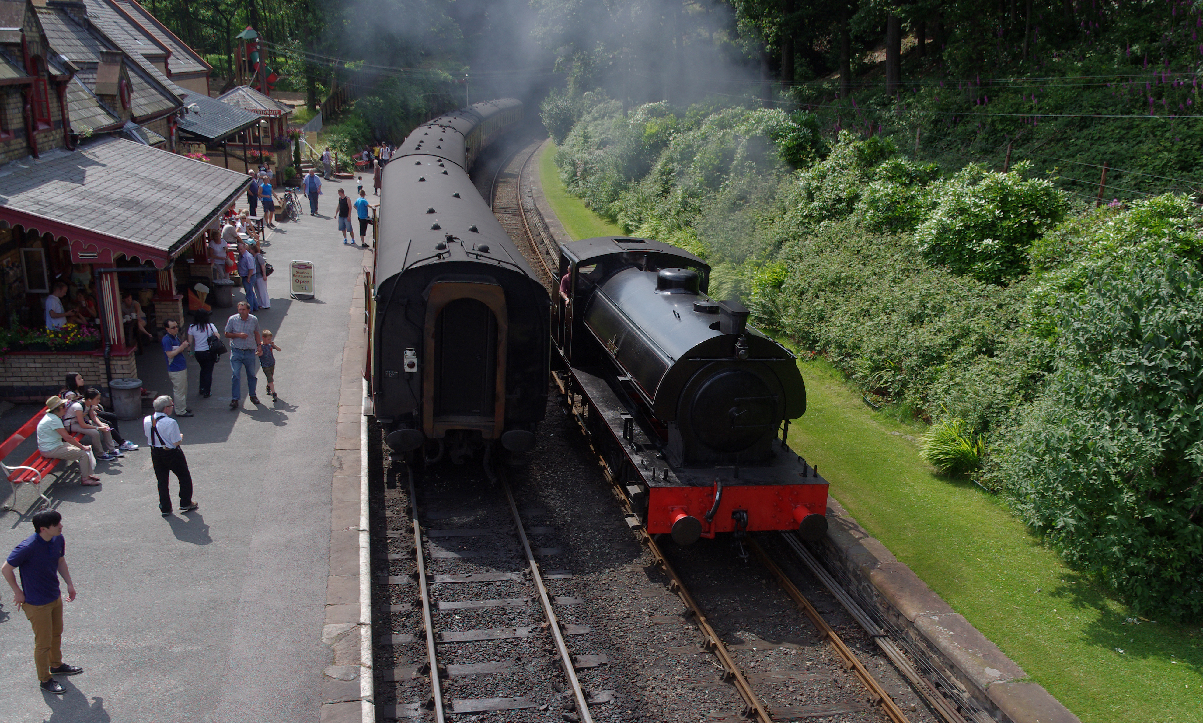
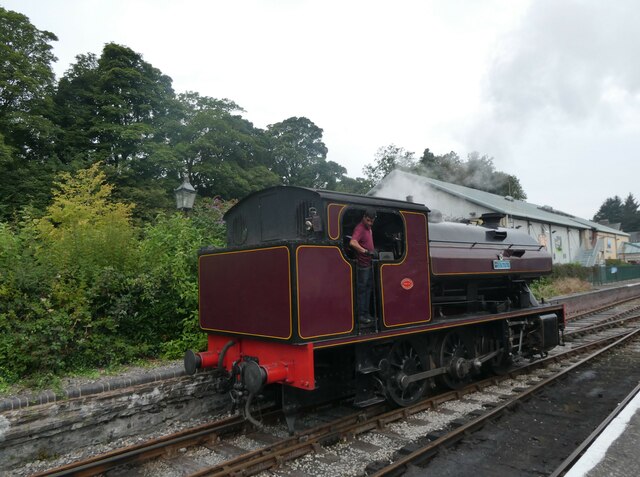
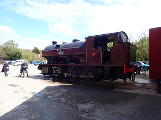
Lakeside and Haverthwaite Railway
The Lakeside and Haverthwaite Railway (L&HR) is a 3.2-mile-long (5.1 km) heritage railway in Cumbria, England. == Location == The L&HR runs from Haverthwaite...

A590 road
The A590 is a trunk road in southern Cumbria, in the north-west of England. It runs north-east to south-west from M6 junction 36, through the towns of...
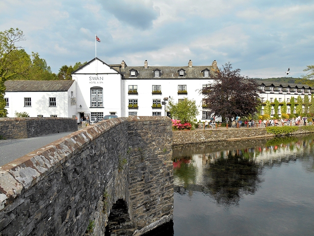
Newby Bridge
Newby Bridge is a small hamlet in the Lake District, Cumbria, England. Historically in Lancashire, it is located several miles west of Grange-over-Sands...
Nearby Amenities
Located within 500m of 54.250151,-2.9741683Have you been to Bigland Allotment?
Leave your review of Bigland Allotment below (or comments, questions and feedback).