Sandbeds Moss

Downs, Moorland in Cumberland Eden

England

Sandbeds Moss

Barbaryrigg Fold Barbaryrigg Fold on Barbary Rigg beside the Old Coach Road.
Barbaryrigg Fold Credit: DrewBull

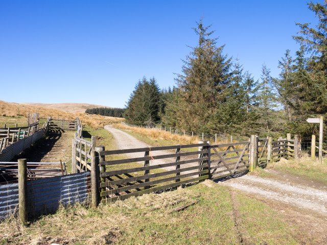
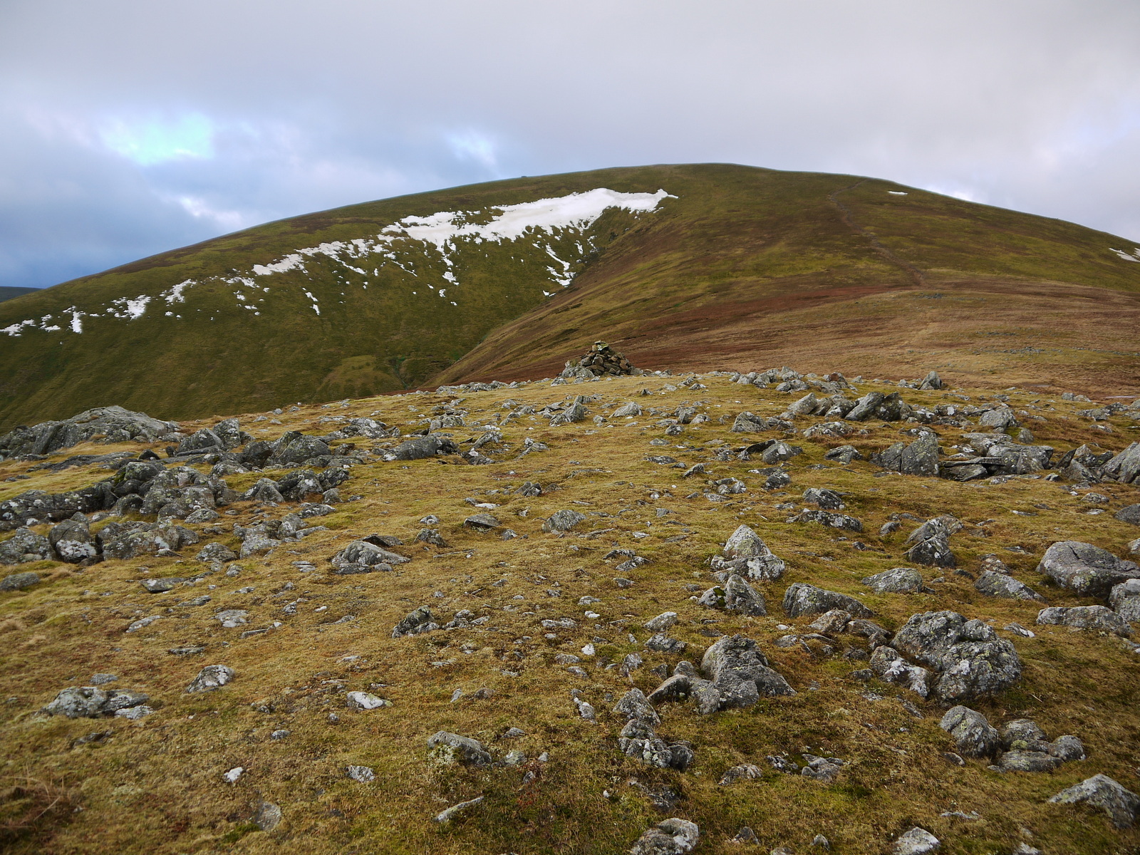
Sandbeds Moss is a remarkable area of moorland located in the county of Cumberland, England. Situated in the heart of the picturesque Lake District National Park, it covers an expansive 1,500 acres of land. The moss is characterized by its unique blend of heather, peat, and sphagnum moss, creating a visually stunning landscape that attracts nature enthusiasts and hikers alike.

The area is known for its diverse wildlife, with a wide range of bird species making their home in the moss, including the iconic red grouse, curlew, and golden plover. It is also home to several rare plant species, such as the sundew and cotton grass, which thrive in the nutrient-rich peat soil.

Sandbeds Moss is an important site for conservation efforts, as it acts as a natural carbon sink, absorbing and storing large amounts of carbon dioxide from the atmosphere. The moss's ability to retain water also contributes to flood prevention in the surrounding areas, making it a vital ecological feature.

Visitors to Sandbeds Moss can explore the network of footpaths and trails that wind through the moorland, offering breathtaking views of the surrounding hills and valleys. The moss provides an idyllic setting for outdoor activities such as walking, birdwatching, and nature photography.

Overall, Sandbeds Moss in Cumberland is a captivating natural wonder, offering visitors a chance to immerse themselves in the beauty and tranquility of the Lake District's moorland landscape.

If you have any feedback on the listing, please let us know in the comments section below.

Sandbeds Moss Images

Images are sourced within 2km of 54.597159/-2.9826214 or Grid Reference NY3622. Thanks to Geograph Open Source API. All images are credited.

Barbaryrigg Fold Barbaryrigg Fold on Barbary Rigg beside the Old Coach Road.
Barbaryrigg Fold
Barbaryrigg Fold on Barbary Rigg beside the Old Coach Road.
Ford, Groovebeck Fold
Path towards Great Dodd
Towards the ground above Wolf Crags
Path towards Great Dodd
Ruined building near Dowthwaitehead
Minor road towards Dockray
New Road towards Troutbeck
Grass tussocks on moorland The moorland, oddly not classified as access land, are on Cockley Moor near to Dockray. Walking over such ground is extremely tedious.
Grass tussocks on moorland
The moorland, oddly not classified as access land, are on Cockley Moor near to Dockray. Walking over such ground is extremely tedious.
Old Coach Road winding west The Old Coach Road crosses the ground north of the main spine of the Eastern Fells of the Lake District connecting Dockray with St. John's in the Vale. It's seen here heading west, approaching Groove Beck.
Old Coach Road winding west
The Old Coach Road crosses the ground north of the main spine of the Eastern Fells of the Lake District connecting Dockray with St. John's in the Vale. It's seen here heading west, approaching Groove Beck.
Hill track on north side of Groove Beck The track at this point coincides nearly with the route of a bridleway.  The shallow valley is that of the Groove Beck and the distant mountain is Great Dodd.
Hill track on north side of Groove Beck
The track at this point coincides nearly with the route of a bridleway. The shallow valley is that of the Groove Beck and the distant mountain is Great Dodd.
Whams Moss Whams Moss, a dreary boggy area, lies on the northern side of High Brow which is the minor hill rising above.
Whams Moss
Whams Moss, a dreary boggy area, lies on the northern side of High Brow which is the minor hill rising above.
Peat banks at Brut Moss Brut Moss lies on the rounded ridge of Great Dodd below the rockiness at Randerside. Hart Side is the mountain in the distance.
Peat banks at Brut Moss
Brut Moss lies on the rounded ridge of Great Dodd below the rockiness at Randerside. Hart Side is the mountain in the distance.
Old Coach Road The Old Coach Road crosses the ground north of the main spine of the Eastern Fells of the Lake District connecting Dockray with St. John's in the Vale. The road is seen here leaving a minor road a little over a kilometre west of Dockray.
Old Coach Road
The Old Coach Road crosses the ground north of the main spine of the Eastern Fells of the Lake District connecting Dockray with St. John's in the Vale. The road is seen here leaving a minor road a little over a kilometre west of Dockray.
Wolf Crags
Wolf Crags
Moorland with plantation beyond The view is eastwards from a path close to the mapped line of a bridleway north of the farm at Lobbs. The hill cone is Great Mell Fell.
Moorland with plantation beyond
The view is eastwards from a path close to the mapped line of a bridleway north of the farm at Lobbs. The hill cone is Great Mell Fell.
Gate on line of bridleway The fence crosses moorland in the vicinity of Whitesike Moss; the bridleway connects the farm at Lobbs with the 'Old Coach Road'.
Gate on line of bridleway
The fence crosses moorland in the vicinity of Whitesike Moss; the bridleway connects the farm at Lobbs with the 'Old Coach Road'.
Bield, disused, east of Mosedale Beck OS mapping has the stones in the image as being a bield, a roofless shelter for farm animals; if so, few beasts would have been able to use it. Blencathra is in the distance.
Bield, disused, east of Mosedale Beck
OS mapping has the stones in the image as being a bield, a roofless shelter for farm animals; if so, few beasts would have been able to use it. Blencathra is in the distance.
Show me another place!

Sandbeds Moss is located at Grid Ref: NY3622 (Lat: 54.597159, Lng: -2.9826214)

Administrative County: Cumbria

District: Eden

Police Authority: Cumbria

What 3 Words

///crisper.universal.budding. Near Keswick, Cumbria

Nearby Locations

Sandbeds Moss

Related Wikis

Mosedale Beck (Glenderamackin)

Mosedale Beck is a river in Cumbria, England, which rises on the northern slopes of Great Dodd and flows north east, to the south of Clough Head before...
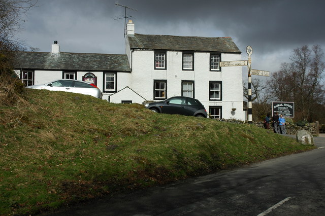
Dockray, Eden

Dockray (traditionally Dockwray) is a village in the civil parish of Matterdale, in the Eden district, in the county of Cumbria, England. In the 2011 census...
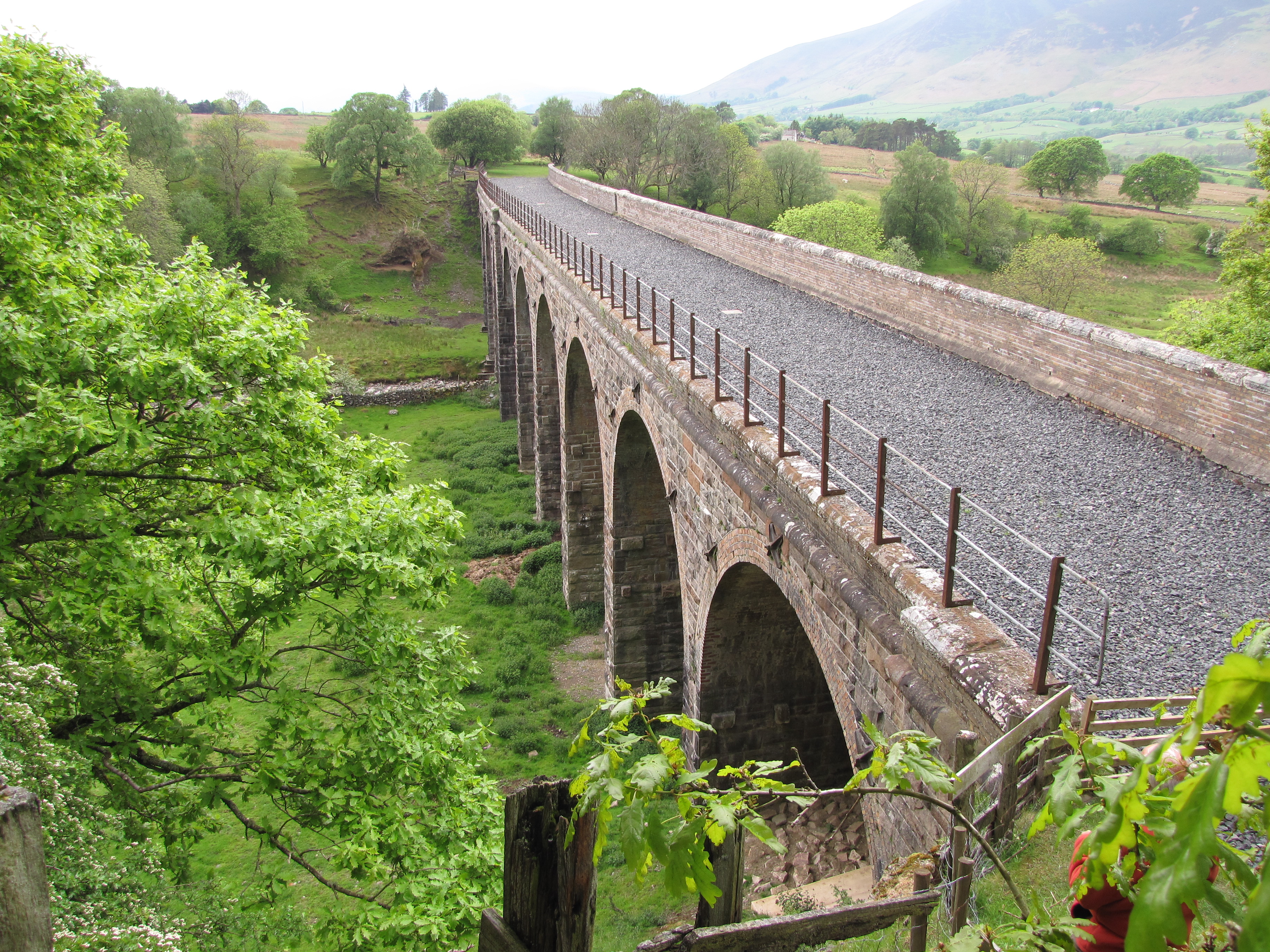
Mosedale Viaduct

The Mosedale Viaduct carried the Cockermouth, Keswick and Penrith Railway over Mosedale Beck until its closure in 1972. Building work on the viaduct...

Highgate Platform railway station

Highgate Platform railway station served schoolchildren in the isolated area of Highgate between Keswick and Penrith, in the historical area of Cumberland...
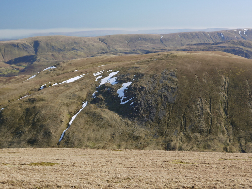
Hart Side

Hart Side (the hill side frequented by harts) is a subsidiary top on one of the east ridges of Stybarrow Dodd, which is a mountain (or fell) in the English...

Clough Head

Clough Head ( ) (meaning: hill-top above the ravine) is a fell, or hill, in the English Lake District. It marks the northern end of the main ridge of the...

Troutbeck, Hutton

Troutbeck is a hamlet within Cumbria, England, a few miles to the west of Penrith. It was previously in the county of Cumberland. It lies within the Lake...

Great Dodd

Great Dodd (meaning: big round hill) is a mountain or fell in the English Lake District. It stands on the main ridge of the Helvellyn range, a line of...

Nearby Amenities

Located within 500m of 54.597159,-2.9826214
Ford: yes
Lat/Long: 54.5981408/-2.9767594
The data included in this document is from www.openstreetmap.org. The data is made available under ODbL.

Have you been to Sandbeds Moss?

Leave your review of Sandbeds Moss below (or comments, questions and feedback).