Bishop's Allotment
Downs, Moorland in Lancashire South Lakeland
England
Bishop's Allotment

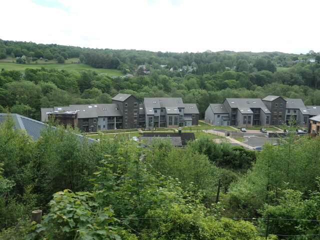
Bishop's Allotment is a picturesque area located in the county of Lancashire, England. Situated amidst the stunning Downs and Moorland landscapes, this allotment is a haven for nature enthusiasts and outdoor lovers.
Covering a vast area, Bishop's Allotment is characterized by its undulating terrain, dotted with lush green meadows, heather-covered moorlands, and dense woodlands. The allotment offers breathtaking views of the surrounding countryside, making it a popular destination for photographers and hikers alike.
The flora and fauna of Bishop's Allotment are diverse and abundant. From vibrant wildflowers to ancient oak trees, the area is teeming with natural beauty. It is home to a variety of wildlife, including rare bird species, mammals like rabbits and foxes, and even the occasional sighting of deer.
The allotment is crisscrossed by a network of footpaths and trails, making it an ideal location for outdoor activities such as walking, jogging, and cycling. These paths also provide access to various points of interest within the area, including picturesque viewpoints and historical landmarks.
Bishop's Allotment is managed by a dedicated team of conservationists who work tirelessly to preserve its natural beauty and protect its wildlife. They organize educational programs and guided tours, allowing visitors to learn more about the rich ecological heritage of the area.
Overall, Bishop's Allotment in Lancashire is a stunning natural landscape that offers a tranquil retreat from the bustling city life. Its diverse ecosystems and scenic views make it a must-visit destination for those seeking a connection with nature and a place to unwind amidst the beauty of the British countryside.
If you have any feedback on the listing, please let us know in the comments section below.
Bishop's Allotment Images
Images are sourced within 2km of 54.25452/-2.9795516 or Grid Reference SD3684. Thanks to Geograph Open Source API. All images are credited.


Bishop's Allotment is located at Grid Ref: SD3684 (Lat: 54.25452, Lng: -2.9795516)
Administrative County: Cumbria
District: South Lakeland
Police Authority: Cumbria
What 3 Words
///gosh.unwound.giggles. Near Grange-over-Sands, Cumbria
Nearby Locations
Related Wikis
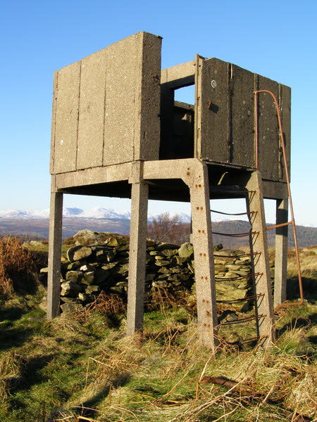
Bigland Barrow
Bigland Barrow is a hill in the English Lake District, near Backbarrow, Cumbria. It is the subject of a chapter of Wainwright's book The Outlying Fells...

Backbarrow
Backbarrow is a village in the Lake District National Park in England. It lies on the River Leven about 5 miles (8 km) northeast of Ulverston in Furness...
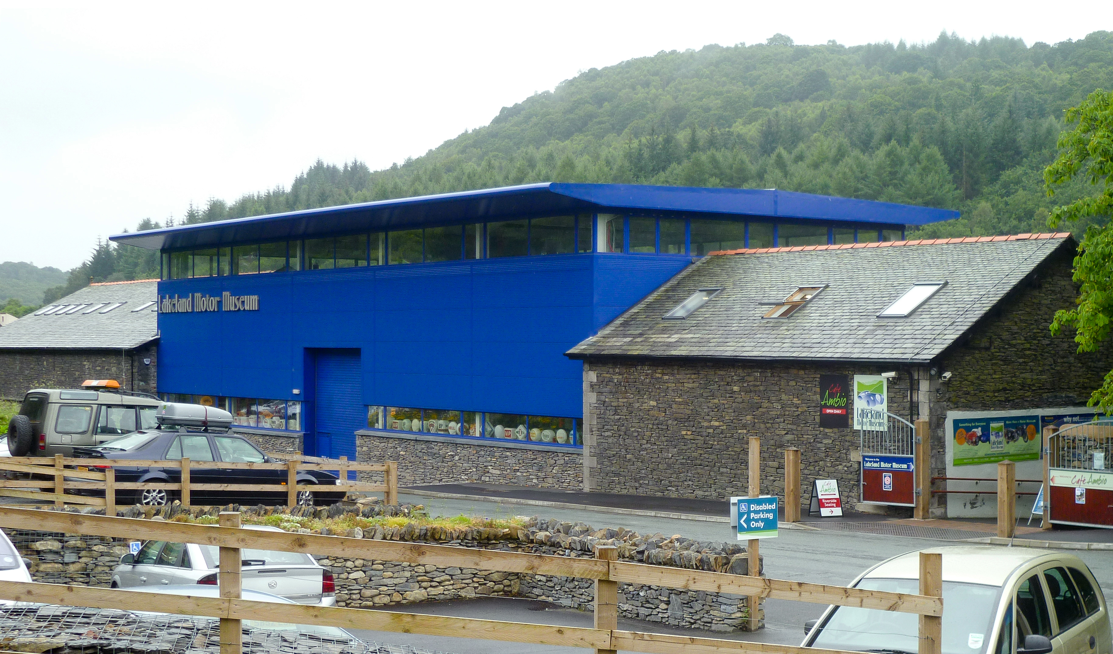
Lakeland Motor Museum
The Lakeland Motor Museum is a museum now located at Backbarrow, Cumbria, England which houses a collection of classic cars, motorcycles, bicycles, pedal...
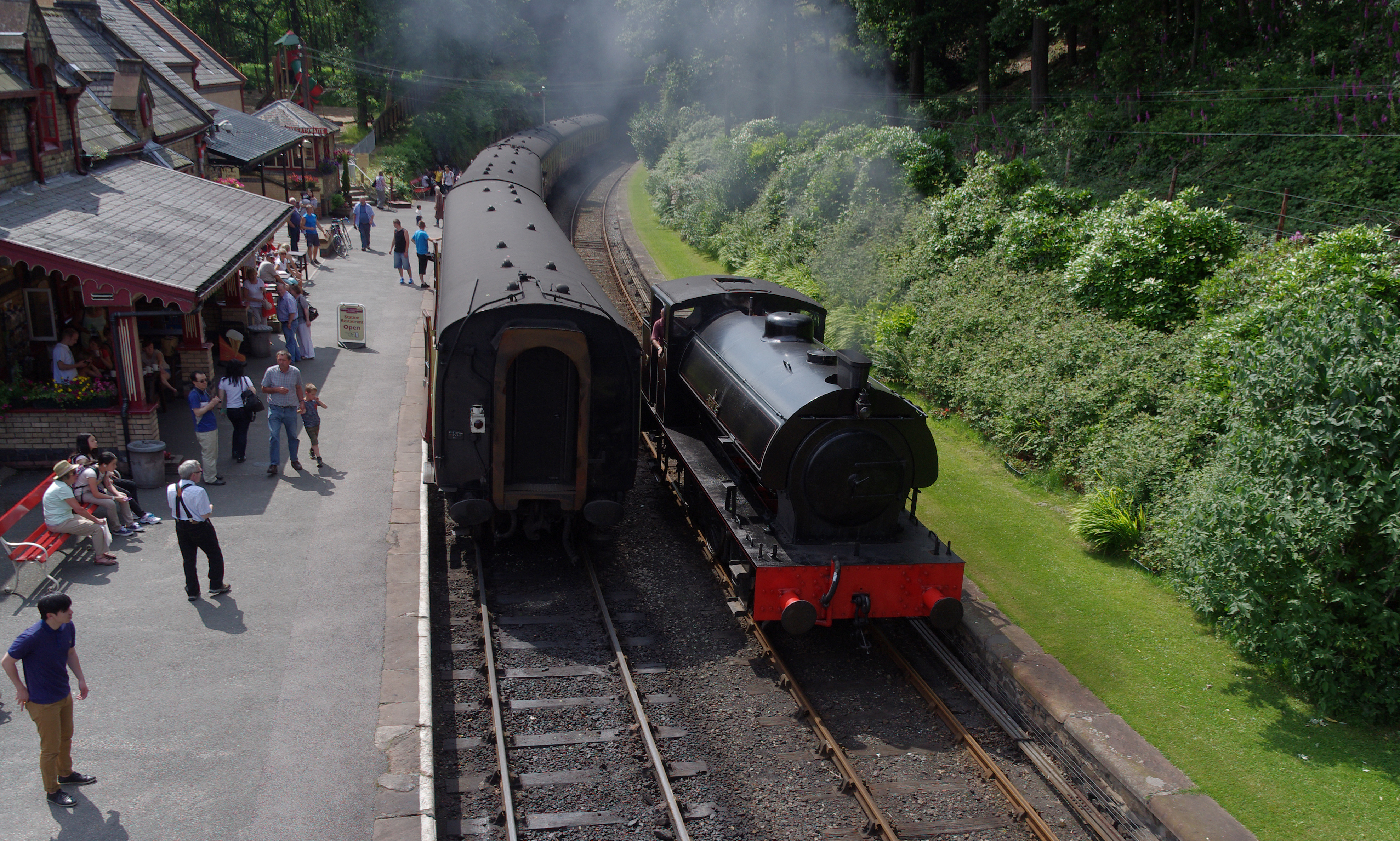
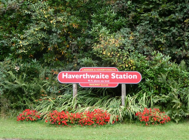
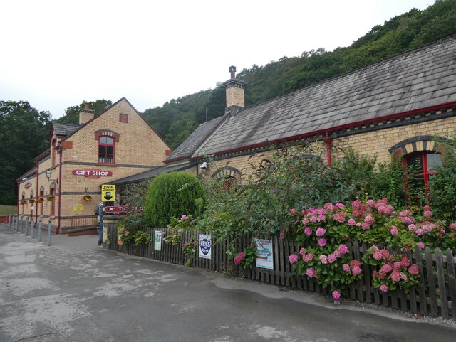
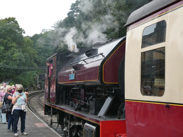
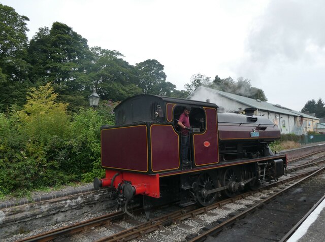
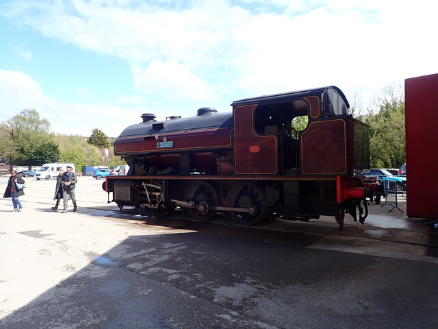
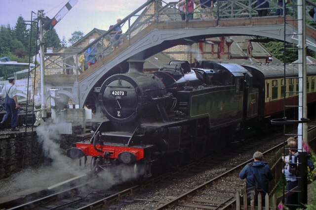
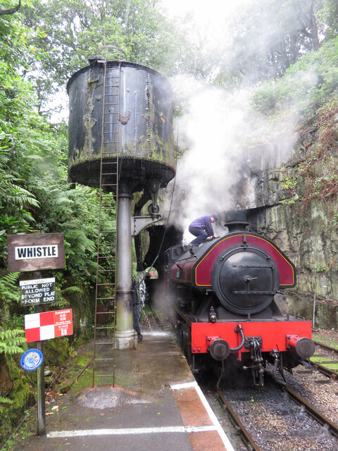
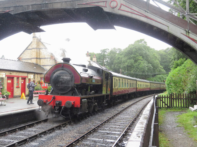
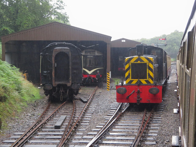
Lakeside and Haverthwaite Railway
The Lakeside and Haverthwaite Railway (L&HR) is a 3.2-mile-long (5.1 km) heritage railway in Cumbria, England. == Location == The L&HR runs from Haverthwaite...
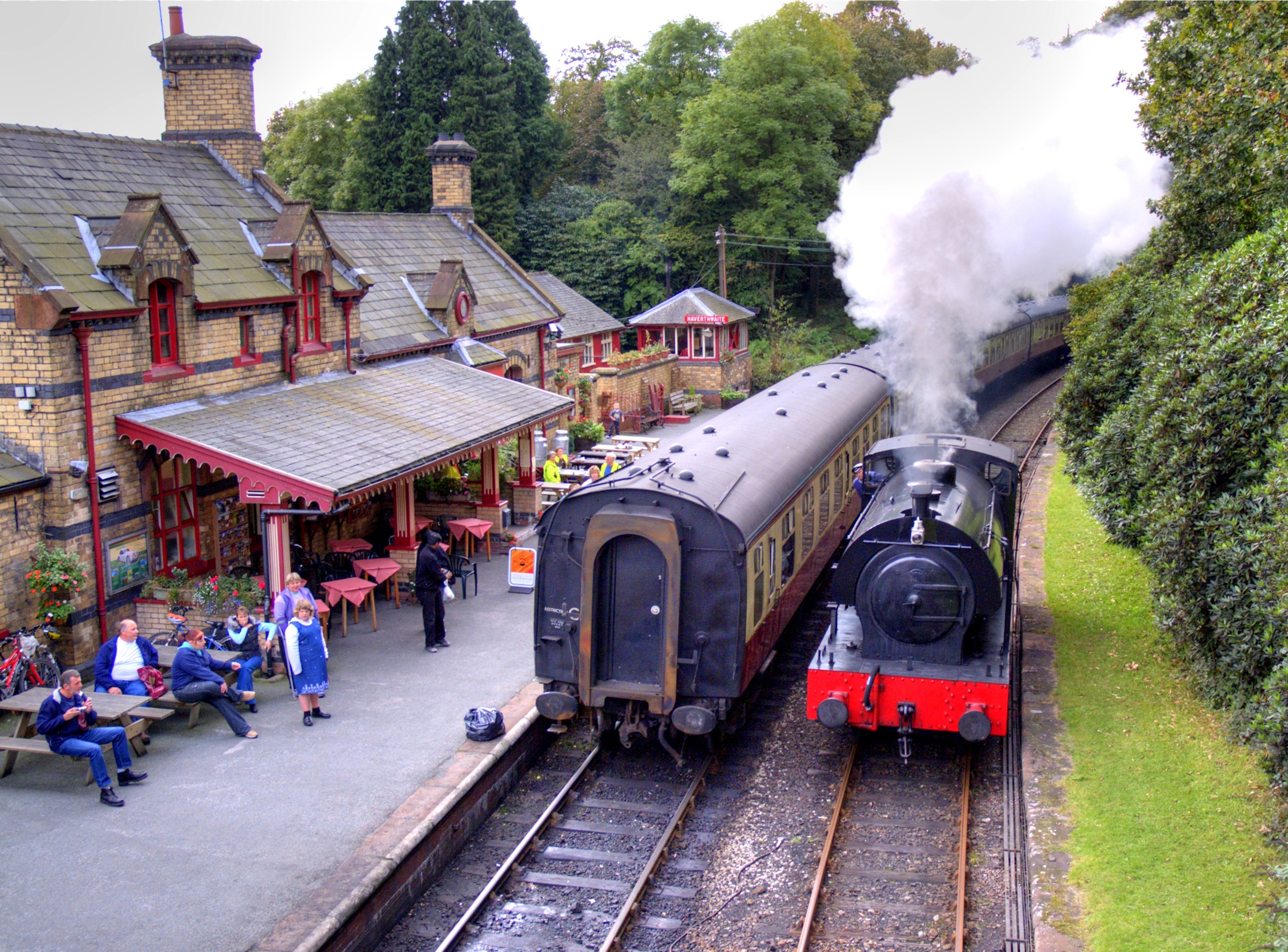
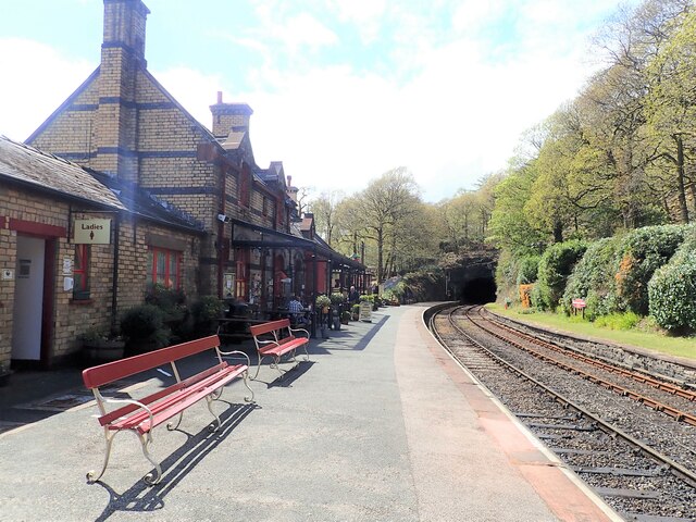
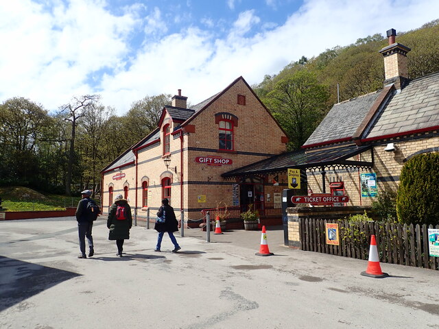
Haverthwaite railway station
Haverthwaite railway station is a railway station on the preserved Lakeside and Haverthwaite Railway in Cumbria, England. == History == The station opened...
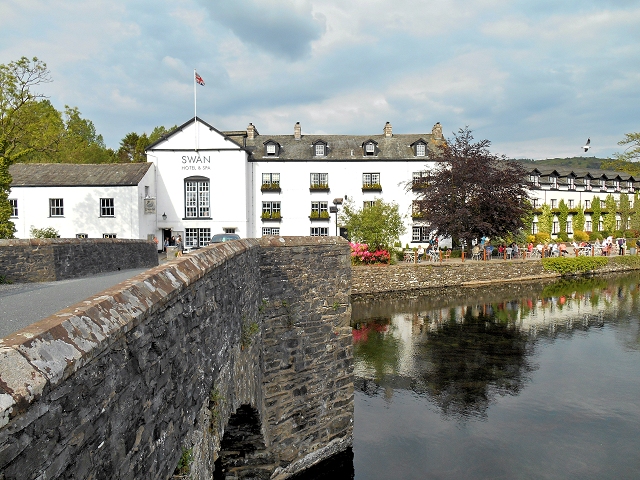
Newby Bridge
Newby Bridge is a small hamlet in the Lake District, Cumbria, England. Historically in Lancashire, it is located several miles west of Grange-over-Sands...

Newby Bridge Halt railway station
Newby Bridge Halt (also known, historically, as Newby Bridge Platform) is a railway station on the Lakeside and Haverthwaite heritage railway. It serves...

A590 road
The A590 is a trunk road in southern Cumbria, in the north-west of England. It runs north-east to south-west from M6 junction 36, through the towns of...
Related Videos
Finsthwaite and High Dam
Fellwalking in the Lake District.

Wainwright Walks wi'a Local Lad Finsthwaite Heights & High Dam
A walk to the Outlying Fell of Finsthwaite Heights from Newby Bridge, visiting Waterside Knott, Finsthwaite and High Dam. Except ...

Backbarrow & Bluebells
After a break from uploading, a walk from Backbarrow in search of Bluebells. Exploring the Industrial Archaeology of the area.

Nearby Amenities
Located within 500m of 54.25452,-2.9795516Have you been to Bishop's Allotment?
Leave your review of Bishop's Allotment below (or comments, questions and feedback).