Dick's Moss

Downs, Moorland in Cumberland Carlisle

England

Dick's Moss

Direction Sign – Signpost at Sarkhall, Kirkandrews Located on the south side of the T junction at Sarkhall in Kirkandrews parish. 3 arms and annulus finial. 

Milestone Society National ID: CU_NY3471
Direction Sign – Signpost at Sarkhall, Kirkandrews Credit: D Phillips

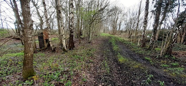
Dick's Moss, Cumberland (Downs, Moorland) is a vast and picturesque area located in the northwest region of England. This stunning landscape is a part of the larger Cumbrian Fells, renowned for their natural beauty and diverse ecosystems. The moss itself is a peat bog, characterized by its wet and marshy terrain, which provides a unique habitat for a variety of plant and animal species.

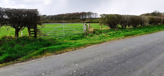
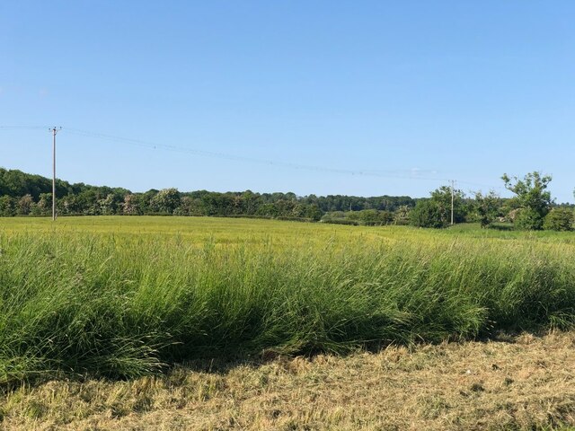
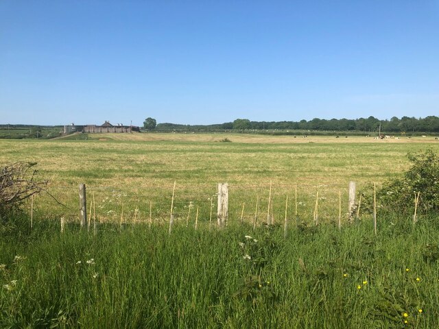
Covering an extensive area, Dick's Moss is surrounded by rolling hills and moorland, creating a breathtaking spectacle for visitors and nature enthusiasts alike. The moss is dotted with small pools and streams, adding to its charm and offering a haven for wildlife. The rich vegetation includes heather, sphagnum moss, and various grasses, providing a colorful and vibrant backdrop throughout the year.

The moss is home to a wide range of bird species, making it a popular destination for birdwatchers. Common sightings include skylarks, curlews, and lapwings, which thrive in this unique environment. Additionally, small mammals like voles and shrews can be spotted scurrying through the undergrowth, while larger animals like deer occasionally make appearances.

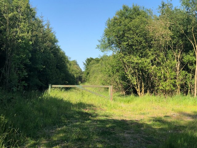
Hikers and nature enthusiasts flock to Dick's Moss to explore its stunning landscapes and enjoy the tranquility it offers. The area is crisscrossed with footpaths and trails, allowing visitors to immerse themselves in the natural beauty and discover hidden gems along the way. Whether it's a leisurely stroll or a challenging hike, Dick's Moss promises a memorable experience for all who venture into its captivating surroundings.

If you have any feedback on the listing, please let us know in the comments section below.
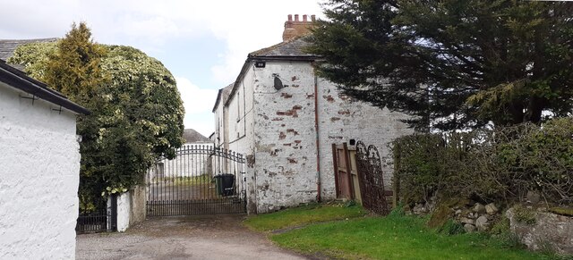
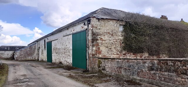
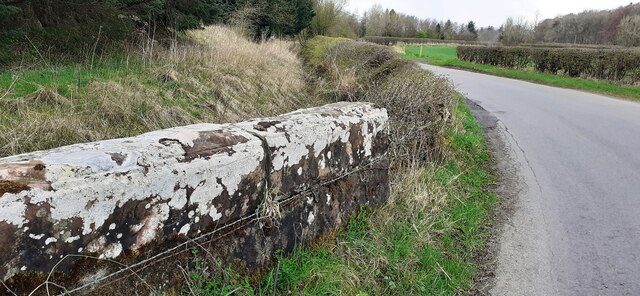
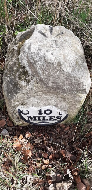
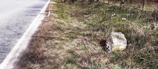
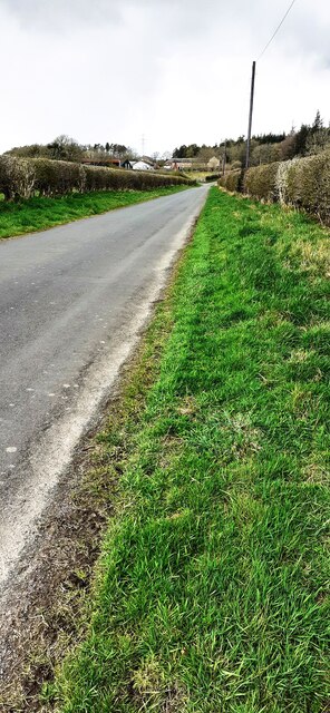
Dick's Moss Images

Images are sourced within 2km of 55.038534/-2.998812 or Grid Reference NY3672. Thanks to Geograph Open Source API. All images are credited.

Direction Sign – Signpost at Sarkhall, Kirkandrews Located on the south side of the T junction at Sarkhall in Kirkandrews parish. 3 arms and annulus finial. 

Milestone Society National ID: CU_NY3471
Direction Sign – Signpost at Sarkhall, Kirkandrews
Located on the south side of the T junction at Sarkhall in Kirkandrews parish. 3 arms and annulus finial. Milestone Society National ID: CU_NY3471
Direction Sign – Signpost north of Sarkhall, Kirkandrews Located on the north side of the Y junction north of Sarkhall in Kirkandrews parish. 3 arms and pawn finial. See also <a title="https://www.geograph.org.uk/photo/892194" href="https://www.geograph.org.uk/photo/892194">Link</a> and <a title="https://www.geograph.org.uk/photo/340454" href="https://www.geograph.org.uk/photo/340454">Link</a>.

Milestone Society National ID: CU_NY3472
Direction Sign – Signpost north of Sarkhall, Kirkandrews
Located on the north side of the Y junction north of Sarkhall in Kirkandrews parish. 3 arms and pawn finial. See also Link and Link. Milestone Society National ID: CU_NY3472
Field gateway on west side of minor road to Batenbush
Gated entrance to buildings at Oakbank
Benchmark on farm building at Oakbank Ordnance Survey cut mark benchmark levelled at 14.613m above Newlyn Datum verified 1974
Benchmark on farm building at Oakbank
Ordnance Survey cut mark benchmark levelled at 14.613m above Newlyn Datum verified 1974
Farm buildings at Oakbank There is an Ordnance Survey benchmark <a href="https://www.geograph.org.uk/photo/7142707">NY3670 : Benchmark on farm building at Oakbank</a> on the corner, road face, of the nearest building at the junction with stone wall
Farm buildings at Oakbank
There is an Ordnance Survey benchmark NY3670 : Benchmark on farm building at Oakbank on the corner, road face, of the nearest building at the junction with stone wall
Road and stream at Oakbank Bridge The bridge parapet has 1936 date carved on its road face
Road and stream at Oakbank Bridge
The bridge parapet has 1936 date carved on its road face
Milestone Carlisle 10 miles on SE side of A7 The milestone has an Ordnance Survey pivot benchmark levelled at 17.100m above Newlyn Datum verified in 1974 on its top. The 1888-1913 OS 6" Map shows the benchmark at 55.8 feet (17.0m) above Liverpool Datum
Milestone Carlisle 10 miles on SE side of A7
The milestone has an Ordnance Survey pivot benchmark levelled at 17.100m above Newlyn Datum verified in 1974 on its top. The 1888-1913 OS 6" Map shows the benchmark at 55.8 feet (17.0m) above Liverpool Datum
Old milestone on SE side of A7 SW of Batenbush junction <a href="https://www.geograph.org.uk/photo/7142752">NY3770 : Milestone Carlisle 10 miles on SE side of A7</a> shows a front view of the milestone
Old milestone on SE side of A7 SW of Batenbush junction
NY3770 : Milestone Carlisle 10 miles on SE side of A7 shows a front view of the milestone
Rural NW road towards Batenbush
Footpath through wood between A7 and River Esk On tracked of former North British Railway from Carlsle to Edinburgh. The brick structure could be the fireplace of a platelayers hut?
Footpath through wood between A7 and River Esk
On tracked of former North British Railway from Carlsle to Edinburgh. The brick structure could be the fireplace of a platelayers hut?
Glingerbank Glingerbank is a large Edwardian house close to the River Esk. It was built on the site of a former rectory and later becme the property of Sunderlans hipping magnate Guy Westoll. See <span class="nowrap"><a title="https://freecen1.freecen.org.uk" rel="nofollow ugc noopener" href="https://freecen1.freecen.org.uk">Link</a><img style="margin-left:2px;" alt="External link" title="External link - shift click to open in new window" src="https://s1.geograph.org.uk/img/external.png" width="10" height="10"/></span> for details.
Glingerbank
Glingerbank is a large Edwardian house close to the River Esk. It was built on the site of a former rectory and later becme the property of Sunderlans hipping magnate Guy Westoll. See LinkExternal link for details.
Pergola at Glingerbank A very wet start to 2023 at Glingerbank. I'm sure the pergola is a delightful feature in summer.
Pergola at Glingerbank
A very wet start to 2023 at Glingerbank. I'm sure the pergola is a delightful feature in summer.
Deserted Garden at Glingerbank No one in their right mind would wish to use the outside table on this wet New Year's Day, but it must be delightful spot on a sunny summer day.
Deserted Garden at Glingerbank
No one in their right mind would wish to use the outside table on this wet New Year's Day, but it must be delightful spot on a sunny summer day.
Barley, Oakbank
Barley, Oakbank
Silverhill Wood
Silverhill Wood
Becklees Solway carse land.
Becklees
Solway carse land.
Pasture, Drownedcow Moss Solway carse land.
Pasture, Drownedcow Moss
Solway carse land.
Show me another place!

Dick's Moss is located at Grid Ref: NY3672 (Lat: 55.038534, Lng: -2.998812)

Administrative County: Cumbria

District: Carlisle

Police Authority: Cumbria

What 3 Words

///wiggly.afternoon.fortunate. Near Longtown, Cumbria

Related Wikis

Nearby Amenities

Located within 500m of 55.038534,-2.998812
Power: tower
Lat/Long: 55.0413457/-2.9956492
Power: tower
Lat/Long: 55.041135/-3.0004547
The data included in this document is from www.openstreetmap.org. The data is made available under ODbL.

Have you been to Dick's Moss?

Leave your review of Dick's Moss below (or comments, questions and feedback).