Bowscale Moss
Downs, Moorland in Cumberland Eden
England
Bowscale Moss
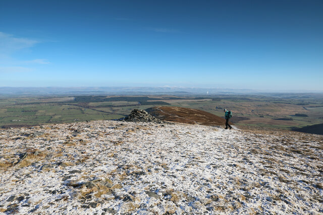
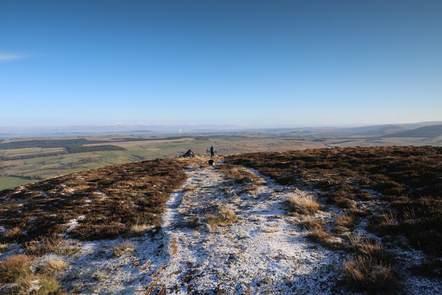
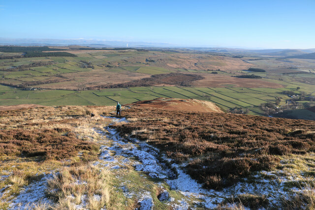
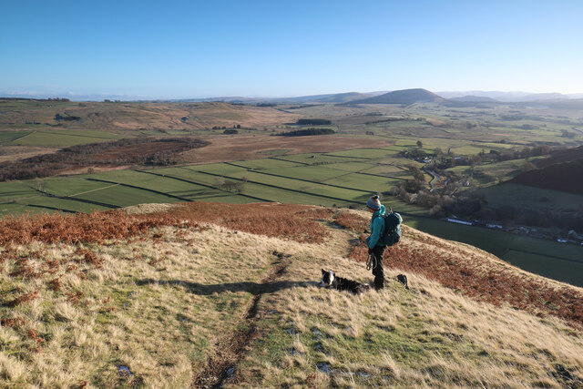
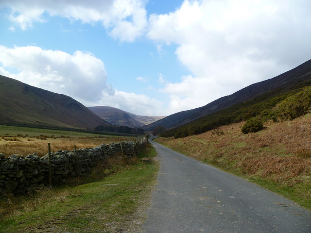
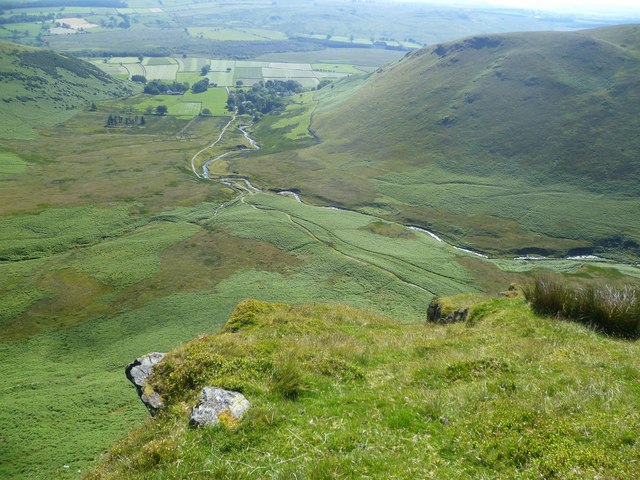
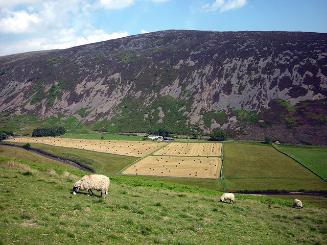
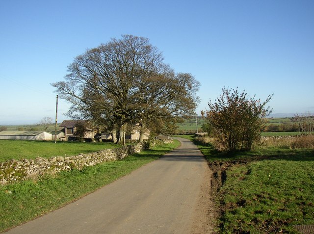
Bowscale Moss is a vast expanse of moorland located in the county of Cumberland, England. Situated in the northern part of the Lake District National Park, it covers an area of approximately 2 square kilometers. The moss is situated at an elevation of around 500 meters above sea level, making it one of the highest points in the region.
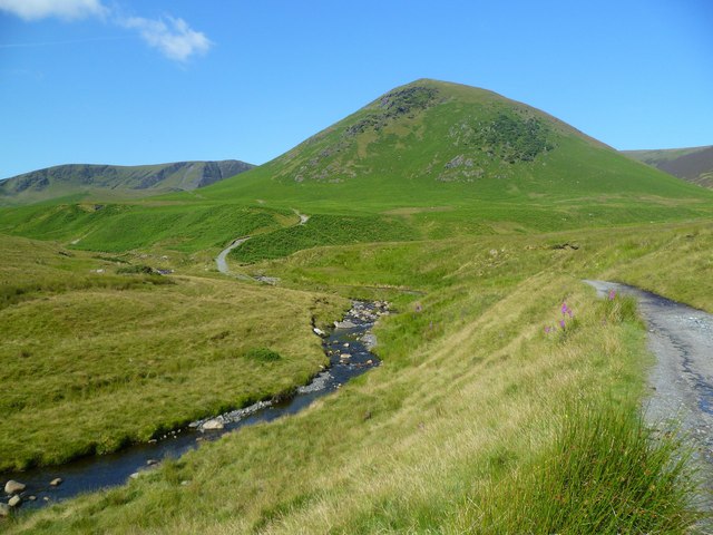
The landscape of Bowscale Moss is characterized by expansive peat bogs, heathland, and scattered patches of grass. The area is surrounded by rolling hills and mountains, including the prominent peaks of Carrock Fell and Bowscale Fell. The moss itself is a designated Site of Special Scientific Interest (SSSI) due to its unique ecological value and importance for a variety of plant and animal species.
The moss is home to a rich diversity of flora and fauna. Sphagnum mosses, cotton grass, and heather dominate the vegetation, creating a colorful and vibrant landscape during the summer months. The area also supports several species of birds, including grouse, skylarks, and curlews, which can be observed in the open moorland.
Bowscale Moss is a popular destination for outdoor enthusiasts, attracting hikers and nature lovers alike. A network of footpaths and trails crisscross the area, allowing visitors to explore and enjoy the stunning views of the surrounding mountains and valleys. However, it is important to tread carefully and adhere to designated paths, as the delicate ecosystem of the moss can be easily damaged.
Overall, Bowscale Moss is a captivating and ecologically important moorland, offering a glimpse into the natural beauty and biodiversity of the Lake District National Park.
If you have any feedback on the listing, please let us know in the comments section below.
Bowscale Moss Images
Images are sourced within 2km of 54.675948/-2.9904788 or Grid Reference NY3631. Thanks to Geograph Open Source API. All images are credited.


Bowscale Moss is located at Grid Ref: NY3631 (Lat: 54.675948, Lng: -2.9904788)
Administrative County: Cumbria
District: Eden
Police Authority: Cumbria
What 3 Words
///stupidly.repelled.tides. Near Keswick, Cumbria
Nearby Locations
Related Wikis

Bowscale
Bowscale is a hamlet and former civil parish, now in the parish of Mungrisdale, in the Eden district, in the county of Cumbria, England. In 1931 the parish...

Mosedale, Cumbria
Mosedale is a hamlet and former civil parish, now in the parish of Mungrisdale in the Eden district, in the county of Cumbria, in the north west of the...

Mungrisdale
Mungrisdale is a small village and civil parish in the north east of the English Lake District in Cumbria. It is also the name of the valley in which...

Souther Fell
Souther Fell is a fell in the English Lake District. It stands to the south of Mungrisdale village in the Northern Fells. It is most famous for the appearance...
Hutton Roof, Eden
Hutton Roof is a hamlet and former civil parish, now in the parish of Mungrisdale, in the Westmorland and Furness district, in the ceremonial county of...

Carrock Fell
Carrock Fell is a fell in the English Lake District, situated in the northern region of the national park, 8 miles (13 kilometres) north-east of Keswick...

Bowscale Fell
Bowscale Fell is a hill in the English Lake District. It rises above the village of Mungrisdale in the Northern Fells. Bowscale Fell stands at the extreme...

Bannerdale Crags
Bannerdale Crags is a fell in the English Lake District. It stands between Blencathra and Bowscale Fell in the Northern Fells. == Topography == Bannerdale...
Nearby Amenities
Located within 500m of 54.675948,-2.9904788Have you been to Bowscale Moss?
Leave your review of Bowscale Moss below (or comments, questions and feedback).