Clatto Moor
Downs, Moorland in Angus
Scotland
Clatto Moor
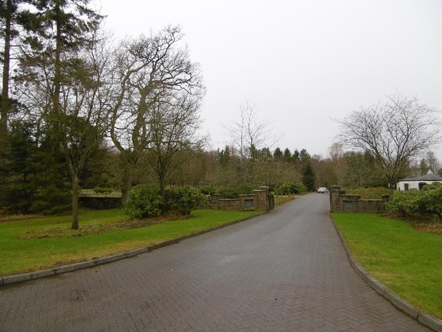
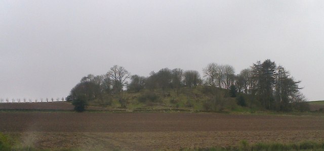
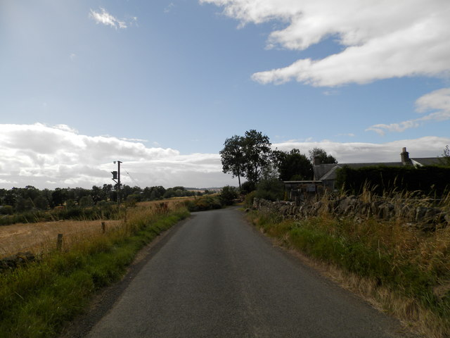
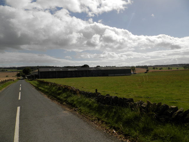
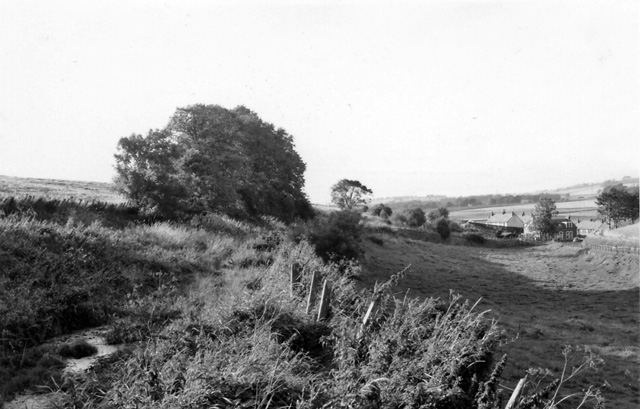
Clatto Moor is a picturesque expanse of downs and moorland located in the Angus region of Scotland. Spanning over a vast area of land, it is renowned for its natural beauty and diverse wildlife. The moor is situated near the village of Kirkton of Auchterhouse, offering stunning views of the surrounding countryside.
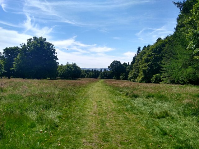
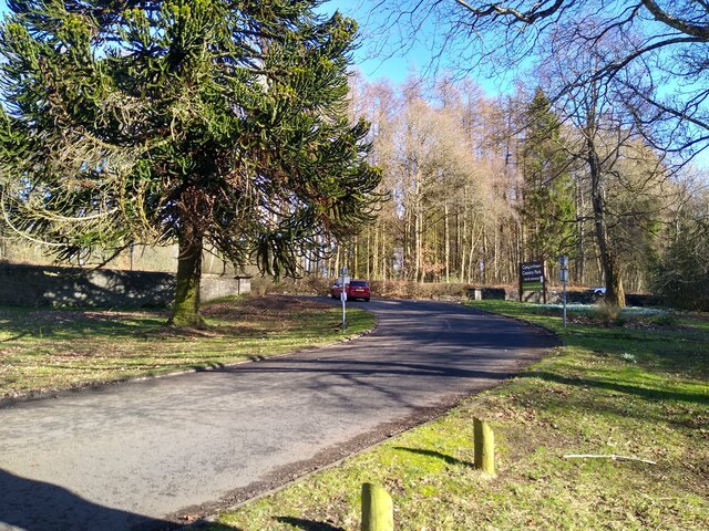
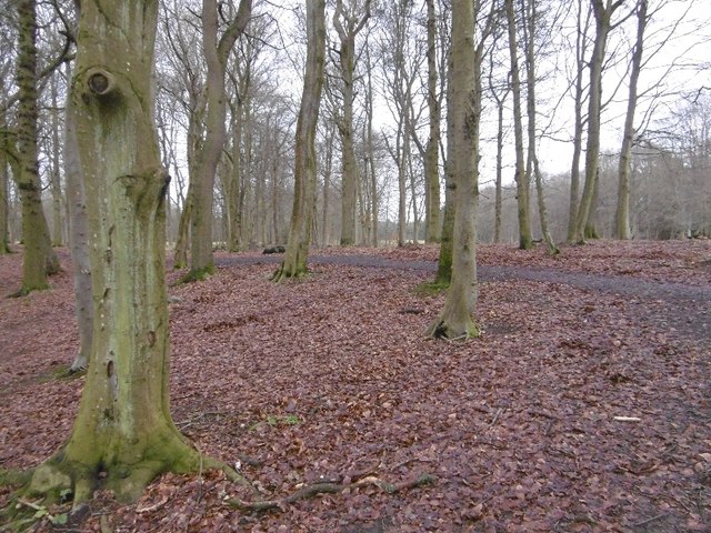
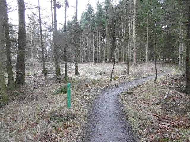
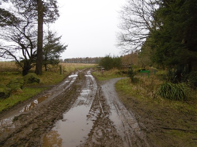
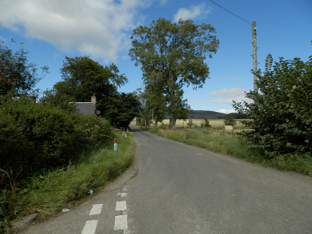
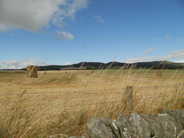
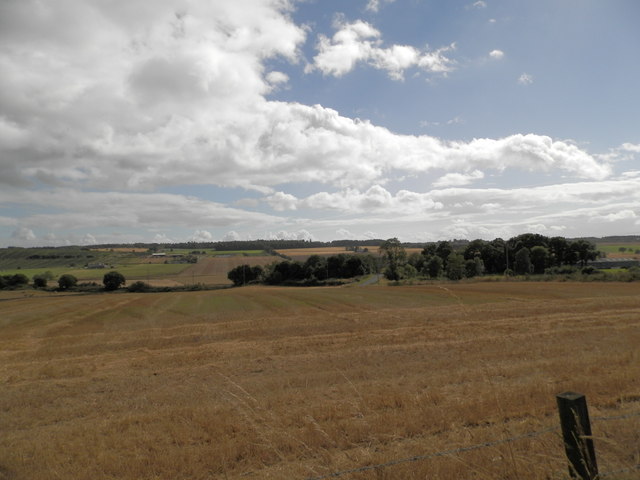
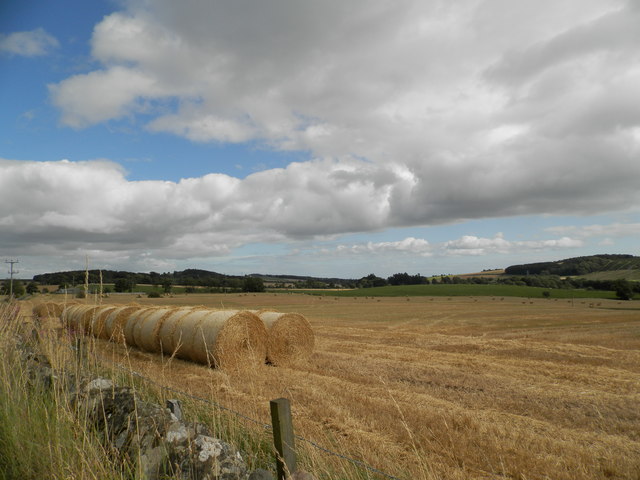
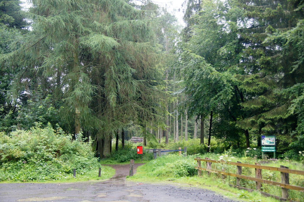
The landscape of Clatto Moor is characterized by rolling hills, heather-covered moorland, and patches of dense woodland. The area is crisscrossed by numerous walking trails, making it a popular destination for hikers and nature enthusiasts. These trails provide an opportunity to explore the moor and discover its unique flora and fauna.
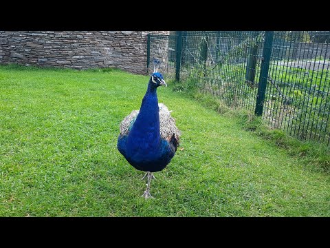
The plant life at Clatto Moor is incredibly varied, with heather dominating the moorland. In the spring and summer, the moor comes alive with a vibrant burst of color as wildflowers bloom. The diverse habitat also attracts a wide range of animal species. Visitors may encounter red deer, rabbits, foxes, and various bird species such as curlews, lapwings, and skylarks.
Clatto Moor is not only a haven for wildlife but also holds historical significance. The area contains a number of ancient archaeological sites, including burial cairns and standing stones, which offer a glimpse into the region's rich past.
Overall, Clatto Moor is a captivating natural landscape that offers visitors a chance to immerse themselves in the beauty of Scotland's countryside. Whether one seeks peaceful walks amidst nature, wildlife spotting, or a journey through history, Clatto Moor provides a truly unforgettable experience.
If you have any feedback on the listing, please let us know in the comments section below.
Clatto Moor Images
Images are sourced within 2km of 56.501387/-3.0304781 or Grid Reference NO3634. Thanks to Geograph Open Source API. All images are credited.

Clatto Moor is located at Grid Ref: NO3634 (Lat: 56.501387, Lng: -3.0304781)
Unitary Authority: City of Dundee
Police Authority: Tayside
What 3 Words
///evenly.vague.basin. Near Muirhead, Angus
Nearby Locations
Related Wikis
Murder of Elizabeth McCabe
The murder of Elizabeth McCabe was the infamous murder of a 20-year-old woman in Dundee, Scotland in February 1980. The case is one of Scotland's most...

Templeton, Angus
Templeton, Angus is a rural area to the north west of Dundee, Scotland, UK, close to Camperdown House. == See also == List of places in Angus
Baldragon railway station
Baldragon railway station served the village of Baldragon in the Scottish county of Angus. Services were provided by the Dundee and Newtyle Railway....
Balbeuchly (Foot) railway station
Balbeuchly (Foot) railway station served the village of Auchterhouse, Angus, Scotland, from 1831 to 1855 on the Dundee and Newtyle Railway. == History... ==

Bridgefoot, Angus
Bridgefoot, previously called Kirkton of Strathmartine, is a village in Angus, Scotland. It lies approximately one mile north of Dundee, to the west of...
St Marys, Dundee
St Mary's is in a residential area of Dundee located in the extreme northwest of the city, to the north of Ardler and west of Kirkton. It is also bounded...
Ardler
Ardler is an area in the north-west of Dundee, Scotland, built on land previously owned by Downfield Golf Club. The housing scheme was completed in the...

Birkhill, Angus
Birkhill and neighbouring Muirhead are two small villages in Angus, just to the west of Dundee, Scotland. == Community features == Features of Muirhead...
Related Videos

TRAVEL WITH ME TO THE UK || Last minute Travel Vlog ✈️ | Nigeria to UK | the process // 🌇 PART ONE!
I had a last minute travel to the UK… this is just a summary of my journey//part one. I hope you enjoy it. @qatarairways ...
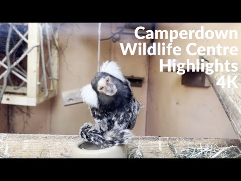
Highlights: Camperdown Wildlife Centre, Dundee | 4K
The Camperdown Wildlife Centre is home to over 50 species of animals, including big cats, primates, birds of prey, and various ...
Nearby Amenities
Located within 500m of 56.501387,-3.0304781Have you been to Clatto Moor?
Leave your review of Clatto Moor below (or comments, questions and feedback).