Bickenhall Plain
Downs, Moorland in Somerset Somerset West and Taunton
England
Bickenhall Plain
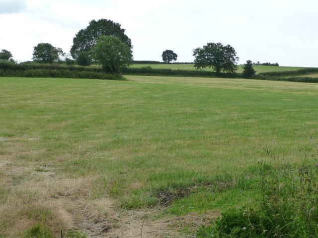
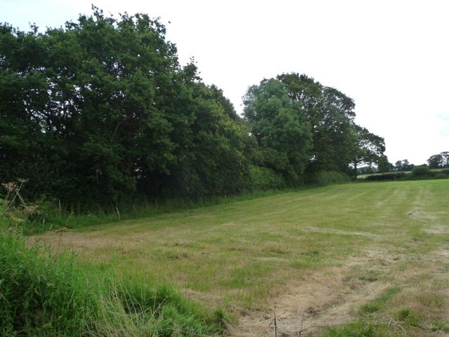
Bickenhall Plain is a picturesque area located in Somerset, England. Situated on the eastern edge of the Blackdown Hills, this plain is characterized by its rolling downs and expansive moorland. Covering an area of approximately 3 square miles, Bickenhall Plain offers stunning views of the surrounding countryside.
The plain is known for its diverse wildlife and rich natural habitats. It is home to a variety of bird species, including skylarks, meadow pipits, and stonechats, making it a popular destination for birdwatchers. The moorland areas also support a range of plants, such as heather and gorse, adding vibrant colors to the landscape.
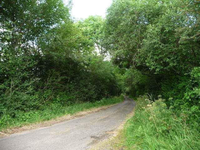
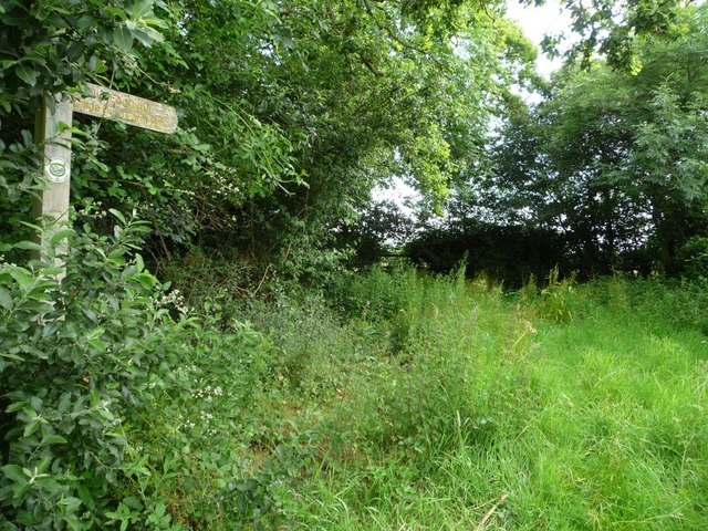
Visitors to Bickenhall Plain can enjoy several walking trails that crisscross the area, providing an opportunity to explore the beauty of the downs and moorland up close. These trails offer panoramic views of the rolling hills and valleys, making it an ideal location for nature enthusiasts and photographers.
In addition to its natural beauty, Bickenhall Plain has historical significance. The area was once used for grazing sheep and cattle, and the remains of ancient field systems can still be seen today. These remnants provide a glimpse into the agricultural practices of the past, adding an extra layer of interest for visitors.
Overall, Bickenhall Plain offers a tranquil and scenic escape for those seeking to connect with nature. Whether exploring the diverse wildlife, taking in the breathtaking views, or delving into its historical past, this area in Somerset is a true gem for outdoor enthusiasts.
If you have any feedback on the listing, please let us know in the comments section below.
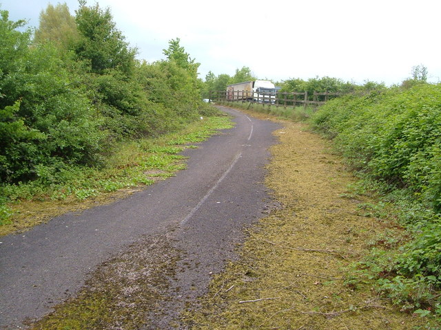
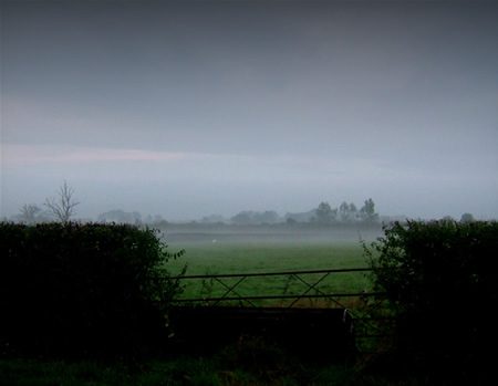
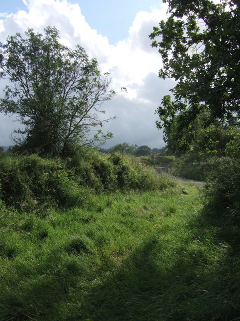
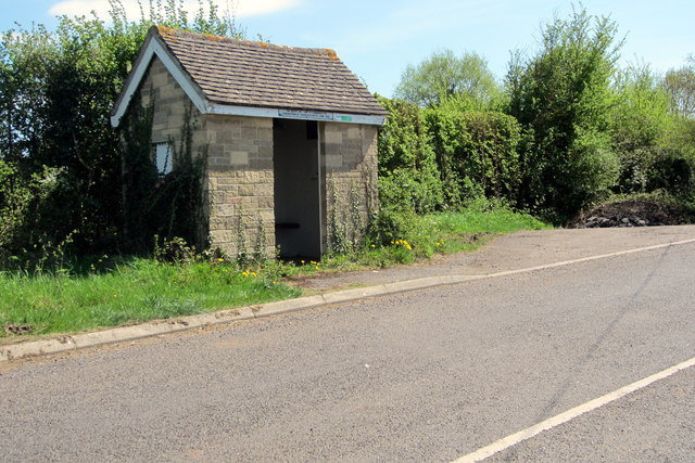
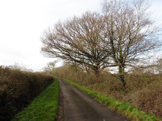
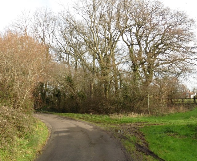
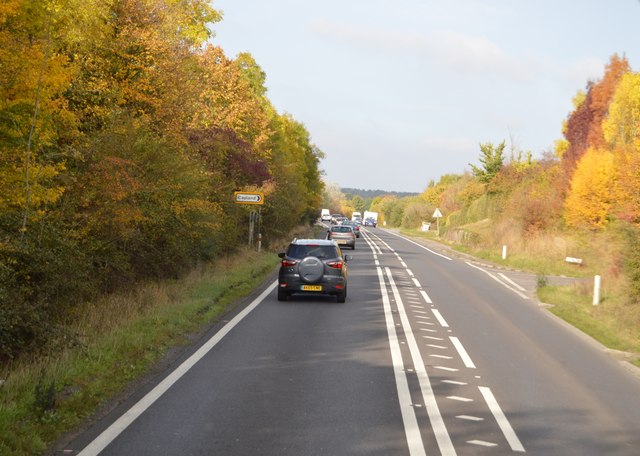
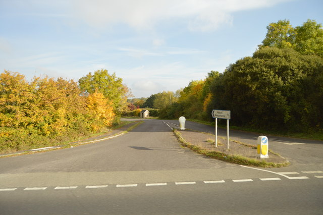
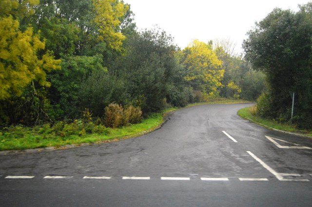
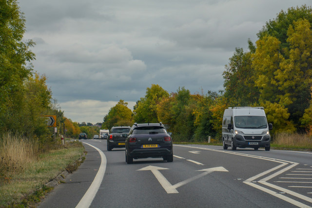
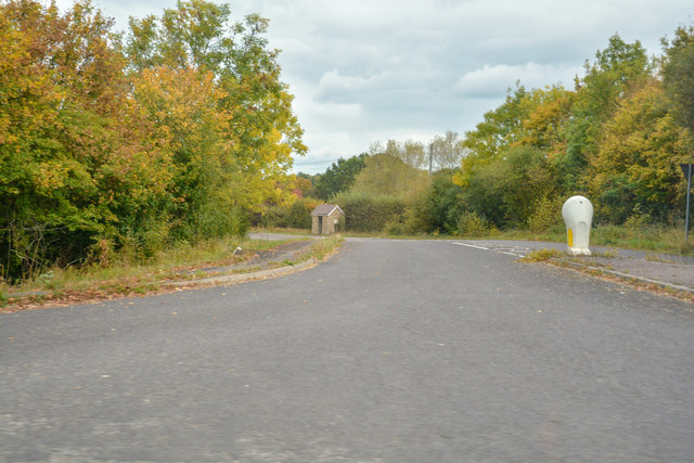
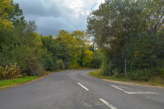
Bickenhall Plain Images
Images are sourced within 2km of 50.962792/-3.02034 or Grid Reference ST2818. Thanks to Geograph Open Source API. All images are credited.
Bickenhall Plain is located at Grid Ref: ST2818 (Lat: 50.962792, Lng: -3.02034)
Administrative County: Somerset
District: Somerset West and Taunton
Police Authority: Avon and Somerset
What 3 Words
///amid.tadpole.reset. Near Creech St Michael, Somerset
Nearby Locations
Related Wikis

Bickenhall
Bickenhall is a hamlet and parish in Somerset, England, situated 5 miles (8.0 km) south east of Taunton. The parish, which includes the hamlet of Batten...

Curland
Curland is a village and civil parish in Somerset, England, situated 6 miles (9.7 km) south of Taunton. The village has a population of 225. The parish...

William Portman Almshouses
The William Portman Almshouses in Staple Fitzpaine, Somerset, England was built in 1643. It is a Grade II* listed building. == History == The almshouses...

Staple Fitzpaine
Staple Fitzpaine is a village and civil parish in Somerset, England, situated 5 miles (8.0 km) south of Taunton. The village has a population of 189 and...
All Saints Church, Curland
All Saints Church is a former Church of England parish church in Curland, Somerset, England. Designed by Benjamin Ferrey, it was built in 1855–56 to replace...

Barrington Hill Meadows
Barrington Hill Meadows (grid reference ST300170) is a 16.1 hectare (39.5 acre) biological Site of Special Scientific Interest in Somerset, England, notified...

West Hatch
West Hatch is a hamlet and civil parish in Somerset, England, situated 5 miles (8.0 km) south east of Taunton. It has a population of 306. == History... ==
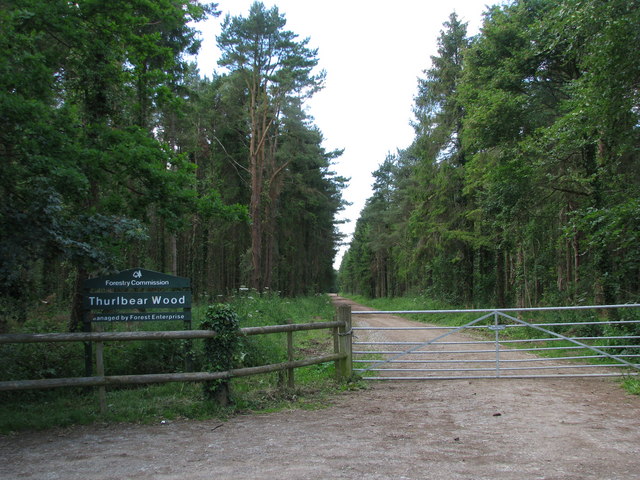
Thurlbear Wood and Quarrylands
Thurlbear Wood and Quarrylands (grid reference ST270210) is a 26.7 hectare (65.8 acre) biological Site of Special Scientific Interest south of Stoke St...
Nearby Amenities
Located within 500m of 50.962792,-3.02034Have you been to Bickenhall Plain?
Leave your review of Bickenhall Plain below (or comments, questions and feedback).