Bickenhall
Civil Parish in Somerset Somerset West and Taunton
England
Bickenhall
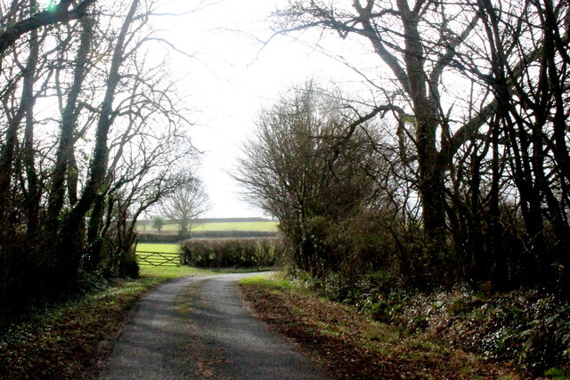
Bickenhall is a civil parish located in the county of Somerset, England. Situated approximately 7 miles west of the town of Taunton, it covers an area of around 3 square miles. Bickenhall is nestled within the beautiful countryside of the Taunton Deane district, surrounded by picturesque farmland and rolling hills.
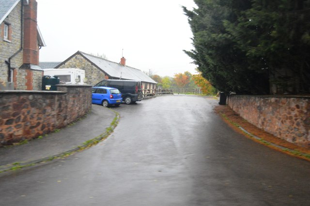
The parish is relatively small, with a population of just under 200 residents. The village itself consists of a few scattered houses and farms, giving it a peaceful and rural atmosphere. Bickenhall is known for its tranquil and idyllic setting, making it a popular destination for those seeking a quiet retreat away from the hustle and bustle of city life.
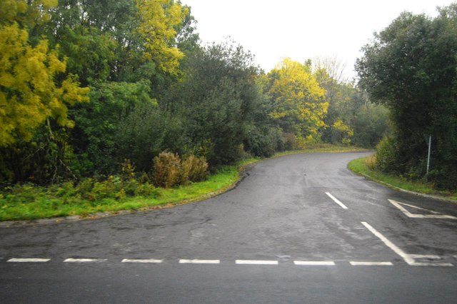
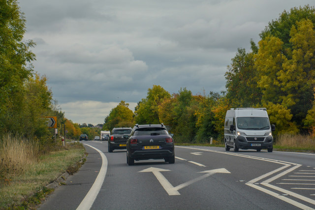
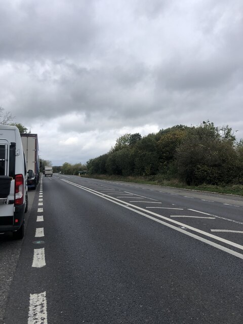
The parish is well-connected, with good transport links to nearby towns and cities. The A358 road runs through Bickenhall, providing easy access to Taunton and other major routes. Additionally, the village is served by several bus routes, connecting it to surrounding areas.
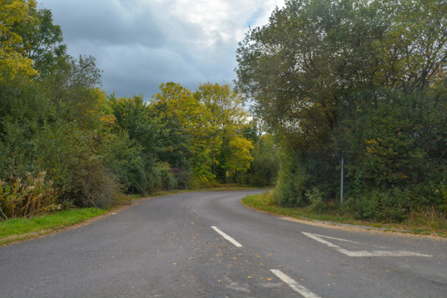
The landscape surrounding Bickenhall offers plenty of opportunities for outdoor activities and exploration. The countryside is dotted with footpaths and bridleways, making it a great place for walking, cycling, and horseback riding. The nearby Quantock Hills, designated an Area of Outstanding Natural Beauty, are also within easy reach, offering stunning views and a wealth of wildlife.
Although small in size, Bickenhall has a strong sense of community. The parish holds regular events and activities, including social gatherings and fundraising events, bringing residents together. Overall, Bickenhall is a charming and peaceful village, perfect for those seeking a countryside escape in Somerset.
If you have any feedback on the listing, please let us know in the comments section below.
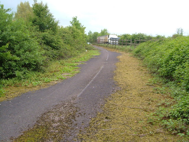
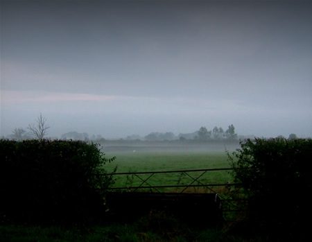
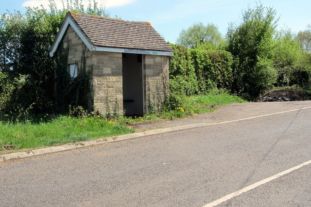
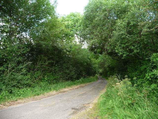
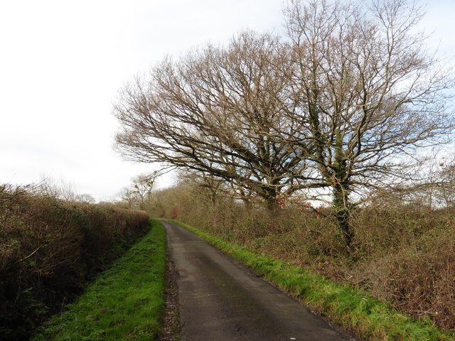
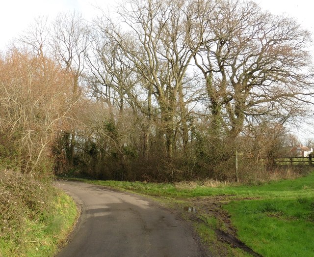
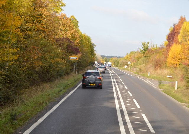
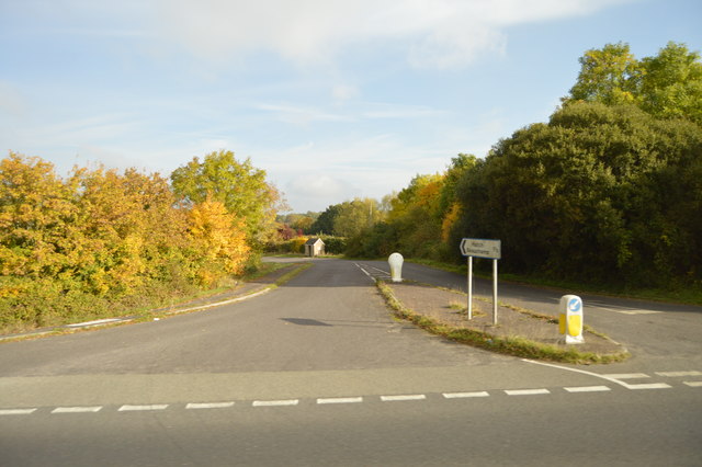
Bickenhall Images
Images are sourced within 2km of 50.965229/-3.018825 or Grid Reference ST2818. Thanks to Geograph Open Source API. All images are credited.


Bickenhall is located at Grid Ref: ST2818 (Lat: 50.965229, Lng: -3.018825)
Administrative County: Somerset
District: Somerset West and Taunton
Police Authority: Avon and Somerset
What 3 Words
///trucked.connected.steam. Near Creech St Michael, Somerset
Nearby Locations
Related Wikis

Bickenhall
Bickenhall is a hamlet and parish in Somerset, England, situated 5 miles (8.0 km) south east of Taunton. The parish, which includes the hamlet of Batten...

Curland
Curland is a village and civil parish in Somerset, England, situated 6 miles (9.7 km) south of Taunton. The village has a population of 225. The parish...

West Hatch
West Hatch is a hamlet and civil parish in Somerset, England, situated 5 miles (8.0 km) south east of Taunton. It has a population of 306. == History... ==

William Portman Almshouses
The William Portman Almshouses in Staple Fitzpaine, Somerset, England was built in 1643. It is a Grade II* listed building. == History == The almshouses...

Staple Fitzpaine
Staple Fitzpaine is a village and civil parish in Somerset, England, situated 5 miles (8.0 km) south of Taunton. The village has a population of 189 and...

Barrington Hill Meadows
Barrington Hill Meadows (grid reference ST300170) is a 16.1 hectare (39.5 acre) biological Site of Special Scientific Interest in Somerset, England, notified...

Hatch Beauchamp
Hatch Beauchamp is a village and civil parish in Somerset, England, situated 5 miles (8.0 km) south east of Taunton. The village has a population of 620...
All Saints Church, Curland
All Saints Church is a former Church of England parish church in Curland, Somerset, England. Designed by Benjamin Ferrey, it was built in 1855–56 to replace...
Nearby Amenities
Located within 500m of 50.965229,-3.018825Have you been to Bickenhall?
Leave your review of Bickenhall below (or comments, questions and feedback).