Bickenhill and Marston Green
Civil Parish in Warwickshire Solihull
England
Bickenhill and Marston Green
Bickenhill and Marston Green is a civil parish located in Warwickshire, England. It is situated approximately 10 miles east of Birmingham city center and covers an area of around 10 square miles. The parish is home to a population of approximately 10,000 residents.
Bickenhill and Marston Green is a predominantly residential area with a mix of housing types, including detached houses, semi-detached houses, and apartments. The area is known for its peaceful and picturesque countryside, with many green spaces and parks scattered throughout the parish. The parish is also home to several small businesses, shops, and amenities, providing convenience for its residents.
One notable feature of Bickenhill and Marston Green is its close proximity to Birmingham Airport, which lies to the south of the parish. This makes the area a popular choice for those who work at the airport or frequently travel for business or leisure.
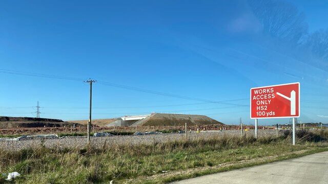
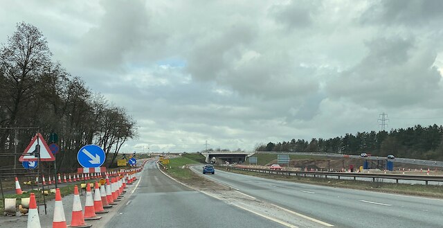
Transportation in the parish is well-served, with a railway station in Marston Green providing direct links to Birmingham, Coventry, and London. The area is also connected to the wider road network, with easy access to major roads such as the M42 and A45.
Bickenhill and Marston Green offers a range of recreational activities for its residents, including sports facilities, community centers, and a golf course. The parish also hosts various events throughout the year, bringing the community together.
Overall, Bickenhill and Marston Green is a thriving residential area with good transport links, picturesque surroundings, and a strong community spirit.
If you have any feedback on the listing, please let us know in the comments section below.
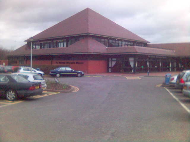
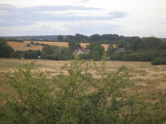
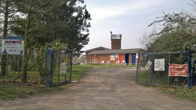
Bickenhill and Marston Green Images
Images are sourced within 2km of 52.454891/-1.729369 or Grid Reference SP1884. Thanks to Geograph Open Source API. All images are credited.


Bickenhill and Marston Green is located at Grid Ref: SP1884 (Lat: 52.454891, Lng: -1.729369)
Administrative County: West Midlands
District: Solihull
Police Authority: West Midlands
What 3 Words
///coherent.shakes.relay. Near Bickenhill, West Midlands
Nearby Locations
Related Wikis

Air-Rail Link
The Air-Rail Link is a people mover linking Birmingham Airport with Birmingham International railway station and the National Exhibition Centre in England...
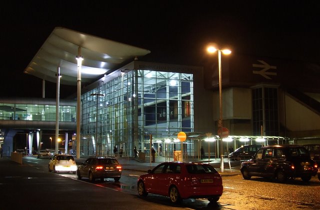
Birmingham International railway station
Birmingham International is a railway station known by code "BHI" in the Metropolitan Borough of Solihull in the West Midlands of England, just east of...
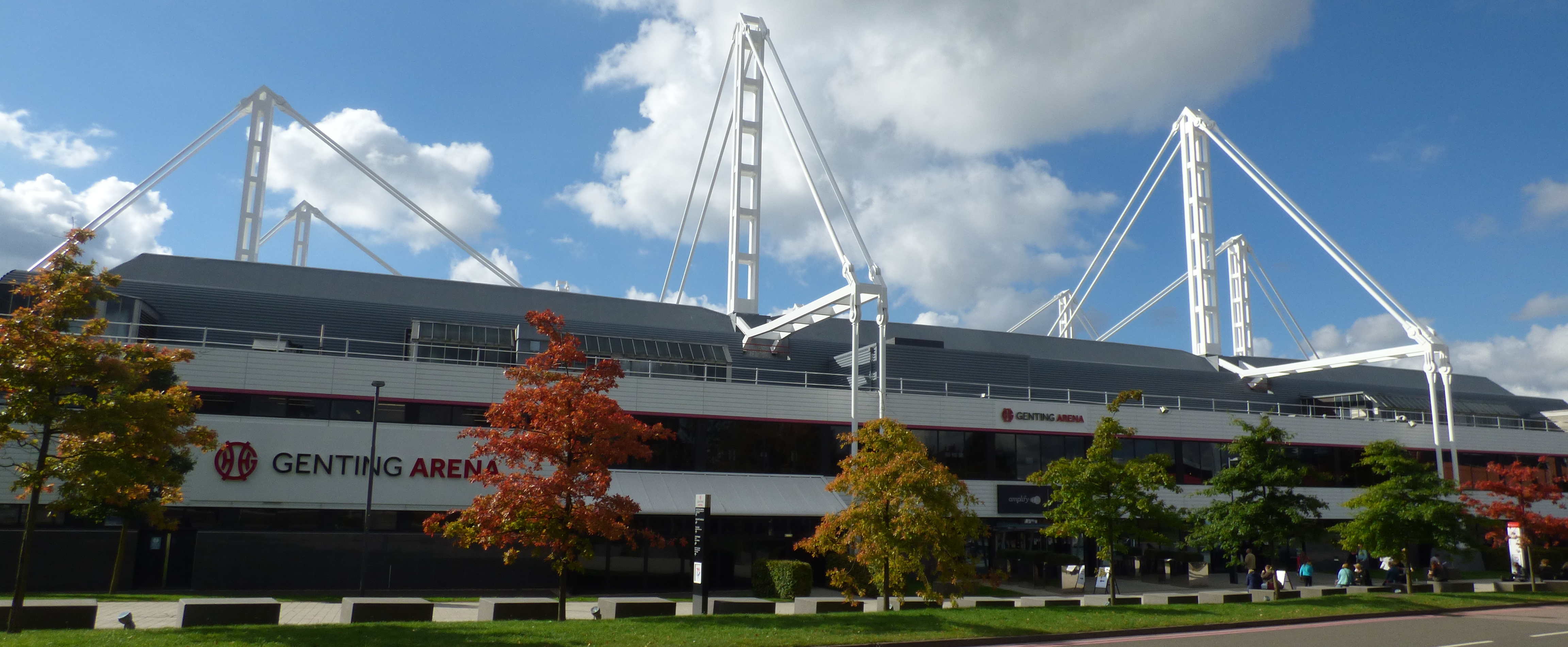
Resorts World Arena
The Resorts World Arena is a multipurpose indoor arena located at the National Exhibition Centre (NEC) in Solihull, England. It has a capacity of 15,685...

UK Games Expo
UK Games Expo (UKGE) is tabletop-game convention and trade fair held annually at the National Exhibition Centre (NEC) and the Hilton Birmingham Metropole...
NHS Nightingale Hospital Birmingham
The NHS Nightingale Hospital Birmingham was the second of the temporary NHS Nightingale Hospitals set up by NHS England to help to deal with the COVID...
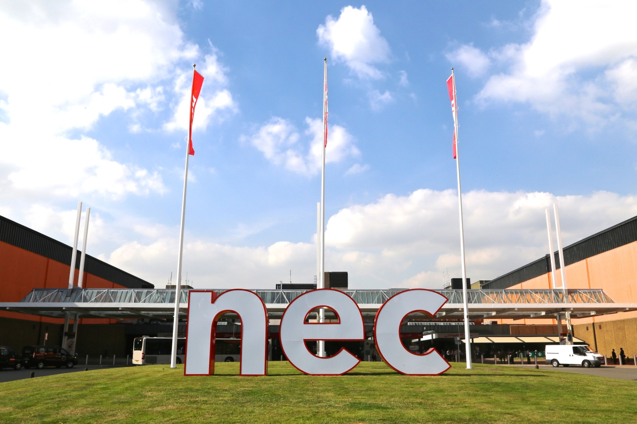
National Exhibition Centre
The National Exhibition Centre (NEC) is an exhibition centre located in Marston Green, England, near to Birmingham and Solihull. It is near junction 6...
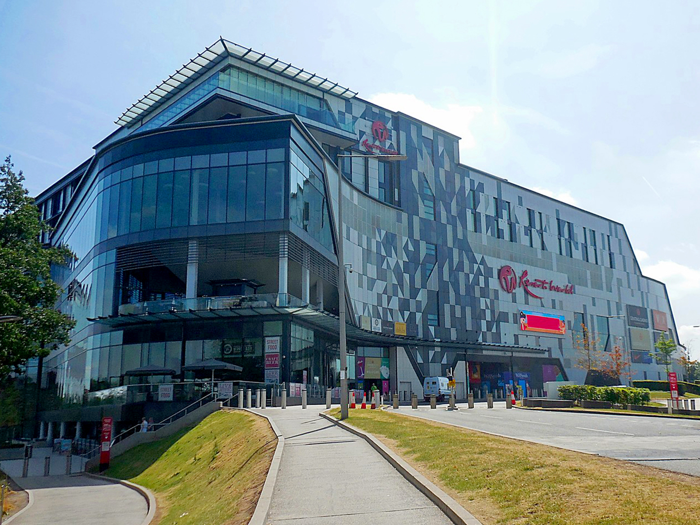
Resorts World Birmingham
Resorts World Birmingham is an entertainment complex in Solihull, near Birmingham England. It has the largest casino in the United Kingdom, shopping mall...
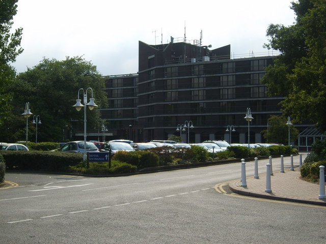
Hilton Birmingham Metropole
The Hilton Birmingham Metropole is the largest hotel in England outside London, with 790 rooms and suites, and approximately 6,000 m2 (65,000 sq ft) of...
Nearby Amenities
Located within 500m of 52.454891,-1.729369Has TV screens
Have you been to Bickenhill and Marston Green?
Leave your review of Bickenhill and Marston Green below (or comments, questions and feedback).