Bleaberry Fell

Downs, Moorland in Cumberland Allerdale

England

Bleaberry Fell

OS Cut Mark - Rough How Bridge <span class="nowrap"><a title="https://www.bench-marks.org.uk/bm27678" rel="nofollow ugc noopener" href="https://www.bench-marks.org.uk/bm27678">Link</a><img style="margin-left:2px;" alt="External link" title="External link - shift click to open in new window" src="https://s1.geograph.org.uk/img/external.png" width="10" height="10"/></span>
OS Cut Mark - Rough How Bridge Credit: thejackrustles

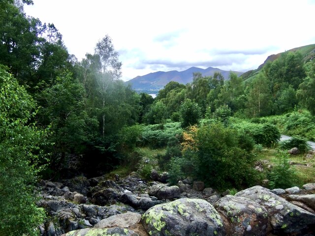
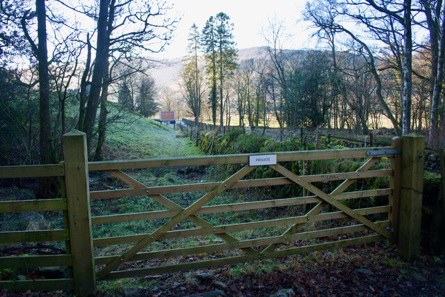
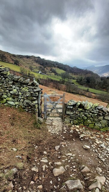
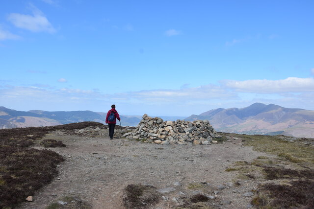
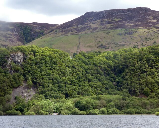
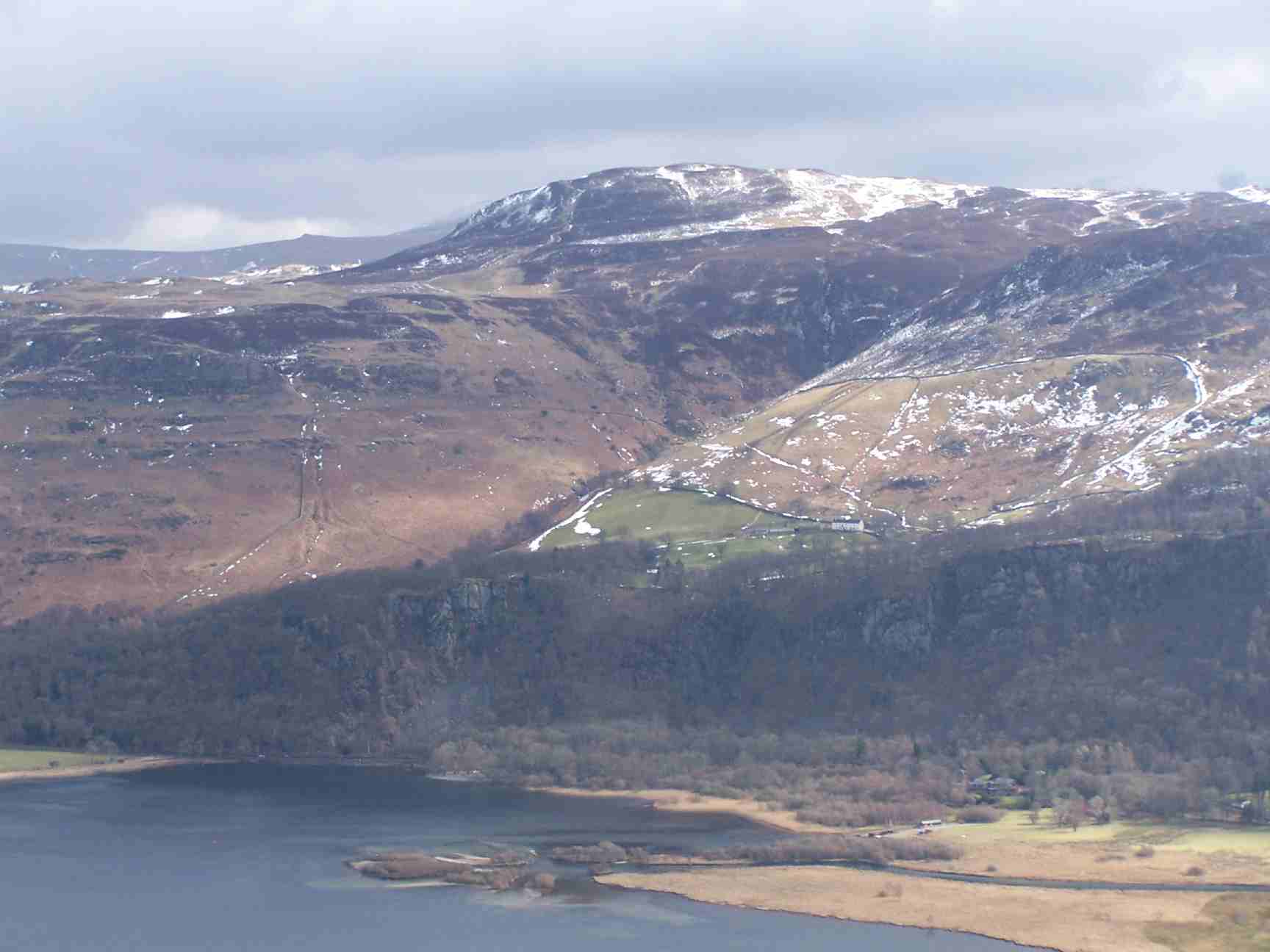
Bleaberry Fell, located in Cumberland, England, is a stunning natural landscape that encompasses downs, moorland, and a variety of unique features. Situated in the northern part of the Lake District National Park, it offers visitors breathtaking views and a diverse range of outdoor activities.

The fell is characterized by its rolling hills and open grassy slopes, providing ample opportunities for walking, hiking, and picnicking. The terrain is relatively gentle, making it suitable for people of all abilities to explore and enjoy. Its lower elevations are covered in vibrant heather and bracken, which create a beautiful tapestry of colors during the summer months.

One of the standout features of Bleaberry Fell is its ancient stone circle, known as the "Grey Croft Stone Circle." This archaeological site is believed to date back to the Bronze Age and is of great historical and cultural significance. It offers a glimpse into the lives and rituals of the people who once inhabited this area thousands of years ago.

The fell is also home to an array of wildlife, including red deer, birds of prey, and rare plant species. Nature enthusiasts will appreciate the opportunity to spot these creatures in their natural habitat, adding to the overall charm and allure of the area.

In addition to its natural beauty, Bleaberry Fell is conveniently located near a number of charming villages and towns, such as Keswick and Grasmere, offering visitors a chance to explore the local culture, cuisine, and history.

Overall, Bleaberry Fell in Cumberland is a must-visit destination for nature lovers, history enthusiasts, and anyone seeking a peaceful retreat amidst the stunning scenery of the Lake District.

If you have any feedback on the listing, please let us know in the comments section below.

Bleaberry Fell Images

Images are sourced within 2km of 54.565616/-3.1082232 or Grid Reference NY2819. Thanks to Geograph Open Source API. All images are credited.

OS Cut Mark - Rough How Bridge <span class="nowrap"><a title="https://www.bench-marks.org.uk/bm27678" rel="nofollow ugc noopener" href="https://www.bench-marks.org.uk/bm27678">Link</a><img style="margin-left:2px;" alt="External link" title="External link - shift click to open in new window" src="https://s1.geograph.org.uk/img/external.png" width="10" height="10"/></span>
OS Cut Mark - Rough How Bridge
Barrow Beck
Barrow Beck
Summit, Bleaberry Fell
Ashness Bridge On the minor road from Barrow Bay to Watendlath, the Grade II listed Ashness Bridge over Barrow Beck is a popular tourist attraction.
Barrow Beck flows into Derwentwater and thence into the River Derwent.
Ashness Bridge
On the minor road from Barrow Bay to Watendlath, the Grade II listed Ashness Bridge over Barrow Beck is a popular tourist attraction. Barrow Beck flows into Derwentwater and thence into the River Derwent.
Footpath through Lodore Hotel On my map this is supposed to be a Permissive path to avoid using the road. On the latest O.S. mapping it's classed as a Public Footpath.

Either way its use is not welcoming and the 'bridge' over the beck just beyond the gate is very precarious.
Footpath through Lodore Hotel
On my map this is supposed to be a Permissive path to avoid using the road. On the latest O.S. mapping it's classed as a Public Footpath. Either way its use is not welcoming and the 'bridge' over the beck just beyond the gate is very precarious.
Ashness Bridge
Ashness Bridge
Gate on Brown Knotts
Bleaberry Fell The wind shelter on the summit of the fell. Looking north west with Skiddaw in the distance on the right of the shot.
Bleaberry Fell
The wind shelter on the summit of the fell. Looking north west with Skiddaw in the distance on the right of the shot.
Wooded cliffs overlooking Derwentwater 
Between the Bleaberry Fell and the lakeside are cliffs covered in trees. On the left, above a landslide, there seems to be some kind of face.
Wooded cliffs overlooking Derwentwater
Between the Bleaberry Fell and the lakeside are cliffs covered in trees. On the left, above a landslide, there seems to be some kind of face.
Derwent Water Derwentwater - one word or two? - either is acceptable. The boat in the photograph has obviously sunk. The amount visible above the water shows that the lake is not actually very deep at this point - maybe it simply ran aground.
Derwent Water
Derwentwater - one word or two? - either is acceptable. The boat in the photograph has obviously sunk. The amount visible above the water shows that the lake is not actually very deep at this point - maybe it simply ran aground.
Ashness Bridge The one and only!
Ashness Bridge
The one and only!
Artist at work - Ashness Bridge A popular place to linger with a good impression of the view on the canvas.
Artist at work - Ashness Bridge
A popular place to linger with a good impression of the view on the canvas.
Mary Mount Hotel The Mary Mount Hotel from the west, close to the Lodore landing stage on Derwentwater.
Mary Mount Hotel
The Mary Mount Hotel from the west, close to the Lodore landing stage on Derwentwater.
Ashness Bridge near Derwentwater Ashness Bridge over Barrow Beck is a highly popular tourist attraction. This is an old packhorse bridge on the single track road to Watendlath. Barrow Beck flows into Derwentwater. This is one of the most photographed bridges in Britain. Viewed on a day in early autumn.
Ashness Bridge near Derwentwater
Ashness Bridge over Barrow Beck is a highly popular tourist attraction. This is an old packhorse bridge on the single track road to Watendlath. Barrow Beck flows into Derwentwater. This is one of the most photographed bridges in Britain. Viewed on a day in early autumn.
Land below Low Strutta Wood The view is along the eastern side of Derwent Water from the Lodore landing stage.
The deciduous trees of Low Strutta Wood rise at the right side of the image, above the reeds.
Buttresses of Falcon Crag are partially sunlit high on the mountain slope.
The distant hills are Lonscale Fell and Latrigg.
Land below Low Strutta Wood
The view is along the eastern side of Derwent Water from the Lodore landing stage. The deciduous trees of Low Strutta Wood rise at the right side of the image, above the reeds. Buttresses of Falcon Crag are partially sunlit high on the mountain slope. The distant hills are Lonscale Fell and Latrigg.
In Naddle Dale An area of cleared and light woodland on the valley floor below The Benn, with Skiddaw in the distance.
In Naddle Dale
An area of cleared and light woodland on the valley floor below The Benn, with Skiddaw in the distance.
The old road now by-passed
The old A591
The old A591
Show me another place!

Bleaberry Fell is located at Grid Ref: NY2819 (Lat: 54.565616, Lng: -3.1082232)

Administrative County: Cumbria

District: Allerdale

Police Authority: Cumbria

What 3 Words

///minimums.pushes.galloped. Near Keswick, Cumbria

Related Wikis

Bleaberry Fell

Bleaberry Fell is a fell in the Lake District in Cumbria, England, with a height of 590 metres (1,936 ft). It stands on the main watershed between Borrowdale...
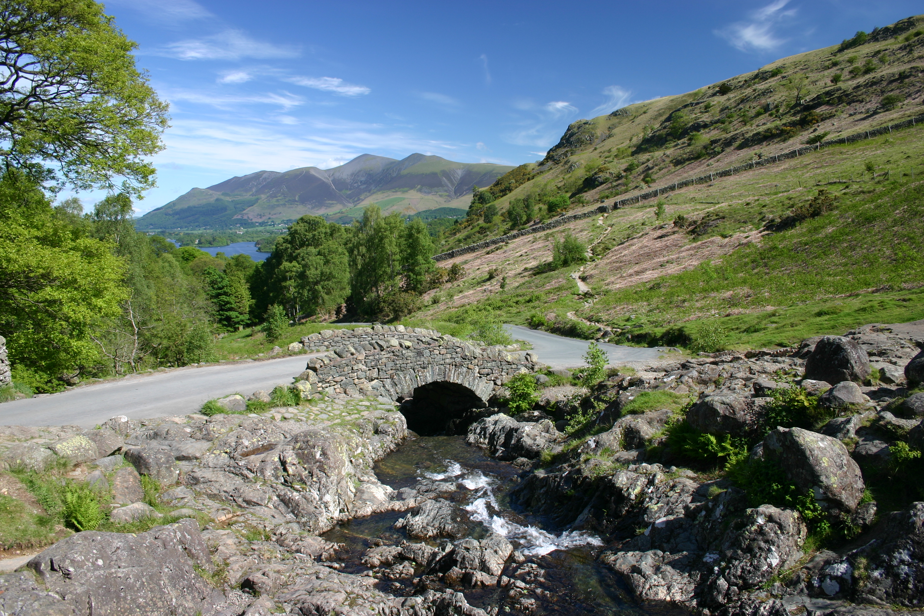
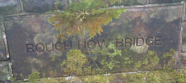
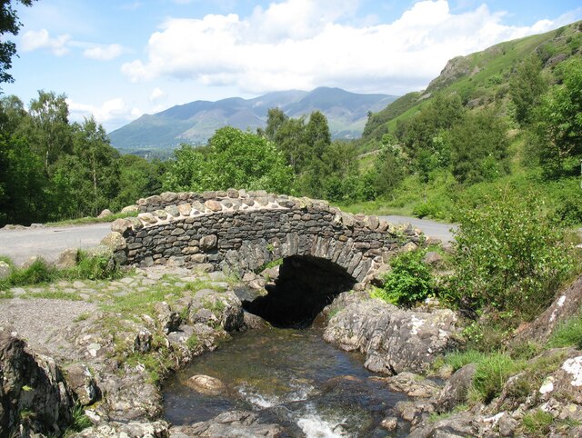
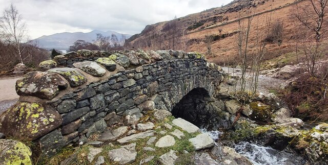
Ashness Bridge

Ashness Bridge is a traditional stone-built bridge on the single-track road from the Borrowdale road (B5289) to Watendlath, in the English Lake District...

High Seat (Lake District)

High Seat is a fell in the centre of the English Lake District. Despite being below 2,000 ft it is the highest point for about 5 miles (8 km) in any direction...

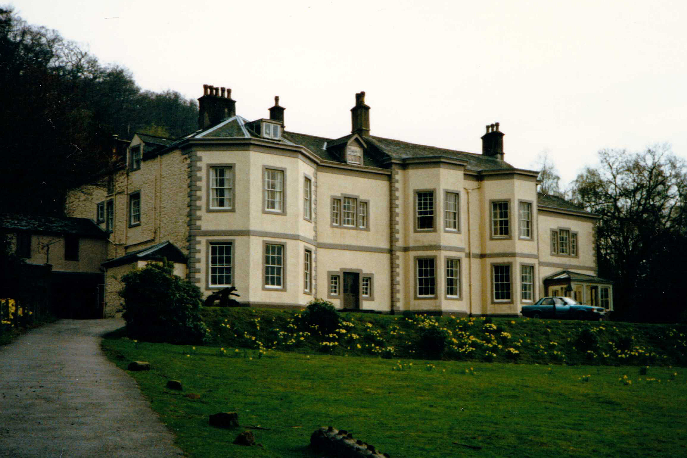
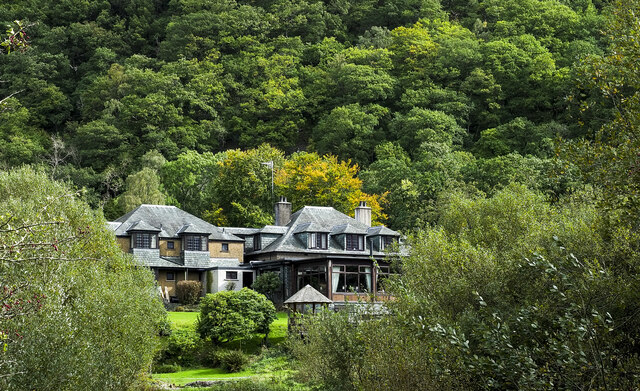
Barrow House, Cumbria

Barrow House is a late 18th-century mansion situated on the eastern shore of Derwentwater in Borrowdale within the Lake District National Park, in the...

Walla Crag

Walla Crag is a fell in the English Lake District, near Keswick. The fell is a short walk from Keswick and overlooks Derwentwater. == Topography == The...

Bell Crags

Bell Crags (also known as Long Moss or Blea Tarn Fell) is a hill of 559.1 metres (1,834 ft) in the Lake District, England. It lies between Borrowdale...

Cataract of Lodore

"The Cataract of Lodore" is a poem written in 1820 by the English poet Robert Southey which describes the Lodore Falls on the Watendlath. == Publication... ==

Raven Crag

Raven Crag is a fell in the English Lake District that overlooks Thirlmere reservoir. It has subsidiary summits The Benn and Castle Crag. == Topography... ==

Nearby Amenities

Located within 500m of 54.565616,-3.1082232
Bleaberry Fell
Ele: 590
Natural: peak
Source: GPS_survey
Wikidata: Q4925709
Wikipedia: en:Bleaberry Fell
Lat/Long: 54.566396/-3.1063336
Barrier: stile
Material: wood
Stile: stepover
Lat/Long: 54.5630939/-3.1032861
The data included in this document is from www.openstreetmap.org. The data is made available under ODbL.

Have you been to Bleaberry Fell?

Leave your review of Bleaberry Fell below (or comments, questions and feedback).