Mòine a' Ghiubhais
Downs, Moorland in Aberdeenshire
Scotland
Mòine a' Ghiubhais
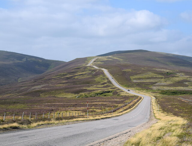
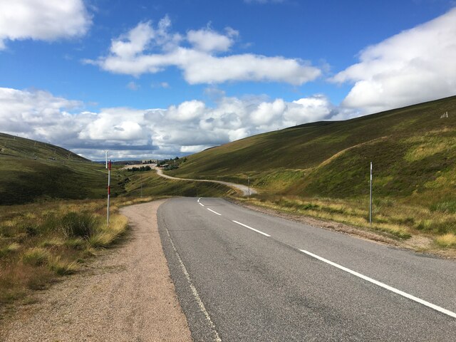
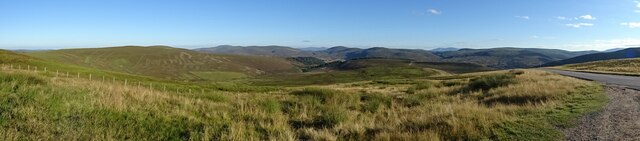
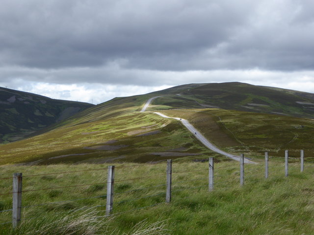
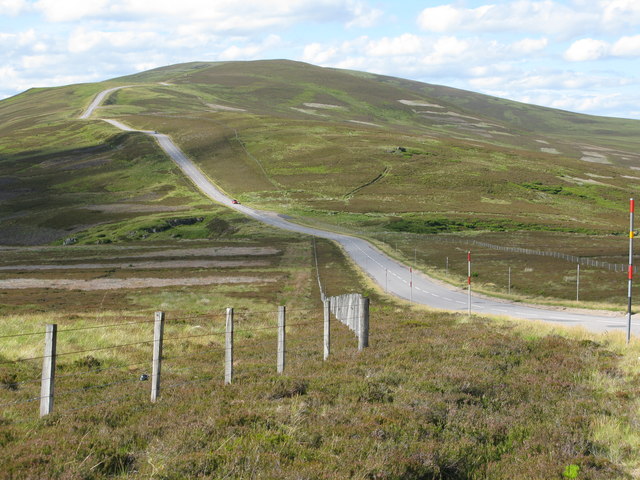
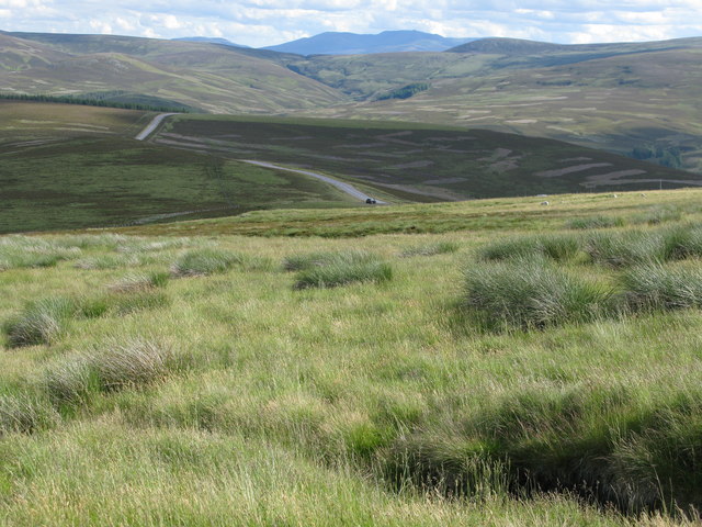
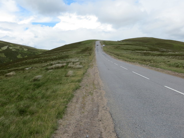
Mòine a' Ghiubhais, also known as the Downs, is a vast expanse of moorland located in Aberdeenshire, Scotland. Covering an area of approximately 500 hectares, it is a prominent natural feature of the region.
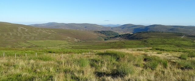
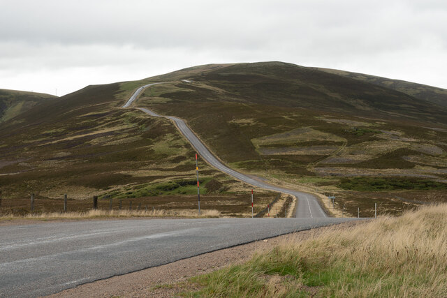
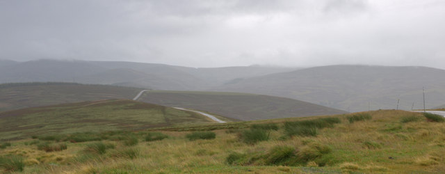
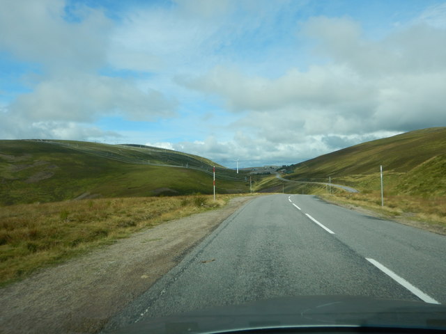
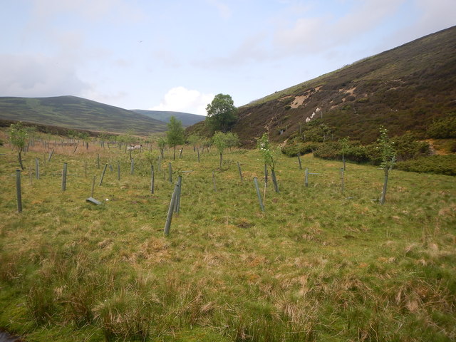
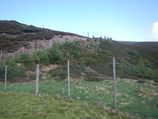
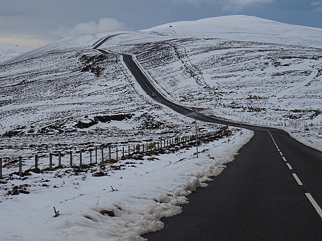
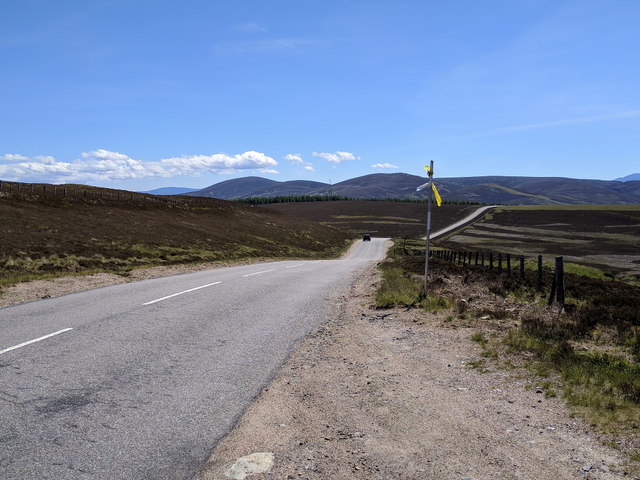
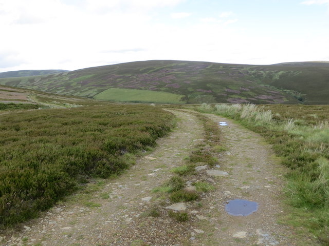
The landscape of Mòine a' Ghiubhais is characterized by rolling hills covered in heather and grass, interspersed with scattered birch and pine trees. The moorland is mostly flat, with occasional rocky outcrops adding texture to the terrain. The area is crisscrossed by numerous streams and small rivers, creating a network of waterways that enhance the beauty of the landscape.
Mòine a' Ghiubhais is home to a diverse range of fauna and flora. The heather-covered moorland provides a habitat for various species of birds, including golden plovers, skylarks, and curlews. The area also supports a population of red deer, which can often be spotted grazing on the hillsides.
For outdoor enthusiasts, Mòine a' Ghiubhais offers opportunities for activities such as hiking, birdwatching, and photography. The expansive open space and unspoiled natural beauty make it a popular destination for nature lovers and those seeking tranquility and solitude.
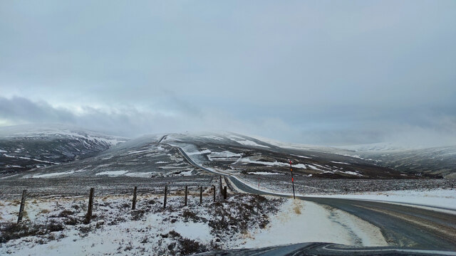
Visitors to Mòine a' Ghiubhais should come prepared with appropriate clothing and footwear, as the weather on the moorland can be unpredictable, with strong winds and sudden changes in conditions. Additionally, it is important to respect the environment and follow any guidelines or restrictions put in place to preserve the delicate ecosystem of this unique moorland.
If you have any feedback on the listing, please let us know in the comments section below.
Mòine a' Ghiubhais Images
Images are sourced within 2km of 57.182572/-3.23206 or Grid Reference NJ2510. Thanks to Geograph Open Source API. All images are credited.

Mòine a' Ghiubhais is located at Grid Ref: NJ2510 (Lat: 57.182572, Lng: -3.23206)
Unitary Authority: Aberdeenshire
Police Authority: North East
What 3 Words
///rationing.remainder.velocity. Near Ballater, Aberdeenshire
Nearby Locations
Related Wikis
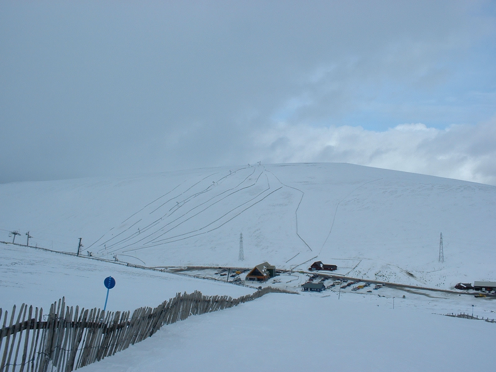
Lecht Ski Centre
The Lecht Ski Centre is an alpine ski area in the Cairngorms in the Scottish Highlands. The ski slopes are set around the mountains Beinn a' Chruinnich...

Cock Bridge (Aberdeenshire)
Cock Bridge is a settlement in Aberdeenshire, Scotland, located in the Cairngorms National Park, on the A939 road near Corgarff and Corgarff Castle, between...

Corgarff Castle
Corgarff Castle is located slightly west of the village of Corgarff, in Aberdeenshire, north-east Scotland. It stands by the Lecht road, which crosses...

Corgarff
Corgarff (Scottish Gaelic: Corr Garaidh) is a hamlet in Aberdeenshire, Scotland, in the Grampian Mountains. The nearby Corgarff Castle was used as a military...

Delnadamph Lodge
Delnadamph Lodge was located on the Balmoral Estate about 8 miles (13 km) north of the castle. The lodge and its estate lands were bought by Queen Elizabeth...

Ladder Hills
The Ladder Hills (Scottish Gaelic: Monadh an Fhàraidh) are a range of hills in northeast Scotland which straddle the border between Aberdeenshire and Moray...
Càrn Mòr (Ladder Hills)
Càrn Mòr (804 m) is the highest mountain of the Ladder Hills on the border of Aberdeenshire and Moray, Scotland. It is located northeast of the Cairngorm...

West Aberdeenshire and Kincardine (UK Parliament constituency)
West Aberdeenshire and Kincardine is a county constituency of the House of Commons of the Parliament of the United Kingdom of Great Britain and Northern...
Nearby Amenities
Located within 500m of 57.182572,-3.23206Have you been to Mòine a' Ghiubhais?
Leave your review of Mòine a' Ghiubhais below (or comments, questions and feedback).