Convene Muir

Downs, Moorland in Banffshire

Scotland

Convene Muir

Stream course Course of Allt nan Gamhainn stream
Stream course Credit: David Lecore

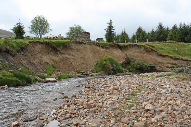
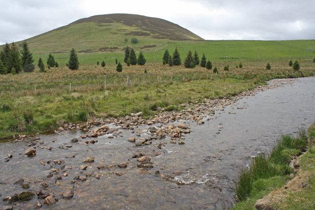
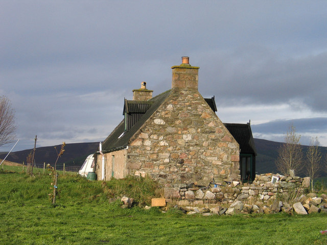
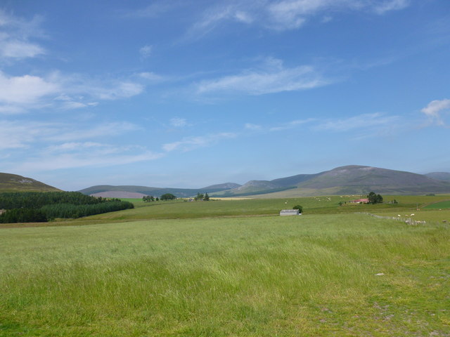
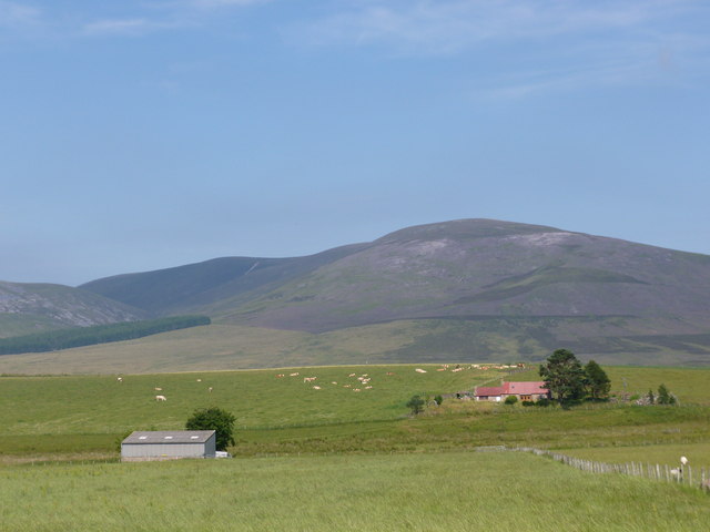
Convene Muir, located in Banffshire, is a picturesque area that encompasses both downs and moorland. Situated in the northeastern region of Scotland, it covers a vast expanse of land characterized by rolling hills, heather-covered moors, and stunning panoramic views.

The downs of Convene Muir are characterized by their gentle slopes and fertile soil. These grassy uplands provide excellent grazing grounds for livestock, with herds of sheep dotting the landscape. The downs are also home to a variety of flora and fauna, including wildflowers, small mammals, and bird species such as skylarks and meadow pipits.

Moving towards the moorland, the landscape transforms into a more rugged and wild environment. Here, heather dominates the terrain, creating a beautiful purple blanket that stretches as far as the eye can see. Moorland birds such as red grouse and curlews thrive in this habitat, while iconic Scottish wildlife like red deer can also be spotted.

Convene Muir offers visitors a chance to immerse themselves in the natural beauty of the Scottish countryside. Hiking trails crisscross the area, allowing outdoor enthusiasts to explore its diverse landscapes. The downs provide perfect picnic spots and gentle walks, while the moorland offers a more challenging terrain for adventurous hikers.

Whether it's admiring the vibrant colors of the heather-clad moors or enjoying a peaceful hike through the rolling downs, Convene Muir is a must-visit destination for nature lovers seeking to experience the splendor of Scotland's countryside.

If you have any feedback on the listing, please let us know in the comments section below.

Convene Muir Images

Images are sourced within 2km of 57.29448/-3.2360315 or Grid Reference NJ2523. Thanks to Geograph Open Source API. All images are credited.

Stream course Course of Allt nan Gamhainn stream
Stream course
Course of Allt nan Gamhainn stream
Erosion, River Livet The ruined buildings of Poolwick are about to fall in.
Erosion, River Livet
The ruined buildings of Poolwick are about to fall in.
River Livet near Glack Looking towards The Bochel.
River Livet near Glack
Looking towards The Bochel.
The Glorious 12th on the moor - an empty grouse butt I spent the day around Glen Livet, to the east of the Ladder Hills, and never heard a shot. I only saw two small covies all day, but the moor is evidently kept as there are patches of previously burnt heather and a lot of young heather (which always makes walking easier).
The Glorious 12th on the moor - an empty grouse butt
I spent the day around Glen Livet, to the east of the Ladder Hills, and never heard a shot. I only saw two small covies all day, but the moor is evidently kept as there are patches of previously burnt heather and a lot of young heather (which always makes walking easier).
Badievochel Badievochel is a small cottage lying south-east of The Bochel, a modest hill, but a 'Marilyn'.
Badievochel
Badievochel is a small cottage lying south-east of The Bochel, a modest hill, but a 'Marilyn'.
Braes of Glenlivet Carn an t-Suidhe and Corryhabbie Hill rise above Eskemore.
Braes of Glenlivet
Carn an t-Suidhe and Corryhabbie Hill rise above Eskemore.
Eskemore and Corryhabbie Hill The corrugated iron roof of the house at Eskemore stands out in the summer greenness of the Braes of Glenlivet.  The hill in the background is Corryhabbie Hill.
Eskemore and Corryhabbie Hill
The corrugated iron roof of the house at Eskemore stands out in the summer greenness of the Braes of Glenlivet. The hill in the background is Corryhabbie Hill.
Ford and footbridge, Glen Livet Crossing the Livet on the western side of the Ladder Hills.
Ford and footbridge, Glen Livet
Crossing the Livet on the western side of the Ladder Hills.
Skirting the foot of The Bochel Part of The Bochel Circuit path
Skirting the foot of The Bochel
Part of The Bochel Circuit path
Badievochel Cottage The Bochel Circuit path does a right-turn here, conveniently taking in the very corner of this square.
Badievochel Cottage
The Bochel Circuit path does a right-turn here, conveniently taking in the very corner of this square.
Approaching Badievochel Cottage The roof of the cottage can just be seen over the brow of the hill, a little below the horizon.
Ladder Hills in the distance.
Approaching Badievochel Cottage
The roof of the cottage can just be seen over the brow of the hill, a little below the horizon. Ladder Hills in the distance.
The Bochel Circuit path The Bochel rising to the left, Carn Tullich in the centre of the photo
The Bochel Circuit path
The Bochel rising to the left, Carn Tullich in the centre of the photo
The Bochel Circuit path heading west
Looking south from The Bochel Circuit path Towards Chapeltown and the Ladder Hills
Looking south from The Bochel Circuit path
Towards Chapeltown and the Ladder Hills
Upstream view, River Livet A view from the footbridge of the very low water levels in the Livet.
Upstream view, River Livet
A view from the footbridge of the very low water levels in the Livet.
View downstream, River Livet A view from the footbridge of the very low water levels in the Livet.
View downstream, River Livet
A view from the footbridge of the very low water levels in the Livet.
Cattle near Rhindhu, Braes of Glenlivet Pasture land at more than 300 metres above sea level in the Braes of Glenlivet.
Cattle near Rhindhu, Braes of Glenlivet
Pasture land at more than 300 metres above sea level in the Braes of Glenlivet.
Cattle pasture near Rhindhu Extensive wide open pastures near the foot of the Ladder Hills.
Cattle pasture near Rhindhu
Extensive wide open pastures near the foot of the Ladder Hills.
Show me another place!

Convene Muir is located at Grid Ref: NJ2523 (Lat: 57.29448, Lng: -3.2360315)

Unitary Authority: Moray

Police Authority: North East

What 3 Words

///compound.triathlon.balloons. Near Dufftown, Moray

Nearby Locations

Convene Muir

Related Wikis

Braeval distillery

Braeval distillery is a distiller of Scotch whisky in Chapeltown, Banffshire, Scotland. Founded in 1973 as Braes of Glenlivet, the distillery is owned...

Clashnoir

Clashnoir is a settlement in Glenlivet, Moray, Scotland, 92 miles north of Edinburgh and 25 miles south of Elgin.

County of Moray

Moray; (Scottish Gaelic: Moireibh [ˈmɤɾʲəv]) or Morayshire, called Elginshire until 1919, is a historic county, registration county and lieutenancy area...

Scalan

The Scalan was once a seminary and was one of the few places in Scotland where the Roman Catholic faith was kept alive during the troubled times of the...

Auchnarrow

Auchnarrow (Scottish Gaelic: Achadh an Arbha) is a village in Moray, Scotland.

Church of The Incarnation, Tombae

The Church of The Incarnation was built between 1827 and 1829 as a Roman Catholic church, under the patronage of the Gordon family, in Banffshire, Scotland...

Tamnavulin distillery

Tamnavulin distillery is a producer of single malt Scotch whisky that was founded in 1966. The distillery is operated by Whyte & Mackay, which Philippines...

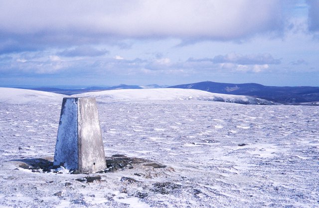
Càrn Mòr (Ladder Hills)

Càrn Mòr (804 m) is the highest mountain of the Ladder Hills on the border of Aberdeenshire and Moray, Scotland. It is located northeast of the Cairngorm...

Have you been to Convene Muir?

Leave your review of Convene Muir below (or comments, questions and feedback).