Old Moss
Wood, Forest in Aberdeenshire
Scotland
Old Moss
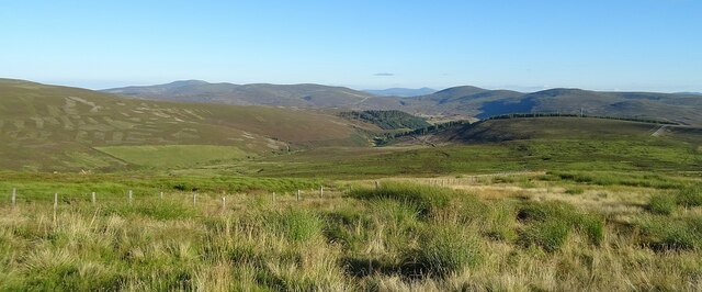
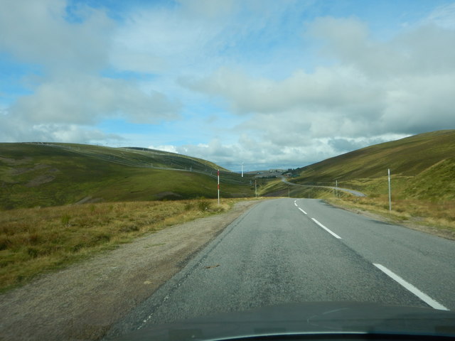
Old Moss is a charming woodland located in Aberdeenshire, Scotland. Spanning over a vast area, it is renowned for its ancient and mystical atmosphere, attracting nature enthusiasts and history buffs alike. The forest is situated within the parish of Tarves, nestled between the bustling towns of Ellon and Methlick.
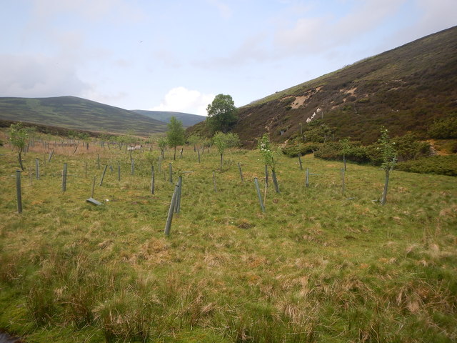
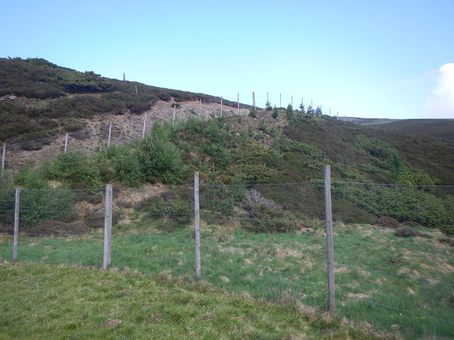
The woodland is predominantly composed of broadleaf trees, including oak, beech, and birch, creating a picturesque landscape that changes with the seasons. The enchanting canopy allows only dappled sunlight to filter through, adding to the ethereal ambiance. Moss-covered rocks, fallen branches, and a dense undergrowth of ferns and wildflowers contribute to the rustic beauty of Old Moss.
The forest boasts a rich history, dating back centuries. It is believed to have been a significant location during Pictish times, with remnants of ancient settlements and burial mounds discovered within its boundaries. These archaeological finds provide a glimpse into the lives of the early inhabitants of the region.
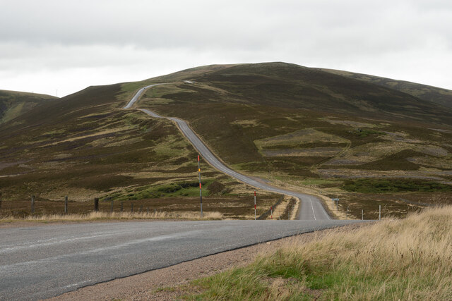
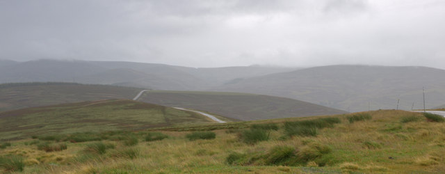
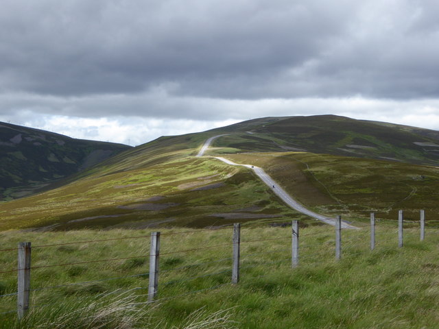
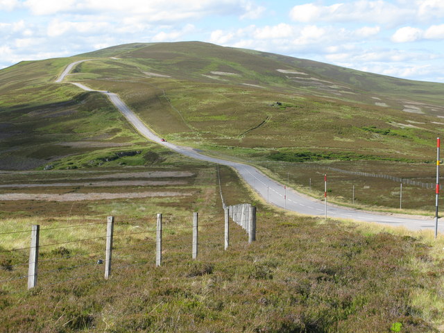
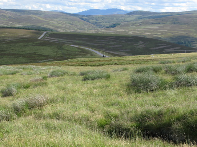
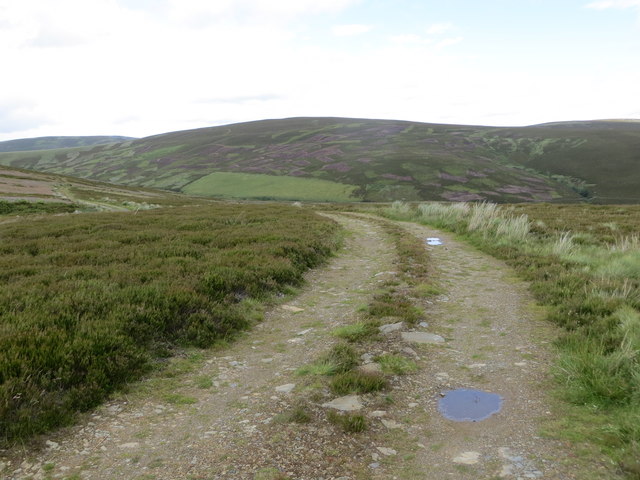
Old Moss offers a network of well-maintained walking trails, providing visitors with the opportunity to explore the woodland's hidden treasures. The paths wind their way through the forest, leading to secluded clearings, babbling brooks, and serene ponds inhabited by various species of wildlife, including deer, squirrels, and a wide array of birdlife.
The forest is also a designated Site of Special Scientific Interest (SSSI) due to its unique ecosystem and rare plant species. Conservation efforts are in place to protect and preserve the biodiversity found within Old Moss.
Overall, Old Moss in Aberdeenshire is a captivating woodland that combines natural beauty, historical significance, and ecological importance, making it a must-visit destination for those seeking tranquility and a connection with nature.
If you have any feedback on the listing, please let us know in the comments section below.
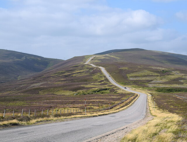
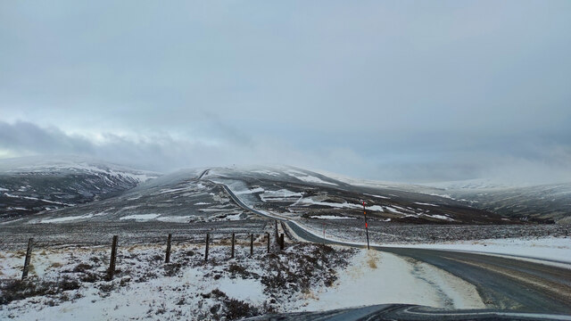
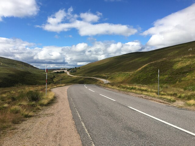
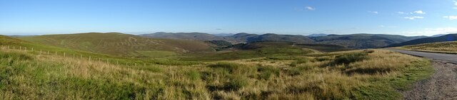
Old Moss Images
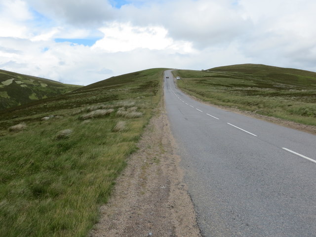
Images are sourced within 2km of 57.178969/-3.2256872 or Grid Reference NJ2510. Thanks to Geograph Open Source API. All images are credited.

Old Moss is located at Grid Ref: NJ2510 (Lat: 57.178969, Lng: -3.2256872)
Unitary Authority: Aberdeenshire
Police Authority: North East
What 3 Words
///abode.enchanted.hurls. Near Ballater, Aberdeenshire
Nearby Locations
Related Wikis
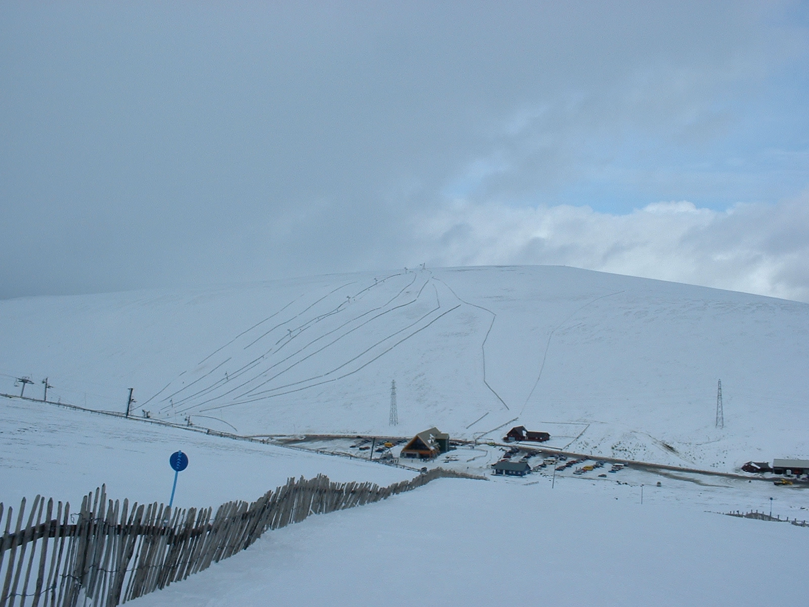
Lecht Ski Centre
The Lecht Ski Centre is an alpine ski area in the Cairngorms in the Scottish Highlands. The ski slopes are set around the mountains Beinn a' Chruinnich...

Cock Bridge (Aberdeenshire)
Cock Bridge is a settlement in Aberdeenshire, Scotland, located in the Cairngorms National Park, on the A939 road near Corgarff and Corgarff Castle, between...

Corgarff Castle
Corgarff Castle is located slightly west of the village of Corgarff, in Aberdeenshire, north-east Scotland. It stands by the Lecht road, which crosses...

Corgarff
Corgarff (Scottish Gaelic: Corr Garaidh) is a hamlet in Aberdeenshire, Scotland, in the Grampian Mountains. The nearby Corgarff Castle was used as a military...
Have you been to Old Moss?
Leave your review of Old Moss below (or comments, questions and feedback).