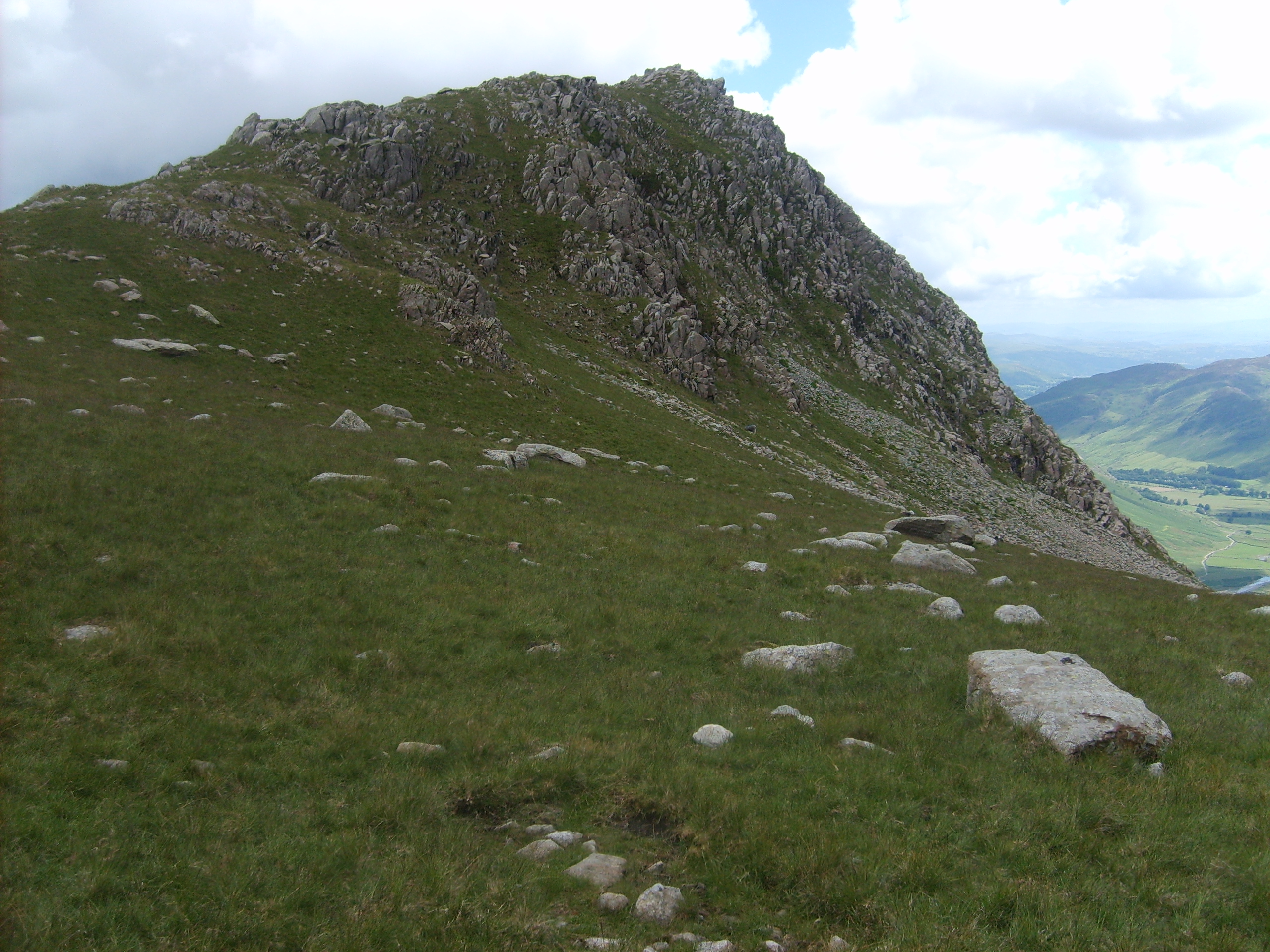
Green Tongue
Downs, Moorland in Westmorland South Lakeland
England
Green Tongue
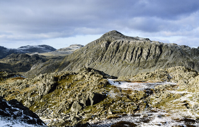
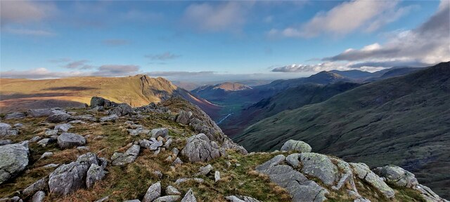
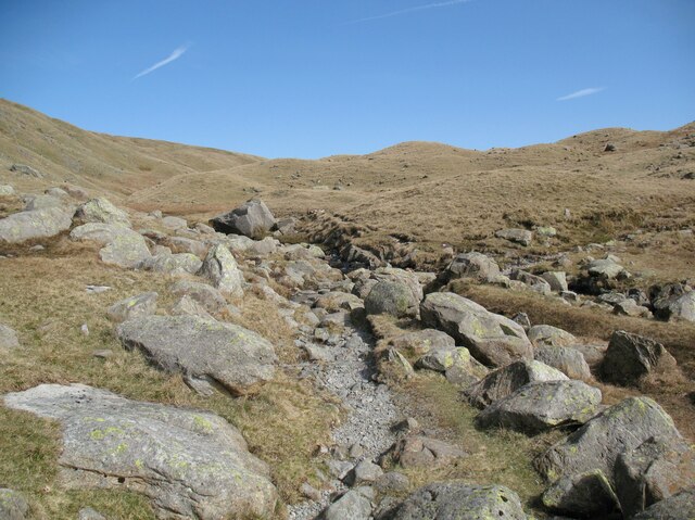
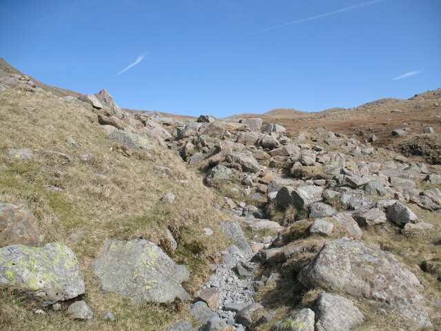
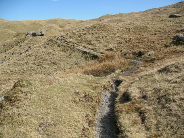
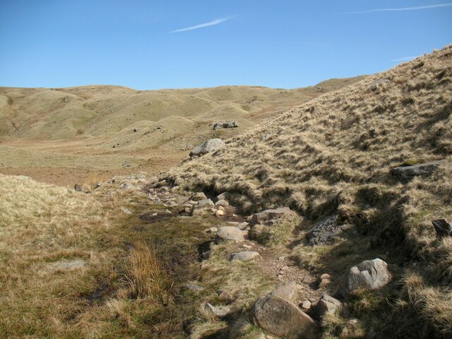
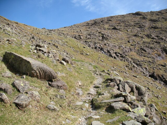
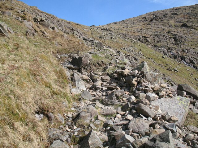
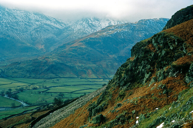
Green Tongue is a picturesque area located in the county of Westmorland, England. Situated amidst the stunning landscape of the Downs and Moorland, it offers visitors a unique and captivating experience.
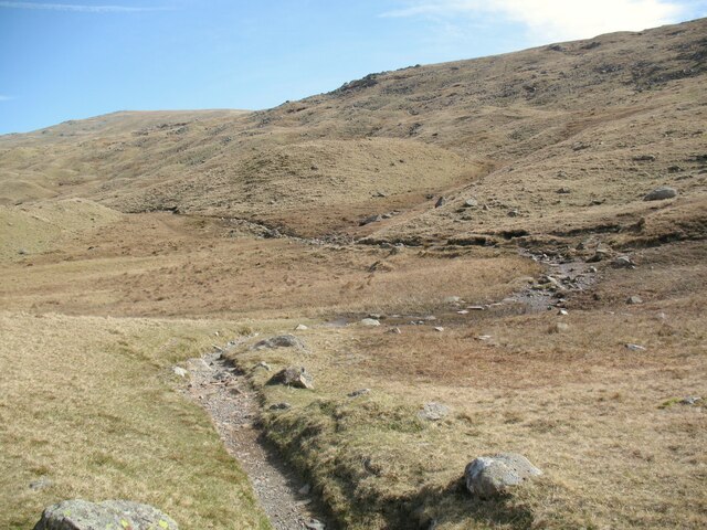
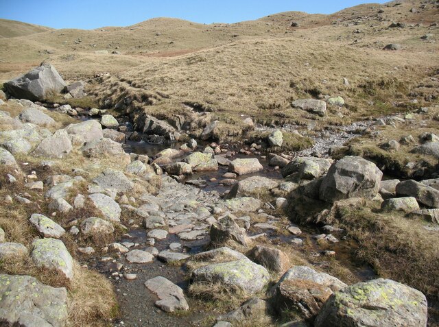
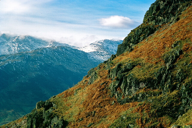
Covering an expansive area, Green Tongue is characterized by its lush green meadows, rolling hills, and serene atmosphere. The land is dotted with charming villages, scattered farms, and ancient woodlands, providing a sense of tranquility and seclusion.
The area is renowned for its diverse flora and fauna, making it a paradise for nature enthusiasts. Visitors can witness a variety of plant species, including colorful wildflowers and rare orchids. The verdant meadows attract a multitude of bird species, making it a popular destination for birdwatching. The tranquil woodlands are home to deer, foxes, and other wildlife, offering opportunities for peaceful walks and wildlife spotting.
Green Tongue is also steeped in history and heritage. It boasts numerous archaeological sites, including ancient burial mounds and stone circles, which provide a glimpse into the area's rich past. The local villages feature charming cottages and historic buildings, showcasing the traditional Westmorland architecture.
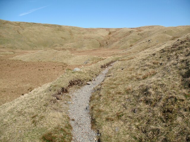
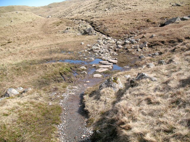
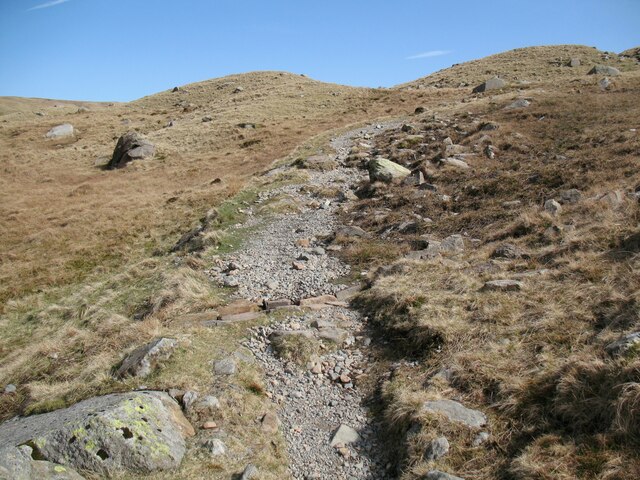
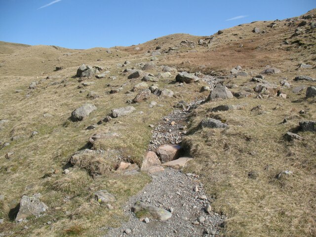
Outdoor activities abound in Green Tongue, with a network of walking and cycling trails traversing the area. Hikers can explore the picturesque hills and valleys, while cyclists can enjoy the scenic routes. Additionally, there are opportunities for horseback riding, fishing, and camping, providing something for everyone.
Overall, Green Tongue offers a breathtaking natural beauty, rich history, and a range of outdoor activities, making it a must-visit destination for nature lovers and those seeking a peaceful retreat in the heart of Westmorland.
If you have any feedback on the listing, please let us know in the comments section below.
Green Tongue Images
Images are sourced within 2km of 54.450885/-3.1483529 or Grid Reference NY2506. Thanks to Geograph Open Source API. All images are credited.


Green Tongue is located at Grid Ref: NY2506 (Lat: 54.450885, Lng: -3.1483529)
Administrative County: Cumbria
District: South Lakeland
Police Authority: Cumbria
What 3 Words
///outgrown.curtail.mere. Near Ambleside, Cumbria
Nearby Locations
Related Wikis
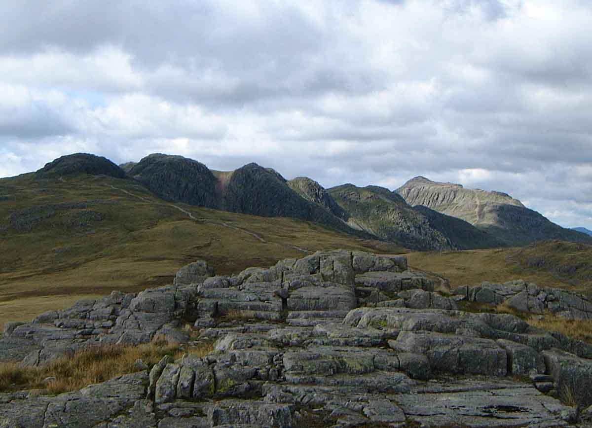
Rossett Pike
Rossett Pike is a fell in the English Lake District. It is located at the head of Mickleden, one of two tributary valleys of Great Langdale. == Topography... ==

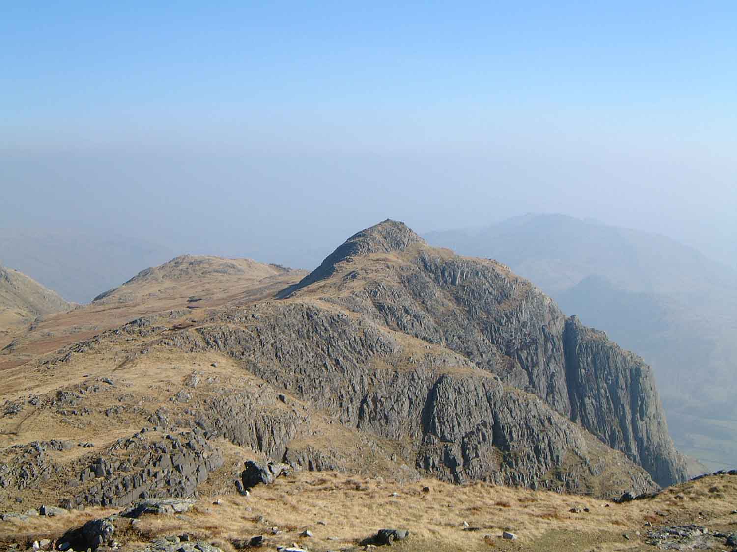
Bowfell
Bowfell (named Bow Fell on Ordnance Survey maps) is a pyramid-shaped mountain lying at the heart of the English Lake District, in the Southern Fells area...

Angle Tarn (Langstrath)
Angle Tarn is a tarn to the north of Bowfell in the English Lake District. It drains into Langstrath Beck. This should not be confused with Angle Tarn...

Pike of Stickle
Pike of Stickle, also known as Pike o’ Stickle, is a fell in the English Lake District. It reaches a height of 709 metres (2,326 ft) and is situated in...
Loft Crag
Loft Crag is a fell in the English Lake District, situated nine kilometres (5+1⁄2 miles) west of Ambleside in the valley of Great Langdale. Along with...
Crinkle Crags
Crinkle Crags is a fell in the English Lake District in the county of Cumbria. It forms part of two major rings of mountains, surrounding the valleys of...

Esk Pike
Esk Pike is a fell in the English Lake District, one of the cirque of hills forming the head of Eskdale. == Topography == The Southern Fells include the...

Scafells
The Scafells, or Scafell Massif, are range of fells in the Cumbrian Mountains of England, made up of the remains of a caldera volcano. Fells in the range...
Related Videos
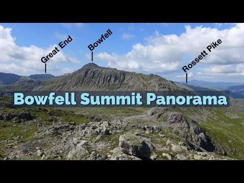
Bowfell - Fully Labelled Summit View Panorama. Lake District Walks & Hiking
A slow 360 degree panorama from the summit of Bowfell in the English Lake District. All main view points labelled.

Hiking Crinkle Crags & Bowfell via climbers traverse : 3D Aerial Fly-Through of the Route
A 3d fly through of the classic hikers route from the old dungeon ghyll hotel, over crinkle crags and bowfell via the climbers ...

Lake District Walks | Crinkle Crags via Pike O' Blisco and Cold Pike (a 3 Wainwright walk)
The Great Langdale valley in England's Lake District is a great starting point for some classic Lakeland walks. Previously, we have ...

We are going to the Lake District || Family holiday vlog
Heya everyone We officially went on holiday today to the Lake District to visit Luke's mum and dad for the Christmas holidays.
Nearby Amenities
Located within 500m of 54.450885,-3.1483529Have you been to Green Tongue?
Leave your review of Green Tongue below (or comments, questions and feedback).