The Hazels

Downs, Moorland in Fife

Scotland

The Hazels

Gateposts to Leslie Cemetery There is a damaged Ordnance Survey benchmark on the left hand post. See <a href="https://www.geograph.org.uk/photo/6976495">NO2401 : Damaged benchmark at Leslie Cemetery</a>.
Gateposts to Leslie Cemetery Credit: Becky Williamson

The Hazels is a picturesque area located in Fife, Scotland. Situated amidst the stunning landscape of the region, it is known for its diverse natural features, including downs, moorland, and woodland. Covering a vast expanse, The Hazels offers visitors a unique opportunity to immerse themselves in the beauty of nature.

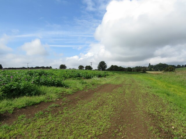
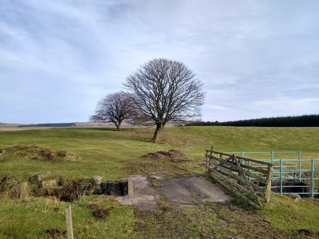
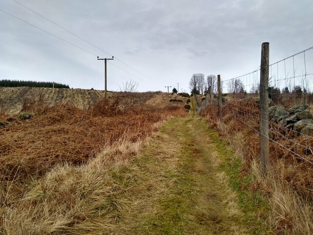
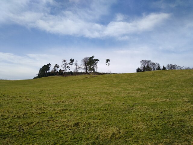
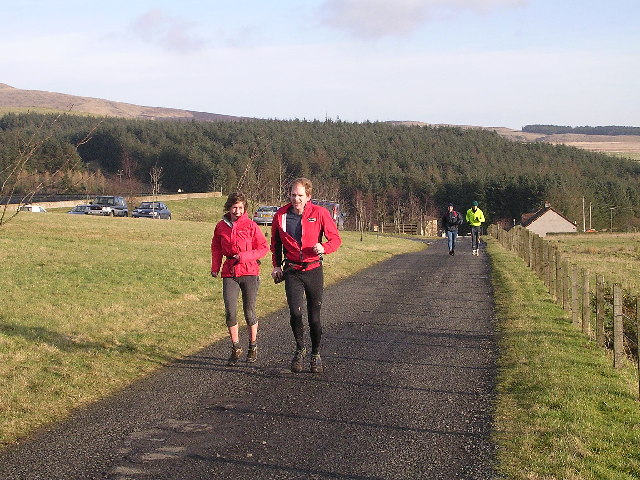
The downs in The Hazels are characterized by their gently rolling slopes and extensive grassy areas. These provide a perfect setting for leisurely walks, picnics, and recreational activities. The open expanses offer unobstructed views of the surrounding countryside and are a haven for nature lovers and outdoor enthusiasts.

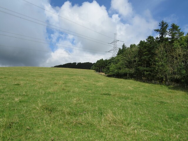
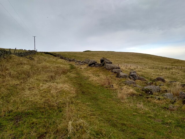
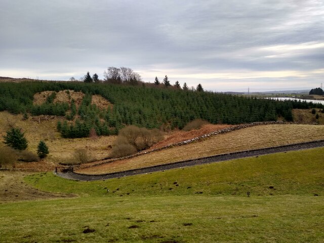
The moorland in The Hazels presents a contrasting landscape, with its rugged terrain and heather-covered hillsides. This area is home to a variety of wildlife, including birds, mammals, and insects. It offers a fantastic opportunity for wildlife spotting and birdwatching, with many species making their homes in the moorland's diverse ecosystem.

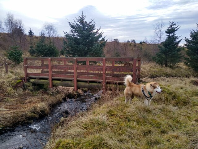
The woodland areas in The Hazels provide a tranquil escape from the outside world, with their dense canopies and meandering paths. These woods are teeming with native flora and fauna, and visitors can enjoy peaceful walks, discover hidden gems, and appreciate the natural beauty that surrounds them.

Overall, The Hazels in Fife is a remarkable destination that showcases the diversity of Scotland's natural landscapes. With its downs, moorland, and woodland areas, it offers a range of activities and experiences for visitors to enjoy while immersing themselves in the beauty of nature.

If you have any feedback on the listing, please let us know in the comments section below.
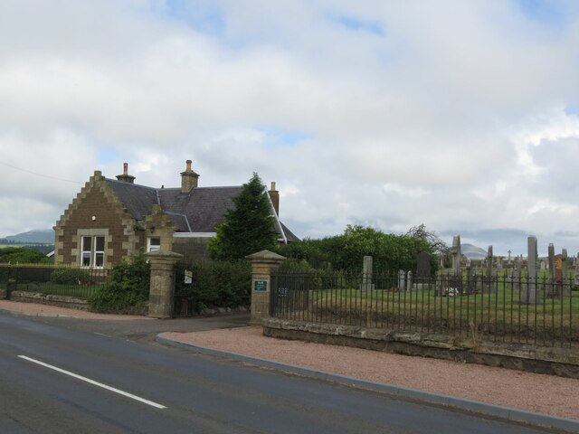
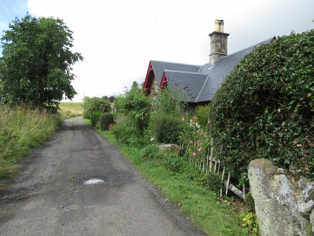
The Hazels Images

Images are sourced within 2km of 56.209866/-3.2483044 or Grid Reference NO2202. Thanks to Geograph Open Source API. All images are credited.

Gateposts to Leslie Cemetery There is a damaged Ordnance Survey benchmark on the left hand post. See <a href="https://www.geograph.org.uk/photo/6976495">NO2401 : Damaged benchmark at Leslie Cemetery</a>.
Gateposts to Leslie Cemetery
There is a damaged Ordnance Survey benchmark on the left hand post. See NO2401 : Damaged benchmark at Leslie Cemetery.
Bridge over River Leven at Auchmuirbridge
A911 at Auchmuir Bridge
#3 Maryfield Crescent, Leslie There is an Ordnance Survey benchmark on the house on the right. See <a href="https://www.geograph.org.uk/photo/6975089">NO2401 : Benchmark on #3 Maryfield Crescent, Leslie</a>.
#3 Maryfield Crescent, Leslie
There is an Ordnance Survey benchmark on the house on the right. See NO2401 : Benchmark on #3 Maryfield Crescent, Leslie.
Fields near North Lodge
Strathenry Doocot 17th Century Fife doocot, now in a ruinous state of repair.
Strathenry Doocot
17th Century Fife doocot, now in a ruinous state of repair.
Knockmorehill Plantation near Newton
Damaged benchmark at Leslie Cemetery Damaged Ordnance Survey benchmark on gatepost at Leslie Cemetery. The benchmark is described on the database at <span class="nowrap"><a title="https://www.bench-marks.org.uk/bm152767" rel="nofollow ugc noopener" href="https://www.bench-marks.org.uk/bm152767">Link</a><img style="margin-left:2px;" alt="External link" title="External link - shift click to open in new window" src="https://s1.geograph.org.uk/img/external.png" width="10" height="10"/></span>. See also <a href="https://www.geograph.org.uk/photo/6934975">NO2401 : Gateposts to Leslie Cemetery</a>.
Damaged benchmark at Leslie Cemetery
Damaged Ordnance Survey benchmark on gatepost at Leslie Cemetery. The benchmark is described on the database at LinkExternal link. See also NO2401 : Gateposts to Leslie Cemetery.
Entrance to Leslie Cemetery
Benchmark, North Lodge, Strathenry Ordnance Survey benchmark, described on database at <span class="nowrap"><a title="https://www.bench-marks.org.uk/bm152817" rel="nofollow ugc noopener" href="https://www.bench-marks.org.uk/bm152817">Link</a><img style="margin-left:2px;" alt="External link" title="External link - shift click to open in new window" src="https://s1.geograph.org.uk/img/external.png" width="10" height="10"/></span>. See also <a href="https://www.geograph.org.uk/photo/6976508">NO2201 : North Lodge, Strathenry</a>.
Benchmark, North Lodge, Strathenry
Ordnance Survey benchmark, described on database at LinkExternal link. See also NO2201 : North Lodge, Strathenry.
North Lodge, Strathenry There is an Ordnance Survey benchmark on this building. See <a href="https://www.geograph.org.uk/photo/6976507">NO2201 : Benchmark, North Lodge, Strathenry</a>.
North Lodge, Strathenry
There is an Ordnance Survey benchmark on this building. See NO2201 : Benchmark, North Lodge, Strathenry.
Trees at Easter Feal All around this place are the traces of buildings.
Trees at Easter Feal
All around this place are the traces of buildings.
Track through 'woodland' Most of the few pictures of this square are taken on this little stretch of path that passes through. But that's not too bad as there is considerable change over the years. Some pictures show large trees on both sides, some only on the left side. And here it is completely barren.
Track through 'woodland'
Most of the few pictures of this square are taken on this little stretch of path that passes through. But that's not too bad as there is considerable change over the years. Some pictures show large trees on both sides, some only on the left side. And here it is completely barren.
Footbridge over Lothrie Burn The burn is coming straight down from Ballo Reservoir. A path leads from the dam of Holl Reservoir to this point, then to Ballo Reservoir and back south to the car park at Holl. The dog just tries to give a sense of scale.
Footbridge over Lothrie Burn
The burn is coming straight down from Ballo Reservoir. A path leads from the dam of Holl Reservoir to this point, then to Ballo Reservoir and back south to the car park at Holl. The dog just tries to give a sense of scale.
Group of trees above Holl Reservoir This is actually the margin of a bit of woodland that stretches into the neighbouring square.
Group of trees above Holl Reservoir
This is actually the margin of a bit of woodland that stretches into the neighbouring square.
Path towards Balgothrie This path is signposted to lead to Craigmead, and links Holl with Ballo Reservoir.
Path towards Balgothrie
This path is signposted to lead to Craigmead, and links Holl with Ballo Reservoir.
View down from the dam This picture was taken while standing on the dam of the little Drumain Reservoir.
View down from the dam
This picture was taken while standing on the dam of the little Drumain Reservoir.
Holl Reservoir Track Access road for Holl Reservoir Works. Also part of the Devil's Burdens hill running relay held last Saturday in January.
Holl Reservoir Track
Access road for Holl Reservoir Works. Also part of the Devil's Burdens hill running relay held last Saturday in January.
Show me another place!

The Hazels is located at Grid Ref: NO2202 (Lat: 56.209866, Lng: -3.2483044)

Unitary Authority: Fife

Police Authority: Fife

What 3 Words

///rigs.interests.clown. Near Leslie, Fife

Related Wikis

Nearby Amenities

Located within 500m of 56.209866,-3.2483044
Power: tower
Lat/Long: 56.2139204/-3.2497306
Power: tower
Lat/Long: 56.2118906/-3.2530006
Power: pole
Lat/Long: 56.2138837/-3.2458024
Power: pole
Lat/Long: 56.2133543/-3.246603
Power: pole
Lat/Long: 56.212808/-3.247436
Power: pole
Lat/Long: 56.2123099/-3.2481825
The data included in this document is from www.openstreetmap.org. The data is made available under ODbL.

Have you been to The Hazels?

Leave your review of The Hazels below (or comments, questions and feedback).