Creca Moss
Downs, Moorland in Dumfriesshire
Scotland
Creca Moss
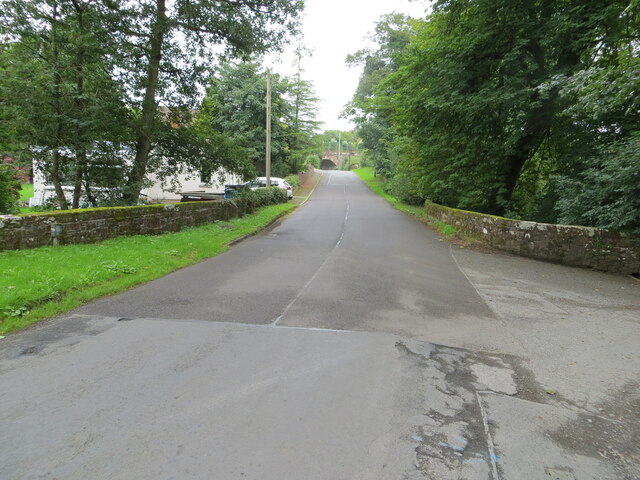
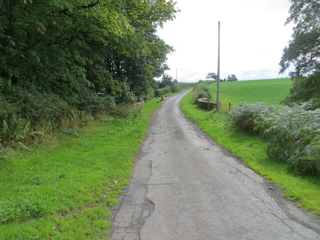
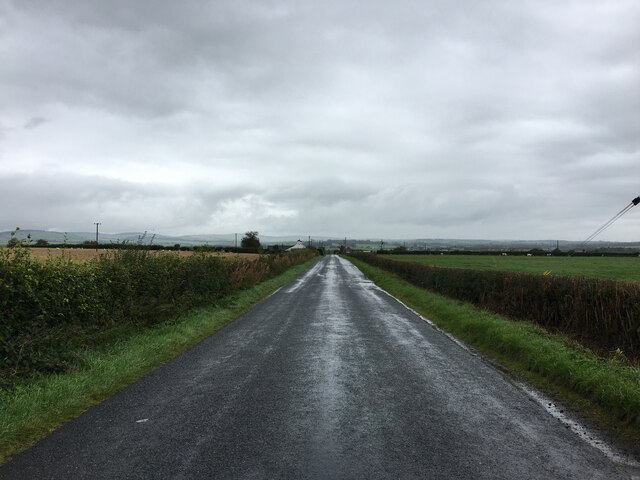
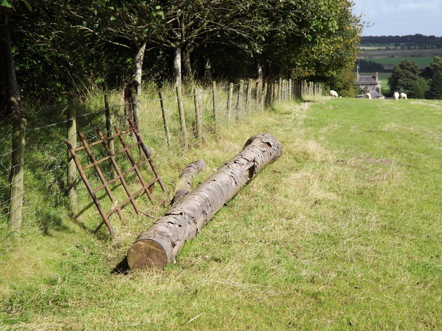
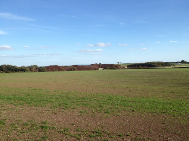
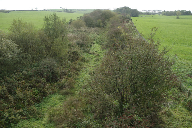
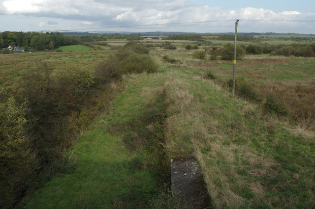
Creca Moss is a vast expanse of scenic moorland located in Dumfriesshire, Scotland. It stretches across an area of approximately 2,000 acres and is characterized by its unique landscape and diverse flora and fauna. The moss is situated in an undulating terrain with numerous small hills and valleys.
The vegetation of Creca Moss is primarily composed of heather, grasses, and mosses, which give the area its distinct appearance. The moorland is also home to a variety of plant species, including sundews, cotton grass, and bog myrtle, which thrive in the damp and acidic soil. This rich ecosystem supports a wide range of wildlife, including birds such as curlews, lapwings, and skylarks, which nest and forage in the area.
The moss has a rich history, with evidence of human activity dating back thousands of years. Archaeological findings include Bronze Age burial cairns and Iron Age hill forts, indicating the long-standing connection between people and the land. Today, Creca Moss is a popular destination for nature enthusiasts, walkers, and birdwatchers who come to appreciate its natural beauty and tranquility.
In addition to its ecological and historical significance, Creca Moss also plays a vital role in carbon sequestration and water regulation. Its peatland acts as a natural carbon sink, helping to mitigate climate change by storing carbon dioxide. The moss also helps regulate water flow by absorbing rainfall and reducing the risk of flooding downstream.
Overall, Creca Moss is a captivating landscape that showcases the beauty and importance of moorland ecosystems in Dumfriesshire.
If you have any feedback on the listing, please let us know in the comments section below.
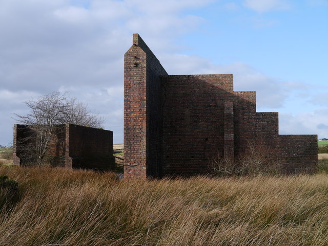
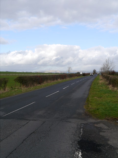
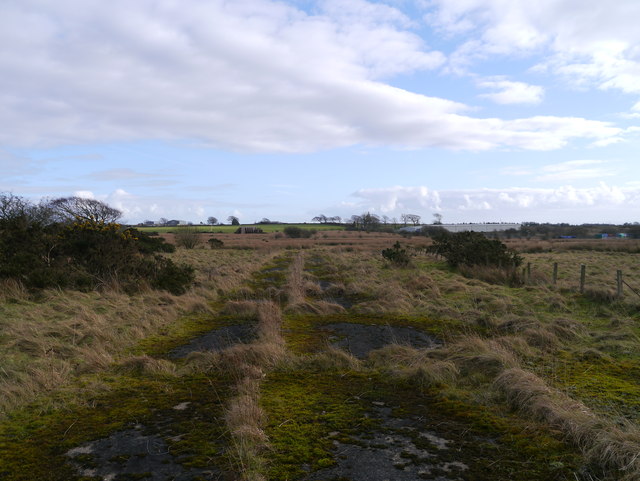
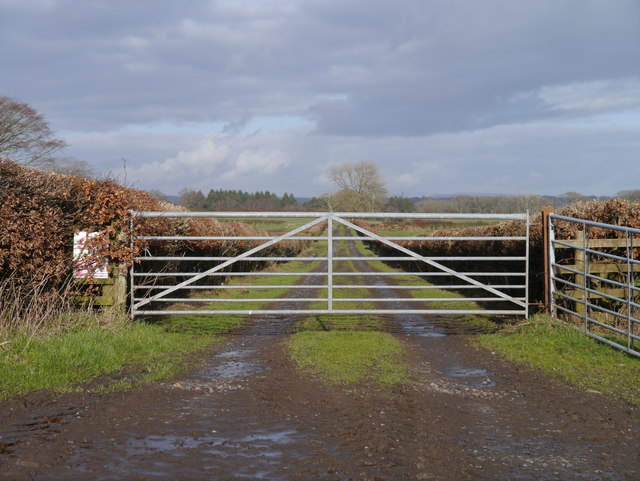
Creca Moss Images
Images are sourced within 2km of 55.029027/-3.211513 or Grid Reference NY2271. Thanks to Geograph Open Source API. All images are credited.

Creca Moss is located at Grid Ref: NY2271 (Lat: 55.029027, Lng: -3.211513)
Unitary Authority: Dumfries and Galloway
Police Authority: Dumfries and Galloway
What 3 Words
///bunny.soggy.cucumber. Near Eastriggs, Dumfries & Galloway
Nearby Locations
Related Wikis
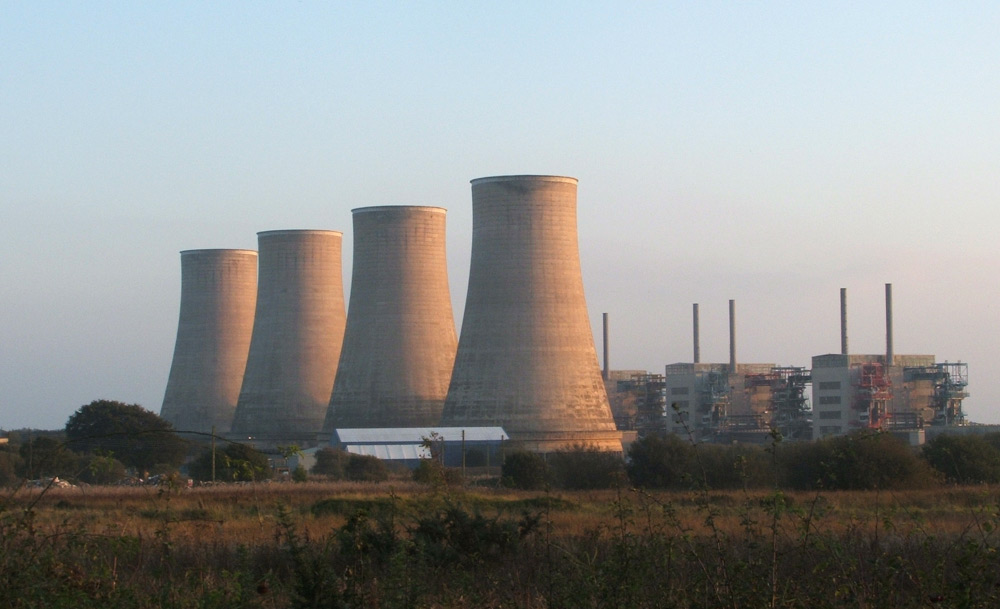
Chapelcross nuclear power station
Chapelcross nuclear power station is a former Magnox nuclear power station undergoing decommissioning. It is located in Annan in Dumfries and Galloway...
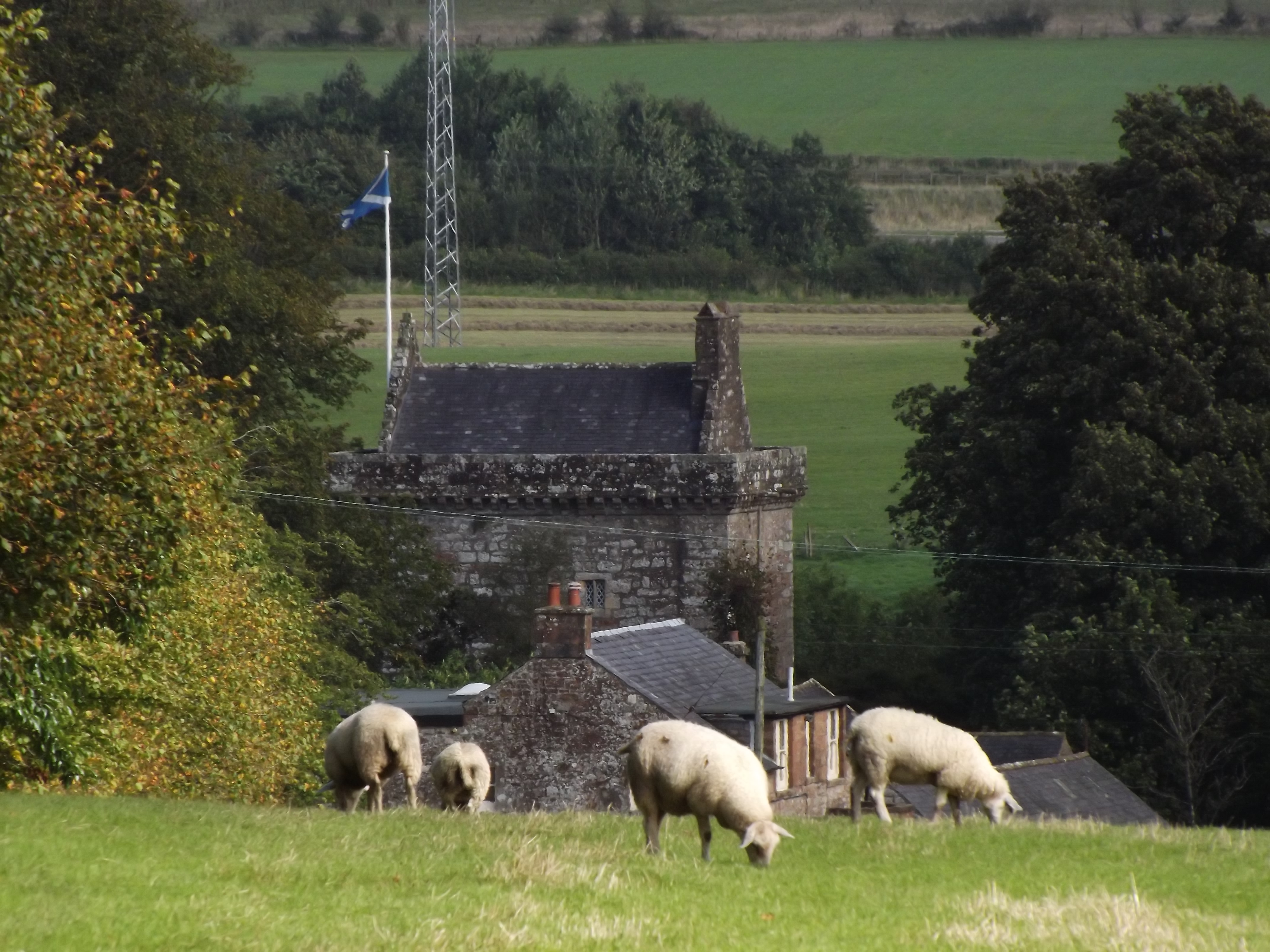
Bonshaw Tower
Bonshaw Tower is an oblong tower house, probably dating from the mid-16th century, one mile south of Kirtlebridge, Dumfries and Galloway, Scotland, above...

Kirtlebridge
Kirtlebridge is a village in Dumfries and Galloway, southern Scotland. It is located 8 kilometres (5.0 mi) north-east of Annan, 5 kilometres (3.1 mi) north...
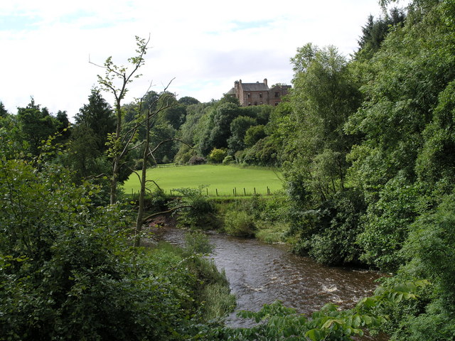
Robgill Tower
Robgill Tower is a tower house near Kirkpatrick Fleming on the banks of the river Kirtle. It was one of a number of towers built along the border as protection...

Kirtlebridge rail crash
The Kirtlebridge rail crash took place in 1872 at Kirtlebridge railway station in Dumfriesshire. An express passenger train ran into a goods train that...

Kirtlebridge railway station
Kirtlebridge railway station was a station which served the rural area around Kirtlebridge and Eaglesfield, north of Annan in Dumfriesshire, Scotland;...

Eaglesfield, Dumfries and Galloway
Eaglesfield is a village in south east Dumfriesshire in the local authority area of Dumfries and Galloway, Scotland. == History == Eaglesfield is of ancient...
Broadlea henge
Broadlea henge (grid reference NY 21946 74651) is a Neolithic or Bronze Age monument in the parish of Middlebie, Dumfries and Galloway. It is one of very...
Have you been to Creca Moss?
Leave your review of Creca Moss below (or comments, questions and feedback).