Wreaks Moss

Downs, Moorland in Lancashire South Lakeland

England

Wreaks Moss

A595 at Ellermire Bridge
A595 at Ellermire Bridge Credit: Colin Pyle

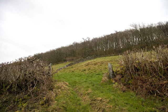
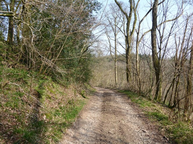
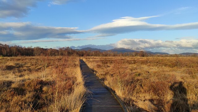
Wreaks Moss is a vast expanse of moorland located in Lancashire, England. It is situated in the western part of the county, surrounded by the stunning landscape of the West Pennine Moors. This area is known for its diverse range of natural habitats, including heather-covered hills, peat bogs, and traditional farmland.

Covering an area of approximately 3 square miles, Wreaks Moss offers a peaceful and serene environment for nature enthusiasts and hikers looking to explore its beauty. The moorland is crisscrossed by a network of well-maintained footpaths, allowing visitors to traverse the area with ease while taking in the breathtaking views.

The vegetation in Wreaks Moss is predominantly heather, which blooms with vibrant purple hues during the summer months, creating a picturesque landscape. The moorland is also home to a variety of wildlife, including buzzards, curlews, and skylarks, making it a haven for birdwatchers.

In addition to its natural beauty, Wreaks Moss has historical significance. The area was once part of extensive grouse moors, which were managed for game shooting. Evidence of this past can still be seen in the form of old stone grouse butts scattered throughout the landscape.

Overall, Wreaks Moss offers a unique opportunity to experience the tranquility and majesty of the Lancashire moorlands. Whether it's exploring the diverse flora and fauna, enjoying a peaceful walk, or simply immersing oneself in the stunning scenery, this area has something to offer for everyone seeking a connection with nature.

If you have any feedback on the listing, please let us know in the comments section below.
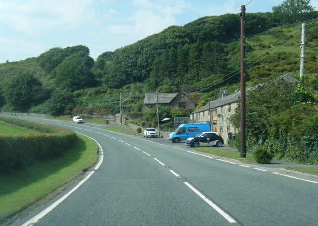
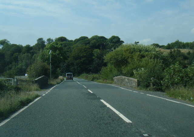
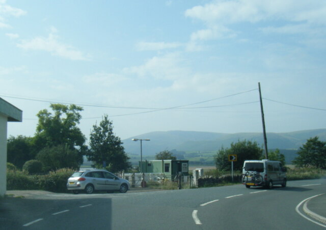
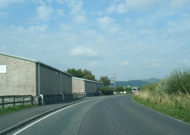
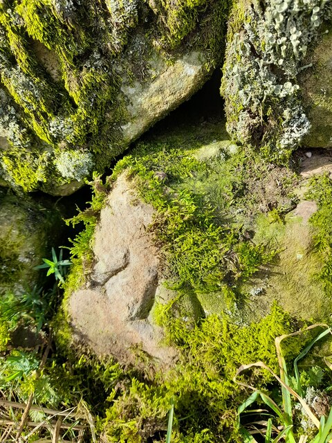
Wreaks Moss Images

Images are sourced within 2km of 54.264467/-3.1886876 or Grid Reference SD2286. Thanks to Geograph Open Source API. All images are credited.
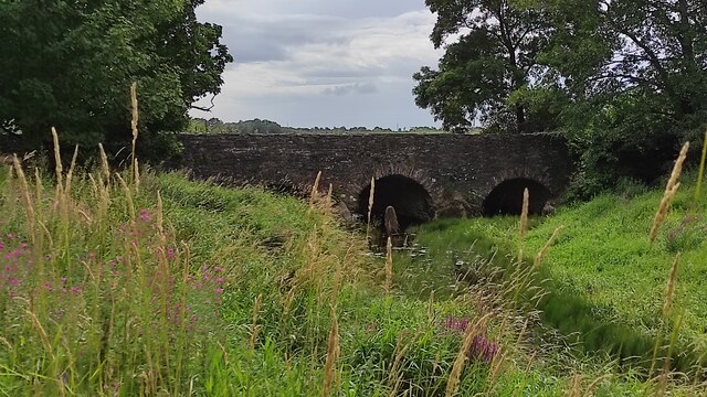
A595 at Ellermire Bridge
A595 at Galloper Pool Bridge
A595 near Skellow Crag End
A595 north of Foxfield
Wreaks Causeway End Bridge over Kirkby Pool Wreaks Causeway End Bridge carrying the A595.
Listed Building entry number 1138084. Grade II.
Listing includes carvings on the coping stones of the parapets.
<span class="nowrap"><a title="https://historicengland.org.uk/listing/the-list/list-entry/1138084?section=official-listing" rel="nofollow ugc noopener" href="https://historicengland.org.uk/listing/the-list/list-entry/1138084?section=official-listing">Link</a><img style="margin-left:2px;" alt="External link" title="External link - shift click to open in new window" src="https://s1.geograph.org.uk/img/external.png" width="10" height="10"/></span>
Wreaks Causeway End Bridge over Kirkby Pool
Wreaks Causeway End Bridge carrying the A595. Listed Building entry number 1138084. Grade II. Listing includes carvings on the coping stones of the parapets. LinkExternal link
Carved words on Wreaks Causeway End Bridge Wreaks Causeway End Bridge carrying the A595.
Listed Building entry number 1138084. Grade II.
Listing includes carvings on the coping stones of the parapets.
<span class="nowrap"><a title="https://historicengland.org.uk/listing/the-list/list-entry/1138084?section=official-listing" rel="nofollow ugc noopener" href="https://historicengland.org.uk/listing/the-list/list-entry/1138084?section=official-listing">Link</a><img style="margin-left:2px;" alt="External link" title="External link - shift click to open in new window" src="https://s1.geograph.org.uk/img/external.png" width="10" height="10"/></span>

"Do not stop long at the fair". One of many carvings on the parapets. Many of the stones have been damaged, presumably during bridge widening. Other carvings include "Yellow for ever", "Be kind to the poor", "A sensible man wont offend me and no other can", "Forget me not", "Happy land", "England for ever", "I can paddle my own canoe", "Tomorrow may be silent", "Thomas Dawson post messenger arrives [6 10 a m]".
Carved words on Wreaks Causeway End Bridge
Wreaks Causeway End Bridge carrying the A595. Listed Building entry number 1138084. Grade II. Listing includes carvings on the coping stones of the parapets. LinkExternal link "Do not stop long at the fair". One of many carvings on the parapets. Many of the stones have been damaged, presumably during bridge widening. Other carvings include "Yellow for ever", "Be kind to the poor", "A sensible man wont offend me and no other can", "Forget me not", "Happy land", "England for ever", "I can paddle my own canoe", "Tomorrow may be silent", "Thomas Dawson post messenger arrives [6 10 a m]".
Ordnance Survey Cut Mark This OS cut mark can be found on the north parapet of Galloper Pool Bridge. It marks a point 6.352m above mean sea level.
Ordnance Survey Cut Mark
This OS cut mark can be found on the north parapet of Galloper Pool Bridge. It marks a point 6.352m above mean sea level.
Ordnance Survey Flush Bracket (G2834) This OS Flush Bracket can be found on the north buttress of Wreaks Causeway Bridge. It marks a point 6.471m above mean sea level.
Ordnance Survey Flush Bracket (G2834)
This OS Flush Bracket can be found on the north buttress of Wreaks Causeway Bridge. It marks a point 6.471m above mean sea level.
Ordnance Survey Rivet This OS rivet can be found on the wall east side of the road. It marks a point 9.422m above mean sea level.
Ordnance Survey Rivet
This OS rivet can be found on the wall east side of the road. It marks a point 9.422m above mean sea level.
Ordnance Survey Rivet This OS rivet can be found on the wall east side of Woodlands Road. It marks a point 79.376m above mean sea level.
Ordnance Survey Rivet
This OS rivet can be found on the wall east side of Woodlands Road. It marks a point 79.376m above mean sea level.
Ordnance Survey Rivet This OS rivet can be found on the wall west side of Woodlands Road. It marks a point 93.637m above mean sea level.
Ordnance Survey Rivet
This OS rivet can be found on the wall west side of Woodlands Road. It marks a point 93.637m above mean sea level.
Ordnance Survey Flush Bracket (S7106) This OS Flush Bracket can be found on old school building which is now a private property. It marks a point 14.673m above mean sea level.
Ordnance Survey Flush Bracket (S7106)
This OS Flush Bracket can be found on old school building which is now a private property. It marks a point 14.673m above mean sea level.
Ordnance Survey Cut Mark This OS cut mark can be found on the NE parapet of Ellermire Bridge. It marks a point 11.408m above mean sea level.
Ordnance Survey Cut Mark
This OS cut mark can be found on the NE parapet of Ellermire Bridge. It marks a point 11.408m above mean sea level.
Ordnance Survey Cut Mark This OS cut mark can be found on the house which was once the Mission Church. It marks a point 12.722m above mean sea level.
Ordnance Survey Cut Mark
This OS cut mark can be found on the house which was once the Mission Church. It marks a point 12.722m above mean sea level.
Ordnance Survey Cut Mark This OS cut mark can be found on the gatepost east side of Woodlands Road. It marks a point 34.203m above mean sea level.
Ordnance Survey Cut Mark
This OS cut mark can be found on the gatepost east side of Woodlands Road. It marks a point 34.203m above mean sea level.
Gateway to field Gateway to field near Black Springs Wood
Gateway to field
Gateway to field near Black Springs Wood
Farm track near Wall End This farm track is also a public bridleway.
Farm track near Wall End
This farm track is also a public bridleway.
path at Duddon Mosses National Nature Reserve On Bank End Moss. Caw and the Coniston range on the skyline, with a snow-capped "Old Man".
path at Duddon Mosses National Nature Reserve
On Bank End Moss. Caw and the Coniston range on the skyline, with a snow-capped "Old Man".
Show me another place!

Wreaks Moss is located at Grid Ref: SD2286 (Lat: 54.264467, Lng: -3.1886876)

Administrative County: Cumbria

District: South Lakeland

Police Authority: Cumbria

What 3 Words

///multiples.finishing.electrode. Near Millom, Cumbria

Related Wikis

Eccle Riggs

Eccle Riggs is a country house located on Eccle Riggs, a ridge of land about 0.75 miles (1.2 km) to the south of Broughton-in-Furness, Cumbria, England...

Foxfield, Cumbria

Foxfield is a village on the west coast of Cumbria, England, in the Furness district that was part of Lancashire from 1182 to 1974. It lies on the Duddon...

Foxfield railway station

Foxfield is a railway station on the Cumbrian Coast Line, which runs between Carlisle and Barrow-in-Furness. The station, situated 11+1⁄2 miles (19 km...

Broughton-in-Furness railway station

Broughton-in-Furness railway station served the market town of Broughton-in-Furness, in Lancashire, England (now in Cumbria). It was on the branch line...

St Mary Magdalene's Church, Broughton-in-Furness

St Mary Magdalene's Church is in Broughton-in-Furness, Cumbria, England. It is an active Anglican parish church in the deanery of Furness, the archdeaconry...

Broughton-in-Furness

Broughton in Furness is a market town in the civil parish of Broughton West in the Westmorland and Furness district of Cumbria, England. It had a population...

Beanthwaite

Beanthwaite is a hamlet in Cumbria, England.

Angerton, South Lakeland

Angerton is a civil parish in the Westmorland and Furness district of the ceremonial county of Cumbria, England, historically part of the Furness portion...

Nearby Amenities

Located within 500m of 54.264467,-3.1886876
Power: pole
Lat/Long: 54.262404/-3.183835
Power: pole
Lat/Long: 54.2630032/-3.1849441
Power: pole
Lat/Long: 54.2635811/-3.1860338
Power: pole
Lat/Long: 54.2641829/-3.1871418
Power: pole
Lat/Long: 54.2648393/-3.1883751
Power: pole
Lat/Long: 54.2654718/-3.1895469
Power: pole
Lat/Long: 54.2661308/-3.1907848
Power: pole
Lat/Long: 54.2663958/-3.1924058
Power: pole
Lat/Long: 54.2666967/-3.1943139
Power: pole
Lat/Long: 54.2670852/-3.1897864
Power: pole
Lat/Long: 54.2680194/-3.1888409
The data included in this document is from www.openstreetmap.org. The data is made available under ODbL.

Have you been to Wreaks Moss?

Leave your review of Wreaks Moss below (or comments, questions and feedback).