Cocklethan Plantation

Wood, Forest in Fife

Scotland

Cocklethan Plantation

Bridge over River Leven at Auchmuirbridge
Bridge over River Leven at Auchmuirbridge Credit: Becky Williamson

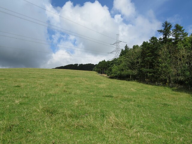
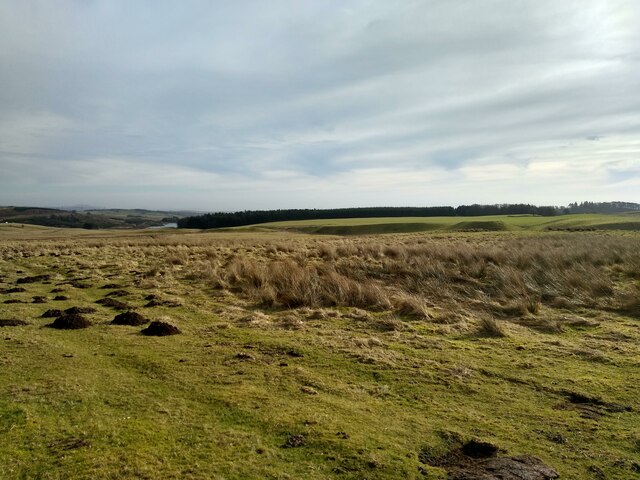
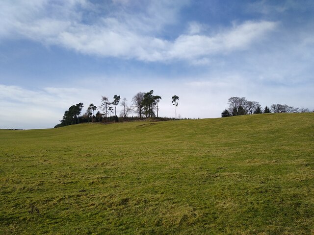
Cocklethan Plantation is a picturesque woodland area located in Fife, Scotland. This enchanting forest covers an extensive area of approximately 250 acres and is a haven for nature lovers, hikers, and wildlife enthusiasts.

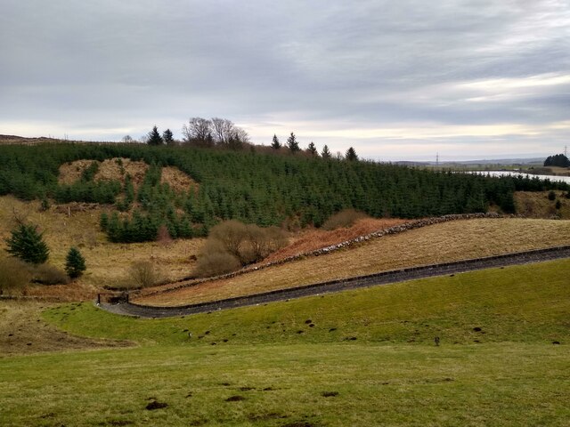
The plantation is a mix of native and exotic tree species, with a dominant presence of Scots pine, oak, and birch trees. The diverse vegetation creates a stunning visual display throughout the year, with vibrant foliage in the autumn and lush greenery in the spring and summer.

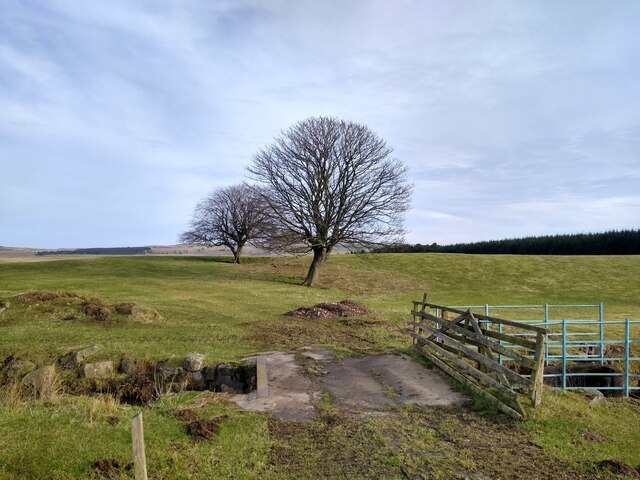
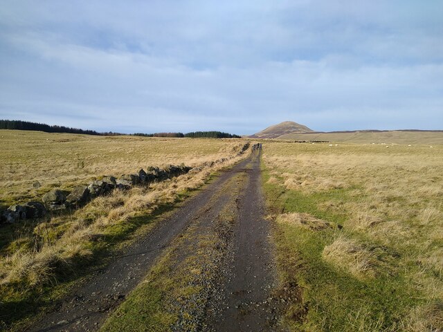
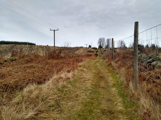
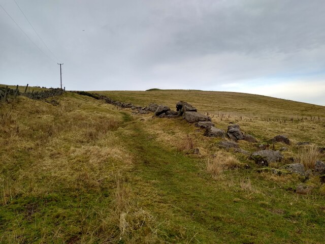
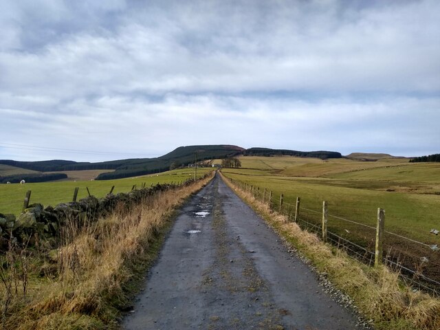
The woodland offers a variety of walking trails that wind their way through the plantation, providing visitors with opportunities to explore the natural beauty of the area. These trails cater to all levels of fitness, from leisurely strolls to more challenging hikes, ensuring there is something for everyone.

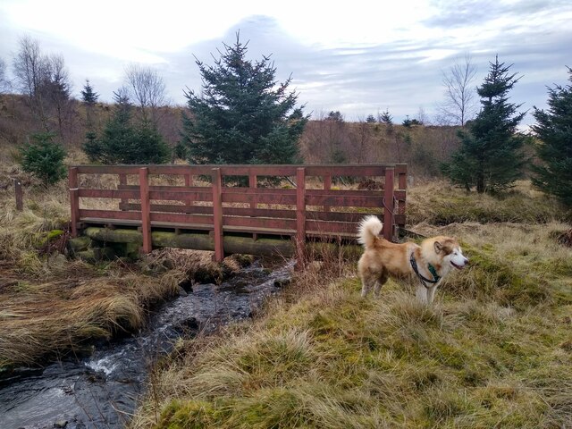
Wildlife thrives within Cocklethan Plantation, making it a popular spot for birdwatching and animal spotting. Visitors may have the chance to catch a glimpse of red squirrels, roe deer, and a wide array of bird species, including woodpeckers, buzzards, and owls.

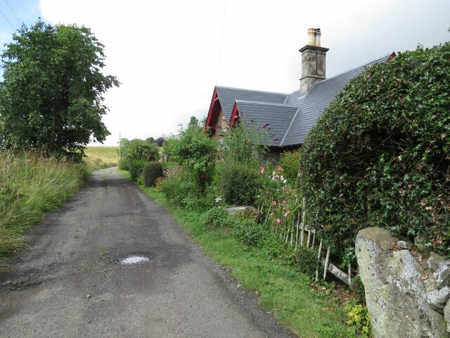
The tranquil atmosphere of Cocklethan Plantation makes it an ideal destination for those seeking a peaceful retreat. Whether it's enjoying a picnic amidst the trees, capturing stunning photographs, or simply immersing oneself in nature, this woodland oasis offers a respite from the hustle and bustle of everyday life.

If you have any feedback on the listing, please let us know in the comments section below.

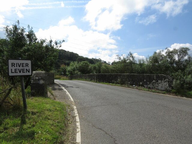
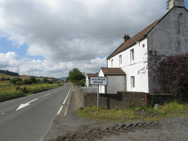
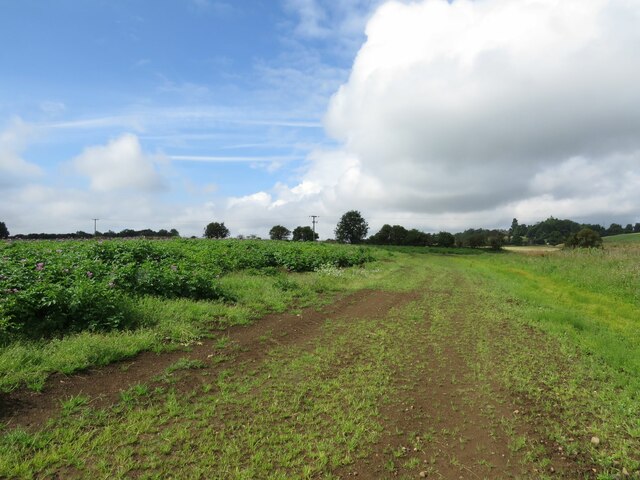
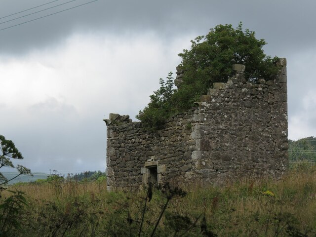
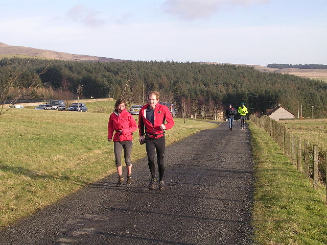
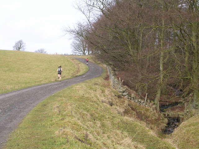
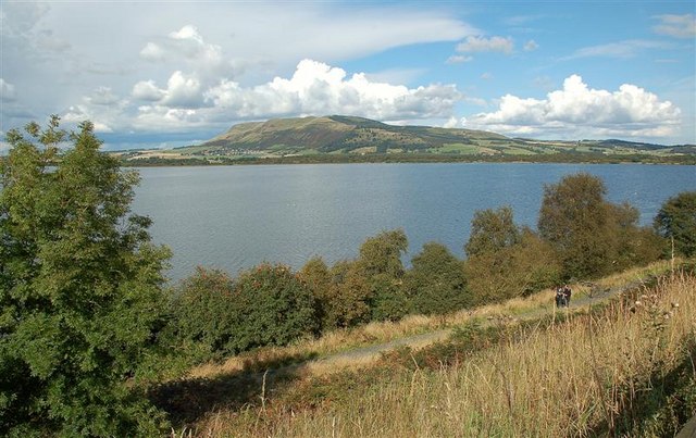
Cocklethan Plantation Images

Images are sourced within 2km of 56.212132/-3.2552143 or Grid Reference NO2202. Thanks to Geograph Open Source API. All images are credited.

Bridge over River Leven at Auchmuirbridge
A911 at Auchmuir Bridge
Fields near North Lodge
Strathenry Doocot 17th Century Fife doocot, now in a ruinous state of repair.
Strathenry Doocot
17th Century Fife doocot, now in a ruinous state of repair.
Knockmorehill Plantation near Newton
Benchmark, North Lodge, Strathenry Ordnance Survey benchmark, described on database at <span class="nowrap"><a title="https://www.bench-marks.org.uk/bm152817" rel="nofollow ugc noopener" href="https://www.bench-marks.org.uk/bm152817">Link</a><img style="margin-left:2px;" alt="External link" title="External link - shift click to open in new window" src="https://s1.geograph.org.uk/img/external.png" width="10" height="10"/></span>. See also <a href="https://www.geograph.org.uk/photo/6976508">NO2201 : North Lodge, Strathenry</a>.
Benchmark, North Lodge, Strathenry
Ordnance Survey benchmark, described on database at LinkExternal link. See also NO2201 : North Lodge, Strathenry.
North Lodge, Strathenry There is an Ordnance Survey benchmark on this building. See <a href="https://www.geograph.org.uk/photo/6976507">NO2201 : Benchmark, North Lodge, Strathenry</a>.
North Lodge, Strathenry
There is an Ordnance Survey benchmark on this building. See NO2201 : Benchmark, North Lodge, Strathenry.
Trees at Easter Feal All around this place are the traces of buildings.
Trees at Easter Feal
All around this place are the traces of buildings.
Grassland at West Feal Most of this square is grassland for sheep, and this is the north eastern corner of it. Holl Reservoir in the background.
Grassland at West Feal
Most of this square is grassland for sheep, and this is the north eastern corner of it. Holl Reservoir in the background.
Airy plateau Walking on the south side of the Lomond Hills, around the various reservoirs, I get a sense of being in a much larger landscape, with vast plateaus and long stretches of straight paths.
Airy plateau
Walking on the south side of the Lomond Hills, around the various reservoirs, I get a sense of being in a much larger landscape, with vast plateaus and long stretches of straight paths.
Track through 'woodland' Most of the few pictures of this square are taken on this little stretch of path that passes through. But that's not too bad as there is considerable change over the years. Some pictures show large trees on both sides, some only on the left side. And here it is completely barren.
Track through 'woodland'
Most of the few pictures of this square are taken on this little stretch of path that passes through. But that's not too bad as there is considerable change over the years. Some pictures show large trees on both sides, some only on the left side. And here it is completely barren.
Footbridge over Lothrie Burn The burn is coming straight down from Ballo Reservoir. A path leads from the dam of Holl Reservoir to this point, then to Ballo Reservoir and back south to the car park at Holl. The dog just tries to give a sense of scale.
Footbridge over Lothrie Burn
The burn is coming straight down from Ballo Reservoir. A path leads from the dam of Holl Reservoir to this point, then to Ballo Reservoir and back south to the car park at Holl. The dog just tries to give a sense of scale.
Group of trees above Holl Reservoir This is actually the margin of a bit of woodland that stretches into the neighbouring square.
Group of trees above Holl Reservoir
This is actually the margin of a bit of woodland that stretches into the neighbouring square.
Path towards Balgothrie This path is signposted to lead to Craigmead, and links Holl with Ballo Reservoir.
Path towards Balgothrie
This path is signposted to lead to Craigmead, and links Holl with Ballo Reservoir.
View down from the dam This picture was taken while standing on the dam of the little Drumain Reservoir.
View down from the dam
This picture was taken while standing on the dam of the little Drumain Reservoir.
View towards West Feal Behind is the outline of Bishop Hill.
View towards West Feal
Behind is the outline of Bishop Hill.
Holl Reservoir Track Access road for Holl Reservoir Works. Also part of the Devil's Burdens hill running relay held last Saturday in January.
Holl Reservoir Track
Access road for Holl Reservoir Works. Also part of the Devil's Burdens hill running relay held last Saturday in January.
Track alongside Holl Burn Photo taken during Devil's Burdens Hill Race
Track alongside Holl Burn
Photo taken during Devil's Burdens Hill Race
Show me another place!

Cocklethan Plantation is located at Grid Ref: NO2202 (Lat: 56.212132, Lng: -3.2552143)

Unitary Authority: Fife

Police Authority: Fife

What 3 Words

///embodied.readings.simulations. Near Leslie, Fife

Related Wikis

Nearby Amenities

Located within 500m of 56.212132,-3.2552143
Power: tower
Lat/Long: 56.2095744/-3.2567318
Power: tower
Lat/Long: 56.2139204/-3.2497306
Power: tower
Lat/Long: 56.2118906/-3.2530006
Wester Balgothrie
Place: isolated_dwelling
Lat/Long: 56.2154464/-3.2508409
Power: pole
Lat/Long: 56.212808/-3.247436
Power: pole
Lat/Long: 56.2123099/-3.2481825
Material: wood
Power: pole
Lat/Long: 56.2152613/-3.2496603
Material: wood
Power: pole
Lat/Long: 56.2153504/-3.2507529
Material: wood
Power: pole
Lat/Long: 56.2153401/-3.2501949
Power: pole
Lat/Long: 56.2096753/-3.2582068
Power: pole
Lat/Long: 56.2091843/-3.2576182
Power: pole
Lat/Long: 56.2086921/-3.2570384
Power: pole
Lat/Long: 56.2081843/-3.2564434
Power: pole
Lat/Long: 56.2076933/-3.2558678
The data included in this document is from www.openstreetmap.org. The data is made available under ODbL.

Have you been to Cocklethan Plantation?

Leave your review of Cocklethan Plantation below (or comments, questions and feedback).