Middle Park

Downs, Moorland in Cumberland Copeland

England

Middle Park

Entrance to Duddon Hall
Entrance to Duddon Hall Credit: P Gaskell

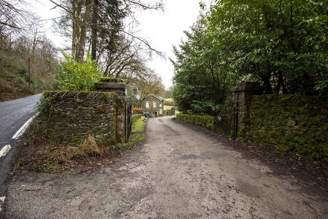
Middle Park is a picturesque village located in the region of Cumberland, England. Situated in the scenic Downs and Moorland area, this charming village offers a tranquil and idyllic setting for both residents and visitors alike.

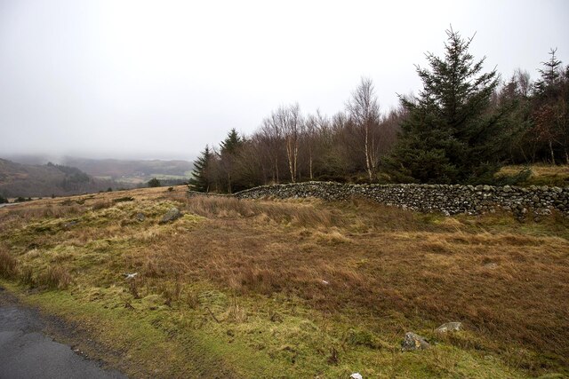
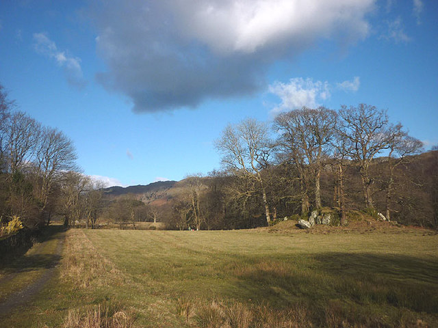
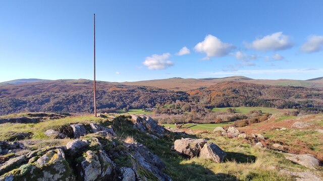
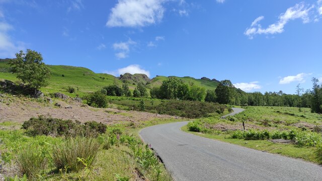
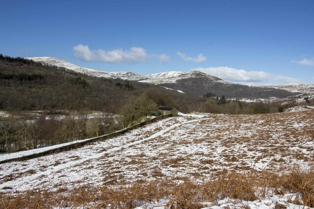
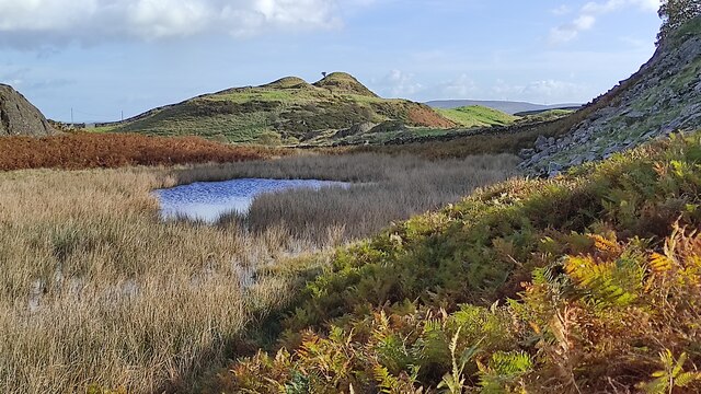
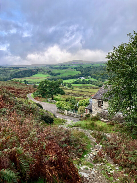
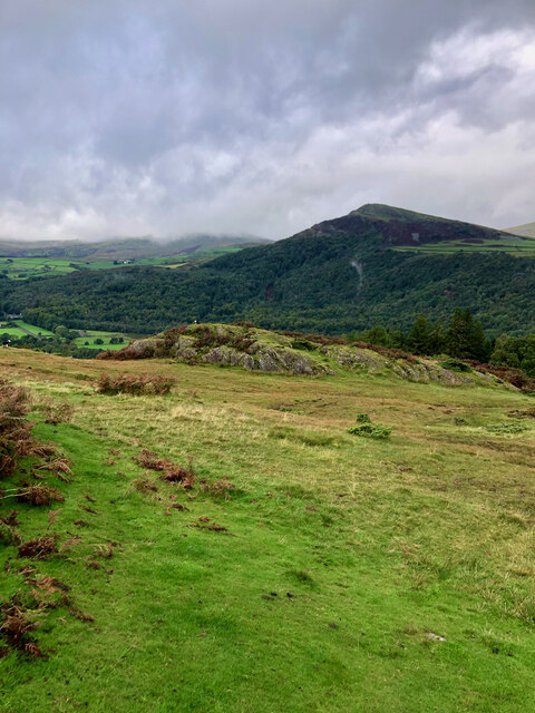
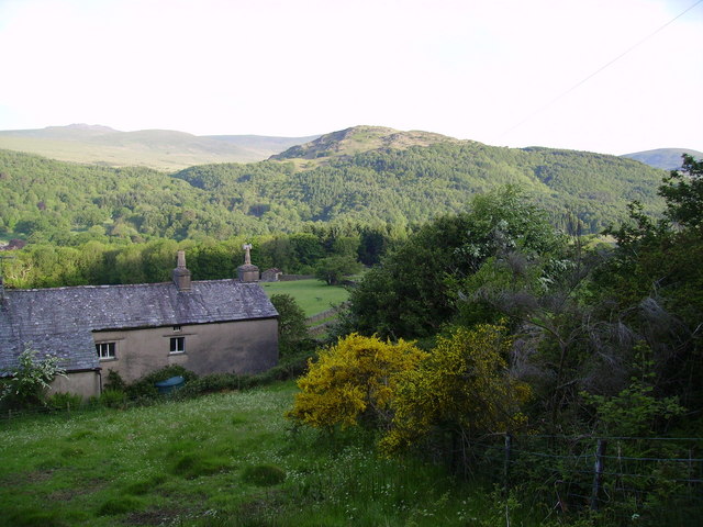
The village is renowned for its stunning natural beauty, with vast stretches of rolling hills, lush green meadows, and enchanting woodlands surrounding its periphery. The Downs and Moorland landscape provides ample opportunities for outdoor enthusiasts to engage in activities such as hiking, cycling, and horseback riding, allowing them to fully immerse themselves in the breathtaking surroundings.

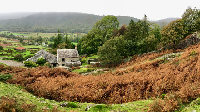
Middle Park is home to a close-knit community that prides itself on its rich history and heritage. The village features a number of well-preserved historic buildings, including a 15th-century parish church and several traditional cottages, which add to the village's unique character.

The village also boasts a range of amenities that cater to the needs of its residents. These include a local convenience store, a cozy pub serving traditional English fare, and a primary school that offers a high standard of education to the younger population.

For those seeking a peaceful and serene lifestyle away from the hustle and bustle of city living, Middle Park, Cumberland (Downs, Moorland) presents a perfect choice. With its breathtaking natural beauty, strong sense of community, and range of amenities, this village offers a truly enchanting place to call home.

If you have any feedback on the listing, please let us know in the comments section below.
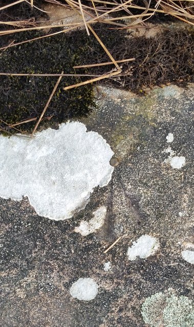
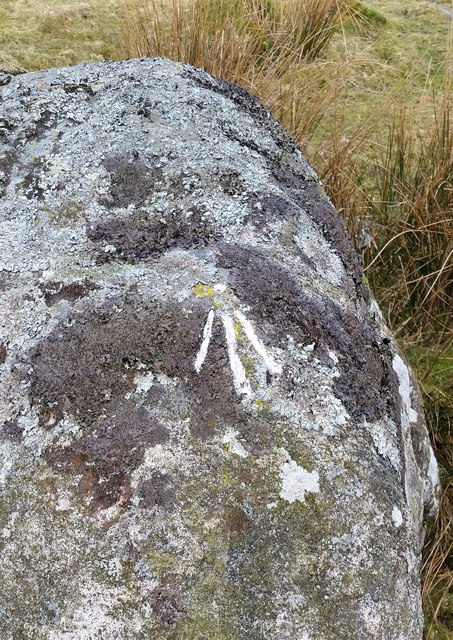
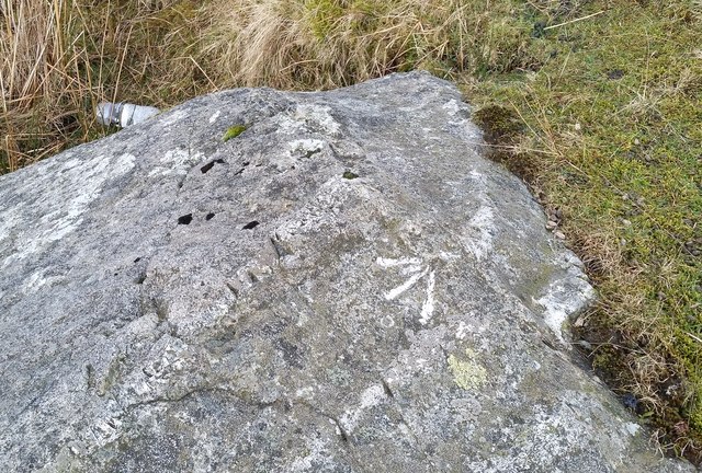
Middle Park Images

Images are sourced within 2km of 54.310739/-3.2384397 or Grid Reference SD1991. Thanks to Geograph Open Source API. All images are credited.

Entrance to Duddon Hall
Smallthwaite Plantation
Sawmill at Beckfoot On The edge of the hamlet of Beckfoot on the delightful Ulpha Park path.
Sawmill at Beckfoot
On The edge of the hamlet of Beckfoot on the delightful Ulpha Park path.
Pasture by the Duddon The track from Beckfoot skirts this on the west with the Duddon flowing to Rawfold Bridge on the right.
Pasture by the Duddon
The track from Beckfoot skirts this on the west with the Duddon flowing to Rawfold Bridge on the right.
Ordnance Survey Rivet This OS rivet can be found on a boulder NE side of the road. It marks a point 128.778m above mean sea level.
Ordnance Survey Rivet
This OS rivet can be found on a boulder NE side of the road. It marks a point 128.778m above mean sea level.
Ordnance Survey Pivot This OS pivot can be found on a boulder north side of the road. It marks a point 151.068m above mean sea level.
Ordnance Survey Pivot
This OS pivot can be found on a boulder north side of the road. It marks a point 151.068m above mean sea level.
Ordnance Survey Pivot This OS pivot can be found on a boulder SE side of the road. It marks a point 170.478m above mean sea level.
Ordnance Survey Pivot
This OS pivot can be found on a boulder SE side of the road. It marks a point 170.478m above mean sea level.
Remains of Weather Cock on Rawfold Bank, with Duddon Hall in view A "Weather Cock" is marked at this position on OS maps: 6 inch, published 1850 and 25 inch, published 1913. This iron pole is currently situated at the location. Duddon Hall can be seen in the centre of the picture.
Remains of Weather Cock on Rawfold Bank, with Duddon Hall in view
A "Weather Cock" is marked at this position on OS maps: 6 inch, published 1850 and 25 inch, published 1913. This iron pole is currently situated at the location. Duddon Hall can be seen in the centre of the picture.
Dunnerdale Fells above Stonestar There is an old postcard of this scene called "Dunnerdale Fells". This is a recent picture of the same from the same location. Peaks include Cat's Crag and Raven's Crag, and what rock-climbers call Stonestar Crag.
This picture is a reverse view of <a href="https://www.geograph.org.uk/photo/7300826">SD1992 : Duddon Valley south of Ulpha</a>.
Dunnerdale Fells above Stonestar
There is an old postcard of this scene called "Dunnerdale Fells". This is a recent picture of the same from the same location. Peaks include Cat's Crag and Raven's Crag, and what rock-climbers call Stonestar Crag. This picture is a reverse view of SD1992 : Duddon Valley south of Ulpha.
Vernacular farm buildings at Rawfold farm
Vernacular farm building
On Dunnerdale Fells near Gowther Barrow I can't work out what these mounds are called. They might be part of Potherilt Hill or Gowther Barrow. They don't seem to be so distinctive when viewed from other angles.
On Dunnerdale Fells near Gowther Barrow
I can't work out what these mounds are called. They might be part of Potherilt Hill or Gowther Barrow. They don't seem to be so distinctive when viewed from other angles.
Fellside above Birks
A far away view of Birks
Rawfold Bridge, River Duddon
Rawfold Farm in the Duddon Valley or Dunnerdale.
Rawfold
Farm in the Duddon Valley or Dunnerdale.
Cattle grid and gate Coming off the open fell of Thwaite Fell, one has the choice of using the cattle grid or the gate before entering wooded valley of the River Duddon.
Cattle grid and gate
Coming off the open fell of Thwaite Fell, one has the choice of using the cattle grid or the gate before entering wooded valley of the River Duddon.
Show me another place!

Middle Park is located at Grid Ref: SD1991 (Lat: 54.310739, Lng: -3.2384397)

Administrative County: Cumbria

District: Copeland

Police Authority: Cumbria

What 3 Words

///plot.pitching.windmills. Near Millom, Cumbria

Related Wikis

Dunnerdale Fells

Dunnerdale Fells is an upland area in the English Lake District, between Ulpha and Broughton Mills, Cumbria. It is the subject of a chapter of Wainwright...

Duddon Valley

The Duddon Valley is a valley in the southern Lake District National Park in Cumbria, England. The River Duddon flows through the valley, rising in the...

Great Stickle

Great Stickle is a fell located in the southern Lake District of England with an altitude of 305 m (1,001 ft). Alfred Wainwright included it in the Stickle...

Ulpha

Ulpha is a small village and civil parish in the Duddon Valley in the Lake District National Park in Cumbria, England. Historically in Cumberland, it forms...

Bank End

Bank End is a village in Cumbria, England. == External links == Media related to Bank End, South Lakeland at Wikimedia Commons

Blacksmiths Arms, Broughton Mills

The Blacksmiths Arms is a Grade II listed public house at Broughton Mills, Cumbria, England.It is on the Campaign for Real Ale's National Inventory of...

Broughton Mills

Broughton Mills is a village in Cumbria, England, located 3.5 kilometres from the larger town of Broughton-in-furness. The village consists of about 40...

Duddon furnace

The Duddon furnace (Grid Reference SD 197883) is a surviving charcoal-fuelled blast furnace near Broughton-in-Furness in Cumbria. It is on the west side...

Nearby Amenities

Located within 500m of 54.310739,-3.2384397
Power: pole
Lat/Long: 54.3150036/-3.2374427
Power: pole
Lat/Long: 54.3129253/-3.232423
Power: pole
Lat/Long: 54.3119364/-3.2319987
Power: pole
Lat/Long: 54.3101836/-3.2318875
Power: pole
Lat/Long: 54.3090755/-3.2313043
The data included in this document is from www.openstreetmap.org. The data is made available under ODbL.

Have you been to Middle Park?

Leave your review of Middle Park below (or comments, questions and feedback).