Auchencorth Moss

Downs, Moorland in Midlothian

Scotland

Auchencorth Moss

Small bridge Small bridge constructed over the River.
Small bridge Credit: Dennis simpson

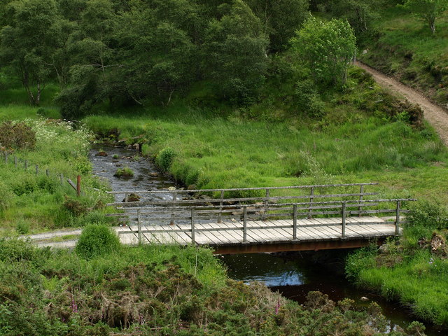
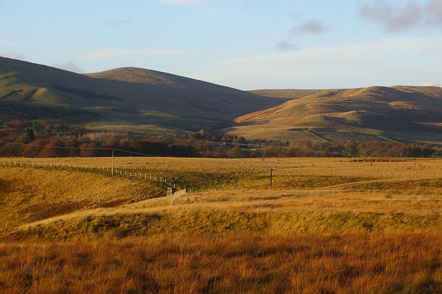
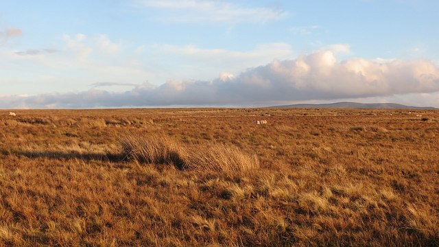
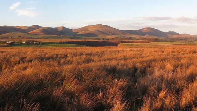
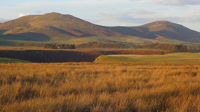
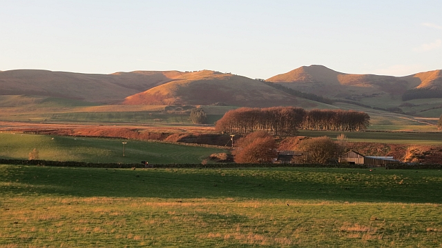
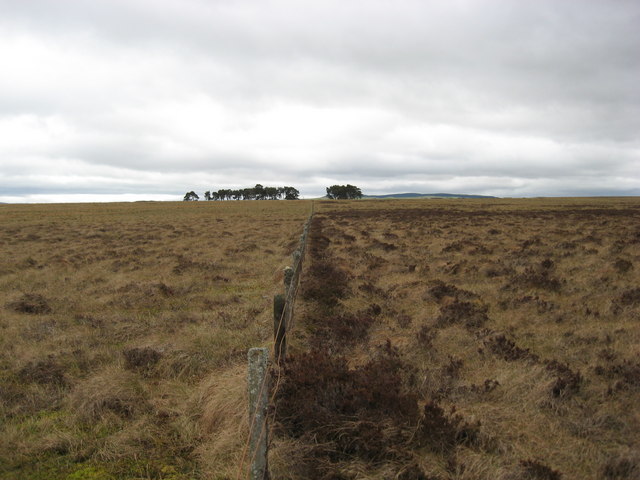
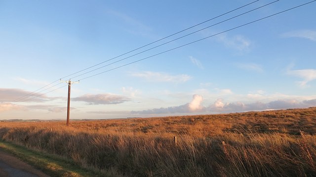
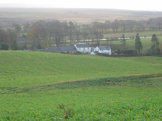
Auchencorth Moss is a notable and picturesque expanse of moorland, situated in Midlothian, Scotland. Covering an area of approximately 80 hectares, it is located just south of the village of Penicuik. The moss is a designated Site of Special Scientific Interest (SSSI), recognized for its ecological significance and unique biodiversity.

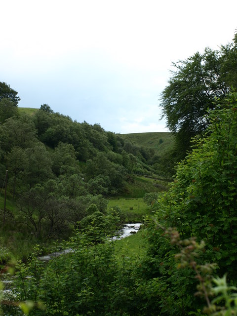
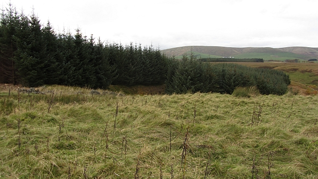
This ancient peatland is characterized by its gently undulating terrain, dominated by heather and grasses. The moss is home to a wide range of plant species, including sphagnum moss, cotton grass, and various sedges. These plants thrive in the acidic and waterlogged conditions, forming a diverse mosaic of colors and textures across the landscape.

Auchencorth Moss plays a vital role in maintaining the health of the surrounding ecosystem. Its extensive peat deposits act as a natural carbon sink, absorbing and storing significant amounts of carbon dioxide from the atmosphere. This makes it an important asset in the fight against climate change.

The moss also provides a habitat for numerous bird species, such as curlews, lapwings, and skylarks, which rely on the open moorland for breeding and foraging. Additionally, the wetlands support a variety of insects, including dragonflies and damselflies, as well as small mammals like voles and shrews.

Due to its ecological importance, Auchencorth Moss is subject to careful conservation management. Access to the site is restricted to designated paths and boardwalks to prevent damage to the fragile peatland. Visitors can appreciate the stunning natural beauty and tranquility of the moss while respecting its fragile ecosystem.

If you have any feedback on the listing, please let us know in the comments section below.

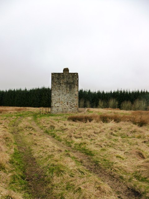
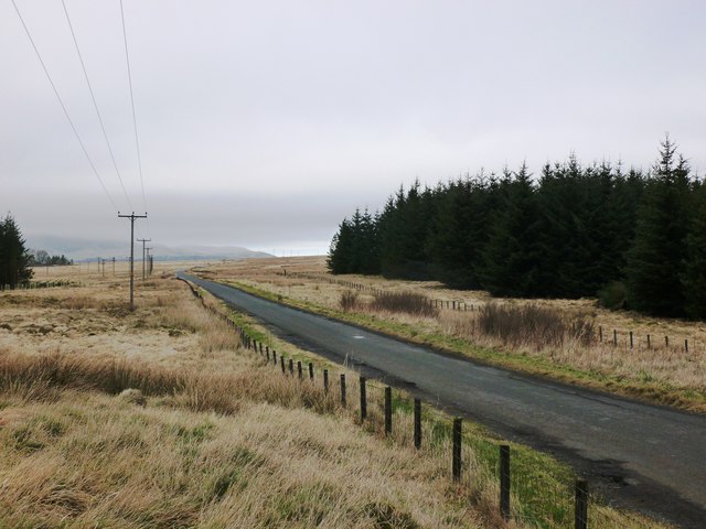
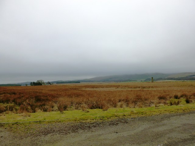
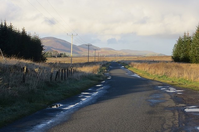
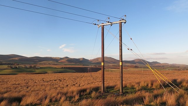
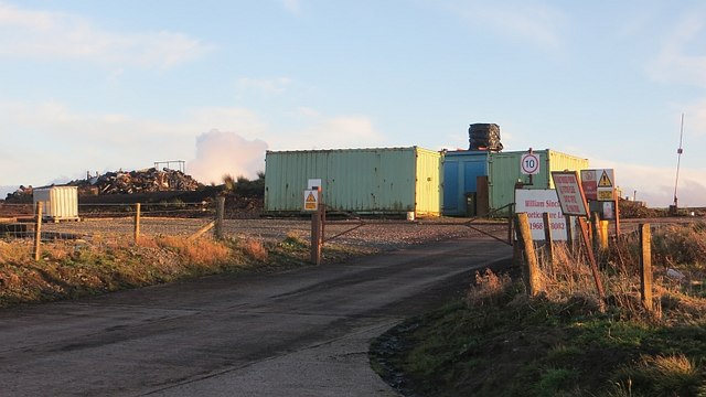
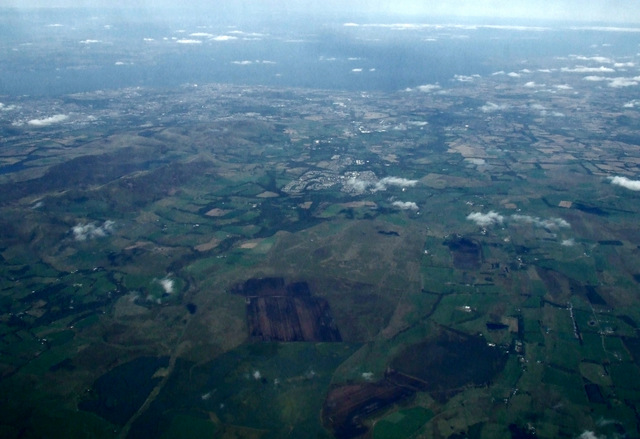
Auchencorth Moss Images

Images are sourced within 2km of 55.785779/-3.2848262 or Grid Reference NT1955. Thanks to Geograph Open Source API. All images are credited.

Small bridge Small bridge constructed over the River.
Small bridge
Small bridge constructed over the River.
Al look up the valley View along the river valley.
Al look up the valley
View along the river valley.
Edge of Deepsyke Forest The woodland edge on Harlaw Moor.
Edge of Deepsyke Forest
The woodland edge on Harlaw Moor.
North Esk Valley from the air Looking over West Linton towards Penicuik from a Prague bound flight from Edinburgh.
North Esk Valley from the air
Looking over West Linton towards Penicuik from a Prague bound flight from Edinburgh.
Survey tower, Deepsyke Forest The tower appears to have been used as part of the surveying process for the construction of the Talla Reservoir and aqueduct.
Survey tower, Deepsyke Forest
The tower appears to have been used as part of the surveying process for the construction of the Talla Reservoir and aqueduct.
Road towards Harlaw Muir This minor road crosses a bleak and unusually flat stretch of moorland south-west of Penicuik.
Road towards Harlaw Muir
This minor road crosses a bleak and unusually flat stretch of moorland south-west of Penicuik.
Harlaw Muir The farm of Harlawmuir can be seen on the left, with a survey pillar related to the construction of the Talla Reservoir and aqueduct standing alone on the right.
Harlaw Muir
The farm of Harlawmuir can be seen on the left, with a survey pillar related to the construction of the Talla Reservoir and aqueduct standing alone on the right.
Harlaw Muir Some of the moor has been planted with conifers.
Harlaw Muir
Some of the moor has been planted with conifers.
Harlaw Muir Flat moorland with old limestone quarries beneath the Pentland Hills.
Harlaw Muir
Flat moorland with old limestone quarries beneath the Pentland Hills.
Harlaw Muir Flat moorland beneath the Pentland Hills.  There is a view here towards Dundriech in the Moorfoot Hills.
Harlaw Muir
Flat moorland beneath the Pentland Hills. There is a view here towards Dundriech in the Moorfoot Hills.
Harlaw Muir A flat moor with an extraordinary feature, the recessed gorge of the North Esk. The wet, acid ground is typical coal measure scenery which away from the limestone is usually poor for agriculture.
Harlaw Muir
A flat moor with an extraordinary feature, the recessed gorge of the North Esk. The wet, acid ground is typical coal measure scenery which away from the limestone is usually poor for agriculture.
Harlaw Muir and Scald Law View of the Pentland Hills from the Penicuik to West Linton road.
Harlaw Muir and Scald Law
View of the Pentland Hills from the Penicuik to West Linton road.
New poles, Auchencorth Moss New wooden poles on a power line across the moor.
New poles, Auchencorth Moss
New wooden poles on a power line across the moor.
Peat works, Auchencorth Moss Peat is dug for horticultural use here.
Peat works, Auchencorth Moss
Peat is dug for horticultural use here.
Auchencorth Improved grazing on limestone contrasts with the acid bog of Auchencorth Moss.
Auchencorth
Improved grazing on limestone contrasts with the acid bog of Auchencorth Moss.
Auchencorth Moss from the air The peat workings <a href="https://www.geograph.org.uk/photo/1004999">NT1953 : Peat workings, Auchencorth Moss</a> can be seen near the bottom of the photo. Edinburgh and the Firth of Forth can be seen in the distance.
Auchencorth Moss from the air
The peat workings NT1953 : Peat workings, Auchencorth Moss can be seen near the bottom of the photo. Edinburgh and the Firth of Forth can be seen in the distance.
Auchencorth Moss looking South Interesting to note how heather grows on the right of the fence but not on the left.
Auchencorth Moss looking South
Interesting to note how heather grows on the right of the fence but not on the left.
Auchencorth Moss A new power line crosses the moor.
Auchencorth Moss
A new power line crosses the moor.
Show me another place!

Auchencorth Moss is located at Grid Ref: NT1955 (Lat: 55.785779, Lng: -3.2848262)

Unitary Authority: Midlothian

Police Authority: The Lothians and Scottish Borders

What 3 Words

///laminate.walkway.swan. Near West Linton, Scottish Borders

Nearby Locations

Auchencorth Moss

Related Wikis

Nine Mile Burn

Nine Mile Burn is a hamlet in Midlothian, Scotland, the last in Midlothian when heading south on the A702 road. It is located at the foot of the Pentland...

Brunstane Castle

Brunstane Castle (alternatively Brunston, Brunstain or Brunstone Castle) is a ruined tower house, dating from the 16th century, around 2 miles (3.2 km...

Lamancha railway station

Lamancha railway station served the hamlet of Lamancha, Peeblesshire, Scotland, from 1864 to 1933 on the Leadburn, Linton and Dolphinton Railway. ��2...

Macbie Hill railway station

Macbie Hill railway station served the hamlet of Coalyburn, Peeblesshire, Scotland, from 1864 to 1933 on the Leadburn, Linton and Dolphinton Railway....

Nearby Amenities

Located within 500m of 55.785779,-3.2848262
Auchencorth Moss
Place: locality
Lat/Long: 55.7863482/-3.28041
The data included in this document is from www.openstreetmap.org. The data is made available under ODbL.

Have you been to Auchencorth Moss?

Leave your review of Auchencorth Moss below (or comments, questions and feedback).