Rhos Goch Common

Downs, Moorland in Radnorshire

Wales

Rhos Goch Common

Very rough road The lane terminates at Green Lane; it doesn't appear to be well-used or maintained!
Very rough road Credit: Jonathan Billinger

The requested URL returned error: 429 Too Many Requests

If you have any feedback on the listing, please let us know in the comments section below.

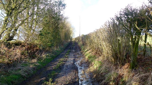
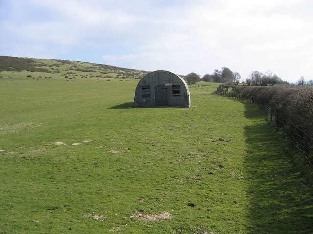
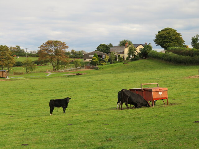
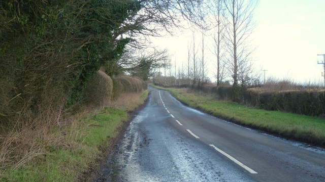
Rhos Goch Common Images

Images are sourced within 2km of 52.127522/-3.1778474 or Grid Reference SO1948. Thanks to Geograph Open Source API. All images are credited.

Very rough road The lane terminates at Green Lane; it doesn't appear to be well-used or maintained!
Very rough road
The lane terminates at Green Lane; it doesn't appear to be well-used or maintained!
Nissen Hut on Newchurch Hill Old Nissen hut on unenclosed land at foot of Newchurch Hill
Nissen Hut on Newchurch Hill
Old Nissen hut on unenclosed land at foot of Newchurch Hill
Cattle at Ty Mawr Hillside pastures at Ty Mawr.
Cattle at Ty Mawr
Hillside pastures at Ty Mawr.
The Bachawy at Weasel Bridge, 1 A substantial tributary of the Wye; here in juvenile phase above Rhos-goch.
The Bachawy at Weasel Bridge, 1
A substantial tributary of the Wye; here in juvenile phase above Rhos-goch.
The Bachawy at Weasel Bridge, 2 A substantial tributary of the Wye; here in juvenile phase above Rhos-goch.
View upstream.
The Bachawy at Weasel Bridge, 2
A substantial tributary of the Wye; here in juvenile phase above Rhos-goch. View upstream.
Footpath to Goblaen House Path is parallel to the farm's main drive.
Footpath to Goblaen House
Path is parallel to the farm's main drive.
B4594 at Lane Farm Includes a B&B business.
B4594 at Lane Farm
Includes a B&B business.
Pines by Pant Lane, Rhos-goch Looking along the dead-end lane up the upper Bachawy valley.
Pines by Pant Lane, Rhos-goch
Looking along the dead-end lane up the upper Bachawy valley.
Hermon Chapel at Rhos-goch Still used as a place of worship.
Hermon Chapel at Rhos-goch
Still used as a place of worship.
Rhosgoch Golf Course entrance A very scenic course according to the website; who can doubt it?
<span class="nowrap"><a title="http://www.rhosgoch-golf.co.uk/" rel="nofollow ugc noopener" href="http://www.rhosgoch-golf.co.uk/">Link</a><img style="margin-left:2px;" alt="External link" title="External link - shift click to open in new window" src="https://s1.geograph.org.uk/img/external.png" width="10" height="10"/></span>
Rhosgoch Golf Course entrance
A very scenic course according to the website; who can doubt it? LinkExternal link
Rhosgoch Golf Course See; <span class="nowrap"><a title="http://www.rhosgoch-golf.co.uk/" rel="nofollow ugc noopener" href="http://www.rhosgoch-golf.co.uk/">Link</a><img style="margin-left:2px;" alt="External link" title="External link - shift click to open in new window" src="https://s1.geograph.org.uk/img/external.png" width="10" height="10"/></span>
Rhosgoch Golf Course
See; LinkExternal link
Portway Farm Large open muddy yard viewed from the B4594.
Portway Farm
Large open muddy yard viewed from the B4594.
B4594 at Portway Looking north-east towards Newchurch.
B4594 at Portway
Looking north-east towards Newchurch.
Field 19 Plus the residents of Field 19 rushing over to see if I've brought some food.
Field 19
Plus the residents of Field 19 rushing over to see if I've brought some food.
Track to Black House Farm The house looks white from here.
Track to Black House Farm
The house looks white from here.
Road to Rhos-goch It's downhill all the way from Bryngwyn to Rhos-goch.
Road to Rhos-goch
It's downhill all the way from Bryngwyn to Rhos-goch.
Towards Bryngwyn The road ascending to the small community from Rhos-goch.
Unusual to see specimen yew trees by a country lane.
Towards Bryngwyn
The road ascending to the small community from Rhos-goch. Unusual to see specimen yew trees by a country lane.
Beech trees near Bryngwyn Unusual to see them as hedgerow trees.
Beech trees near Bryngwyn
Unusual to see them as hedgerow trees.
Show me another place!

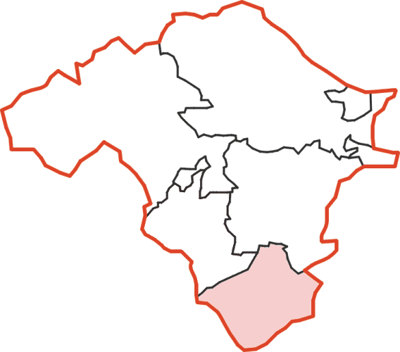
Rhos Goch Common is located at Grid Ref: SO1948 (Lat: 52.127522, Lng: -3.1778474)

Unitary Authority: Powys

Police Authority: Dyfed Powys

What 3 Words

///messed.birthing.shops. Near Clifford, Herefordshire

Nearby Locations

Rhos Goch Common

Related Wikis

Rhos Goch National Nature Reserve

Rhos Goch National Nature Reserve, located near Painscastle on the England/Wales border, is one of the largest raised bogs in mid and south Wales. ‘Goch...

Newchurch, Powys

Newchurch is a small rural village in Powys, Wales, centred around St Mary's Church. The village is within the community of Gladestry, about 5 miles (8...

Painscastle Rural District

Painscastle was, from 1894 to 1974, a rural district in the administrative county of Radnorshire, Wales. The district was formed by the Local Government...

Painscastle

Painscastle (Welsh: Castell-paen) is a village and community in Powys (formerly Radnorshire), Wales which takes its name from the castle at its heart....

Nearby Amenities

Located within 500m of 52.127522,-3.1778474
Ford: yes
Lat/Long: 52.1246268/-3.174118
The data included in this document is from www.openstreetmap.org. The data is made available under ODbL.

Have you been to Rhos Goch Common?

Leave your review of Rhos Goch Common below (or comments, questions and feedback).