Hartley Close Wood

Wood, Forest in Cumberland Copeland

England

Hartley Close Wood

Entrance to Duddon Hall
Entrance to Duddon Hall Credit: P Gaskell

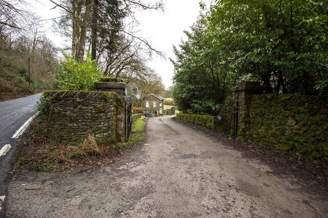
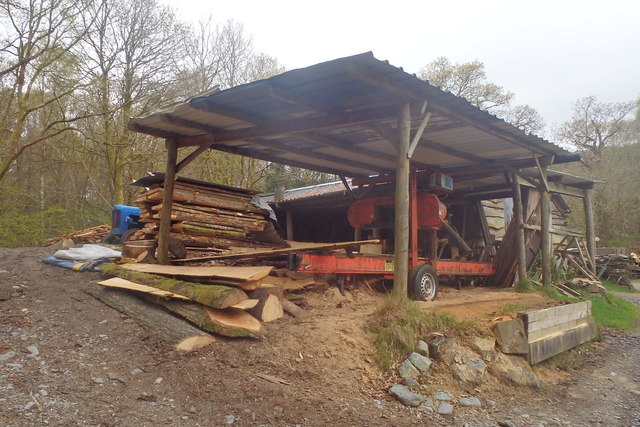
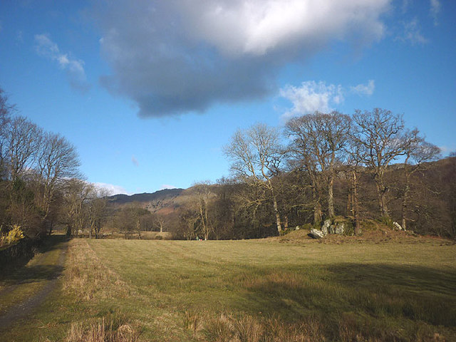
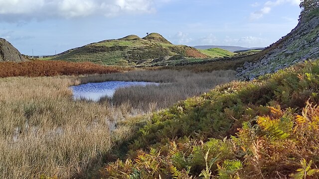
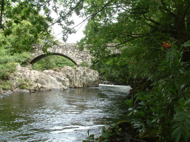
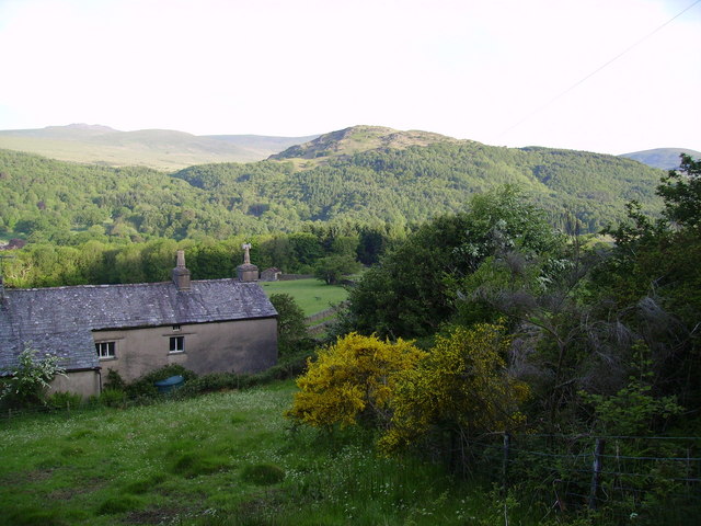
Hartley Close Wood is a picturesque forest located in Cumberland, a historic county in the northwest of England. Stretching over an area of approximately 100 acres, this wood is renowned for its natural beauty and diverse range of flora and fauna.

The wood is primarily composed of deciduous trees, including oak, beech, and birch, which create a stunning canopy of colors during the autumn months. The forest floor is carpeted with a variety of wildflowers, such as bluebells and primroses, adding to its enchanting appeal.

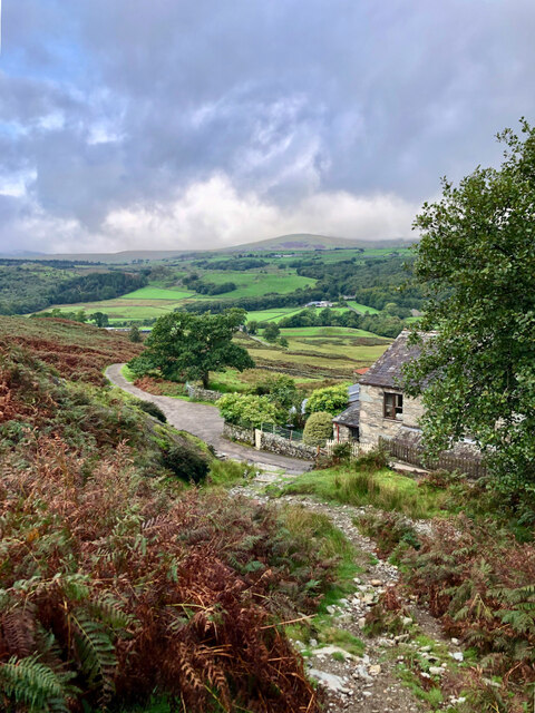
Several walking trails wind their way through Hartley Close Wood, providing visitors with the opportunity to explore its hidden corners and discover its hidden treasures. The paths are well-maintained, making it accessible for all types of nature enthusiasts, from families with young children to avid hikers.

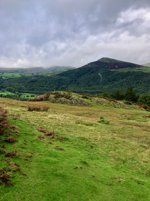
The wood is also home to a diverse range of wildlife. Birdwatchers can spot a variety of species, including woodpeckers, owls, and various songbirds. It is not uncommon to come across small mammals like squirrels and rabbits darting among the trees, while lucky visitors may even catch a glimpse of a deer roaming freely in the forest.

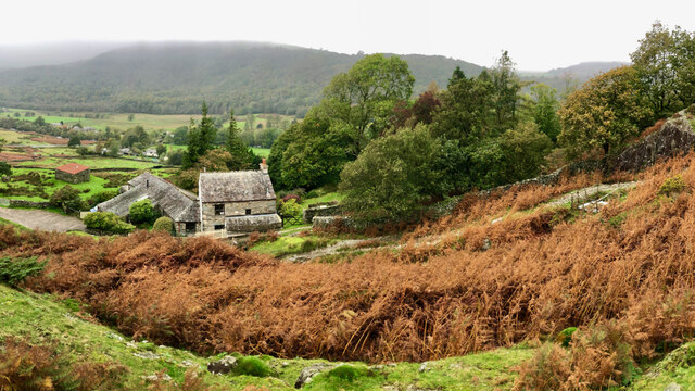
Hartley Close Wood offers a peaceful and tranquil escape from the hustle and bustle of everyday life. Its natural beauty and wildlife make it a popular destination for nature lovers and photographers alike. Whether you are seeking solace in its serene surroundings or hoping to immerse yourself in the wonders of nature, this woodland sanctuary is a must-visit destination in Cumberland.

If you have any feedback on the listing, please let us know in the comments section below.

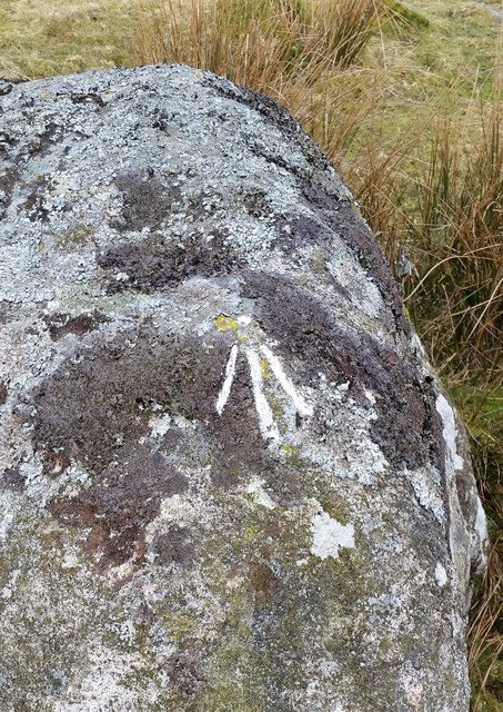
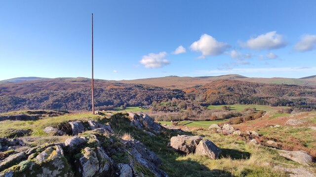
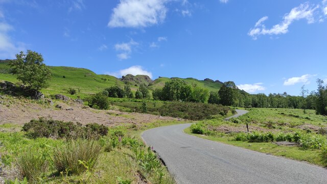
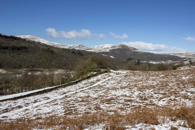
Hartley Close Wood Images

Images are sourced within 2km of 54.310699/-3.2345035 or Grid Reference SD1991. Thanks to Geograph Open Source API. All images are credited.

Entrance to Duddon Hall
Sawmill at Beckfoot On The edge of the hamlet of Beckfoot on the delightful Ulpha Park path.
Sawmill at Beckfoot
On The edge of the hamlet of Beckfoot on the delightful Ulpha Park path.
Pasture by the Duddon The track from Beckfoot skirts this on the west with the Duddon flowing to Rawfold Bridge on the right.
Pasture by the Duddon
The track from Beckfoot skirts this on the west with the Duddon flowing to Rawfold Bridge on the right.
Ordnance Survey Rivet This OS rivet can be found on a boulder NE side of the road. It marks a point 128.778m above mean sea level.
Ordnance Survey Rivet
This OS rivet can be found on a boulder NE side of the road. It marks a point 128.778m above mean sea level.
Ordnance Survey Pivot This OS pivot can be found on a boulder north side of the road. It marks a point 151.068m above mean sea level.
Ordnance Survey Pivot
This OS pivot can be found on a boulder north side of the road. It marks a point 151.068m above mean sea level.
Remains of Weather Cock on Rawfold Bank, with Duddon Hall in view A "Weather Cock" is marked at this position on OS maps: 6 inch, published 1850 and 25 inch, published 1913. This iron pole is currently situated at the location. Duddon Hall can be seen in the centre of the picture.
Remains of Weather Cock on Rawfold Bank, with Duddon Hall in view
A "Weather Cock" is marked at this position on OS maps: 6 inch, published 1850 and 25 inch, published 1913. This iron pole is currently situated at the location. Duddon Hall can be seen in the centre of the picture.
Dunnerdale Fells above Stonestar There is an old postcard of this scene called "Dunnerdale Fells". This is a recent picture of the same from the same location. Peaks include Cat's Crag and Raven's Crag, and what rock-climbers call Stonestar Crag.
This picture is a reverse view of <a href="https://www.geograph.org.uk/photo/7300826">SD1992 : Duddon Valley south of Ulpha</a>.
Dunnerdale Fells above Stonestar
There is an old postcard of this scene called "Dunnerdale Fells". This is a recent picture of the same from the same location. Peaks include Cat's Crag and Raven's Crag, and what rock-climbers call Stonestar Crag. This picture is a reverse view of SD1992 : Duddon Valley south of Ulpha.
Vernacular farm buildings at Rawfold farm
Vernacular farm building
On Dunnerdale Fells near Gowther Barrow I can't work out what these mounds are called. They might be part of Potherilt Hill or Gowther Barrow. They don't seem to be so distinctive when viewed from other angles.
On Dunnerdale Fells near Gowther Barrow
I can't work out what these mounds are called. They might be part of Potherilt Hill or Gowther Barrow. They don't seem to be so distinctive when viewed from other angles.
Fellside above Birks
A far away view of Birks
Rawfold Bridge, River Duddon
Rawfold Farm in the Duddon Valley or Dunnerdale.
Rawfold
Farm in the Duddon Valley or Dunnerdale.
Cattle grid and gate Coming off the open fell of Thwaite Fell, one has the choice of using the cattle grid or the gate before entering wooded valley of the River Duddon.
Cattle grid and gate
Coming off the open fell of Thwaite Fell, one has the choice of using the cattle grid or the gate before entering wooded valley of the River Duddon.
Sheep The road to the right goes to Ulpha whilst the other one carries on to Waberthwaite over Corney Fell
Sheep
The road to the right goes to Ulpha whilst the other one carries on to Waberthwaite over Corney Fell
9pm  Corney Fell Cattle grid leading down to Duddon Bridge.
9pm Corney Fell
Cattle grid leading down to Duddon Bridge.
Show me another place!

Hartley Close Wood is located at Grid Ref: SD1991 (Lat: 54.310699, Lng: -3.2345035)

Administrative County: Cumbria

District: Copeland

Police Authority: Cumbria

What 3 Words

///ruffling.suddenly.flies. Near Millom, Cumbria

Related Wikis

Dunnerdale Fells

Dunnerdale Fells is an upland area in the English Lake District, between Ulpha and Broughton Mills, Cumbria. It is the subject of a chapter of Wainwright...

Duddon Valley

The Duddon Valley is a valley in the southern Lake District National Park in Cumbria, England. The River Duddon flows through the valley, rising in the...

Great Stickle

Great Stickle is a fell located in the southern Lake District of England with an altitude of 305 m (1,001 ft). Alfred Wainwright included it in the Stickle...

Ulpha

Ulpha is a small village and civil parish in the Duddon Valley in the Lake District National Park in Cumbria, England. Historically in Cumberland, it forms...

Blacksmiths Arms, Broughton Mills

The Blacksmiths Arms is a Grade II listed public house at Broughton Mills, Cumbria, England.It is on the Campaign for Real Ale's National Inventory of...

Broughton Mills

Broughton Mills is a village in Cumbria, England, located 3.5 kilometres from the larger town of Broughton-in-furness. The village consists of about 40...

Bank End

Bank End is a village in Cumbria, England. == External links == Media related to Bank End, South Lakeland at Wikimedia Commons

Duddon furnace

The Duddon furnace (Grid Reference SD 197883) is a surviving charcoal-fuelled blast furnace near Broughton-in-Furness in Cumbria. It is on the west side...

Nearby Amenities

Located within 500m of 54.310699,-3.2345035
Stonestar
Place: hamlet
Lat/Long: 54.3100341/-3.2290965
Ford: yes
Lat/Long: 54.3110315/-3.2299492
Power: pole
Lat/Long: 54.3145443/-3.2330039
Power: pole
Lat/Long: 54.3137844/-3.2327271
Power: pole
Lat/Long: 54.3129253/-3.232423
Power: pole
Lat/Long: 54.3119364/-3.2319987
Power: pole
Lat/Long: 54.3101836/-3.2318875
Power: pole
Lat/Long: 54.3090755/-3.2313043
The data included in this document is from www.openstreetmap.org. The data is made available under ODbL.

Have you been to Hartley Close Wood?

Leave your review of Hartley Close Wood below (or comments, questions and feedback).