Den Moss

Downs, Moorland in Caithness

Scotland

Den Moss

Moorland near Den Moss Looking over towards the windfarm in ND1535.
Moorland near Den Moss Credit: sylvia duckworth

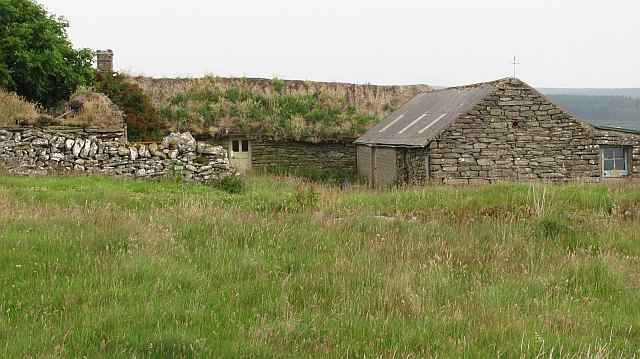
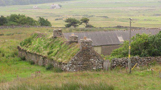
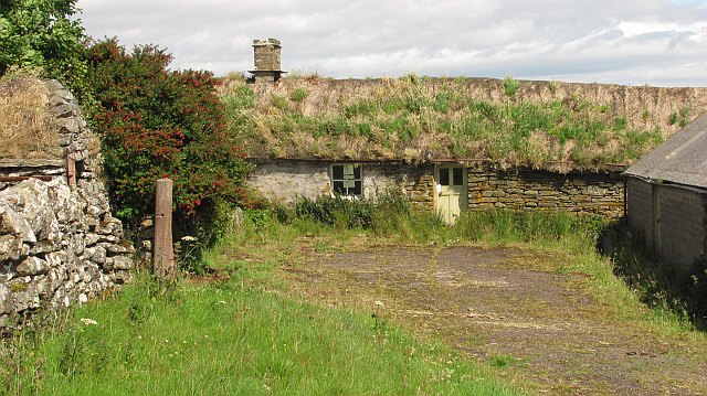
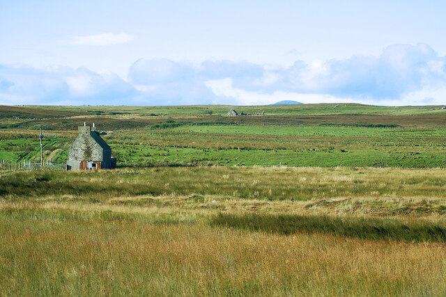
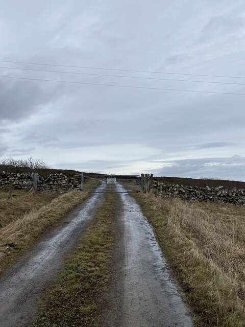
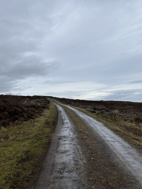
Den Moss is a picturesque area located in Caithness, Scotland, known for its unique combination of downs and moorland landscapes. Stretching over a vast expanse of land, this natural beauty is a haven for nature enthusiasts and offers a tranquil escape from the hustle and bustle of everyday life.

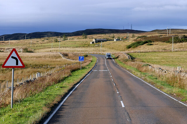
The downs of Den Moss are characterized by their gentle slopes and rolling hills, covered in lush grasses and scattered with wildflowers. The undulating terrain provides a stunning panoramic view of the surrounding countryside, making it a popular spot for hikers, walkers, and photographers alike.

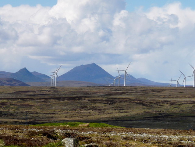
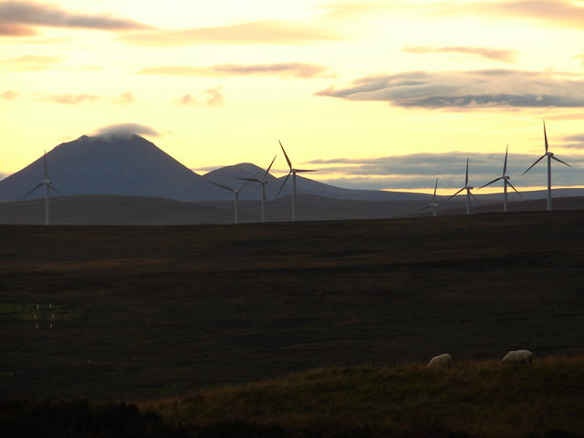
In contrast, the moorland of Den Moss is a rugged and wild landscape, featuring vast stretches of heather and peat bogs. This rugged terrain is home to a wide variety of plants and animal species, including the iconic Scottish Highland cattle and various species of birds. The moorland also boasts several lochs and streams, adding to the natural charm of the area.

Den Moss is not only a visual delight but also a sanctuary for wildlife. It is a designated Site of Special Scientific Interest (SSSI) due to its rich biodiversity and unique ecosystems. The moss provides a habitat for a range of plant species, including sphagnum moss, cotton grass, and heather, which in turn attract insects, birds, and small mammals.

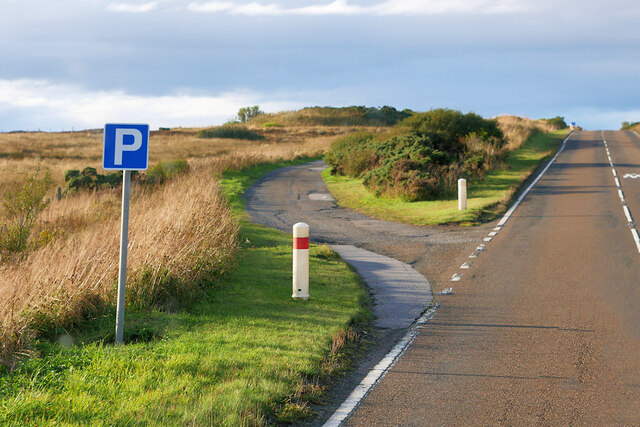
Visitors to Den Moss can enjoy peaceful walks along designated trails, immersing themselves in the tranquility of nature. The area offers a sense of solitude and a chance to reconnect with the natural world, making it a beloved destination for those seeking a serene outdoor experience.

In summary, Den Moss in Caithness is an enchanting blend of downs and moorland, offering breathtaking scenery, diverse wildlife, and a peaceful atmosphere for nature lovers to explore and enjoy.

If you have any feedback on the listing, please let us know in the comments section below.

Den Moss Images

Images are sourced within 2km of 58.303952/-3.3874607 or Grid Reference ND1835. Thanks to Geograph Open Source API. All images are credited.

Moorland near Den Moss Looking over towards the windfarm in ND1535.
Moorland near Den Moss
Looking over towards the windfarm in ND1535.
Moorland sundown Den Moss and a gathering dusk.
Moorland sundown
Den Moss and a gathering dusk.
Ruin and Tree
Ruin and Tree
Den Moss from the A9
Corr Reputed to be the last thatched Caithness longhouse. 

In 2011 it was placed on the market and it is hoped that this listed building is saved. Time is running out as the thatch can only last so long. I noticed on the television that "danger enter at own risk" signs had appeared.
Corr
Reputed to be the last thatched Caithness longhouse. In 2011 it was placed on the market and it is hoped that this listed building is saved. Time is running out as the thatch can only last so long. I noticed on the television that "danger enter at own risk" signs had appeared.
Ruined Croft Buildings Another Caithness ruin. One day I'm going to try and photograph them all!!
Ruined Croft Buildings
Another Caithness ruin. One day I'm going to try and photograph them all!!
A9 north of Latheron The A9 is a strategic link between the Highlands of Scotland and the Central Belt. Running for 273 miles, it is the longest road in Scotland and the fifth-longest A-road in the United Kingdom. Historically it was the main road between Edinburgh and John o' Groats but its importance has been eclipsed somewhat in the south by the A90 across the Forth Road Bridge and the M90 motorway, which now links Edinburgh more directly with Perth, and the M9, which is now the main road between Edinburgh and Bridge of Allan.
A9 north of Latheron
The A9 is a strategic link between the Highlands of Scotland and the Central Belt. Running for 273 miles, it is the longest road in Scotland and the fifth-longest A-road in the United Kingdom. Historically it was the main road between Edinburgh and John o' Groats but its importance has been eclipsed somewhat in the south by the A90 across the Forth Road Bridge and the M90 motorway, which now links Edinburgh more directly with Perth, and the M9, which is now the main road between Edinburgh and Bridge of Allan.
Upper Latheron An old stone croft house seen from the A9 at Upper Latheron.
Upper Latheron
An old stone croft house seen from the A9 at Upper Latheron.
Parking Area on the A9, Upper Latheron The A9 is a strategic link between the Highlands of Scotland and the Central Belt. Running for 273 miles, it is the longest road in Scotland and the fifth-longest A-road in the United Kingdom. Historically it was the main road between Edinburgh and John o' Groats but its importance has been eclipsed somewhat in the south by the A90 across the Forth Road Bridge and the M90 motorway, which now links Edinburgh more directly with Perth, and the M9, which is now the main road between Edinburgh and Bridge of Allan.
Parking Area on the A9, Upper Latheron
The A9 is a strategic link between the Highlands of Scotland and the Central Belt. Running for 273 miles, it is the longest road in Scotland and the fifth-longest A-road in the United Kingdom. Historically it was the main road between Edinburgh and John o' Groats but its importance has been eclipsed somewhat in the south by the A90 across the Forth Road Bridge and the M90 motorway, which now links Edinburgh more directly with Perth, and the M9, which is now the main road between Edinburgh and Bridge of Allan.
Off-road Parking Area, A9 north of Latheron The A9 is a strategic link between the Highlands of Scotland and the Central Belt. Running for 273 miles, it is the longest road in Scotland and the fifth-longest A-road in the United Kingdom. Historically it was the main road between Edinburgh and John o' Groats but its importance has been eclipsed somewhat in the south by the A90 across the Forth Road Bridge and the M90 motorway, which now links Edinburgh more directly with Perth, and the M9, which is now the main road between Edinburgh and Bridge of Allan.
Off-road Parking Area, A9 north of Latheron
The A9 is a strategic link between the Highlands of Scotland and the Central Belt. Running for 273 miles, it is the longest road in Scotland and the fifth-longest A-road in the United Kingdom. Historically it was the main road between Edinburgh and John o' Groats but its importance has been eclipsed somewhat in the south by the A90 across the Forth Road Bridge and the M90 motorway, which now links Edinburgh more directly with Perth, and the M9, which is now the main road between Edinburgh and Bridge of Allan.
A9 north of Latheron The A9 is a strategic link between the Highlands of Scotland and the Central Belt. Running for 273 miles, it is the longest road in Scotland and the fifth-longest A-road in the United Kingdom. Historically it was the main road between Edinburgh and John o' Groats but its importance has been eclipsed somewhat in the south by the A90 across the Forth Road Bridge and the M90 motorway, which now links Edinburgh more directly with Perth, and the M9, which is now the main road between Edinburgh and Bridge of Allan.
A9 north of Latheron
The A9 is a strategic link between the Highlands of Scotland and the Central Belt. Running for 273 miles, it is the longest road in Scotland and the fifth-longest A-road in the United Kingdom. Historically it was the main road between Edinburgh and John o' Groats but its importance has been eclipsed somewhat in the south by the A90 across the Forth Road Bridge and the M90 motorway, which now links Edinburgh more directly with Perth, and the M9, which is now the main road between Edinburgh and Bridge of Allan.
Electricity Pylon west of the A9 View westwards from the A9.
Electricity Pylon west of the A9
View westwards from the A9.
Ruined Croft by the side of the A9
Layby on the A9 near Crofts of Benachielt The A9 is a strategic link between the Highlands of Scotland and the Central Belt. Running for 273 miles, it is the longest road in Scotland and the fifth-longest A-road in the United Kingdom. Historically it was the main road between Edinburgh and John o' Groats but its importance has been eclipsed somewhat in the south by the A90 across the Forth Road Bridge and the M90 motorway, which now links Edinburgh more directly with Perth, and the M9, which is now the main road between Edinburgh and Bridge of Allan.
Layby on the A9 near Crofts of Benachielt
The A9 is a strategic link between the Highlands of Scotland and the Central Belt. Running for 273 miles, it is the longest road in Scotland and the fifth-longest A-road in the United Kingdom. Historically it was the main road between Edinburgh and John o' Groats but its importance has been eclipsed somewhat in the south by the A90 across the Forth Road Bridge and the M90 motorway, which now links Edinburgh more directly with Perth, and the M9, which is now the main road between Edinburgh and Bridge of Allan.
Start of mast track to Benachielt Trig Point
Mast track to Benachielt Trig Point
Show me another place!

Den Moss is located at Grid Ref: ND1835 (Lat: 58.303952, Lng: -3.3874607)

Unitary Authority: Highland

Police Authority: Highlands and Islands

What 3 Words

///retrain.solicitor.inversely. Near Dunbeath, Highland

Nearby Locations

Den Moss Hill of Leodebest

Related Wikis

Smerral

Smerral is a small hamlet on the eastern coast of Caithness, Scottish Highlands and is in the Scottish council area of Highland. It lies 1 mile (1.6 km...

Landhallow

Landhallow is a small village, approximately 1 mile west of Latheron in eastern Caithness, Scottish Highlands and is in the Scottish council area of...

Rumster Forest transmitting station

The Rumster Forest transmitting station is a broadcasting and telecommunications facility near the town of Wick, in Caithness, Scotland (grid reference...

Latheron

Latheron (from Scottish Gaelic Latharn 'muddy place') is a small village and civil parish in Caithness, in the Highland area of Scotland, centred on the...

Latheronwheel

Latheronwheel (from Scottish Gaelic Latharn a' Phuill 'muddy place of the pool') is a small village in Caithness, in the Highland area of Scotland. It...

Houstry

Houstry is a scattered crofting village, in the east coast of Dunbeath, Caithness, Scottish Highlands and is in the Scottish council area of Highland.A...

Forse Castle

Forse Castle is a ruined building dating from 1200 in the hamlet of Forse in the Caithness region in the Scottish council area of Highland. It is protected...

Achavanich

Achavanich ( ak-ə-VAN-ik; Scottish Gaelic: Achadh a’ Mhanaich) is an unusual megalithic horseshoe-shaped structure near Loch Stemster in Caithness, Scotland...

Have you been to Den Moss?

Leave your review of Den Moss below (or comments, questions and feedback).