Walstone Muir
Downs, Moorland in Midlothian
Scotland
Walstone Muir
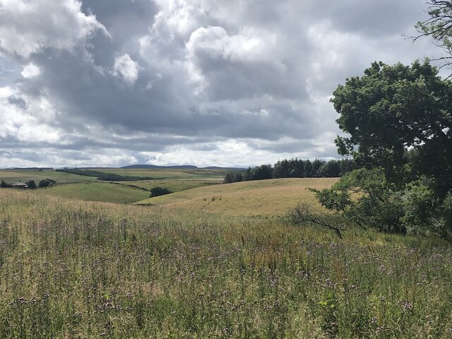
Walstone Muir is a region located in Midlothian, Scotland, known for its picturesque landscape of downs and moorland. Situated in the southern part of the country, it covers an area of approximately 20 square miles.
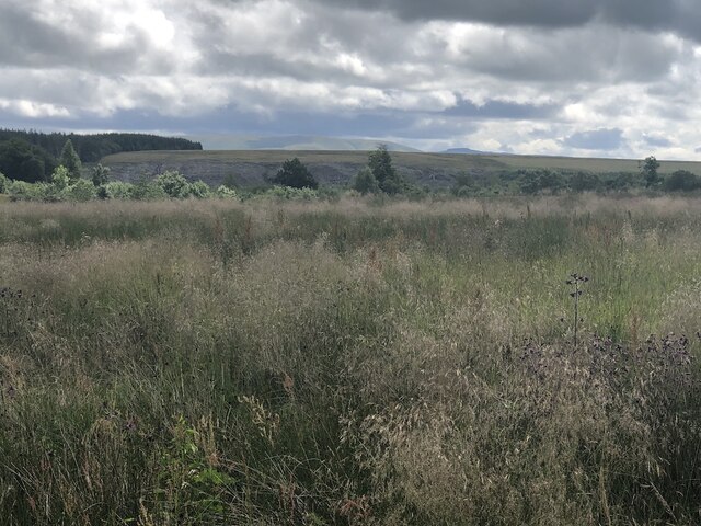
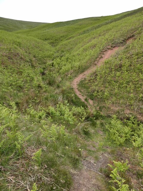
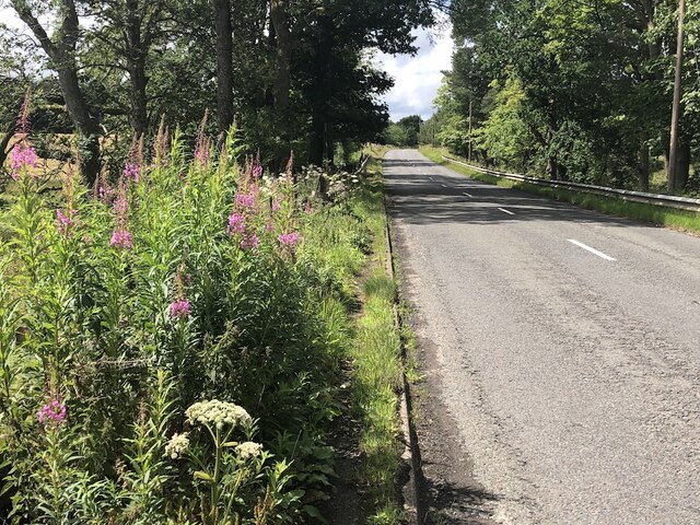
The downs of Walstone Muir are characterized by rolling hills and gentle slopes, covered with lush green grasses and scattered with small shrubs and bushes. These downs provide an ideal habitat for various bird species, including skylarks and meadow pipits, which can often be seen and heard singing in the area.
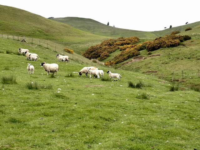
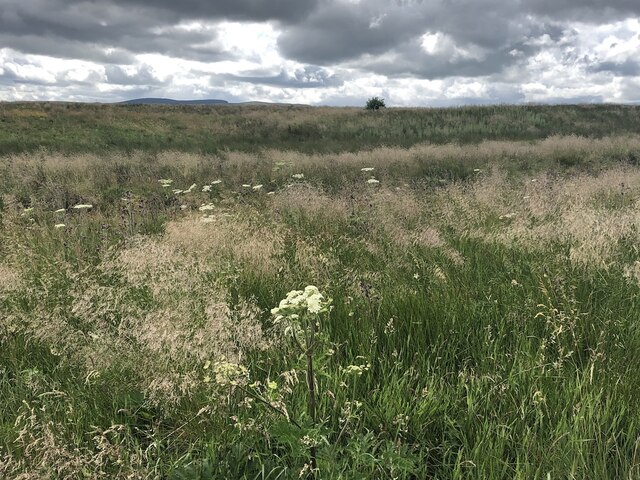
The moorland in Walstone Muir features vast expanses of open, windswept terrain, dominated by heather, grasses, and mosses. The moorland provides a unique ecosystem, supporting a range of flora and fauna, including heathland plants like bell heather and cross-leaved heath, as well as insects such as butterflies and dragonflies.
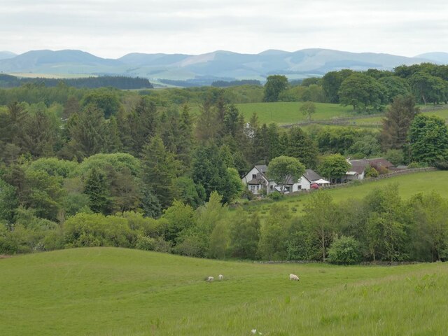
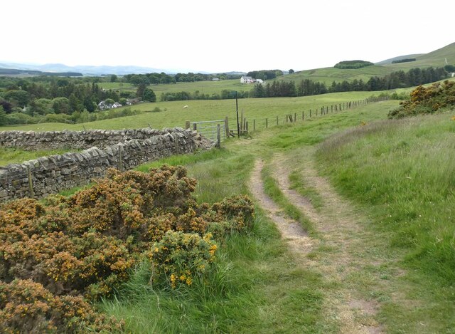
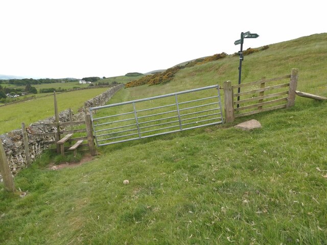
Walstone Muir is also home to several walking trails and nature reserves, making it a popular destination for outdoor enthusiasts and nature lovers. Visitors can explore the downs and moorland on foot, enjoying panoramic views of the surrounding countryside and the distant hills.
The region experiences a temperate climate, with mild summers and cool winters. Rainfall is evenly distributed throughout the year, contributing to the vibrant vegetation and diverse wildlife found in Walstone Muir.
Overall, Walstone Muir in Midlothian offers a tranquil and scenic environment, where visitors can immerse themselves in the natural beauty of the downs and moorland, while enjoying the abundance of wildlife and the peacefulness of the countryside.
If you have any feedback on the listing, please let us know in the comments section below.
Walstone Muir Images
Images are sourced within 2km of 55.805894/-3.2980614 or Grid Reference NT1857. Thanks to Geograph Open Source API. All images are credited.


Walstone Muir is located at Grid Ref: NT1857 (Lat: 55.805894, Lng: -3.2980614)
Unitary Authority: Midlothian
Police Authority: The Lothians and Scottish Borders
What 3 Words
///ideas.faces.piglets. Near Penicuik, Midlothian
Nearby Locations
Related Wikis
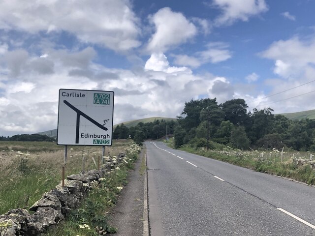
Nine Mile Burn
Nine Mile Burn is a hamlet in Midlothian, Scotland, the last in Midlothian when heading south on the A702 road. It is located at the foot of the Pentland...

Brunstane Castle
Brunstane Castle (alternatively Brunston, Brunstain or Brunstone Castle) is a ruined tower house, dating from the 16th century, around 2 miles (3.2 km...

Eight Mile Burn
Eight Mile Burn is a small settlement in Midlothian, South East Scotland, at the base of Pentland Hills Regional Park. It is approximately 11 miles from...

South Black Hill
South Black Hill is a hill in the Pentland Hills range of Scotland. It is located in the west of Midlothian on the east flank of the approximately 25 km...
Nearby Amenities
Located within 500m of 55.805894,-3.2980614Have you been to Walstone Muir?
Leave your review of Walstone Muir below (or comments, questions and feedback).