Walstone Moss

Downs, Moorland in Midlothian

Scotland

Walstone Moss

Rough ground by the Carlops Road Appears not to have been grazed for some time.
Rough ground by the Carlops Road Credit: Richard Webb

Walstone Moss is a picturesque area located in Midlothian, Scotland. Nestled amidst the stunning landscapes of the region, it is renowned for its diverse natural features, including downs and moorland.

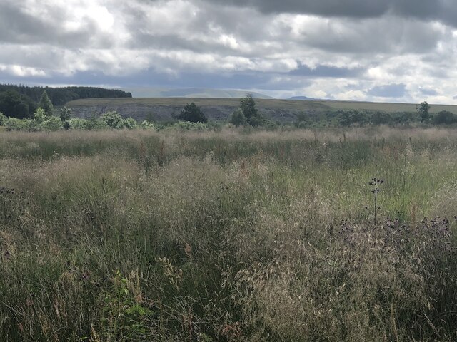
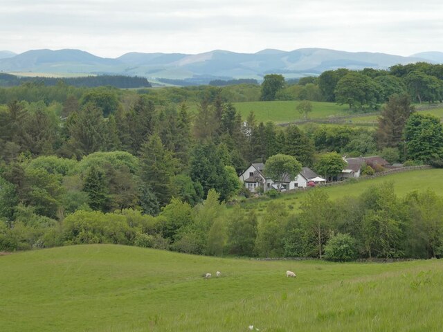
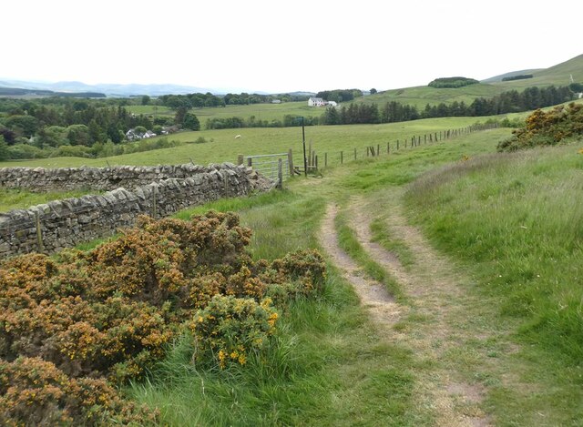
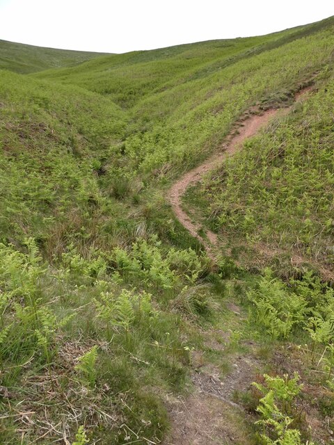
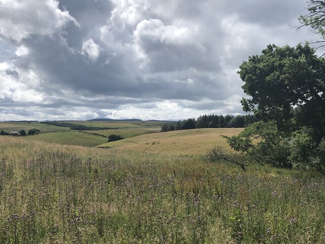
Covering an expansive area, Walstone Moss is characterized by its rolling hills and undulating terrain. The downs, which are essentially open grassy areas, offer panoramic views of the surrounding countryside. These downs are often used for recreational activities such as hiking, picnicking, and wildlife observation. Visitors can enjoy the peaceful atmosphere and take in the magnificent vistas that stretch as far as the eye can see.

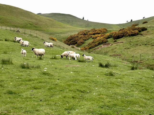
The moorland in Walstone Moss is a haven for nature enthusiasts. Blanketed with heather and gorse, this unique habitat supports a variety of plant and animal species. The moorland is particularly enchanting in the late summer when the heather blooms, painting the landscape with vibrant hues of purple and pink.

In addition to its natural beauty, Walstone Moss also has historical significance. The area is dotted with remnants of ancient settlements, including stone circles and burial sites. These archaeological sites provide valuable insights into the region's past and attract historians and archaeologists from around the world.

Overall, Walstone Moss in Midlothian is a captivating destination that offers a harmonious blend of natural wonders and historical treasures. Whether you are seeking outdoor adventures, tranquility, or a glimpse into the past, this area has something to offer for everyone.

If you have any feedback on the listing, please let us know in the comments section below.

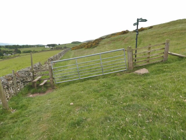
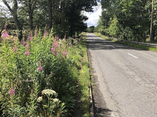
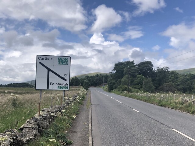
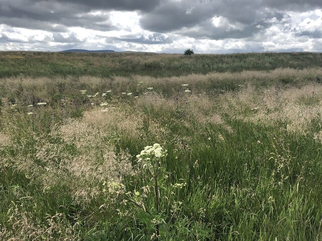
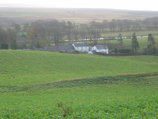
Walstone Moss Images

Images are sourced within 2km of 55.808213/-3.3022871 or Grid Reference NT1857. Thanks to Geograph Open Source API. All images are credited.

Rough ground by the Carlops Road Appears not to have been grazed for some time.
Rough ground by the Carlops Road
Appears not to have been grazed for some time.
Rough ground by the Carlops Road The field above the Braidwood Burn appears to have been left ungrazed or unmown.
Rough ground by the Carlops Road
The field above the Braidwood Burn appears to have been left ungrazed or unmown.
Cottages at Nine Mile Burn The nearest cottage has clearly been extended in a manner not entirely consistent with the rest of the row.
Cottages at Nine Mile Burn
The nearest cottage has clearly been extended in a manner not entirely consistent with the rest of the row.
Bus stop at Nine Mile Burn On the A702.
Bus stop at Nine Mile Burn
On the A702.
Stile on Scroggy Hill The Pentland Way is a 32 km long-distance path along the length of the Pentland Hills, established in 2015. The section from Nine Mile Burn to West Kip follows a relatively new path up Monk's Rigg (seen here) which does not appear as yet on OS maps.
Stile on Scroggy Hill
The Pentland Way is a 32 km long-distance path along the length of the Pentland Hills, established in 2015. The section from Nine Mile Burn to West Kip follows a relatively new path up Monk's Rigg (seen here) which does not appear as yet on OS maps.
Stile on the Pentland Way Looking across the valley of the Monk's Burn.
Stile on the Pentland Way
Looking across the valley of the Monk's Burn.
Looking down on Nine Mile Burn Hamlet set back from the A702. Moorfoot Hills in the distance.
Looking down on Nine Mile Burn
Hamlet set back from the A702. Moorfoot Hills in the distance.
"The Firs" Houses to the west of Nine Mile Burn. Moorfoot Hills in the distance.
"The Firs"
Houses to the west of Nine Mile Burn. Moorfoot Hills in the distance.
Track above Nine Mile Burn
Gate on track above Nine Mile Burn The signpost points to alternative routes up to the summit of West Kip - Monk's Rigg (to the right) and Braid Law (towards the camera).
Gate on track above Nine Mile Burn
The signpost points to alternative routes up to the summit of West Kip - Monk's Rigg (to the right) and Braid Law (towards the camera).
Wool gathering On a fence above Walstone Farm.
Wool gathering
On a fence above Walstone Farm.
Sheep in the valley of the Walstone Burn Cap Law on the skyline.
Sheep in the valley of the Walstone Burn
Cap Law on the skyline.
Path in the valley  of the Quarrel Burn Heading up Braid Law.
Path in the valley of the Quarrel Burn
Heading up Braid Law.
Path across the Quarrel Burn Quarrel Burn Reservoir in the background.
Path across the Quarrel Burn
Quarrel Burn Reservoir in the background.
Near Brunstane View from the very scenic Penicuik  to Carlops road.
Near Brunstane
View from the very scenic Penicuik to Carlops road.
A766, Braidwood
A766, Braidwood
West end of the A766 The A766 is a very scenic short road out of Penicuik.  Note the skier on the sign - the Pentland Hills are very popular with skiers in Winter and there is also the all season slope at Hillend, so very appropriate.
West end of the A766
The A766 is a very scenic short road out of Penicuik. Note the skier on the sign - the Pentland Hills are very popular with skiers in Winter and there is also the all season slope at Hillend, so very appropriate.
Walstone Moss Bog and moorland beneath the Pentland Hills.
Walstone Moss
Bog and moorland beneath the Pentland Hills.
Show me another place!

Walstone Moss is located at Grid Ref: NT1857 (Lat: 55.808213, Lng: -3.3022871)

Unitary Authority: Midlothian

Police Authority: The Lothians and Scottish Borders

What 3 Words

///irrigate.amending.walled. Near Penicuik, Midlothian

Related Wikis

Nine Mile Burn

Nine Mile Burn is a hamlet in Midlothian, Scotland, the last in Midlothian when heading south on the A702 road. It is located at the foot of the Pentland...

Eight Mile Burn

Eight Mile Burn is a small settlement in Midlothian, South East Scotland, at the base of Pentland Hills Regional Park. It is approximately 11 miles from...

Brunstane Castle

Brunstane Castle (alternatively Brunston, Brunstain or Brunstone Castle) is a ruined tower house, dating from the 16th century, around 2 miles (3.2 km...

South Black Hill

South Black Hill is a hill in the Pentland Hills range of Scotland. It is located in the west of Midlothian on the east flank of the approximately 25 km...

Nearby Amenities

Located within 500m of 55.808213,-3.3022871
Power: pole
Lat/Long: 55.8044361/-3.3063557
Power: pole
Lat/Long: 55.8054274/-3.3075457
Power: pole
Lat/Long: 55.8062332/-3.3072198
Power: pole
Lat/Long: 55.8067862/-3.3065849
Power: pole
Lat/Long: 55.8073639/-3.3058911
Material: wood
Power: pole
Lat/Long: 55.8079452/-3.3052225
Material: wood
Power: pole
Lat/Long: 55.8085277/-3.3045582
Material: wood
Power: pole
Lat/Long: 55.8091219/-3.3038455
The data included in this document is from www.openstreetmap.org. The data is made available under ODbL.

Have you been to Walstone Moss?

Leave your review of Walstone Moss below (or comments, questions and feedback).