Hill of Leodebest

Hill, Mountain in Caithness

Scotland

Hill of Leodebest

Moorland near Den Moss Looking over towards the windfarm in ND1535.
Moorland near Den Moss Credit: sylvia duckworth

The Hill of Leodebest is a prominent landform located in the county of Caithness, Scotland. Rising to an elevation of approximately 278 meters (912 feet), it is classified as a hill rather than a mountain due to its lower height. However, it still offers impressive views of the surrounding landscape.

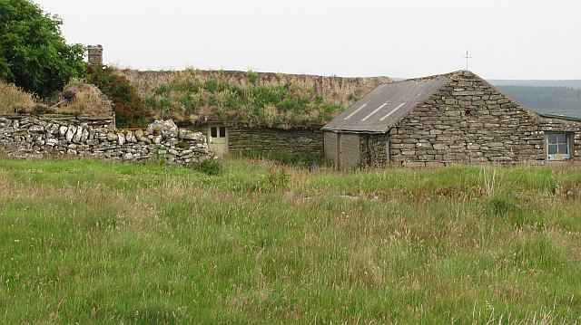
Situated near the village of Lybster, the Hill of Leodebest is part of the undulating terrain that characterizes Caithness. Its summit is adorned with a cairn, a man-made pile of stones typically used as a marker or memorial. This cairn is believed to have been constructed during the Bronze Age, adding historical significance to the site.

The hill is easily accessible, with several footpaths leading to its summit from the surrounding areas. Hikers and nature enthusiasts are drawn to the Hill of Leodebest for its panoramic vistas of the Caithness countryside, including expansive views of the North Sea coastline. On clear days, the Orkney Islands can even be seen in the distance.

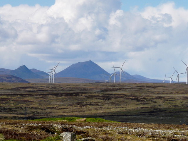
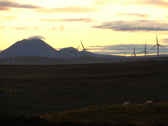
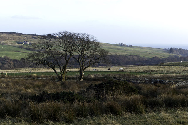
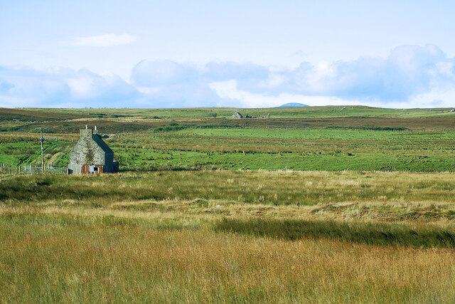
The surrounding landscape is characterized by rolling hills, moorlands, and scattered small lochs. The area is known for its abundance of wildlife, including various bird species, rabbits, and deer. The Hill of Leodebest provides an excellent vantage point for birdwatching and enjoying the natural beauty of the region.

Overall, the Hill of Leodebest in Caithness offers a rewarding hiking experience, historical interest, and breathtaking views of the surrounding countryside, making it a popular destination for locals and visitors alike.

If you have any feedback on the listing, please let us know in the comments section below.

Hill of Leodebest Images

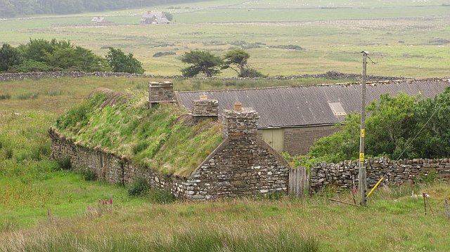
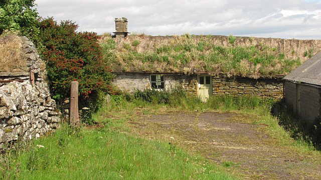
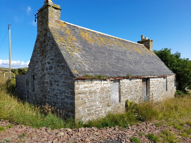
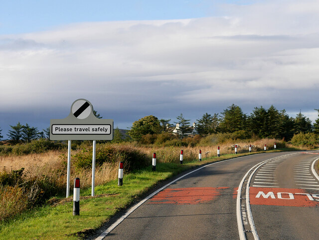
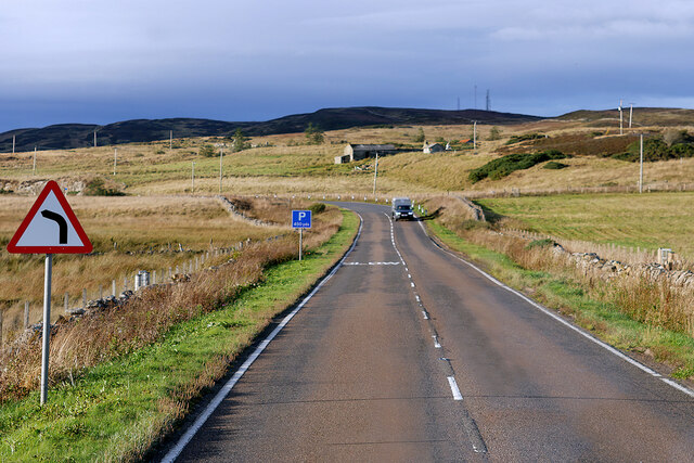
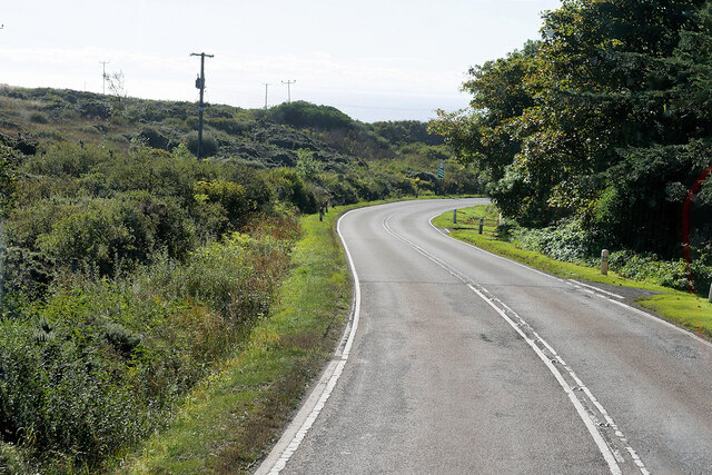
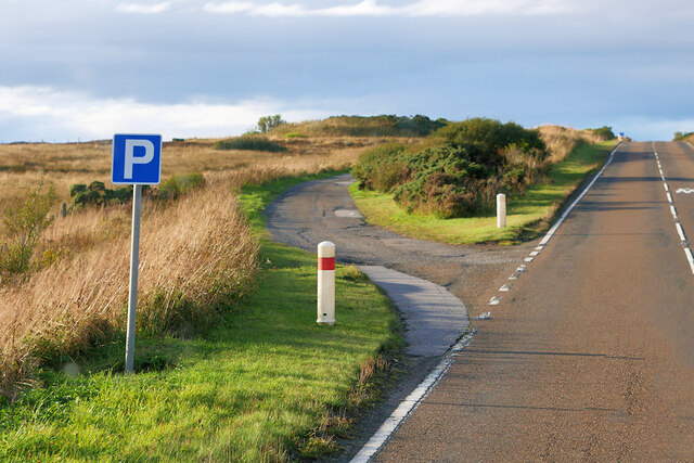
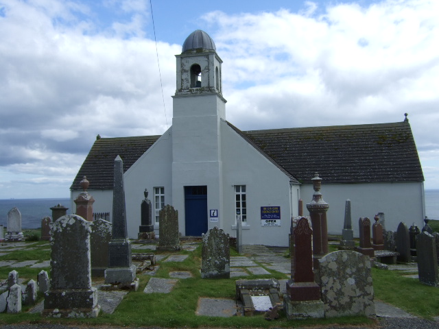
Images are sourced within 2km of 58.296713/-3.3923298 or Grid Reference ND1835. Thanks to Geograph Open Source API. All images are credited.

Moorland near Den Moss Looking over towards the windfarm in ND1535.
Moorland near Den Moss
Looking over towards the windfarm in ND1535.
Moorland sundown Den Moss and a gathering dusk.
Moorland sundown
Den Moss and a gathering dusk.
Ruin and Tree
Ruin and Tree
Tree, Ruin and Cows
Tree, Ruin and Cows
Den Moss from the A9
Corr Reputed to be the last thatched Caithness longhouse. 

In 2011 it was placed on the market and it is hoped that this listed building is saved. Time is running out as the thatch can only last so long. I noticed on the television that "danger enter at own risk" signs had appeared.
Corr
Reputed to be the last thatched Caithness longhouse. In 2011 it was placed on the market and it is hoped that this listed building is saved. Time is running out as the thatch can only last so long. I noticed on the television that "danger enter at own risk" signs had appeared.
Wild Raspberries, Latheronwheel By the roadside.
Wild Raspberries, Latheronwheel
By the roadside.
Derelict Cottage at Smerral One of many derelict and ruined cottages in this area.
Derelict Cottage at Smerral
One of many derelict and ruined cottages in this area.
Ruined Croft Buildings Another Caithness ruin. One day I'm going to try and photograph them all!!
Ruined Croft Buildings
Another Caithness ruin. One day I'm going to try and photograph them all!!
OS Cut mark at Smerral OS benchmark on the gable of a ruined croft building.
OS Cut mark at Smerral
OS benchmark on the gable of a ruined croft building.
Northbound A9 leaving Latheron The A9 is a strategic link between the Highlands of Scotland and the Central Belt. Running for 273 miles, it is the longest road in Scotland and the fifth-longest A-road in the United Kingdom. Historically it was the main road between Edinburgh and John o' Groats but its importance has been eclipsed somewhat in the south by the A90 across the Forth Road Bridge and the M90 motorway, which now links Edinburgh more directly with Perth, and the M9, which is now the main road between Edinburgh and Bridge of Allan.
Northbound A9 leaving Latheron
The A9 is a strategic link between the Highlands of Scotland and the Central Belt. Running for 273 miles, it is the longest road in Scotland and the fifth-longest A-road in the United Kingdom. Historically it was the main road between Edinburgh and John o' Groats but its importance has been eclipsed somewhat in the south by the A90 across the Forth Road Bridge and the M90 motorway, which now links Edinburgh more directly with Perth, and the M9, which is now the main road between Edinburgh and Bridge of Allan.
A9 north of Latheron The A9 is a strategic link between the Highlands of Scotland and the Central Belt. Running for 273 miles, it is the longest road in Scotland and the fifth-longest A-road in the United Kingdom. Historically it was the main road between Edinburgh and John o' Groats but its importance has been eclipsed somewhat in the south by the A90 across the Forth Road Bridge and the M90 motorway, which now links Edinburgh more directly with Perth, and the M9, which is now the main road between Edinburgh and Bridge of Allan.
A9 north of Latheron
The A9 is a strategic link between the Highlands of Scotland and the Central Belt. Running for 273 miles, it is the longest road in Scotland and the fifth-longest A-road in the United Kingdom. Historically it was the main road between Edinburgh and John o' Groats but its importance has been eclipsed somewhat in the south by the A90 across the Forth Road Bridge and the M90 motorway, which now links Edinburgh more directly with Perth, and the M9, which is now the main road between Edinburgh and Bridge of Allan.
Southbound A9 towards Latheron The A9 is a strategic link between the Highlands of Scotland and the Central Belt. Running for 273 miles, it is the longest road in Scotland and the fifth-longest A-road in the United Kingdom. Historically it was the main road between Edinburgh and John o' Groats but its importance has been eclipsed somewhat in the south by the A90 across the Forth Road Bridge and the M90 motorway, which now links Edinburgh more directly with Perth, and the M9, which is now the main road between Edinburgh and Bridge of Allan.
Southbound A9 towards Latheron
The A9 is a strategic link between the Highlands of Scotland and the Central Belt. Running for 273 miles, it is the longest road in Scotland and the fifth-longest A-road in the United Kingdom. Historically it was the main road between Edinburgh and John o' Groats but its importance has been eclipsed somewhat in the south by the A90 across the Forth Road Bridge and the M90 motorway, which now links Edinburgh more directly with Perth, and the M9, which is now the main road between Edinburgh and Bridge of Allan.
Upper Latheron An old stone croft house seen from the A9 at Upper Latheron.
Upper Latheron
An old stone croft house seen from the A9 at Upper Latheron.
Parking Area on the A9, Upper Latheron The A9 is a strategic link between the Highlands of Scotland and the Central Belt. Running for 273 miles, it is the longest road in Scotland and the fifth-longest A-road in the United Kingdom. Historically it was the main road between Edinburgh and John o' Groats but its importance has been eclipsed somewhat in the south by the A90 across the Forth Road Bridge and the M90 motorway, which now links Edinburgh more directly with Perth, and the M9, which is now the main road between Edinburgh and Bridge of Allan.
Parking Area on the A9, Upper Latheron
The A9 is a strategic link between the Highlands of Scotland and the Central Belt. Running for 273 miles, it is the longest road in Scotland and the fifth-longest A-road in the United Kingdom. Historically it was the main road between Edinburgh and John o' Groats but its importance has been eclipsed somewhat in the south by the A90 across the Forth Road Bridge and the M90 motorway, which now links Edinburgh more directly with Perth, and the M9, which is now the main road between Edinburgh and Bridge of Allan.
Off-road Parking Area, A9 north of Latheron The A9 is a strategic link between the Highlands of Scotland and the Central Belt. Running for 273 miles, it is the longest road in Scotland and the fifth-longest A-road in the United Kingdom. Historically it was the main road between Edinburgh and John o' Groats but its importance has been eclipsed somewhat in the south by the A90 across the Forth Road Bridge and the M90 motorway, which now links Edinburgh more directly with Perth, and the M9, which is now the main road between Edinburgh and Bridge of Allan.
Off-road Parking Area, A9 north of Latheron
The A9 is a strategic link between the Highlands of Scotland and the Central Belt. Running for 273 miles, it is the longest road in Scotland and the fifth-longest A-road in the United Kingdom. Historically it was the main road between Edinburgh and John o' Groats but its importance has been eclipsed somewhat in the south by the A90 across the Forth Road Bridge and the M90 motorway, which now links Edinburgh more directly with Perth, and the M9, which is now the main road between Edinburgh and Bridge of Allan.
Show me another place!

Hill of Leodebest is located at Grid Ref: ND1835 (Lat: 58.296713, Lng: -3.3923298)

Unitary Authority: Highland

Police Authority: Highlands and Islands

What 3 Words

///crossings.describe.routine. Near Dunbeath, Highland

Nearby Locations

Den Moss Hill of Leodebest

Related Wikis

Smerral

Smerral is a small hamlet on the eastern coast of Caithness, Scottish Highlands and is in the Scottish council area of Highland. It lies 1 mile (1.6 km...

Landhallow

Landhallow is a small village, approximately 1 mile west of Latheron in eastern Caithness, Scottish Highlands and is in the Scottish council area of...

Latheron

Latheron (from Scottish Gaelic Latharn 'muddy place') is a small village and civil parish in Caithness, in the Highland area of Scotland, centred on the...

Latheronwheel

Latheronwheel (from Scottish Gaelic Latharn a' Phuill 'muddy place of the pool') is a small village in Caithness, in the Highland area of Scotland. It...

Nearby Amenities

Located within 500m of 58.296713,-3.3923298
Guidebest
Place: hamlet
Lat/Long: 58.2997865/-3.397818
Leodebest
Name Gd: Leodabost
Place: hamlet
Lat/Long: 58.2930206/-3.3952002
The data included in this document is from www.openstreetmap.org. The data is made available under ODbL.

Have you been to Hill of Leodebest?

Leave your review of Hill of Leodebest below (or comments, questions and feedback).