Ladyside Pike

Hill, Mountain in Cumberland Allerdale

England

Ladyside Pike

Gasgale Gill
Gasgale Gill Credit: Mick Garratt

Ladyside Pike is a prominent hill located in the Lake District National Park in Cumbria, England. Standing at an elevation of 2,306 feet (703 meters), it is classified as a Marilyn, which is a hill or mountain with a prominence of at least 492 feet (150 meters).

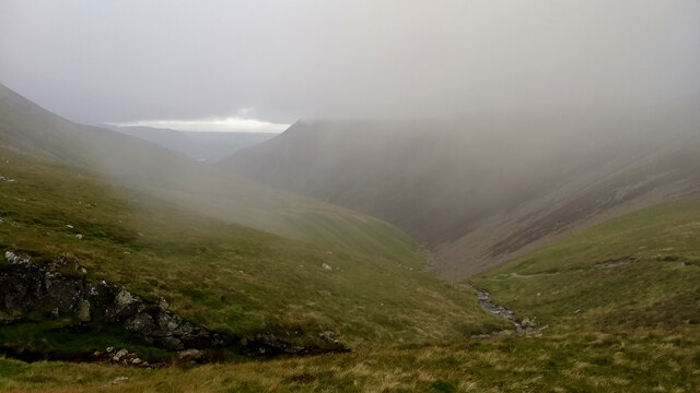
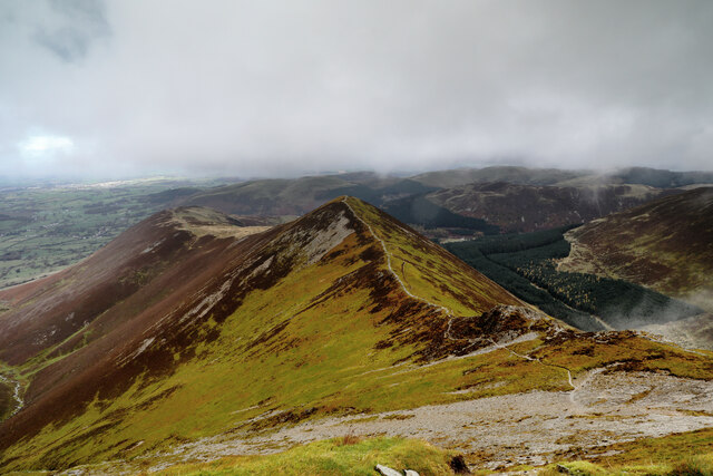
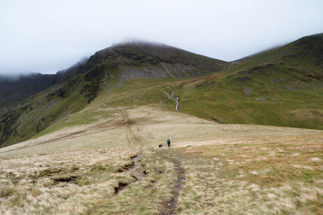
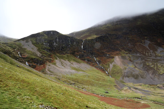
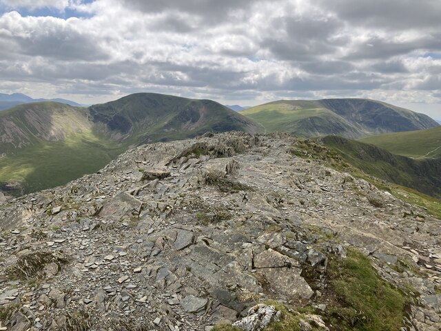
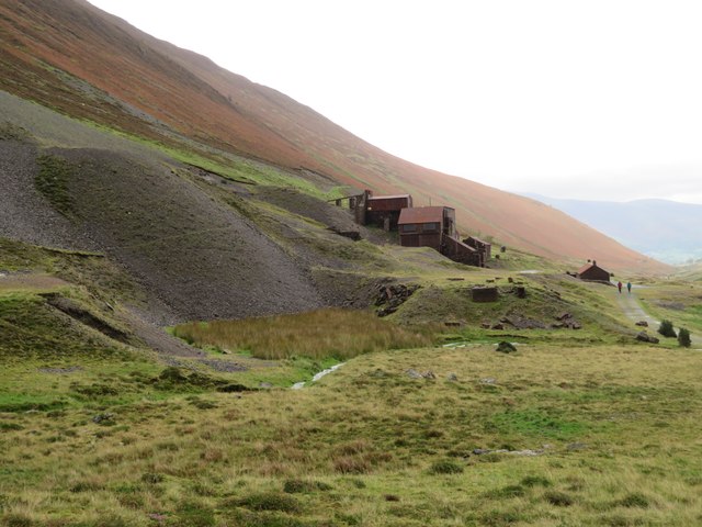
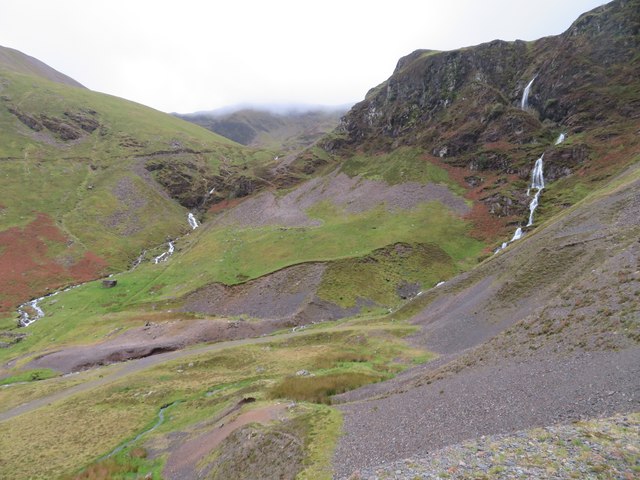
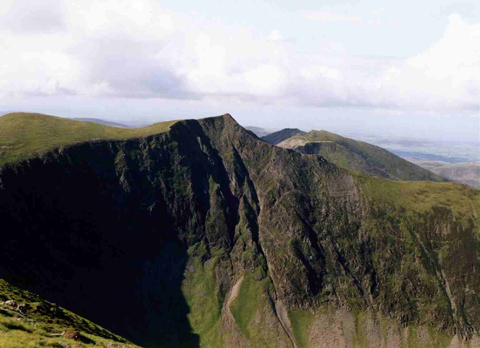
Situated in the western part of the Lake District, Ladyside Pike is part of a ridge that extends from Hopegill Head to Whiteside, offering stunning views of the surrounding landscape. It is primarily composed of volcanic rock and is well-known for its rugged and steep terrain, making it a popular destination for hikers and mountaineers.

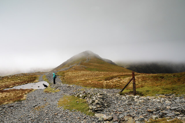
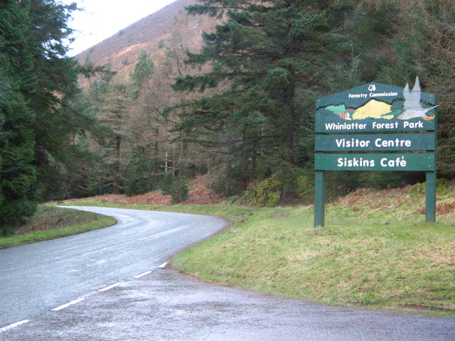
The ascent to Ladyside Pike can be approached from various starting points, including Lorton, Whinlatter Pass, and the village of Braithwaite. The most common route begins at the Whinlatter Visitor Centre, where a well-marked trail leads up through the forest, gradually gaining elevation. The final approach to the summit is more challenging, involving some scrambling over rocky terrain.

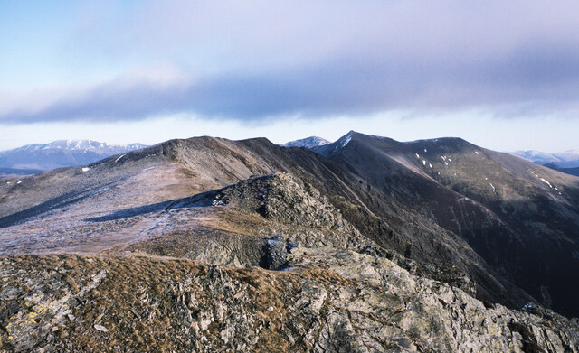
From the summit of Ladyside Pike, visitors can enjoy breathtaking panoramic views of the surrounding fells, including Grisedale Pike to the east and the towering Skiddaw massif to the north. On clear days, it is even possible to see as far as the Solway Firth and the Scottish hills.

Due to its accessibility, impressive vistas, and rugged beauty, Ladyside Pike attracts outdoor enthusiasts and nature lovers from all over the world, providing a memorable experience of the unique natural wonders the Lake District has to offer.

If you have any feedback on the listing, please let us know in the comments section below.

Ladyside Pike Images

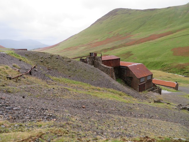
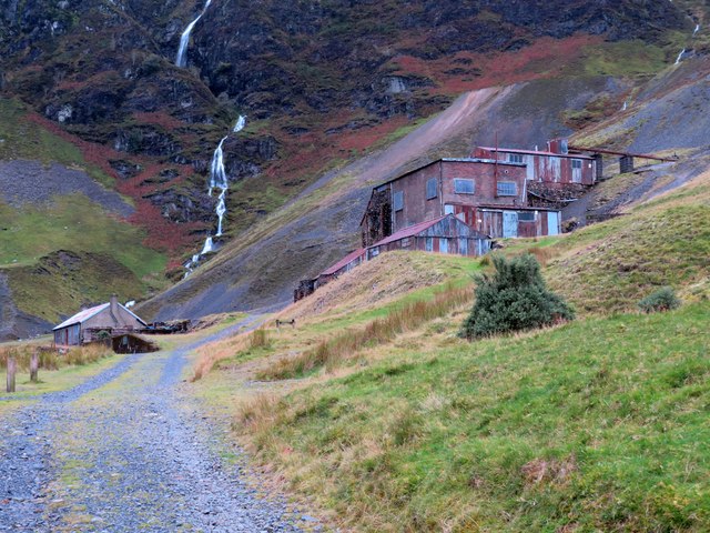
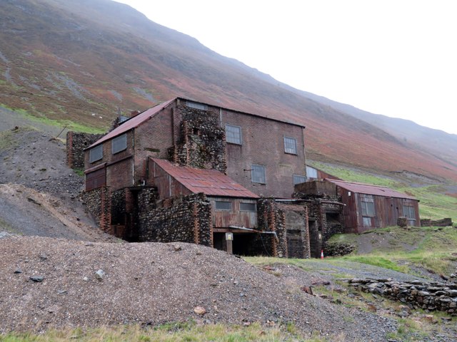
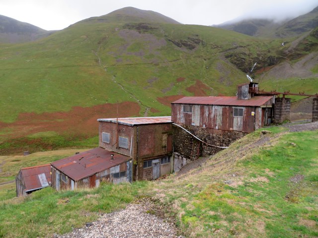
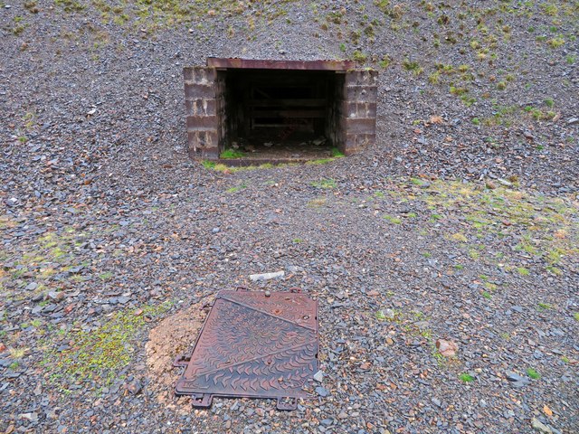
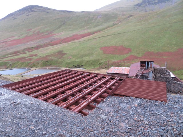
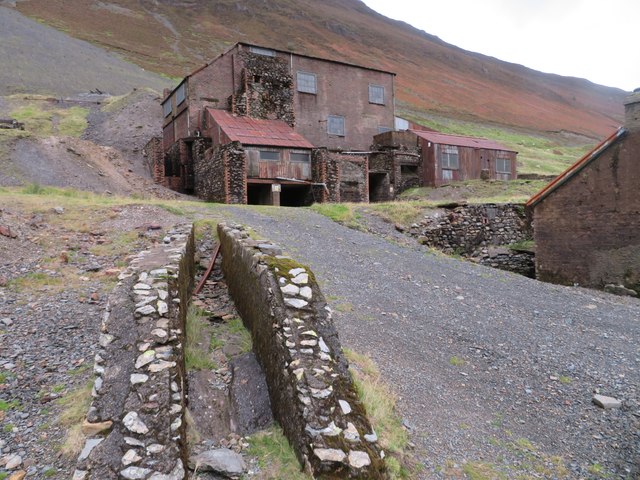
Images are sourced within 2km of 54.593246/-3.2629866 or Grid Reference NY1822. Thanks to Geograph Open Source API. All images are credited.

Gasgale Gill
Gasgale Gill
Ridge extending to east from summit of Whiteside The ridge connects Whiteside with Hopegill Head which is the shadowed, pointed mountain. Grizedale Pike is beyond it, sunlit.
Ridge extending to east from summit of Whiteside
The ridge connects Whiteside with Hopegill Head which is the shadowed, pointed mountain. Grizedale Pike is beyond it, sunlit.
Heading for the cloud containing Hopegill Head Deprived of any view from Grisedale Pike, we didn't have to drop very far at all to be back below the cloud, but the fresh northwesterly was particularly fierce in this gap on the way to Hobcarton Head and Hopegill Head (the latter hidden above cloudbase, whilst the former makes a brief appearance). Only a short distance further, the breeze became quite tolerable once again, though still pretty chilly, as is to be expected in November. At least the nasty patch showing on the rainfall radar forecast in the middle of the day didn't actually give us a shower.
Heading for the cloud containing Hopegill Head
Deprived of any view from Grisedale Pike, we didn't have to drop very far at all to be back below the cloud, but the fresh northwesterly was particularly fierce in this gap on the way to Hobcarton Head and Hopegill Head (the latter hidden above cloudbase, whilst the former makes a brief appearance). Only a short distance further, the breeze became quite tolerable once again, though still pretty chilly, as is to be expected in November. At least the nasty patch showing on the rainfall radar forecast in the middle of the day didn't actually give us a shower.
One way off Hopegill Head - Ladyside Pike By this time, we had not expected any view from the summit of Hopegill Head (see <a href="https://www.geograph.org.uk/photo/7333431">NY1922 : Heading for the cloud containing Hopegill Head</a>) but the cloudbase lifted a few tens of metres to show us the various ways on. Both routes towards the Buttermere valley are splendid ridgewalks, this way towards Ladyside Pike remaining on the tops for a shorter distance than the route over Whiteside which I recall from almost five decades ago as being a fine romp. With our car back at Braithwaite and no shuttle, today we would not get to enjoy either...
One way off Hopegill Head - Ladyside Pike
By this time, we had not expected any view from the summit of Hopegill Head (see NY1922 : Heading for the cloud containing Hopegill Head) but the cloudbase lifted a few tens of metres to show us the various ways on. Both routes towards the Buttermere valley are splendid ridgewalks, this way towards Ladyside Pike remaining on the tops for a shorter distance than the route over Whiteside which I recall from almost five decades ago as being a fine romp. With our car back at Braithwaite and no shuttle, today we would not get to enjoy either...
Coledale Hause The broad col of Coledale Hause separates Hopegill Head (to the north, behind the photographer) from Crag Hill, just in cloud ahead. To the right, the ground drops steeply into Gasgale Gill whilst to the left, a broad slope drops into Coledale. Footpaths go in all these directions, as well as a further one climbing the ridge to the right of the picture, in the direction of Grasmoor.
Coledale Hause
The broad col of Coledale Hause separates Hopegill Head (to the north, behind the photographer) from Crag Hill, just in cloud ahead. To the right, the ground drops steeply into Gasgale Gill whilst to the left, a broad slope drops into Coledale. Footpaths go in all these directions, as well as a further one climbing the ridge to the right of the picture, in the direction of Grasmoor.
Force Crag Pudding Beck has accumulated enough water to form a spectacular waterfall, Low Force, by the time it encounters the eponymous Force Crag. Although it hasn't cut much of a notch, and certainly nothing deep enough to be called a canyon, it nonetheless looks as if it would be a splendid venue for the sport of canyoning, albeit on a warmer day with perhaps less flow than today. To the right, the screes show evidence of mining activity which continued until quite recently, leaving scars which remind everyone that much of the Lake District National Park is, in fact, a highly degraded, post-industrial landscape slowly returning to nature, not helped one iota by the ugly buildings being declared an ancient monument rather than the former owners being pursued assiduously to cover the costs of removal and remediation.
Force Crag
Pudding Beck has accumulated enough water to form a spectacular waterfall, Low Force, by the time it encounters the eponymous Force Crag. Although it hasn't cut much of a notch, and certainly nothing deep enough to be called a canyon, it nonetheless looks as if it would be a splendid venue for the sport of canyoning, albeit on a warmer day with perhaps less flow than today. To the right, the screes show evidence of mining activity which continued until quite recently, leaving scars which remind everyone that much of the Lake District National Park is, in fact, a highly degraded, post-industrial landscape slowly returning to nature, not helped one iota by the ugly buildings being declared an ancient monument rather than the former owners being pursued assiduously to cover the costs of removal and remediation.
Grisedale Pike summit
Force Crag Mine, Coledale At the head of Coledale is the Scheduled ancient Monument that is the Force Crag Mine processing plant. The mine variously mined silver, lead and barytes, closing in 1990 and passing into the care of the National Trust. In 2023 there were three open days at the processing plant but this wasn't one of them. The walk in is approximately 4 kilometres.
Force Crag Mine, Coledale
At the head of Coledale is the Scheduled ancient Monument that is the Force Crag Mine processing plant. The mine variously mined silver, lead and barytes, closing in 1990 and passing into the care of the National Trust. In 2023 there were three open days at the processing plant but this wasn't one of them. The walk in is approximately 4 kilometres.
Force Crag Mine, Coledale At the head of Coledale is the Scheduled Ancient Monument that is the Force Crag Mine processing plant. The mine variously mined silver, lead and barytes, closing in 1990 and passing into the care of the National Trust. In 2023 there were three open days at the processing plant but this wasn't one of them. The walk in is approximately 4 kilometres.
Force Crag Mine, Coledale
At the head of Coledale is the Scheduled Ancient Monument that is the Force Crag Mine processing plant. The mine variously mined silver, lead and barytes, closing in 1990 and passing into the care of the National Trust. In 2023 there were three open days at the processing plant but this wasn't one of them. The walk in is approximately 4 kilometres.
Force Crag Mine, Coledale - processing plant At the head of Coledale is the Scheduled Ancient Monument that is the Force Crag Mine processing plant. The mine variously mined silver, lead and barytes, closing in 1990 and passing into the care of the National Trust. In 2023 there were three open days at the processing plant but this wasn't one of them. The walk in is approximately 4 kilometres.
Force Crag Mine, Coledale - processing plant
At the head of Coledale is the Scheduled Ancient Monument that is the Force Crag Mine processing plant. The mine variously mined silver, lead and barytes, closing in 1990 and passing into the care of the National Trust. In 2023 there were three open days at the processing plant but this wasn't one of them. The walk in is approximately 4 kilometres.
Force Crag Mine, Coledale - Level 1 entrance At the head of Coledale is the Scheduled Ancient Monument that is the Force Crag Mine processing plant. The mine variously mined silver, lead and barytes, closing in 1990 and passing into the care of the National Trust. In 2023 there were three open days at the processing plant but this wasn't one of them. The walk in is approximately 4 kilometres.
This shows the entrance to Level 1 that is above the processing plant. This has a gate just inside the opening. The manhole in the foreground covers the drainage water that can be heard rushing forth below.
Force Crag Mine, Coledale - Level 1 entrance
At the head of Coledale is the Scheduled Ancient Monument that is the Force Crag Mine processing plant. The mine variously mined silver, lead and barytes, closing in 1990 and passing into the care of the National Trust. In 2023 there were three open days at the processing plant but this wasn't one of them. The walk in is approximately 4 kilometres. This shows the entrance to Level 1 that is above the processing plant. This has a gate just inside the opening. The manhole in the foreground covers the drainage water that can be heard rushing forth below.
Force Crag Mine, Coledale - grizzly At the head of Coledale is the Scheduled Ancient Monument that is the Force Crag Mine processing plant. The mine variously mined silver, lead and barytes, closing in 1990 and passing into the care of the National Trust. In 2023 there were three open days at the processing plant but this wasn't one of them. The walk in is approximately 4 kilometres.
This shows the very coarse sieve or grizzly where the ore is tipped out to be screened and then transported to the processing plant below.
Force Crag Mine, Coledale - grizzly
At the head of Coledale is the Scheduled Ancient Monument that is the Force Crag Mine processing plant. The mine variously mined silver, lead and barytes, closing in 1990 and passing into the care of the National Trust. In 2023 there were three open days at the processing plant but this wasn't one of them. The walk in is approximately 4 kilometres. This shows the very coarse sieve or grizzly where the ore is tipped out to be screened and then transported to the processing plant below.
Force Crag Mine, Coledale At the head of Coledale is the Scheduled Ancient Monument that is the Force Crag Mine processing plant. The mine variously mined silver, lead and barytes, closing in 1990 and passing into the care of the National Trust. In 2023 there were three open days at the processing plant but this wasn't one of them. The walk in is approximately 4 kilometres.
Force Crag Mine, Coledale
At the head of Coledale is the Scheduled Ancient Monument that is the Force Crag Mine processing plant. The mine variously mined silver, lead and barytes, closing in 1990 and passing into the care of the National Trust. In 2023 there were three open days at the processing plant but this wasn't one of them. The walk in is approximately 4 kilometres.
The head of Coledale from Force Crag Mine The positions are approximations.
The head of Coledale from Force Crag Mine
The positions are approximations.
Force Crag Mine, Coledale At the head of Coledale is the Scheduled Ancient Monument that is the Force Crag Mine processing plant. The mine variously mined silver, lead and barytes, closing in 1990 and passing into the care of the National Trust. In 2023 there were three open days at the processing plant but this wasn't one of them. The walk in is approximately 4 kilometres.
Force Crag Mine, Coledale
At the head of Coledale is the Scheduled Ancient Monument that is the Force Crag Mine processing plant. The mine variously mined silver, lead and barytes, closing in 1990 and passing into the care of the National Trust. In 2023 there were three open days at the processing plant but this wasn't one of them. The walk in is approximately 4 kilometres.
Force Crag Mine - 0 Level The collapse of this level was partly a reason the mine closed in the early 90s.
Force Crag Mine - 0 Level
The collapse of this level was partly a reason the mine closed in the early 90s.
Show me another place!

Ladyside Pike is located at Grid Ref: NY1822 (Lat: 54.593246, Lng: -3.2629866)

Administrative County: Cumbria

District: Allerdale

Police Authority: Cumbria

What 3 Words

///procured.labs.slimy. Near Keswick, Cumbria

Related Wikis

Hopegill Head

Hopegill Head is a fell in the English Lake District in Cumbria. It is located nine kilometres (5+1⁄2 miles) west of the town of Keswick and is well seen...

Whiteside (Lake District)

Whiteside is a fell in the north-western area of the English Lake District. It stands at the western end of the Grisedale Pike- Hopegill Head ridge overlooking...

Grisedale Pike

Grisedale Pike is a fell in the Lake District, Cumbria, England, situated 4+1⁄2 miles (7 kilometres) west of the town of Keswick in the north-western sector...

Whinlatter Pass

The Whinlatter Pass is a mountain pass in the Lake District in Cumbria, England. It is located on the B5292 road linking Braithwaite, to the west of Keswick...

Nearby Amenities

Located within 500m of 54.593246,-3.2629866
Source: survey
Lat/Long: 54.5935242/-3.2630837
Ladyside Pike
Ele: 703
Natural: peak
Source: survey
Wikidata: Q5899843
Wikipedia: en:Hopegill Head
Lat/Long: 54.5932916/-3.262999
The data included in this document is from www.openstreetmap.org. The data is made available under ODbL.

Have you been to Ladyside Pike?

Leave your review of Ladyside Pike below (or comments, questions and feedback).