Common Down
Downs, Moorland in Somerset Somerset West and Taunton
England
Common Down

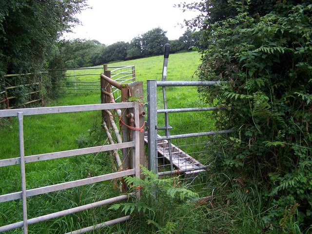
Common Down is a beautiful rural area located in the county of Somerset, England. Situated on the eastern edge of the Quantock Hills, it is characterized by its stunning natural landscapes, including downs and moorland. The area is dotted with picturesque villages and offers a tranquil and peaceful environment for residents and visitors alike.
The downs in Common Down are expansive grassy areas with gently rolling hills, providing breathtaking panoramic views of the surrounding countryside. These downs are often used for grazing livestock, such as sheep and cows, adding to the traditional rural charm of the area. The moorland, on the other hand, is characterized by its heather-covered hills and open spaces, providing a habitat for a variety of wildlife and plant species.
The villages in Common Down exude a sense of old-world charm, with their thatched-roof cottages, quaint village greens, and historic churches. The local community is close-knit and welcoming, with a strong sense of community spirit.
Common Down is a haven for outdoor enthusiasts, offering numerous walking and hiking trails that allow visitors to explore the natural beauty of the area. The Quantock Hills, which are designated as an Area of Outstanding Natural Beauty, provide ample opportunities for activities such as mountain biking, horse riding, and birdwatching.
Overall, Common Down, Somerset (Downs, Moorland) is a hidden gem that showcases the best of rural England. Its stunning natural landscapes, charming villages, and strong community spirit make it a must-visit destination for those seeking a peaceful and authentic countryside experience.
If you have any feedback on the listing, please let us know in the comments section below.
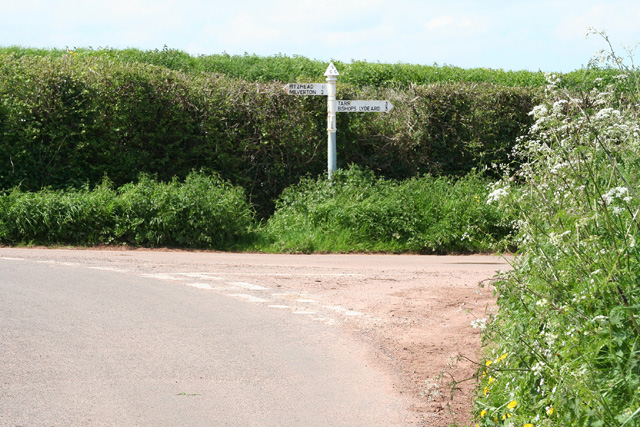
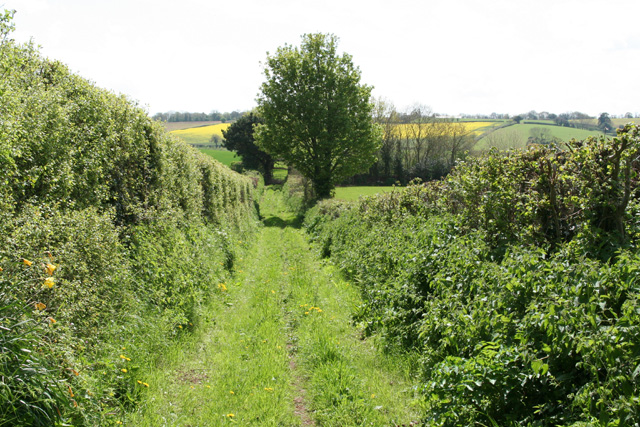
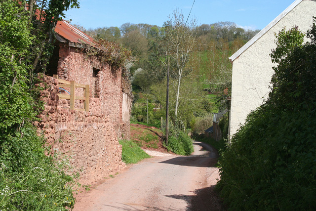
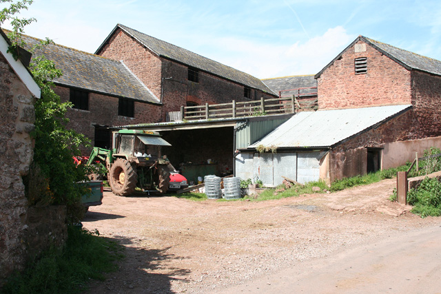
Common Down Images
Images are sourced within 2km of 51.06403/-3.2431659 or Grid Reference ST1230. Thanks to Geograph Open Source API. All images are credited.


Common Down is located at Grid Ref: ST1230 (Lat: 51.06403, Lng: -3.2431659)
Administrative County: Somerset
District: Somerset West and Taunton
Police Authority: Avon and Somerset
What 3 Words
///communal.hangs.glimmers. Near Bishops Lydeard, Somerset
Nearby Locations
Related Wikis
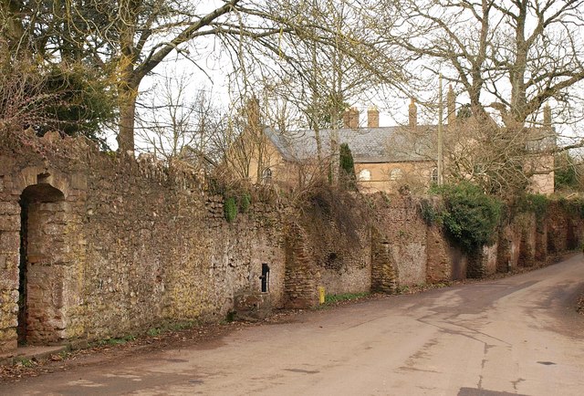
Fitzhead Court and The Manor
Fitzhead Court and The Manor in Fitzhead, Somerset, England was built in the late 16th century and has now been split into two buildings. It is a Grade...

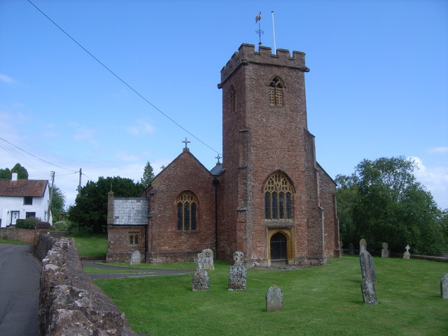
Church of St James the Great, Fitzhead
The Anglican Church of St James the Great in Fitzhead, Somerset, England was built in the 15th century. It is a Grade II* listed building. == History... ==
Fitzhead
Fitzhead is a village and civil parish in Somerset, England, situated approximately 6 miles (9.7 km) north west of Taunton. The village has an estimated...

Church of the Holy Trinity, Ash Priors
The Church of the Holy Trinity in Ash Priors, Somerset, England was built in the 15th century. It is a Grade II* listed building. == History == In the...
Ash Priors
Ash Priors is a village and parish in Somerset, England, situated 5 miles (8.0 km) north west of Taunton. The village has a population of 155. == History... ==

Lydeard St Lawrence
Lydeard St Lawrence or St Lawrence Lydiard is a village and civil parish in Somerset, England, situated 7 miles (11.3 km) north west of Taunton. The village...

Combe Florey House
Combe Florey House in Combe Florey, Somerset, England is a country house dating from the early 18th century. It replaced an Elizabethan manor house which...

Halse, Somerset
Halse is a village and civil parish in Somerset, England, situated 6 miles (9.7 km) north west of Taunton. The village has a population of 290. == History... ==
Nearby Amenities
Located within 500m of 51.06403,-3.2431659Have you been to Common Down?
Leave your review of Common Down below (or comments, questions and feedback).